From the 2nd of February
through the 15th of February, we took a long road trip to southern
California. We wanted
to be in sunshine and warmth for a while in the mioddle of winter.
This trip did not
disappoint. We had perfect weather the entire time, inlcuding
driving down
and back up. We
threaded the needle between the heavy winter storms California has
experienced this winter.
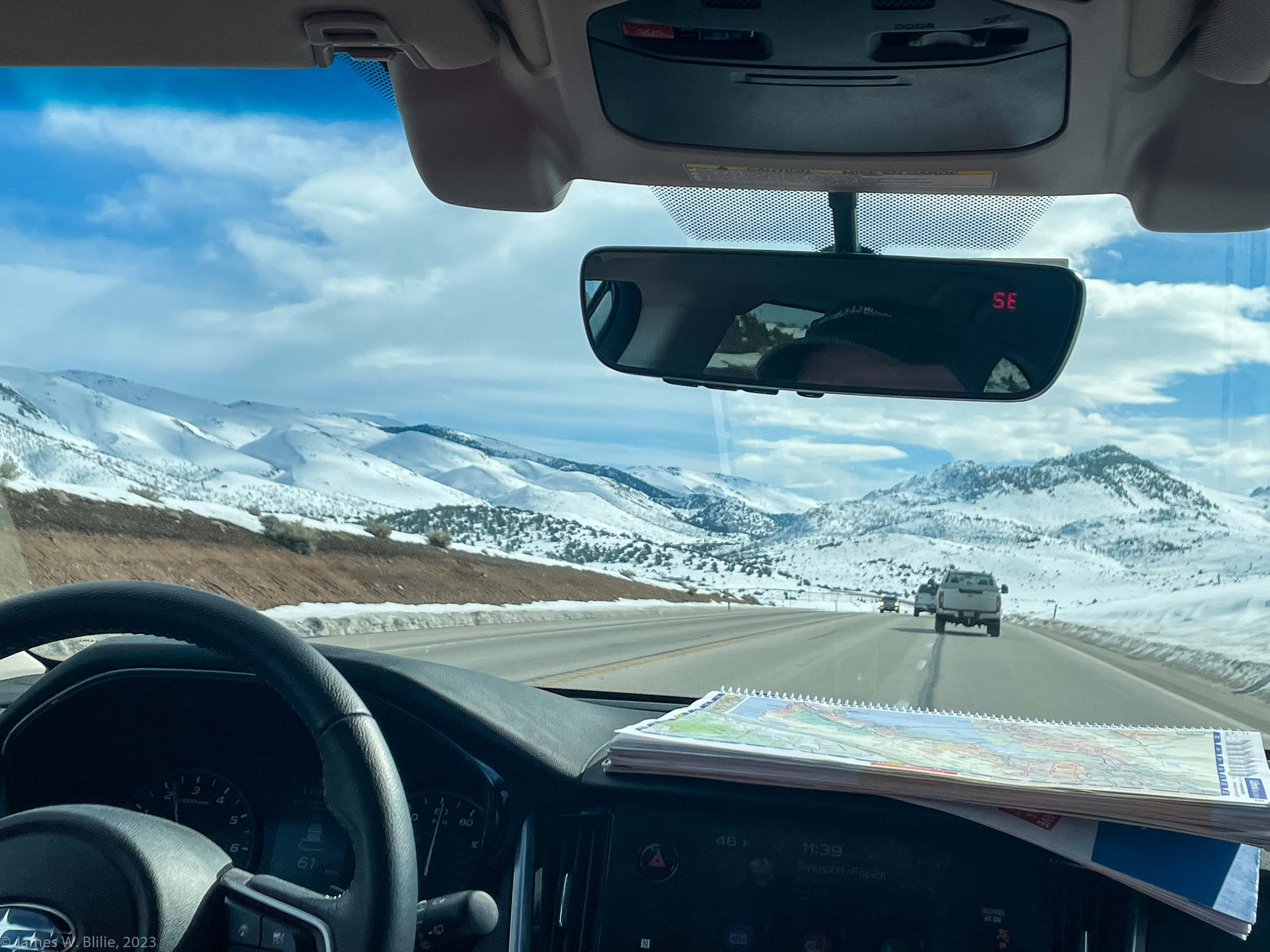
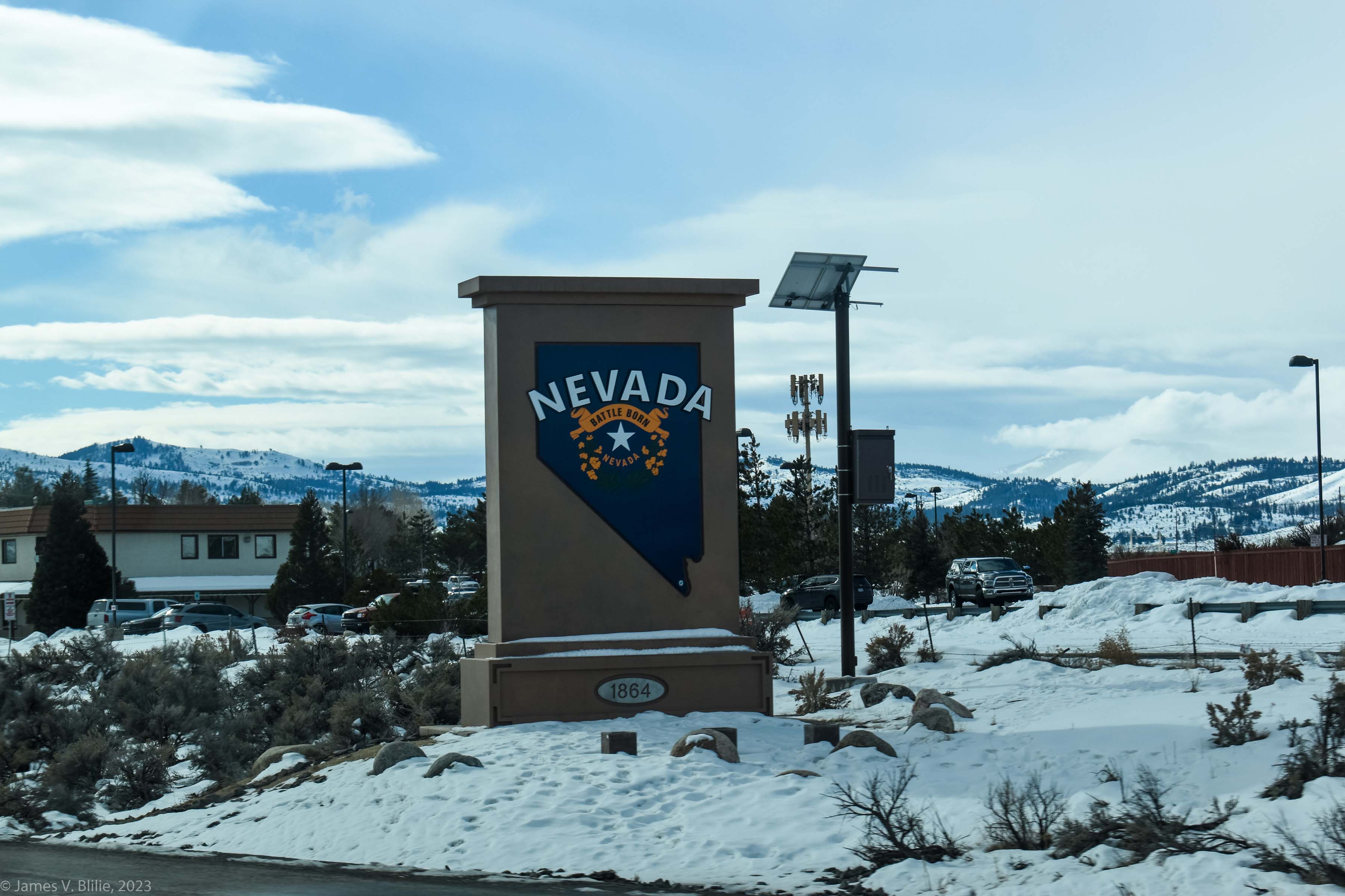
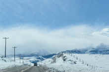
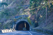
We drove down US Hwy 197
and 97 to just south of Bend, Oregon, then took Oregon
Highway 31 southeast to
pick up US Hwy 395, which we then followed all the way to
within just a few miles of
Palm Desert, where we rented an Air B&B, stopping for the
night at Altura California
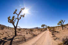
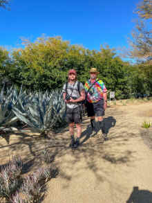
and Bishop California. We hiked Joshua Tree National Park,
The Thousand Palms Oasis,
The "Indian Canyons" just outside of Palm Springs, and
visited
the Sunnylands Estate in
Rancho Mirage.
We then crossed the coastal
mountains to the Pacific coast at Dana Point and followed
the PCH up to Seal Beach,
where we stayed for two more days. From Seal Beach,
we visited the Bolsa Chica
Wildlife Reserve, Huntington Beach, and the Mission San
Juan Capistrano.
Then is was three days up
I-5 back home, stopping at Manteca, California and Medford,
Oregon.
|


|

|


|


|
|
Criterion
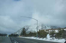
Summit, Oregon
|
Criterion
Summit, Oregon:
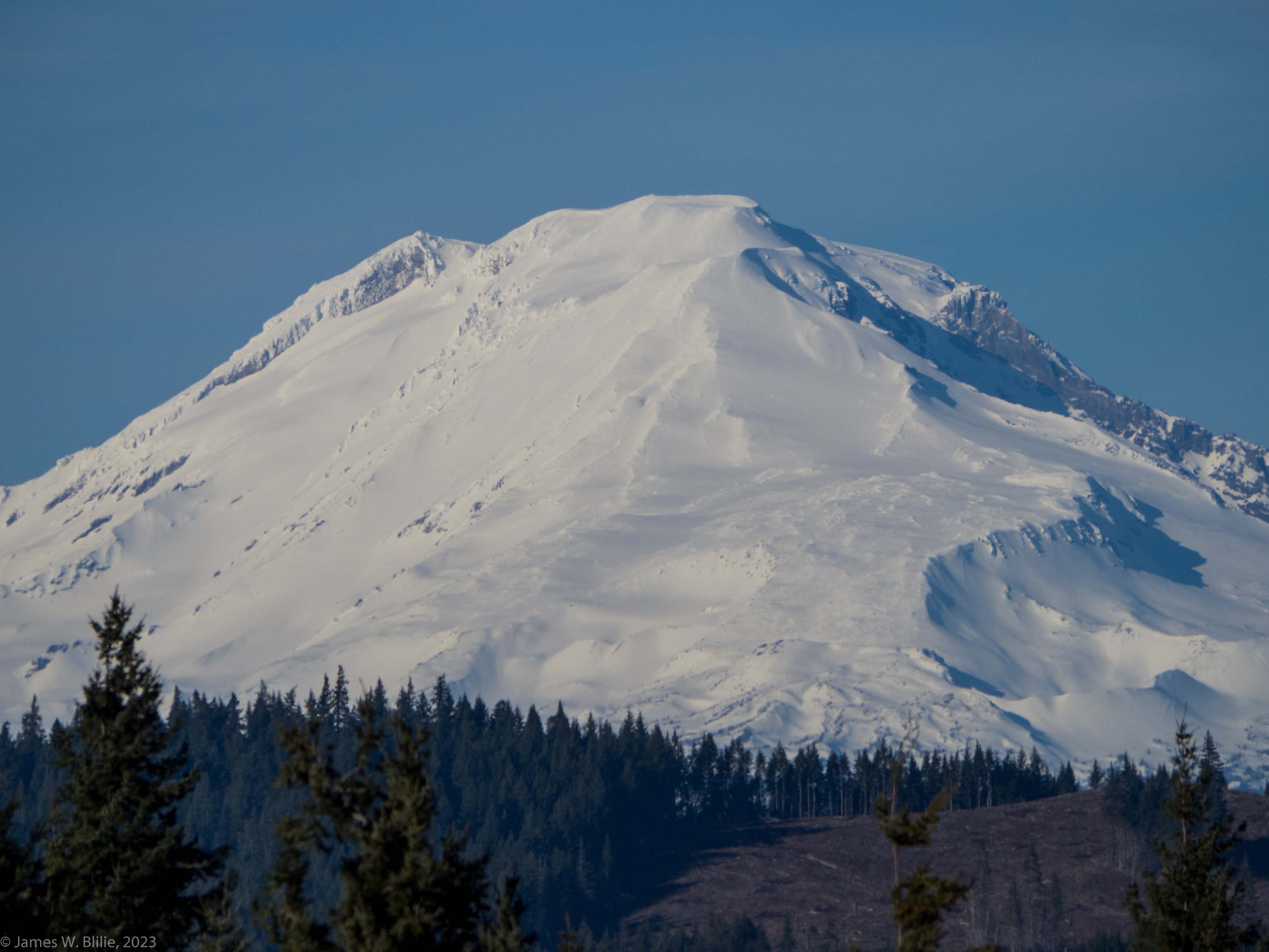
Mount Adams
|
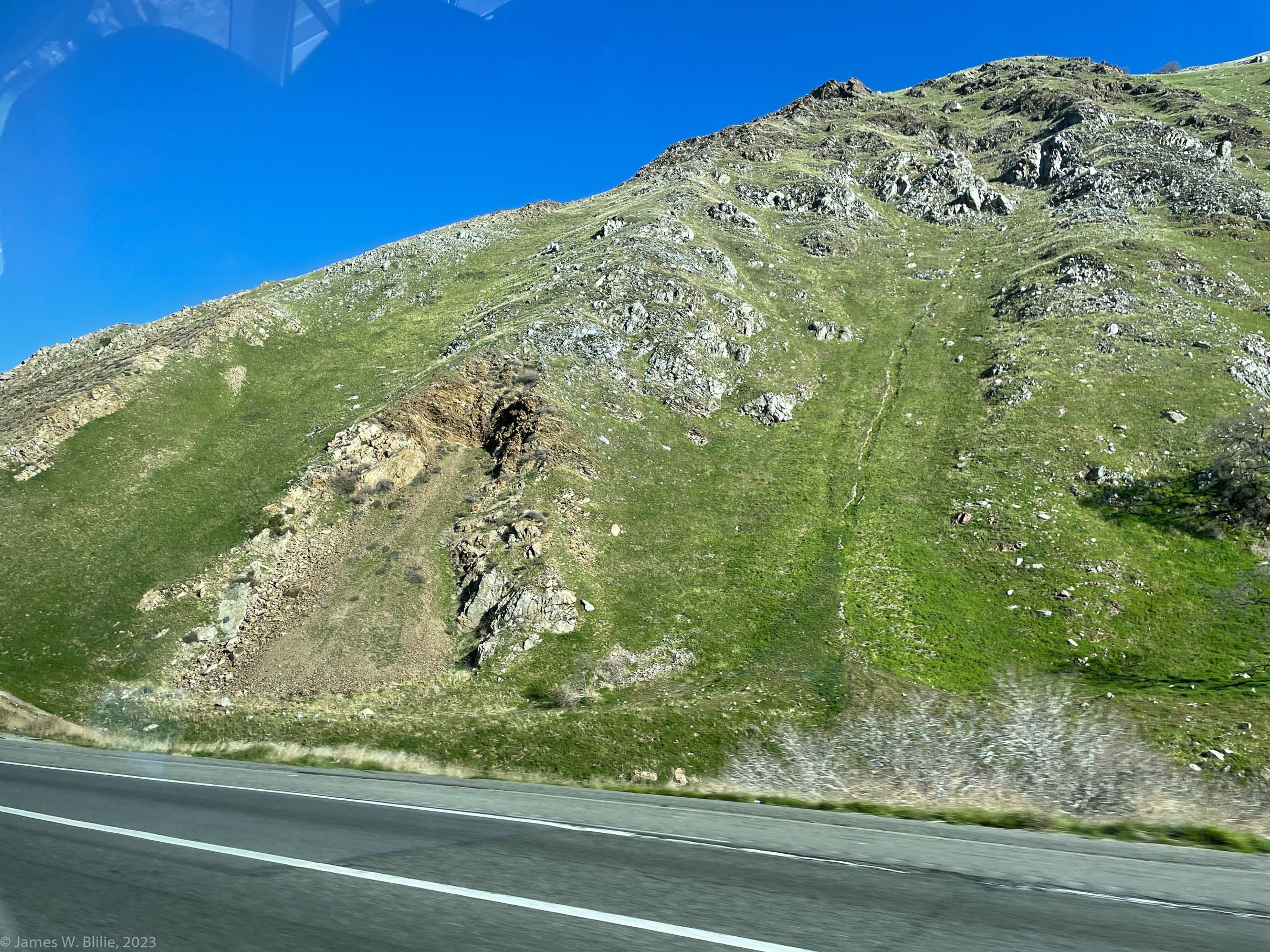
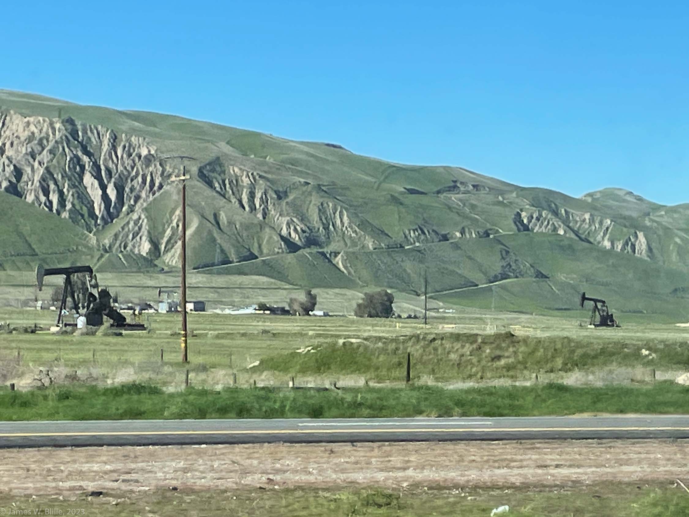
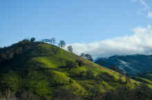
California high
desert
|
California high
desert
|
|


|


|


|


|
|
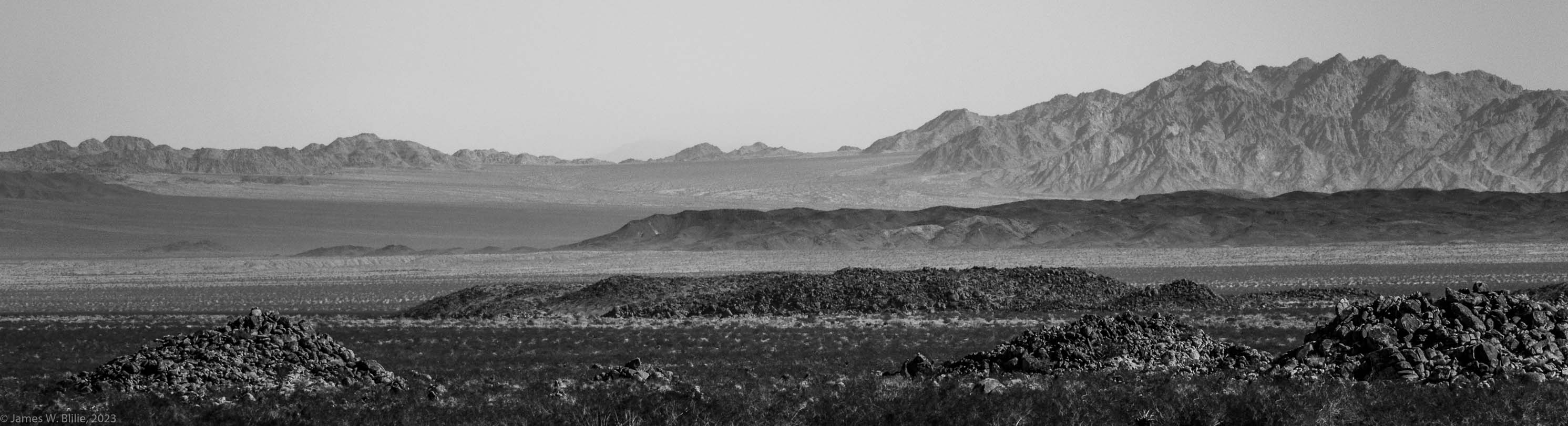
California high
desert
|
California high
desert
|
California high
desert
|
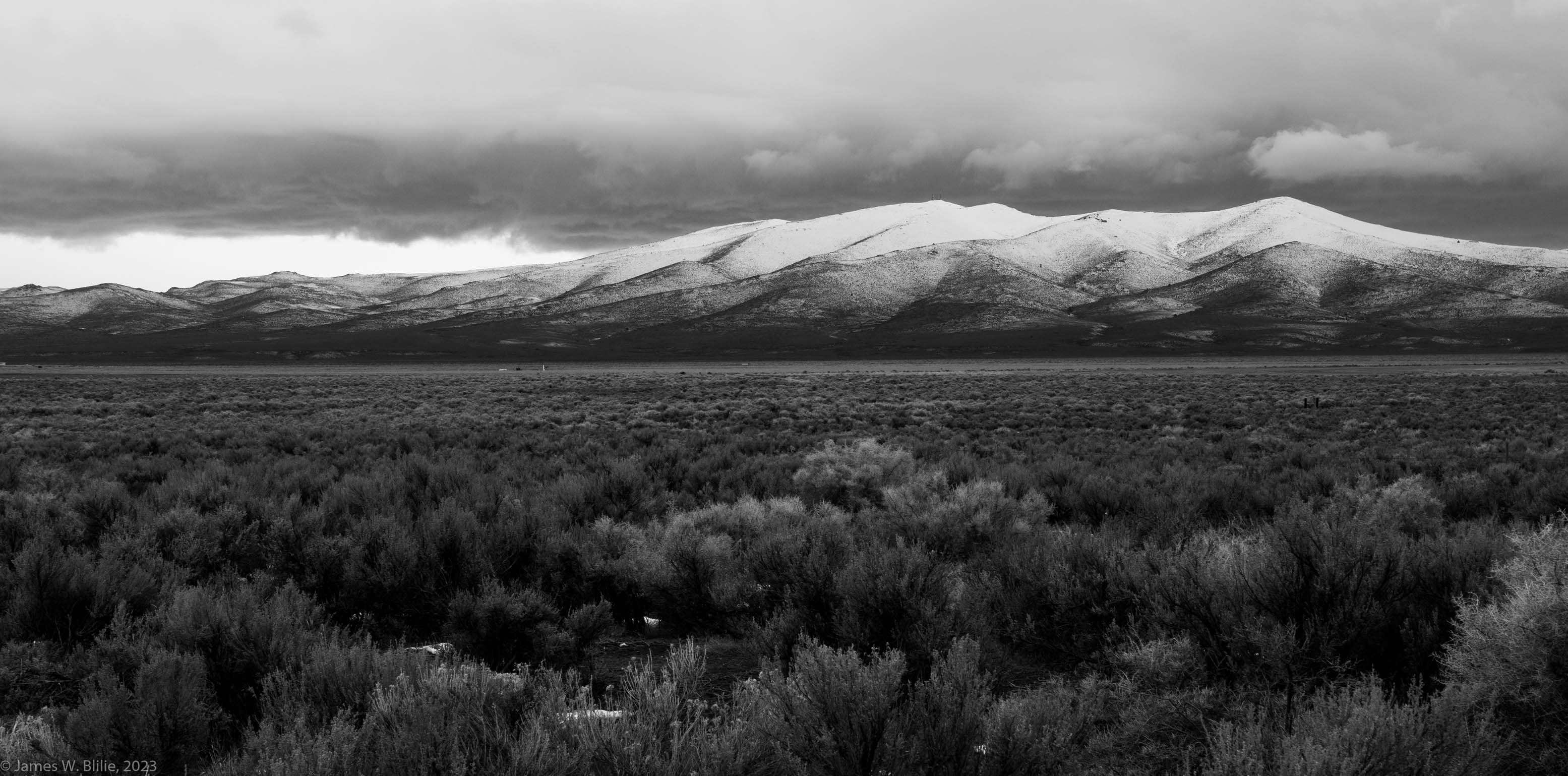
California high
desert: Honey Lake
|
|

|

|

|


|
|
California high
desert
|
California high
desert: Topaz Lake
|
California high
desert
|
|
|


|


|


|


|
|
California high
desert: Mono
Lake
|
California high
desert: Mono
Lake
|
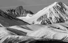
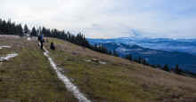
Views of the eastern Sierra
Nevada
|
Views of the eastern Sierra
Nevada
|
|


|


|


|

|
|
Views of the eastern Sierra
Nevada
|
Views of the eastern Sierra
Nevada
|
Views of the eastern Sierra
Nevada
|
Views of the eastern Sierra
Nevada
|
|


|


|


|


|
|
Views of the eastern Sierra
Nevada
|
Views of the eastern Sierra
Nevada
|
Views of the eastern Sierra
Nevada
|
Views of the eastern Sierra
Nevada
Bottom: Mount
Whitney
|
|


|


|


|

|
|
Views of the eastern Sierra
Nevada
California Quail cock
|
Views of the eastern Sierra
Nevada
Mount Whitney
|
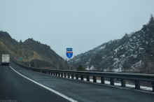
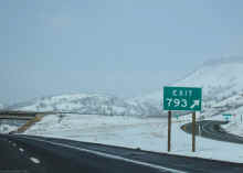
Into the desert
|
Into the desert
|
|

|

|

|


|
|
Into the desert
|
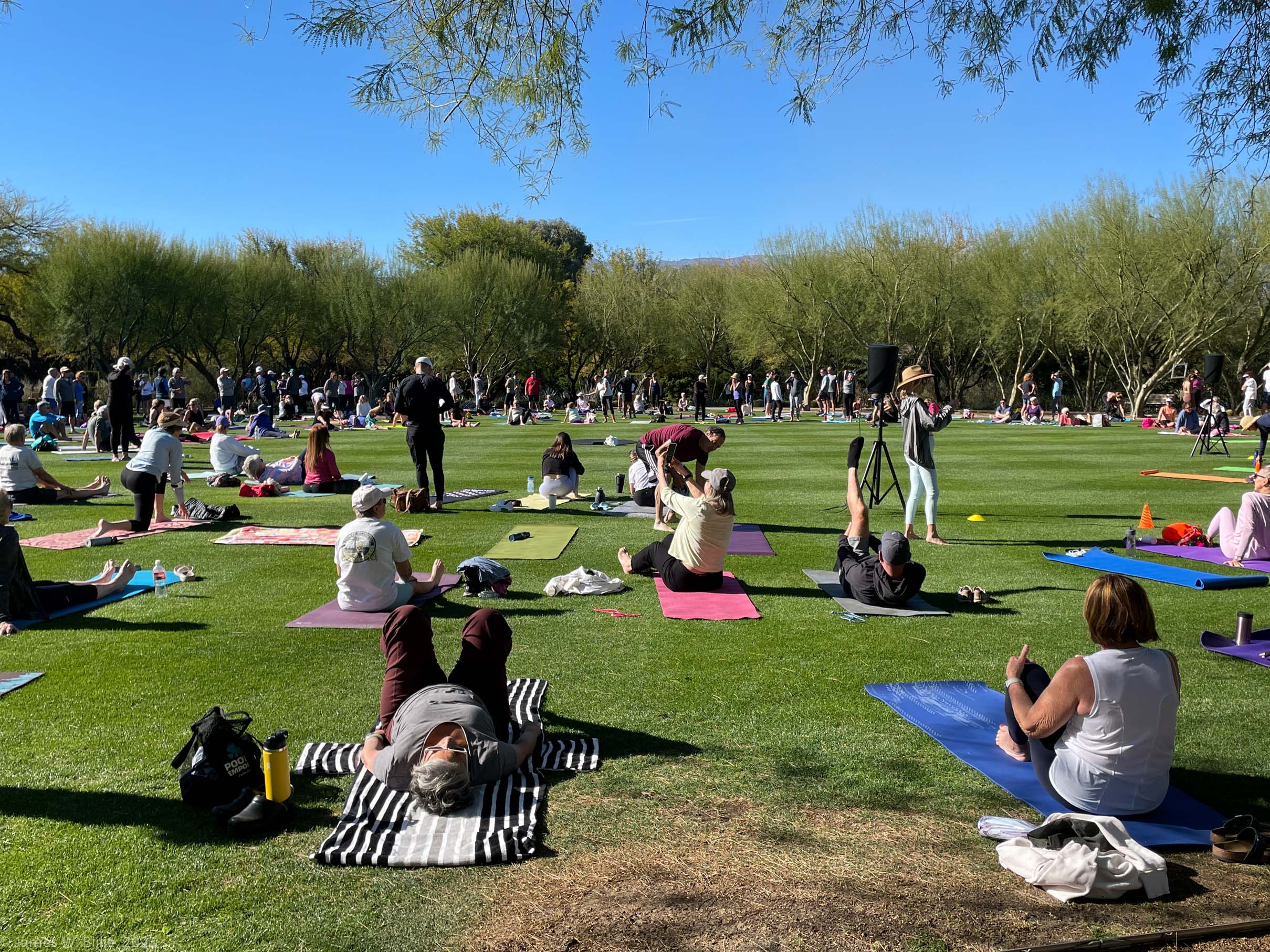
Palm Desert:
Our B&B
|
Moonrise, Palm
Desert: Our B&B
|
Palm Desert:
Our B&B
|
|


|


|


|


|
|
Palm Desert:
Our B&B
|
Palm Desert:
Our B&B
|
Palm Desert:
Our B&B
|
Palm Desert:
Our B&B
|
|


|


|

|

|
|
Palm Desert:
Our B&B
|
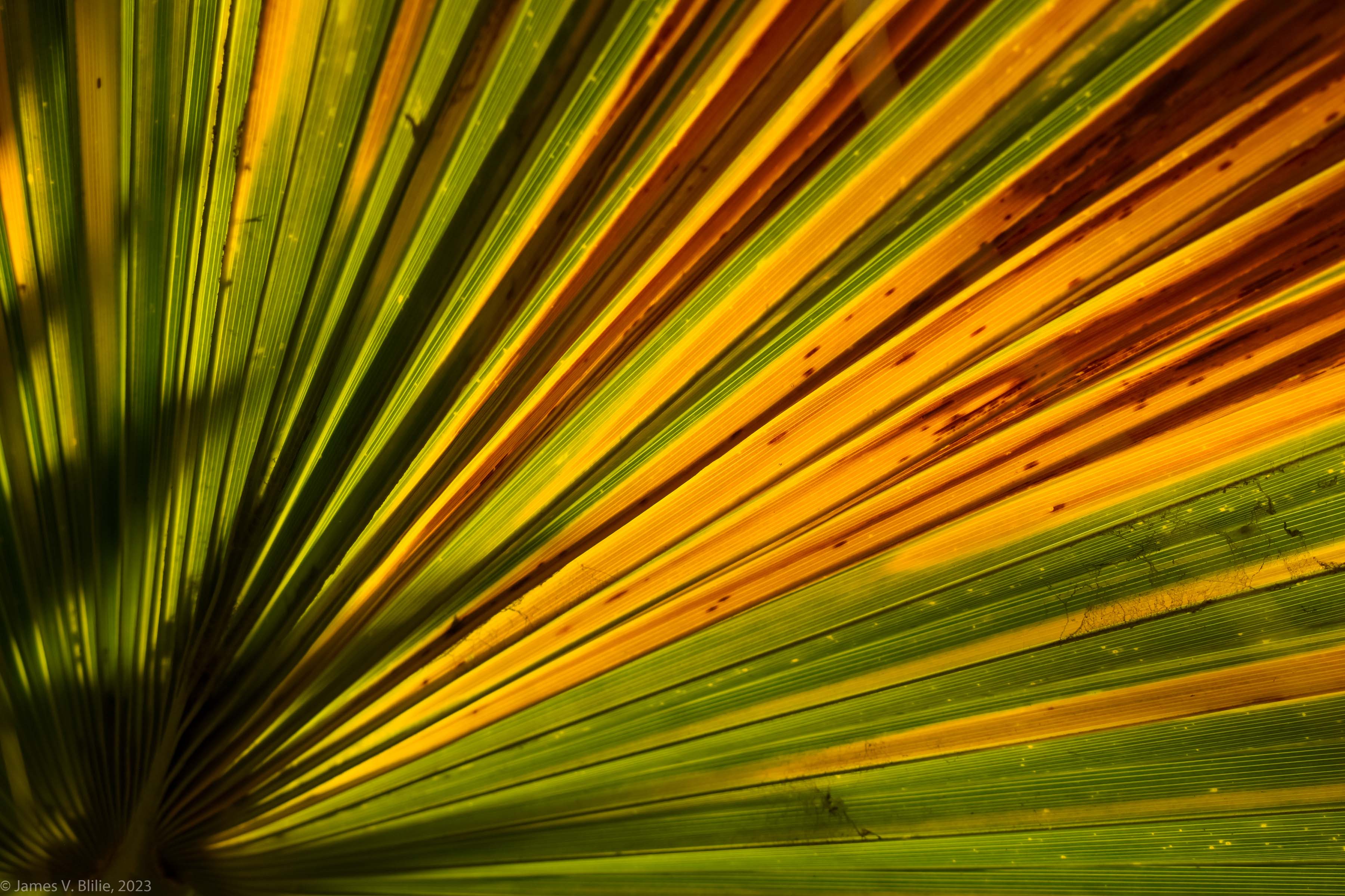
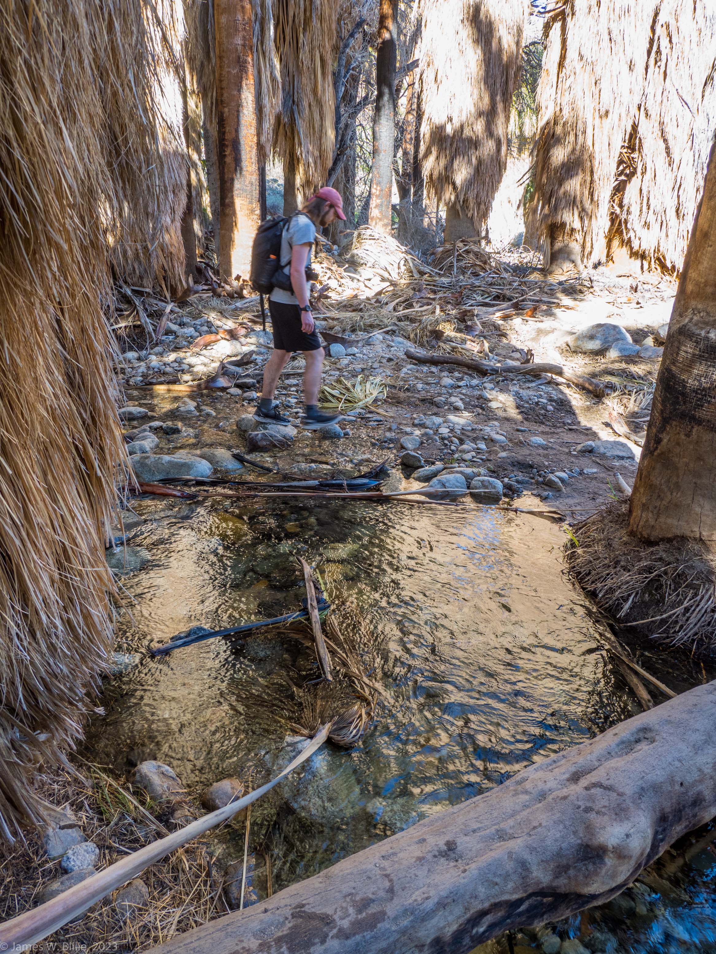
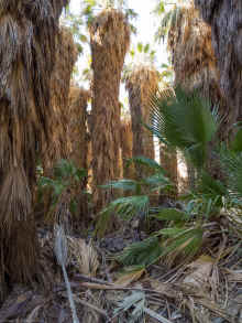
Thousand Palms Oasis
|
Thousand Palms Oasis
|
Thousand Palms Oasis
|
|

|
|

|

|
|
Thousand Palms Oasis
|
Thousand Palms Oasis
|
Thousand Palms Oasis
|
Thousand Palms Oasis
|
|


|

|

|

|
|
Thousand Palms Oasis
|
Thousand Palms Oasis
|
Thousand Palms Oasis
|
Thousand Palms Oasis
|
|

|

|

|


|
|
Thousand Palms Oasis
|
Thousand Palms Oasis
|
Thousand Palms Oasis
|
Thousand Palms
Oasis: Jamie's photos
|
|


|


|

|


|
|
Thousand Palms
Oasis: Jamie's photos
|
Thousand Palms
Oasis: Jamie's photos
|
Thousand Palms
Oasis: Jamie's photos
|
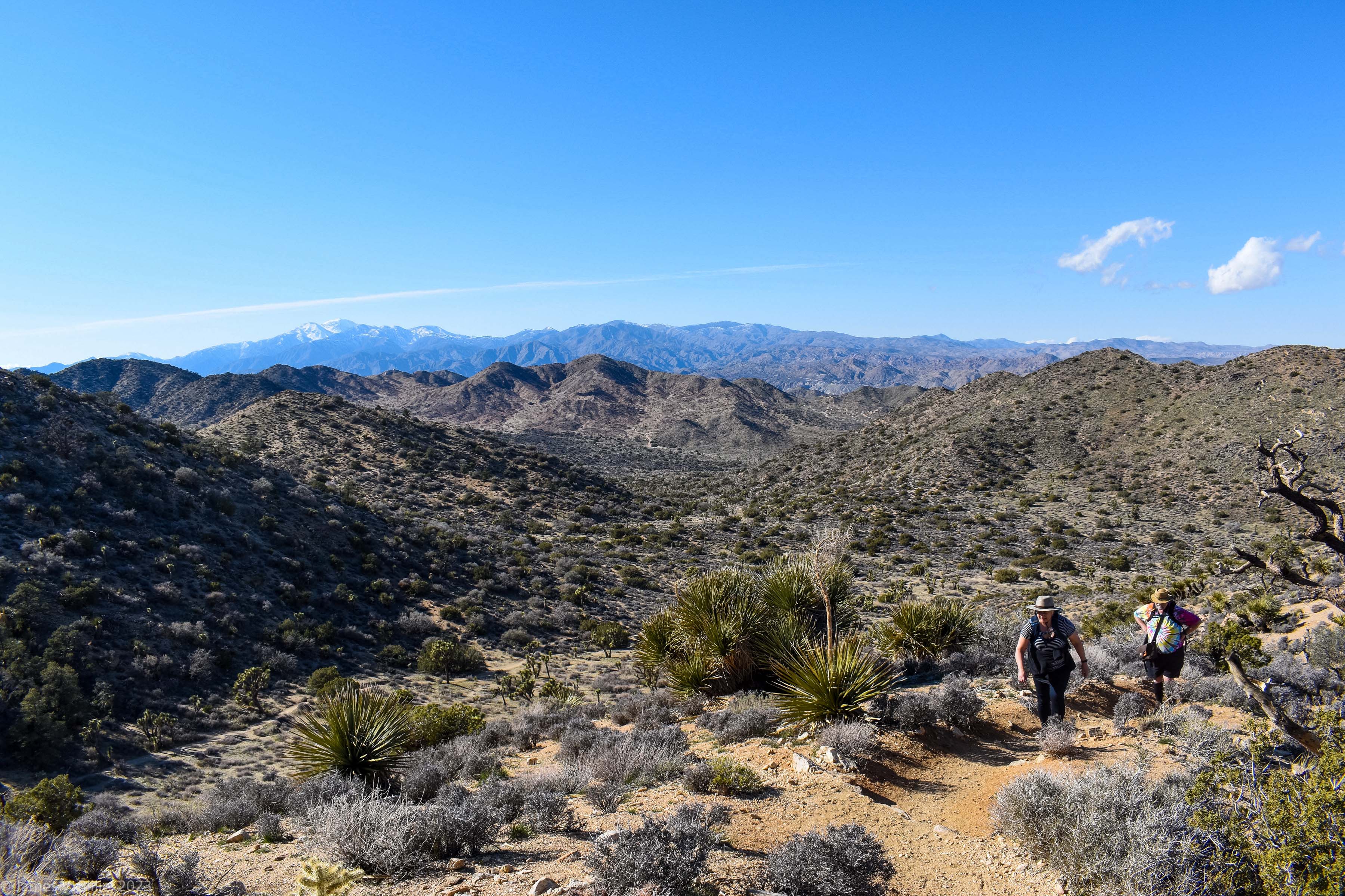
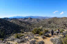
Blackrock Canyon, Joshua
Tree National Park
|
|


|

|


|

|
|
Blackrock Canyon, Joshua
Tree National Park
|
Blackrock Canyon, Joshua
Tree National Park
|
Blackrock Canyon, Joshua
Tree National Park
|
Blackrock Canyon, Joshua
Tree National Park
|
|

|


|


|


|
|
Blackrock Canyon, Joshua
Tree National Park
|
Many windmills and
some very high winds
|
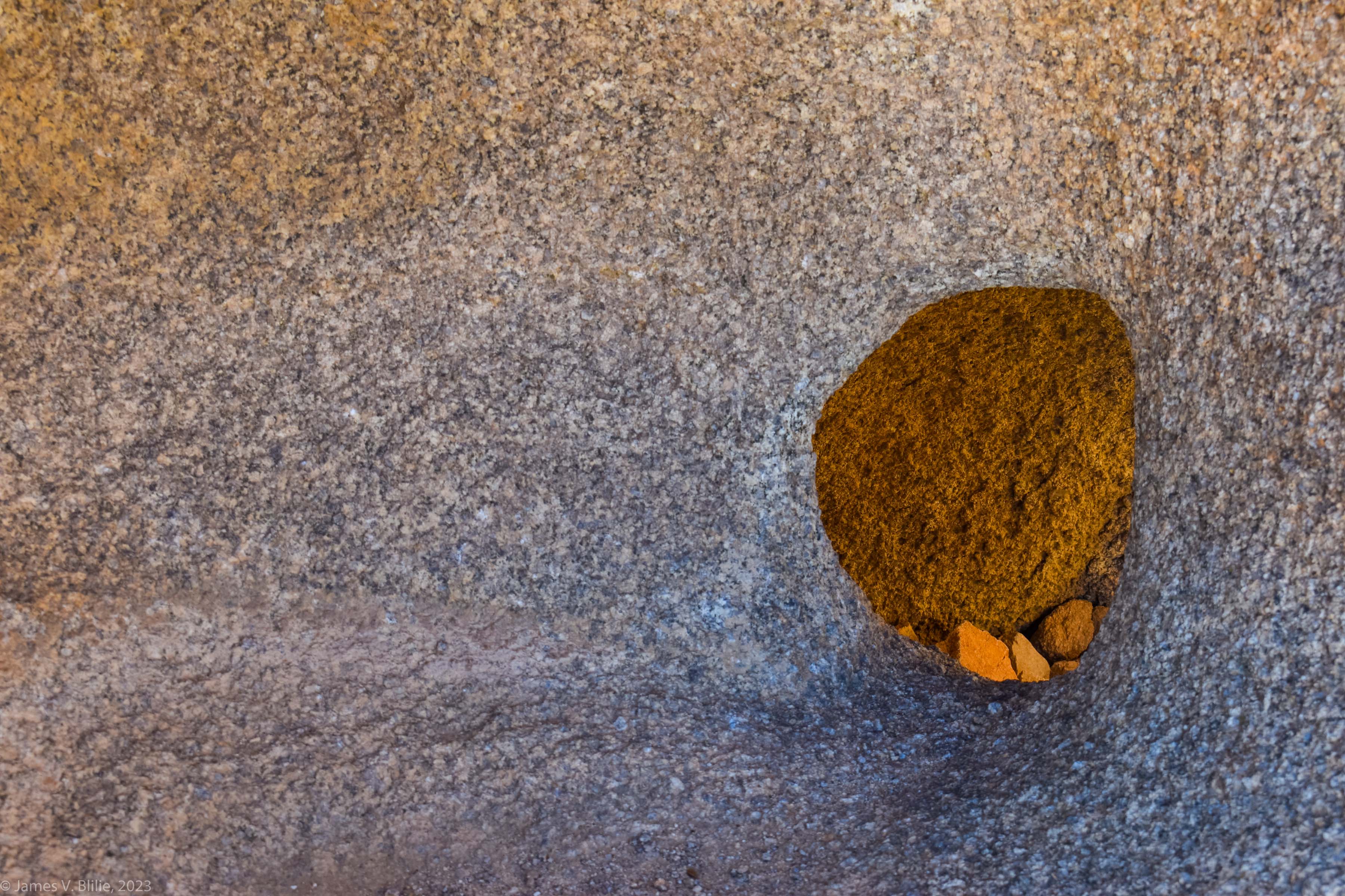
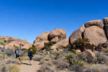
Split Rock Trail, Joshua
Tree National Park
|
Split Rock Trail, Joshua
Tree National Park
|
|


|

|


|

|
|
Split Rock Trail, Joshua
Tree National Park
|
Split Rock Trail, Joshua
Tree National Park
|
Split Rock Trail, Joshua
Tree National Park
|
Split Rock Trail, Joshua
Tree National Park; Jamie's photos
|
|

|


|

|

|
|
Split Rock Trail, Joshua
Tree National Park; Jamie's photo
|
Desert Queen Mine Road, Joshua
Tree National Park
|
Desert Queen Mine Road, Joshua
Tree National Park; Jamie's photos
|
Desert Queen Mine Road, Joshua
Tree National Park: Jamie's photo
|
|

|

|


|


|
|
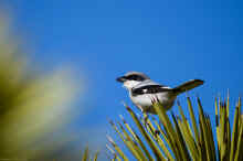
Desert Queen Mine Road, Joshua
Tree National Park; Jamie's photos: Loggerhead Shrike
|
Desert Queen Mine Road, Joshua
Tree National Park
|
Indian
Canyons, Palm Springs: Part of the drive in(!)
|
Indian
Canyons, Palm Springs: Murray Canyon
|
|

|

|


|

|
|
Indian
Canyons, Palm Springs: Murray Canyon
|
Indian
Canyons, Palm Springs: Murray Canyon
|
Indian
Canyons, Palm Springs: Murray Canyon
|
Indian
Canyons, Palm Springs: Murray Canyon
|
|


|


|

|

|
|
Indian
Canyons, Palm Springs: Murray Canyon
|
Indian
Canyons, Palm Springs: Murray Canyon
|
Indian
Canyons, Palm Springs: Murray Canyon
|
Indian
Canyons, Palm Springs: Murray Canyon
|
|

|
|

|

|
|
Indian
Canyons, Palm Springs: Murray Canyon
|
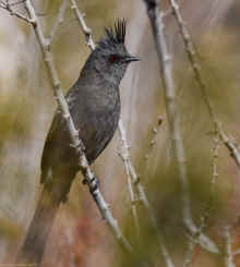
Indian
Canyons, Palm Springs: Murray Canyon: Jamie's
photo; a Phainopepla
|
Indian
Canyons, Palm Springs: Murray Canyon: Jamie's
photo
|
View looking north
from above San Gorgonio Pass
|
|


|


|


|


|
|
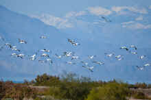
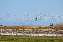
The
Salton Sea
|
The
Salton Sea
|
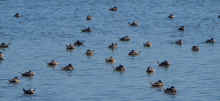
The
Salton Sea: Jamie's photos of birds
|
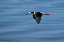
The
Salton Sea: Jamie's photos of birds:
Black-necked Stilts
|
|
|


|


|

|
|
The
Salton Sea: Jamie's photos of birds:
Black-necked Stilts
|
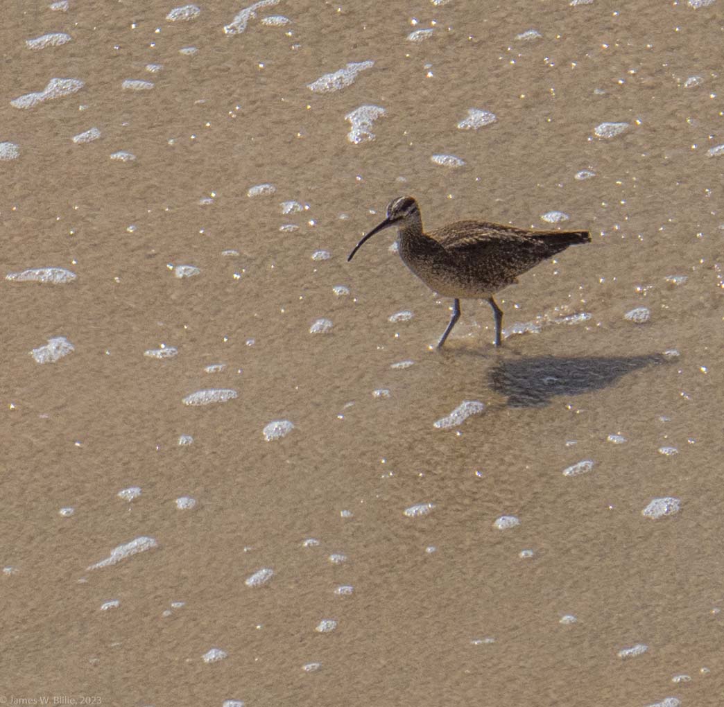
The
Salton Sea: Jamie's photos of birds: Pintails in
flight, Phoebe
|
The
Salton Sea: Jamie's photos
|
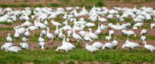
The
Salton Sea: Jamie's photos of Snow Geese
|
|

|


|

|


|
|
The
Salton Sea: Jamie's photos of Snow Geese
|
The
Salton Sea: Jamie's photos of Gambel's Quail, Black
Phoebe
|
Geothermal plant near
the The
Salton Sea
|
Approaching the
Mexican border at Calexico, California
|
|


|


|


|


|
|
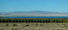
The area around the The
Salton Sea is well below sea level
|
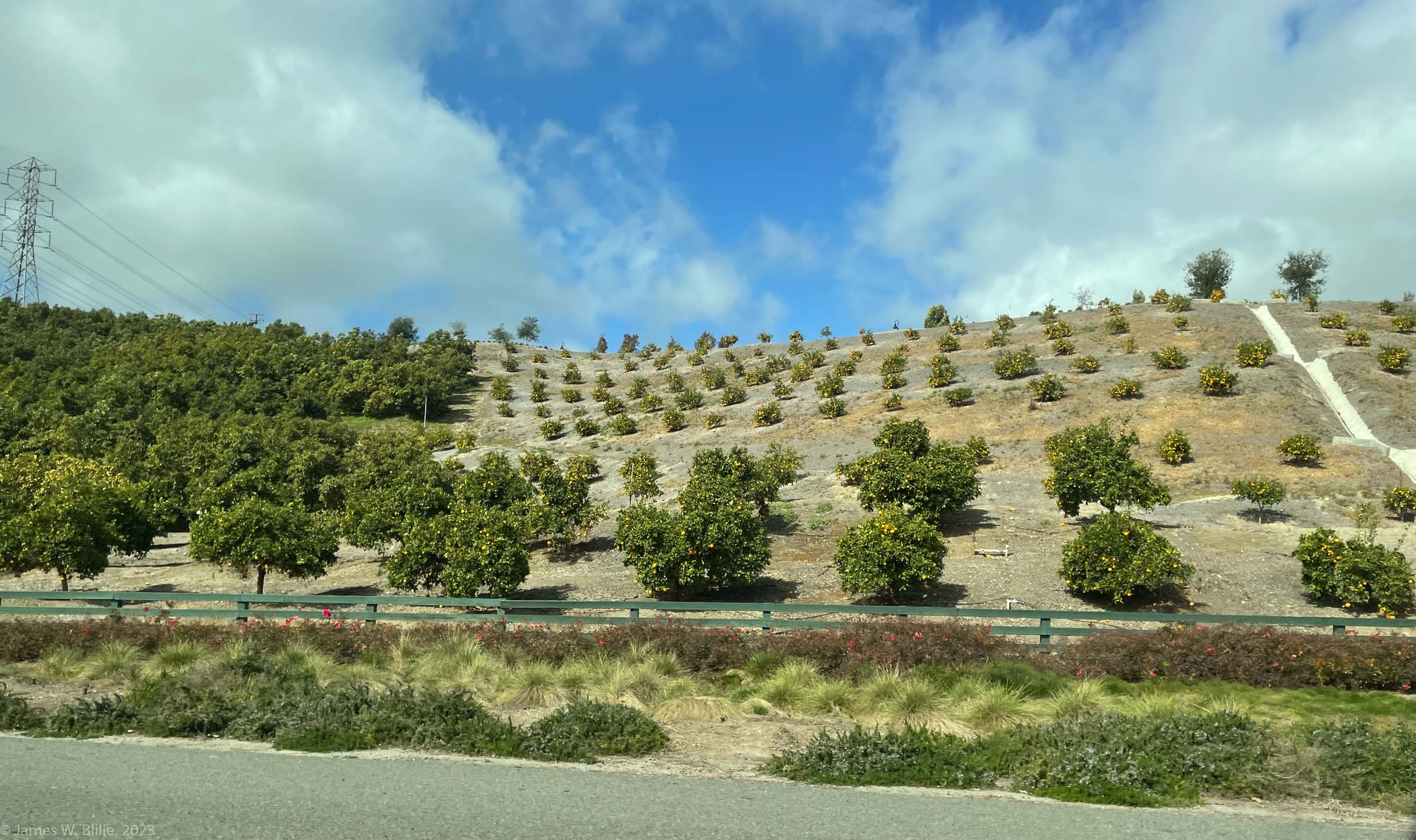
Massed date Palms in
the Imperial Valley
|
Tahquitz
Canyon
|
Tahquitz
Canyon
|
|


|


|

|


|
|
Tahquitz
Canyon
|
Tahquitz
Canyon
|
Tahquitz
Canyon
|
Tahquitz
Canyon Jamie's photos
|
|

|


|


|


|
|
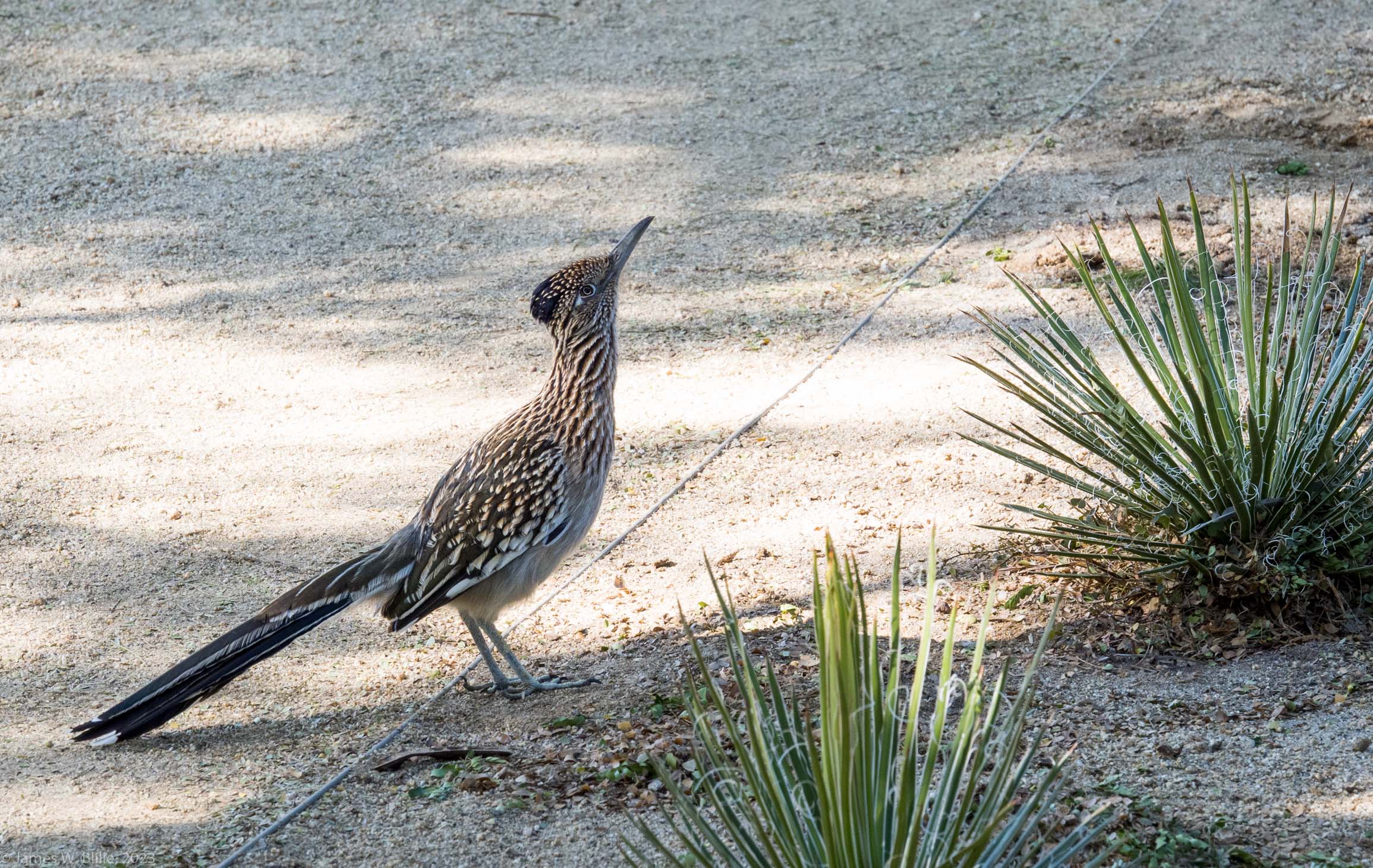
Sunnylands
Estate in Rancho Mirage, California
|
Sunnylands
Estate
|
Sunnylands
Estate, Jamie's photos of a Roadrunner
|
Sunnylands
Estate
|
|


|


|


|


|
|
Sunnylands
Estate: Mesquite
|
Sunnylands
Estate: Mesquite
|
Sunnylands
Estate
|
Sunnylands
Estate
|
|

|

|

|


|
|
Sunnylands
Estate
|
Sunnylands
Estate
|
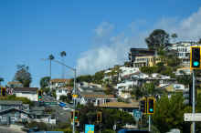
Driving to Seal
Beach, California
|
Driving to Seal
Beach, California
|
|


|

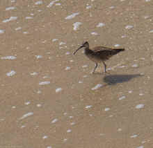
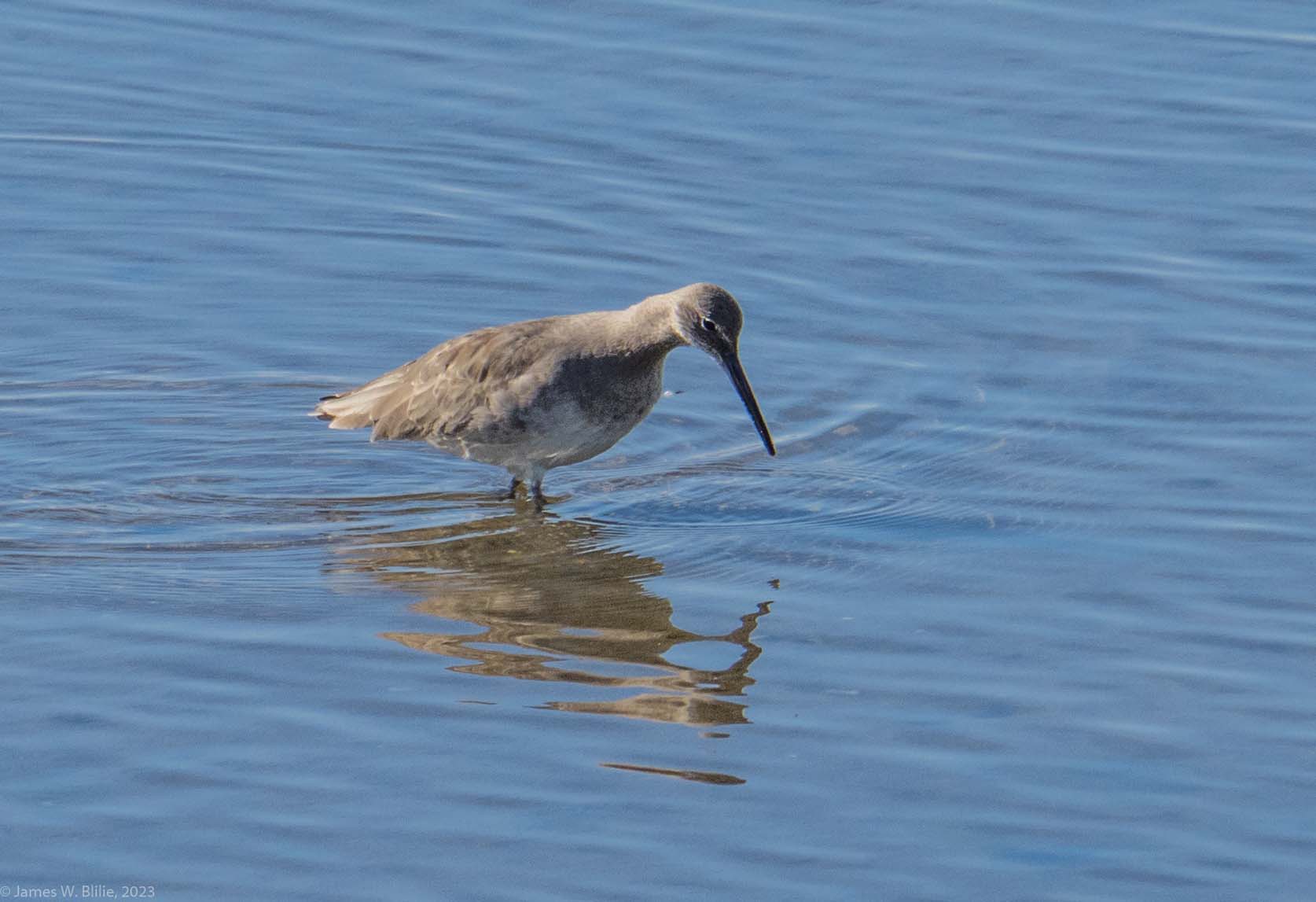
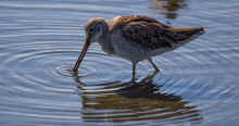
Wimbrell

Willet
|


|


American
Avocet
|
|
Driving to Seal
Beach, California
|
Driving to Seal
Beach, California
|
Bolsa
Chica Ecological Reserve, Seal Beach California
|
Bolsa
Chica Ecological Reserve
|
|


|


|


|


|
|
Bolsa
Chica Ecological Reserve: Jamie's photos
|
Bolsa
Chica Ecological Reserve: Jamie's photos
|
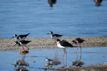
Bolsa
Chica Ecological Reserve: Jamie's photos: American
Avocet, Wimbrell
|
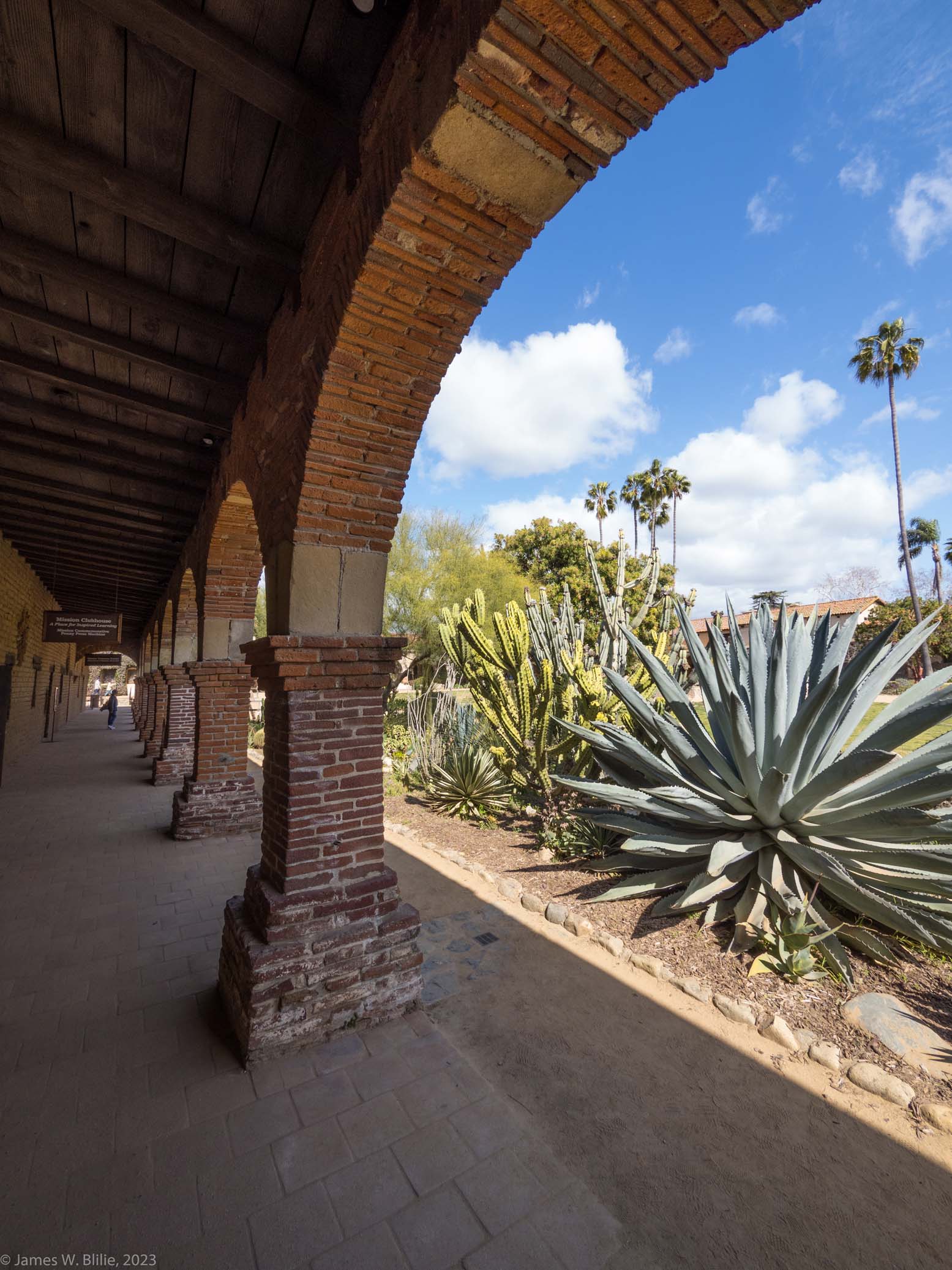
Lunch: San Juan
Capistrano
|
|

|


|

|

|
|
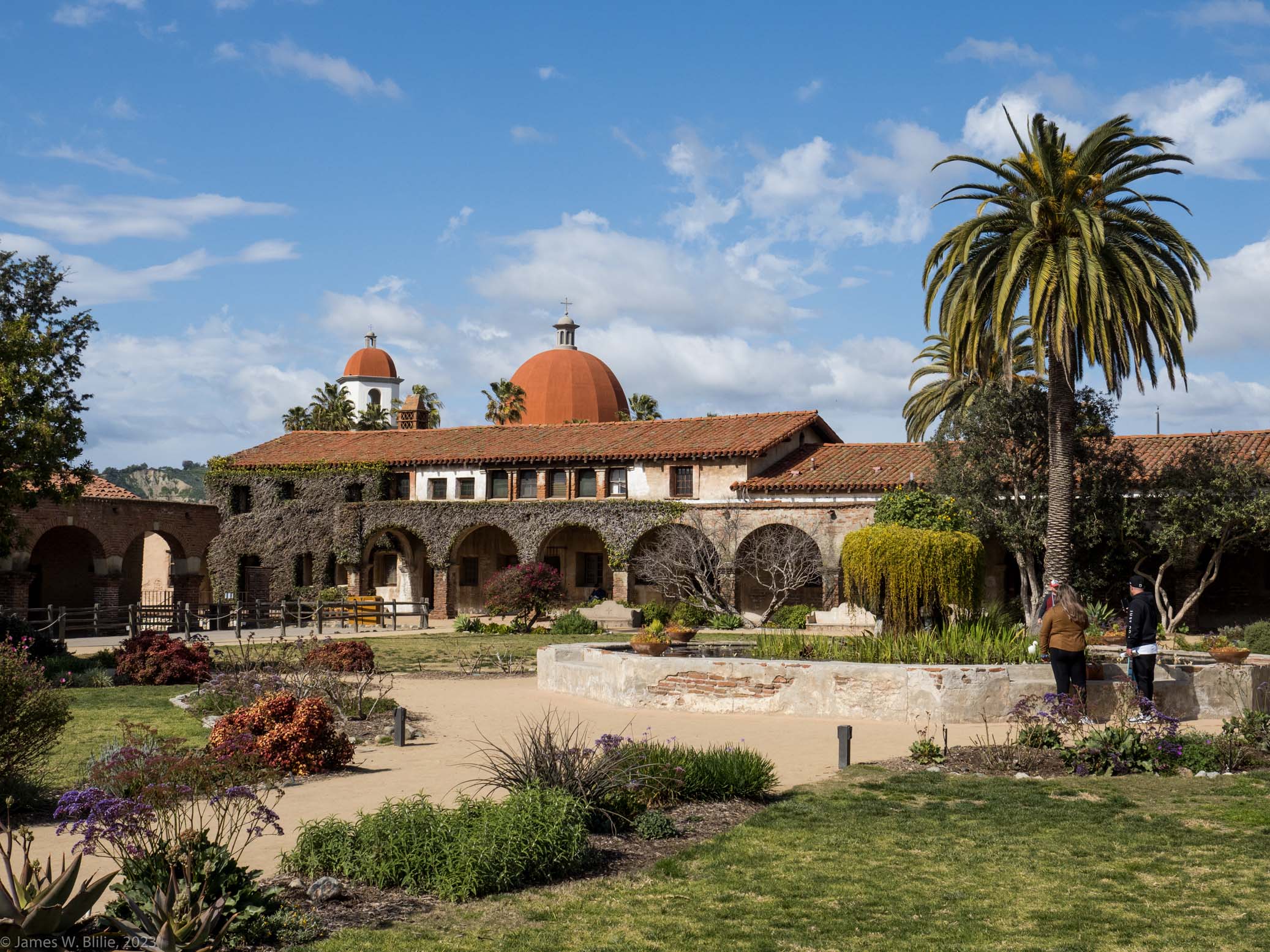
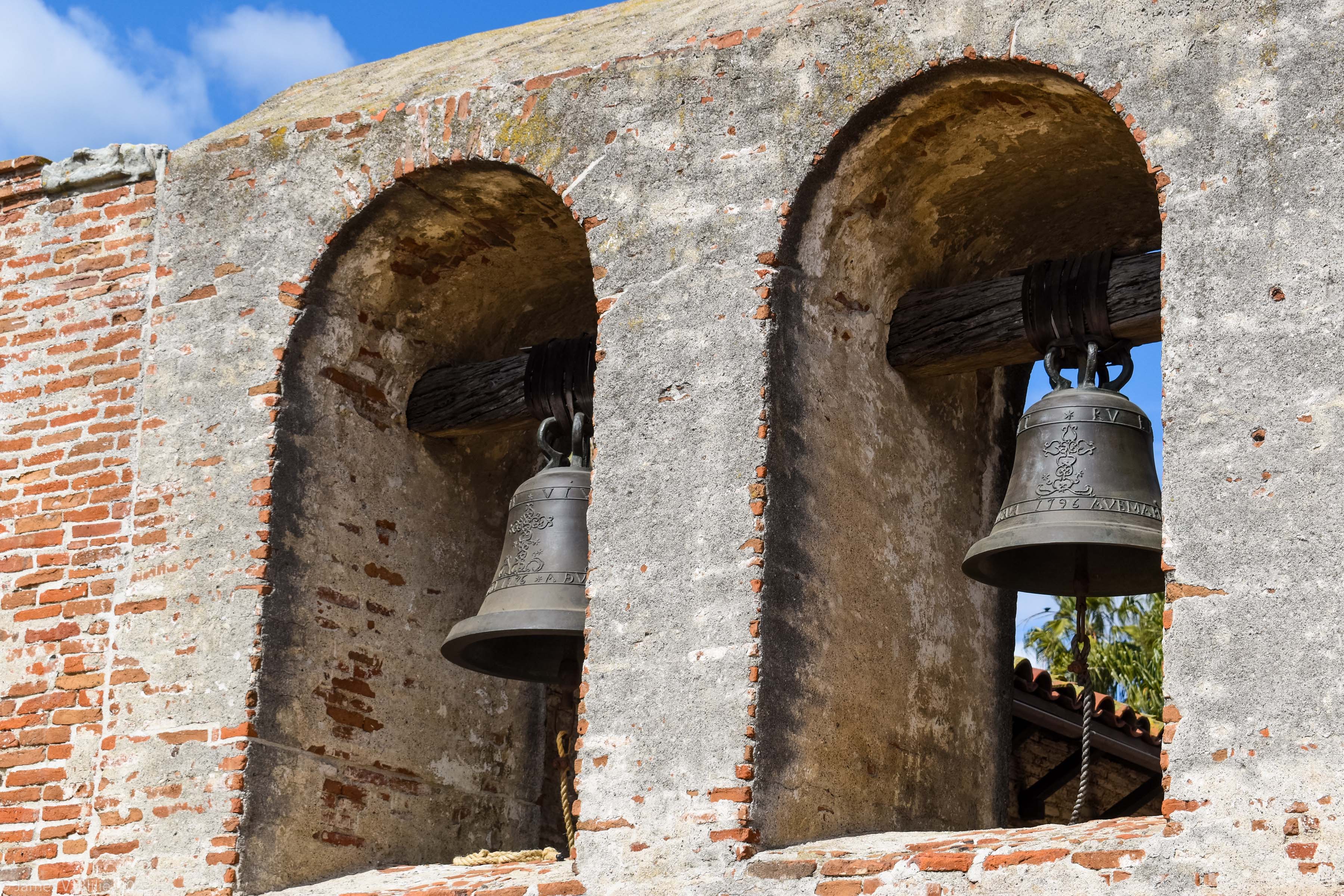
Mission
San Juan Capistrano
|
Mission
San Juan Capistrano
|
Mission
San Juan Capistrano
|
Mission
San Juan Capistrano
|
|


|

|

|

|
|
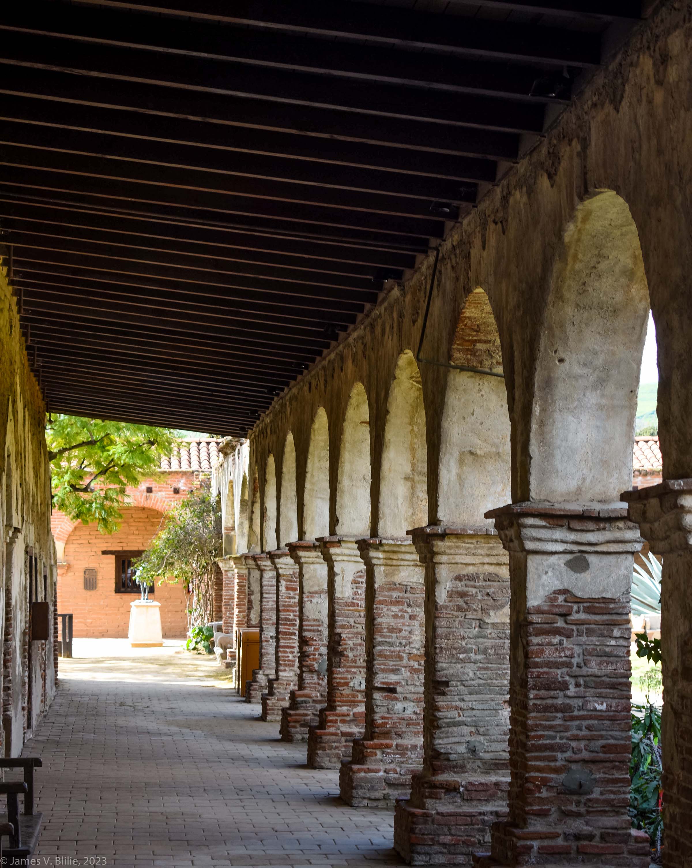
Mission
San Juan Capistrano
|
Mission
San Juan Capistrano
|
Mission
San Juan Capistrano
|
Mission
San Juan Capistrano
|
|


|


|


|

|
|
Mission
San Juan Capistrano
|
Mission
San Juan Capistrano
|
Mission
San Juan Capistrano
|
Mission
San Juan Capistrano
|
|

|


|

|


|
|
Mission
San Juan Capistrano
|
Mission
San Juan Capistrano
|
Mission
San Juan Capistrano
|
Mission
San Juan Capistrano
Jamie's photos
|
|

|

|


|


|
|
Mission
San Juan Capistrano
Jamie's photos
|
Mission
San Juan Capistrano
Jamie's photos
|
Seal Beach hotel room
|
Escape from LA
|
|


|

|


|

|
|
Escape from LA
|
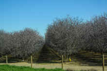
Running up the Central
Valley on I-5: Jamie's photos of almonds in bloom
|
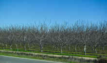
Central
Valley
|
Central
Valley
|
|

|
|

|

|
|
Up the 5 out of
California. Jamie's photos.
|
Up the 5 out of
California: Last exit in California. Jamie's photos.
|
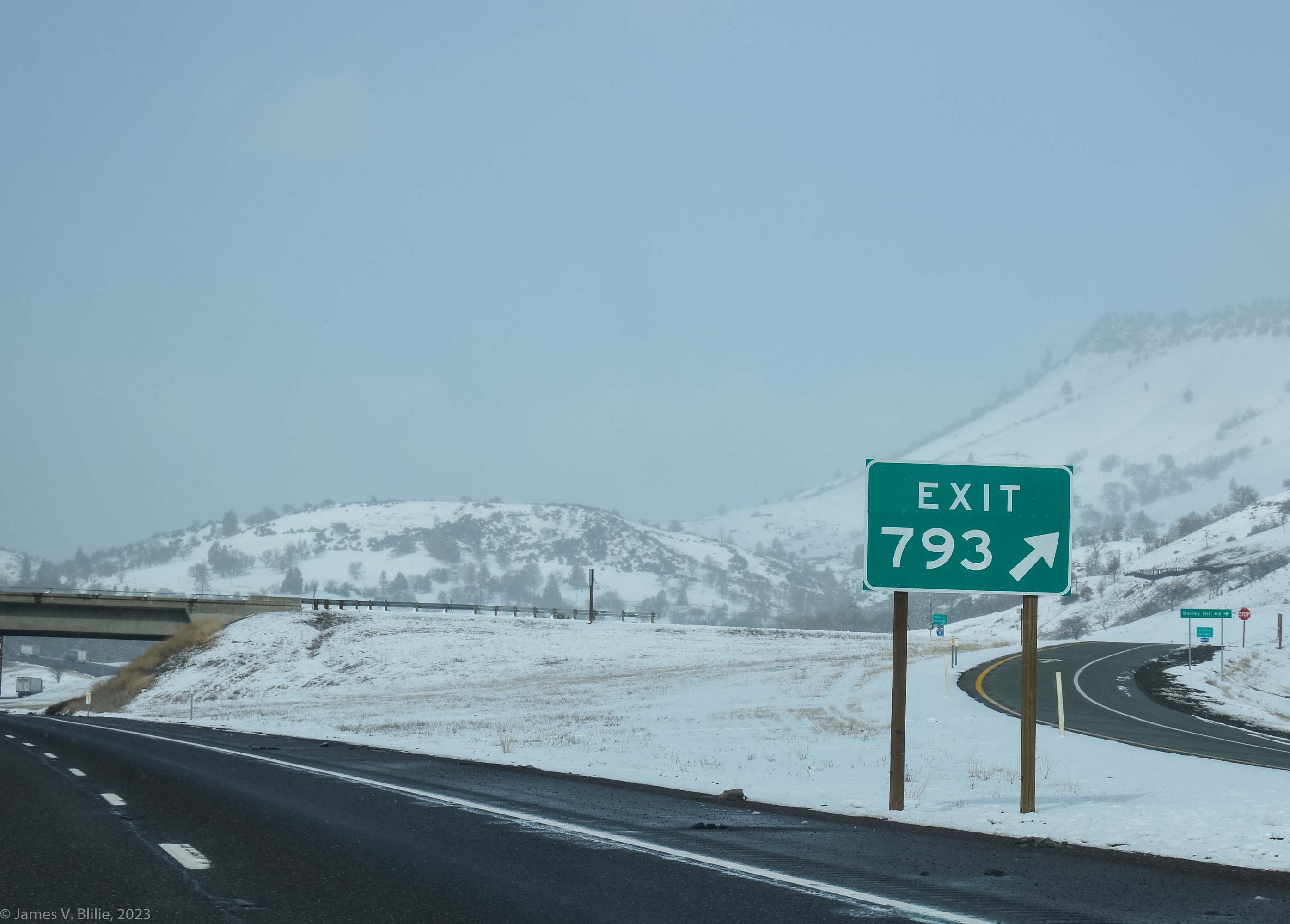
Medford Oregon.
Jamie's photos.
|
Oregon. Jamie's
photos.
|

|

|


|

|
|
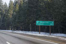
Medford, Oregon
|
The Gorge.
Jamie's photos.
|
Home again, home
again, jiggety jig
|
Home again, home
again, jiggety jig. Jamie's photos
|