Gallery of Jim Blilie's Photos:
Ptarmigan Traverse, August 1986
All images are copyright © James W. Blilie, 1986 through 2009, All rights reserved
If you prefer a slide show, Click HERE
For the slide show: Click on the first picture on the black photo
album
page and then click the "play" ![]() button at the upper right
button at the upper right
of the view panel to start the slide show. Enjoy.
I did the Ptarmigan Traverse (or link) in Aug-1986 with a group from Boealps: Jerry Baillie, Tim Backman, Mark Morissey,
John Shipway, Al Baal, and Mike Bingle. We went north to south and climbed many peaks. I climbed 7 (Tim
had the bag max: he climbed 8): Magic Mountain, Hurry-Up Peak, Art's Knoll, Le Conte Mountain, Sentinel Peak,
Spire Point, and Dome Peak
Me: Summit of Dome Peak, Aug-1986

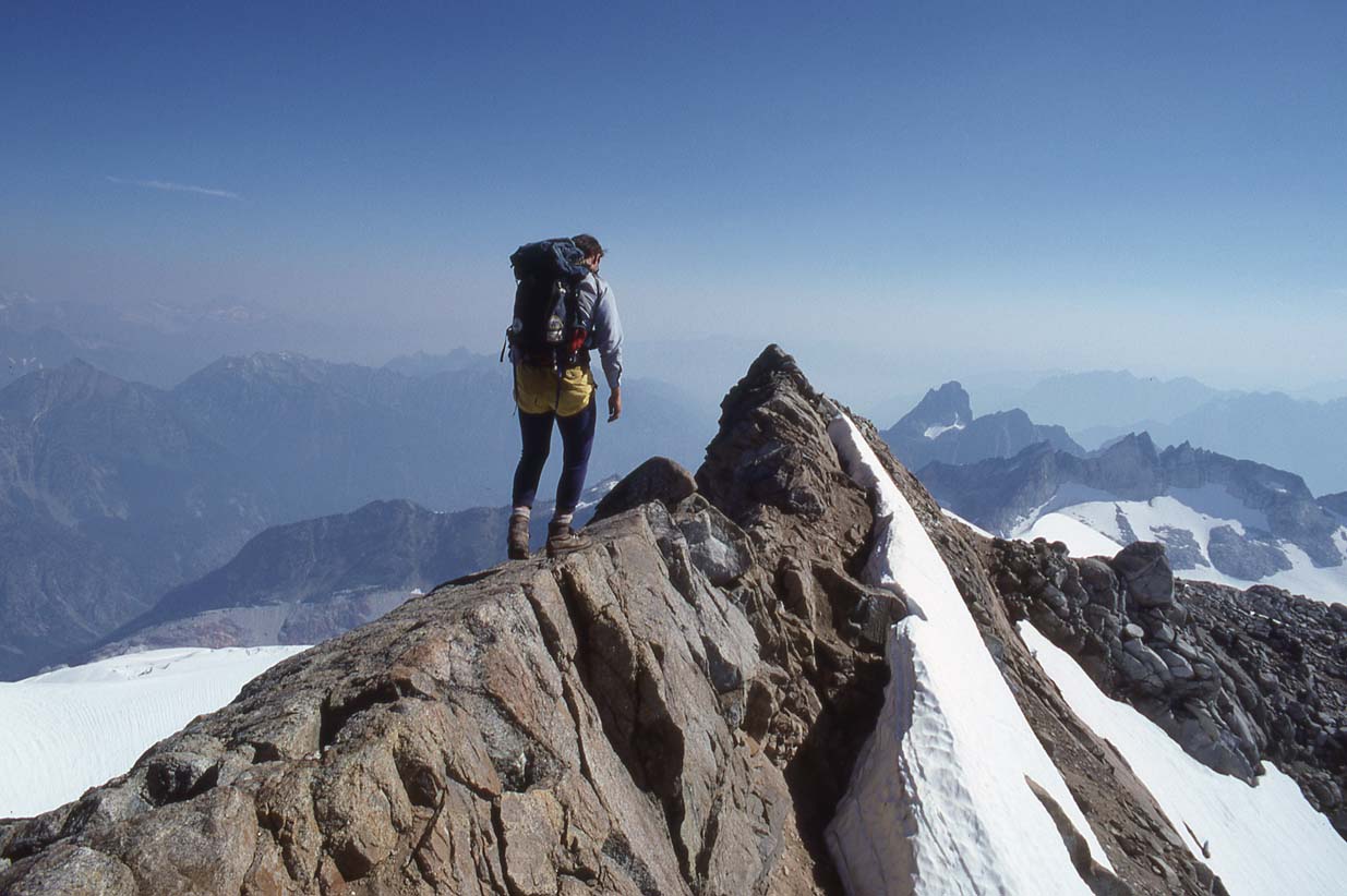
Me on top of Sentinel Peak, Aug-1986

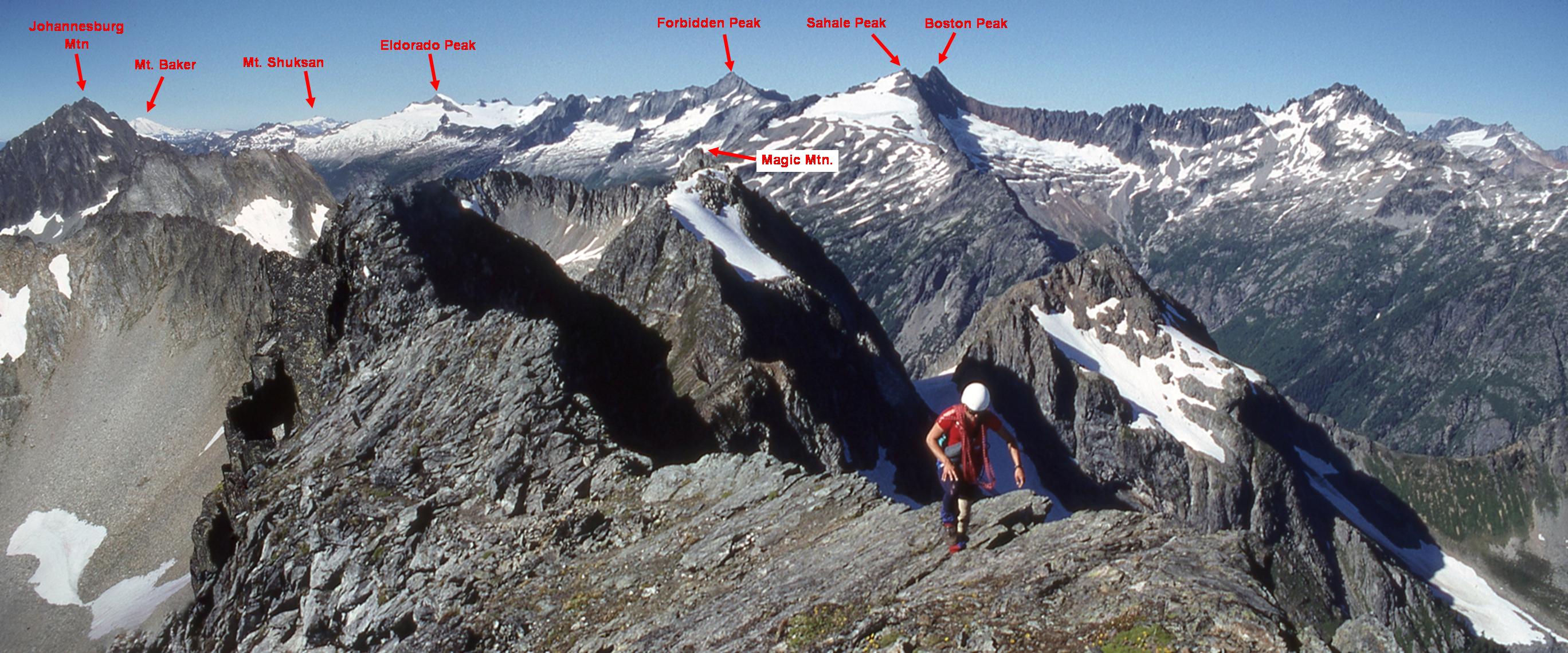
Panorama of from the north end of the traverse, looking north (these are stitched from my photos, so they may not be
accurate, except for the peaks themselves):
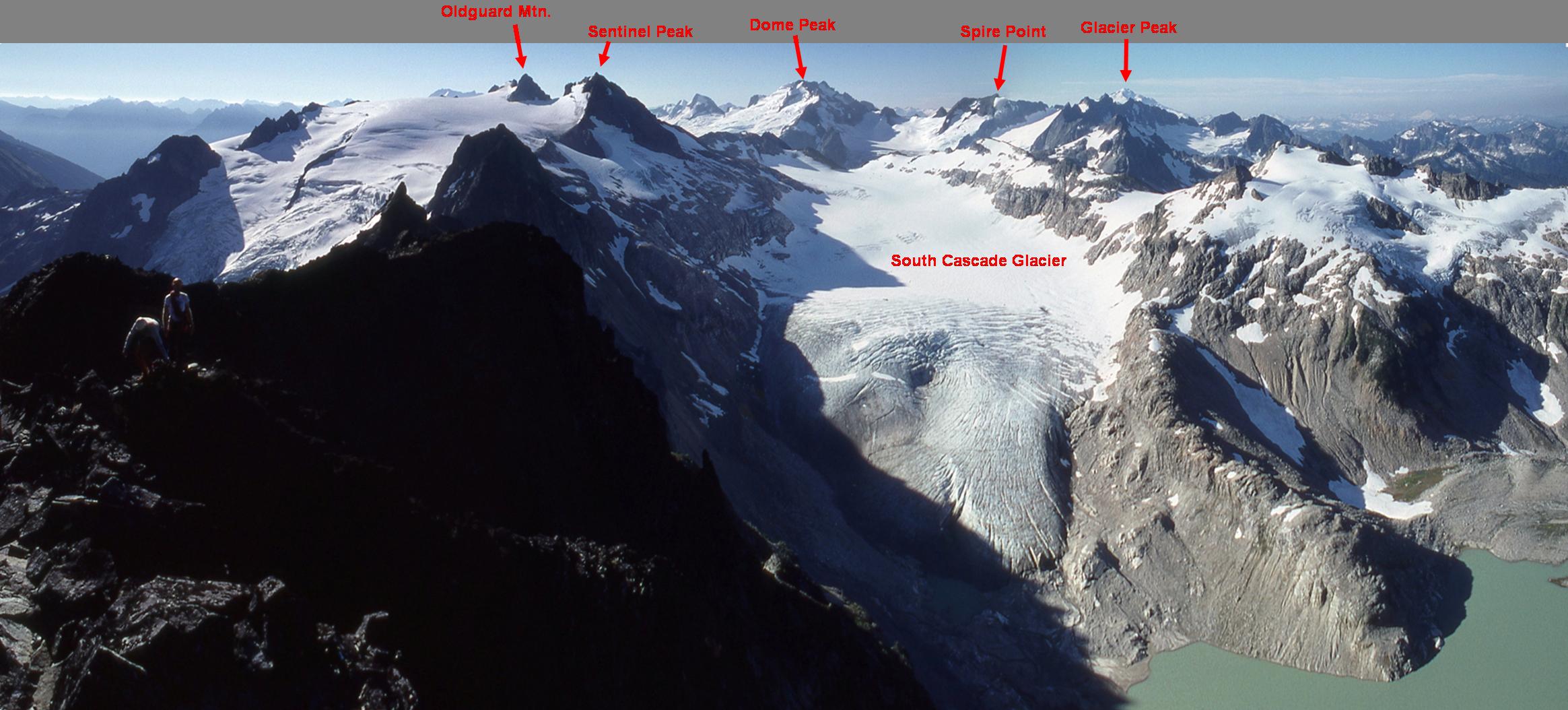
Panorama from LeConte Peak, looking south (south end of the traverse):
|
|
|
|
|
|
|
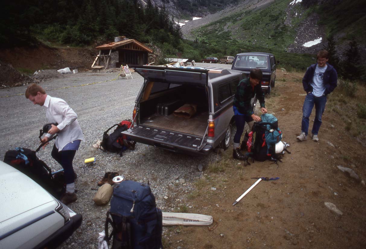
At the trailhead to Cascade Pass |
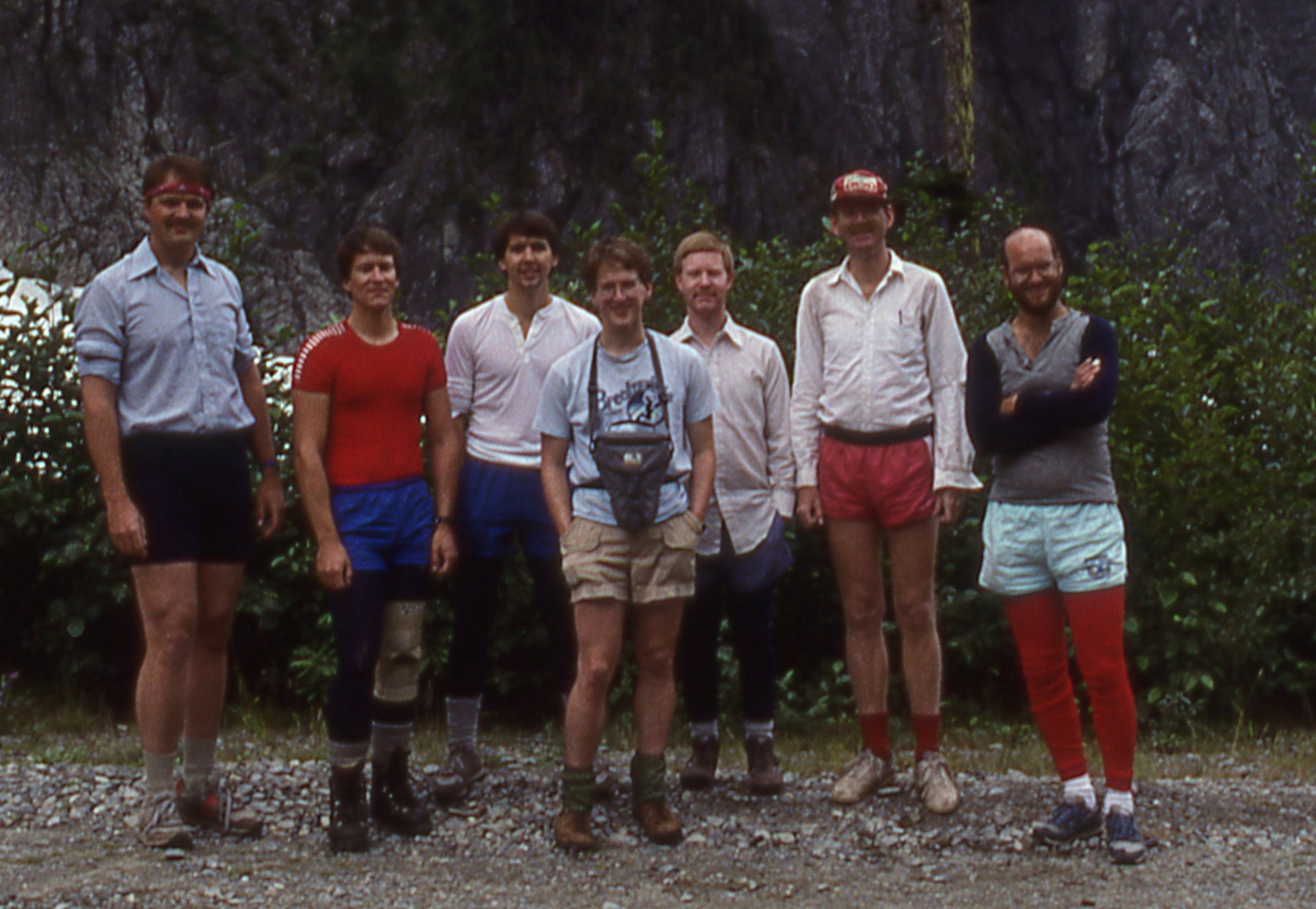
The team: L ro R: Me, Tim Backman, John Shipway, Mike Bingle, Mark Morissey, Jerry Baillie, and Al Baal |
Trail to Cascade Pass |
Cascade Pass, cold and damp. Little did we know this was almost the end of the clouds for the next 9 days. |
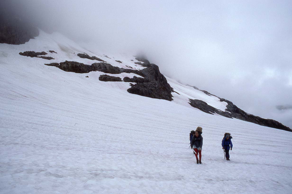
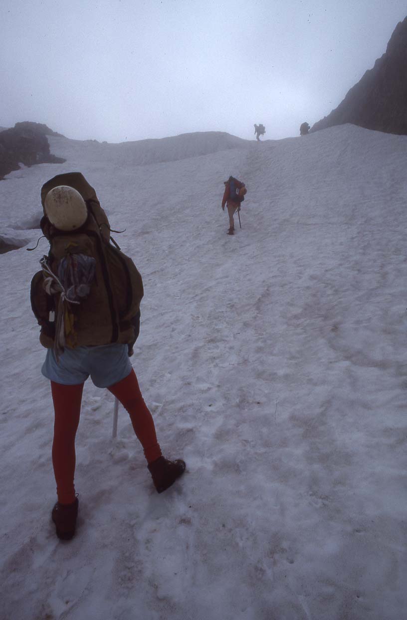
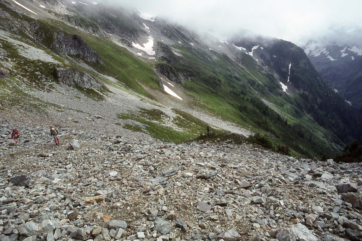
Climbing from Cascade Pass to Cache Col |
|
|
|
|
|
|
|
Up to Cache Col (lit notch at center, background) |
Cache Col |
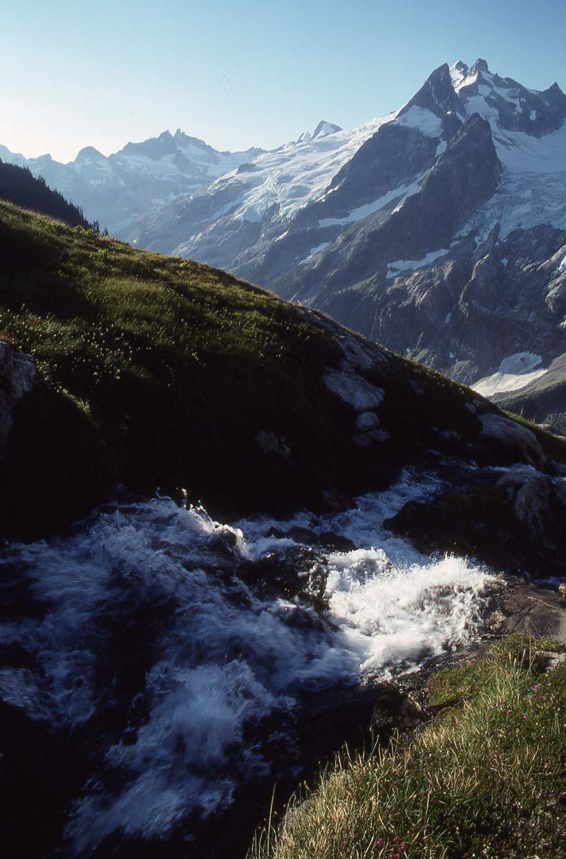
Descending from Cache Col to Kool Aid Lake (background, center) |
Crossing to Kool Aid Lake |
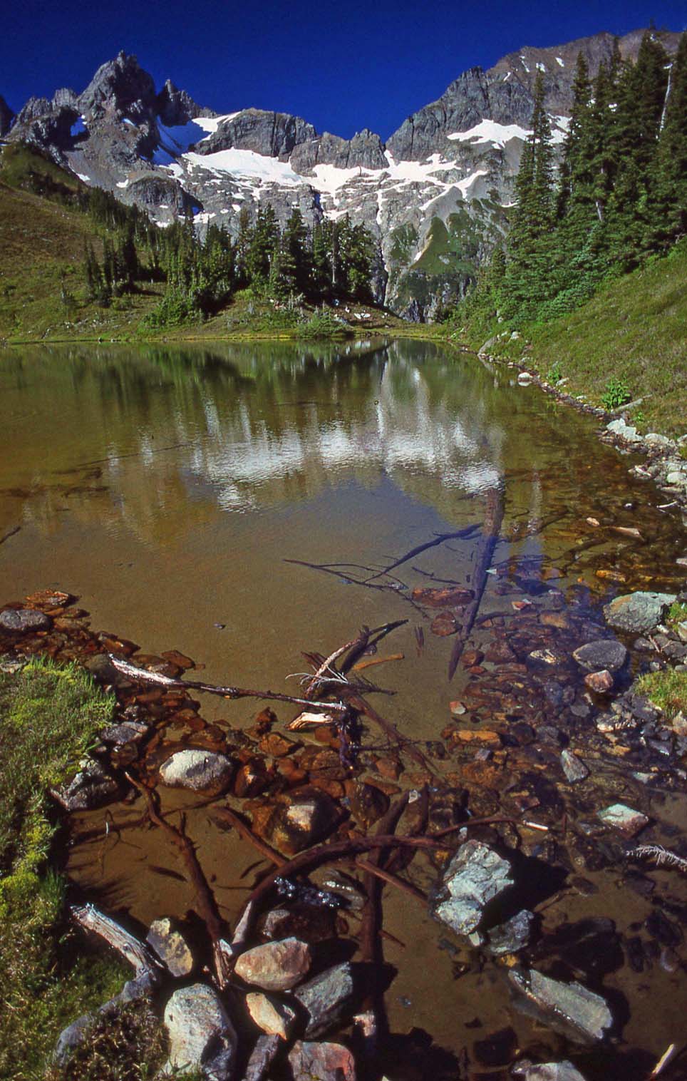
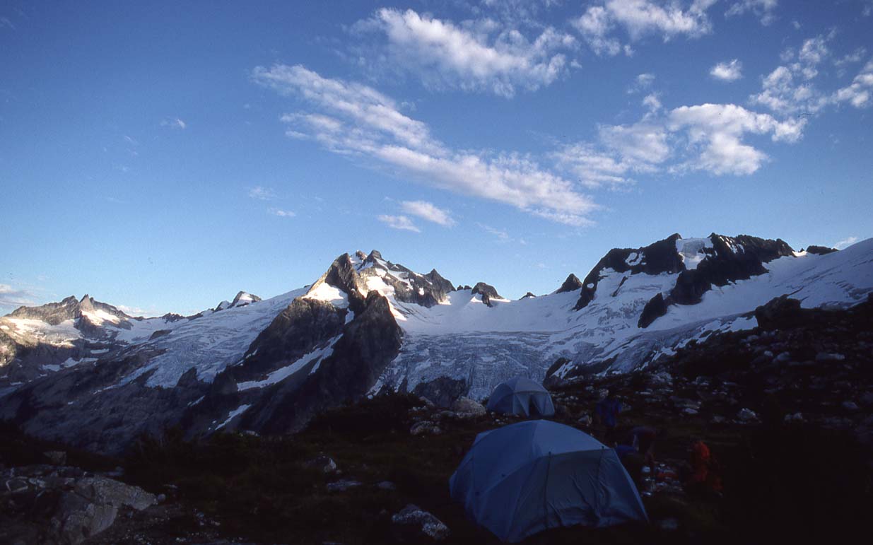
Kool Aid Lake Camp; and the last of the clouds! End of Stage 1 |
|
|
|
|
|
|
|
Johannesburg Mtn at Sunset |
Mt Formidable Moonrise |
Climbing Magic Mtn |
Top of Magic Mtn, Sahale, Forbidden and Eldorado in background (R to L) |
Me on top of Magic Mtn |
|
|
|
|
|
|
|
Descending Magic Mtn |
Looking back at the summit of Magic Mtn |
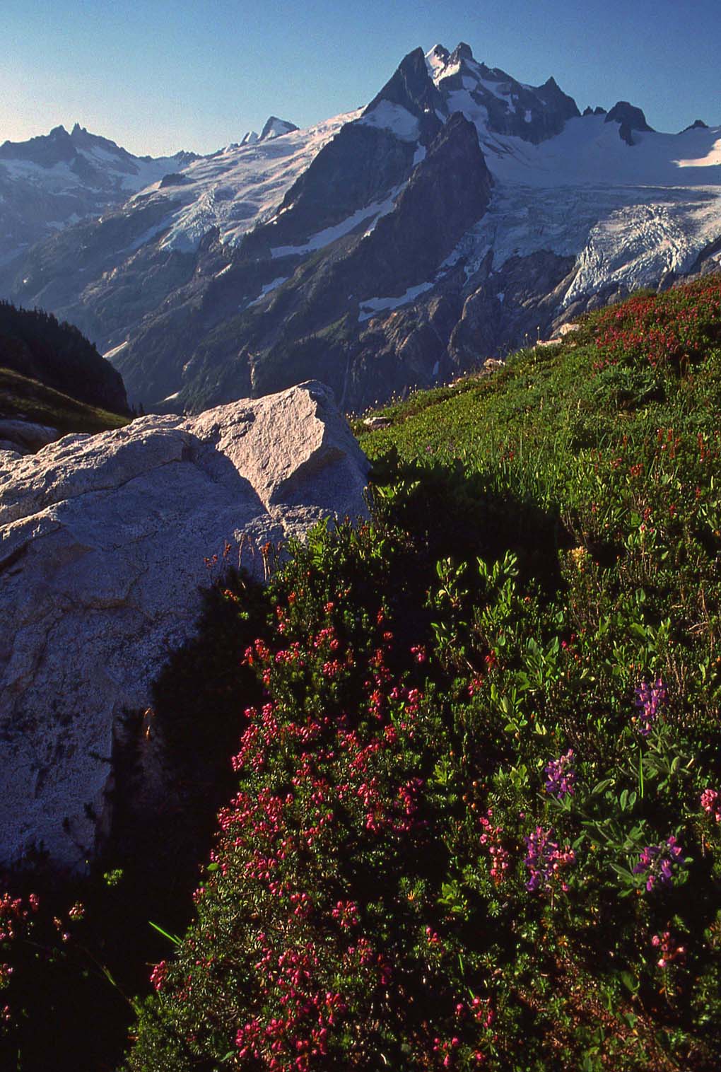
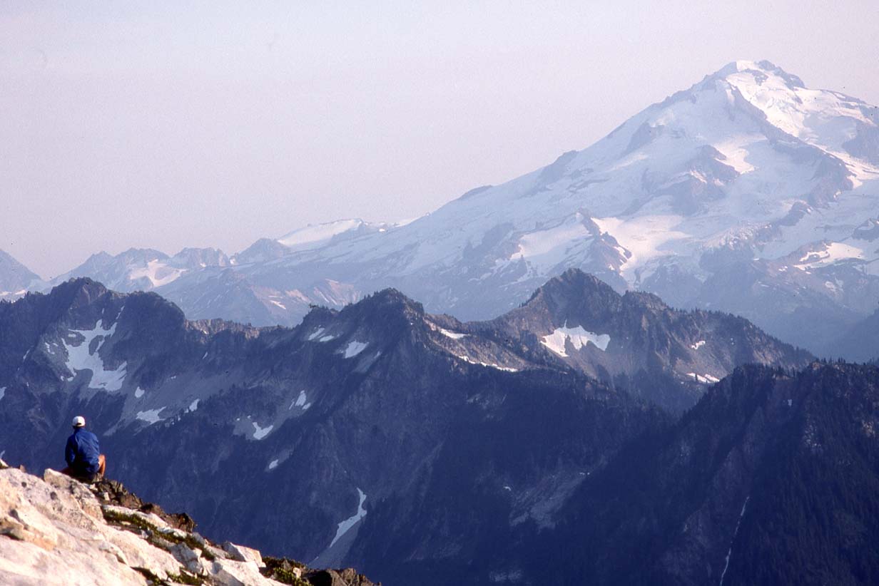
Kool Aid Lake, Art's Knoll and Formidable behind |
Top of Art's Knoll, looking south to Formidable and Spider |
Tim coming to the summit of Art's Knoll |
|
|
|
|
|
|
|
Tim, Summit of Art's Knoll |
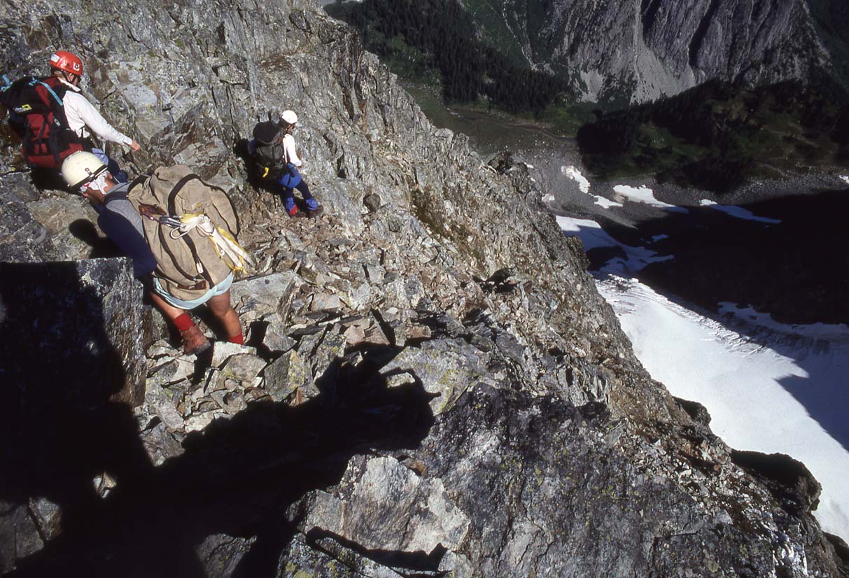
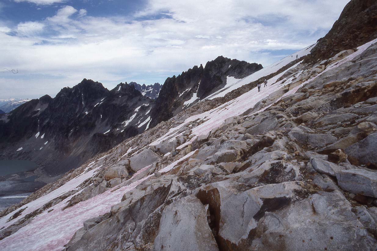
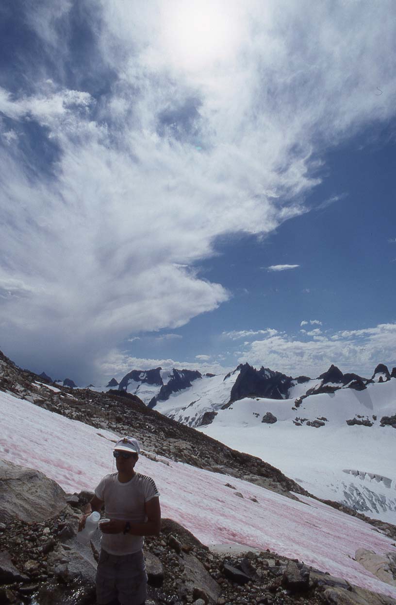
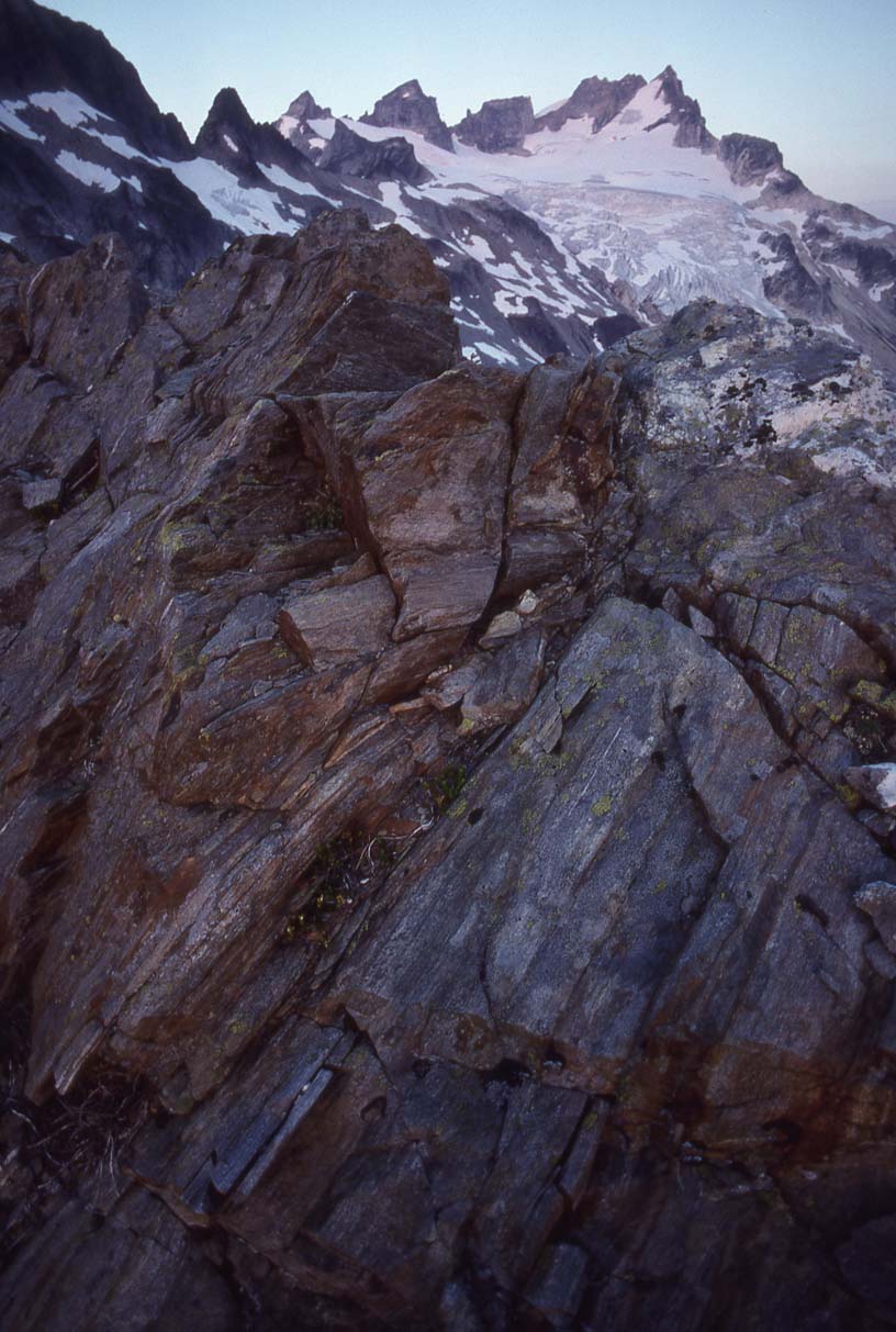
Crossing the infamous Red Ledge - probably the worst bit of the entire traverse |
Clear going beyond the Red Ledge |
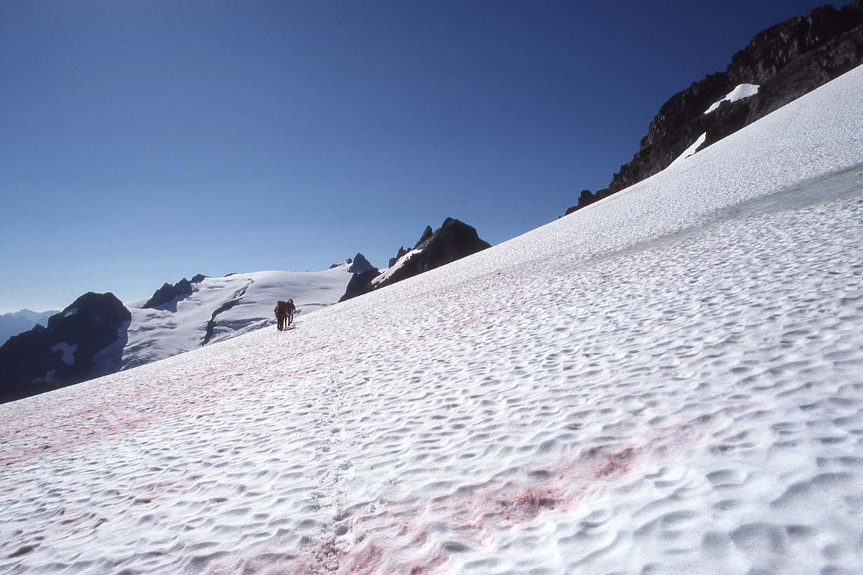
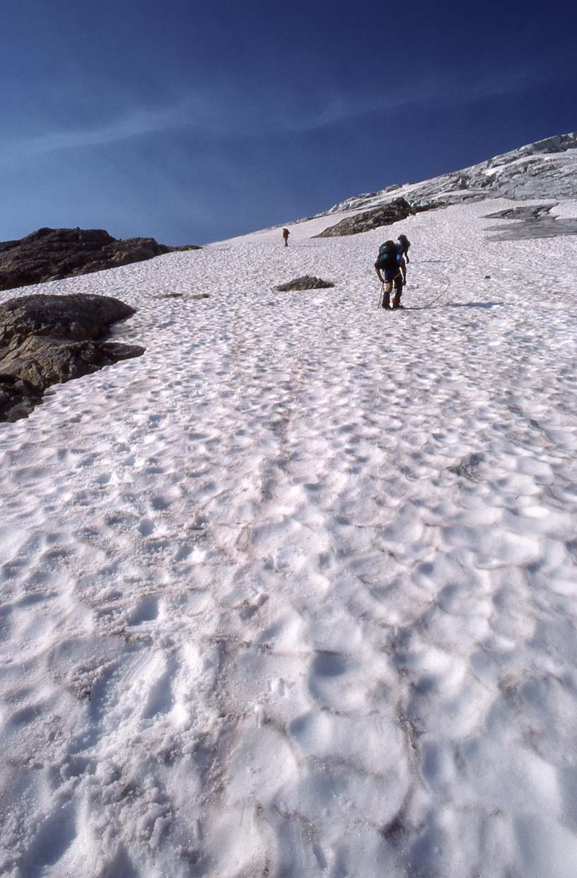
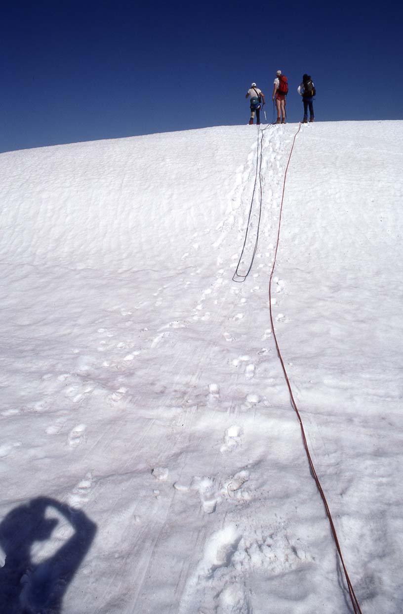
Ascending the Middle Cascade Glacier to Spider Col |
Ascending the Middle Cascade Glacier to Spider Col |
|
|
 |
|
|
|
|
Spider Col |
Descending to Yang Yang Lakes | Descending to Yang Yang Lakes |
Yang Yang Lakes Camp (end of Stage 2) |
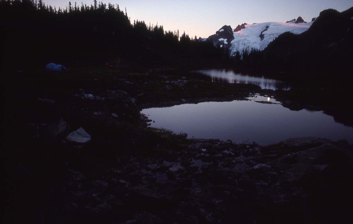
Sunset/Moonrise at Yang Yang Lakes |
|
|
|
|
|
|
|
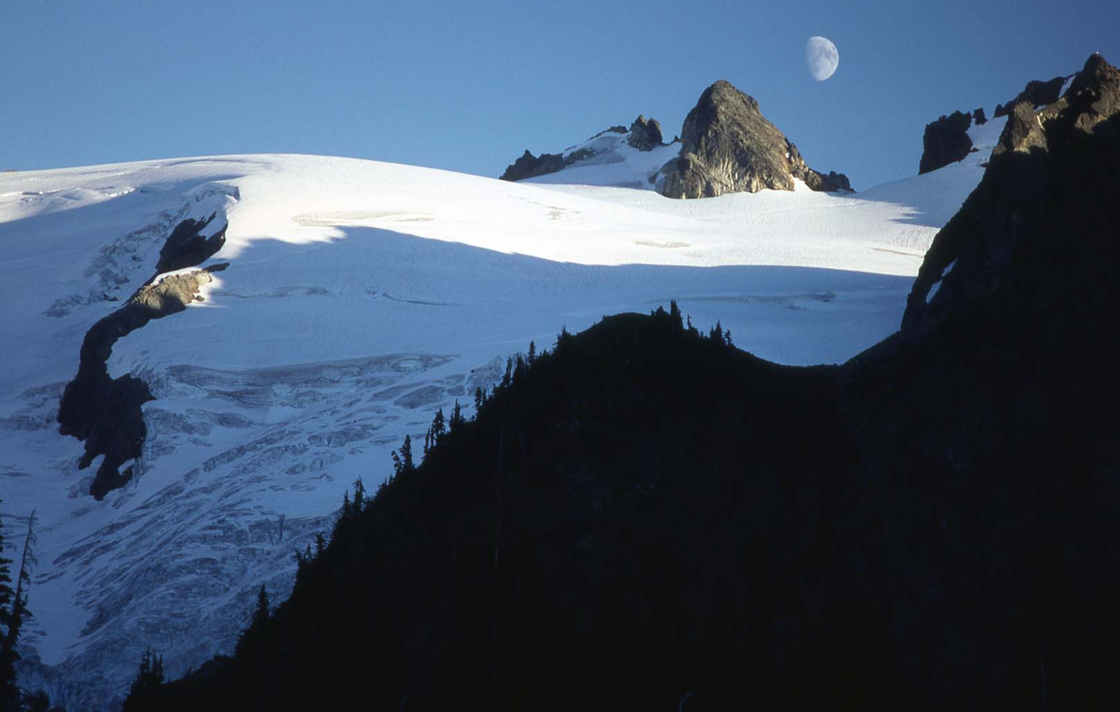
Moonrise between Old Guard Mtn and Sentinel Peak over the LeConte Glacier |
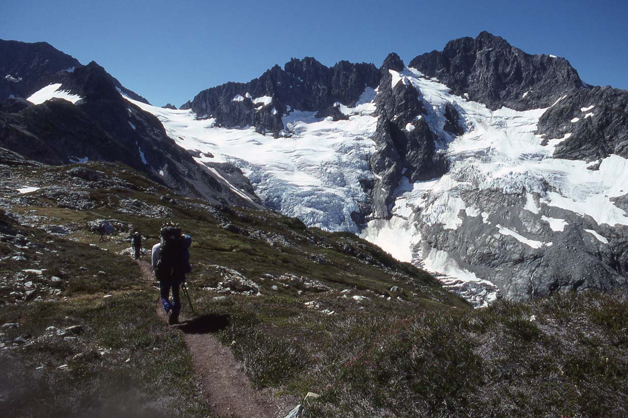
Climbing to LeConte Mtn (at right background) |
Top of LeConte Mtn |
Me, Top of LeConte Mtn |
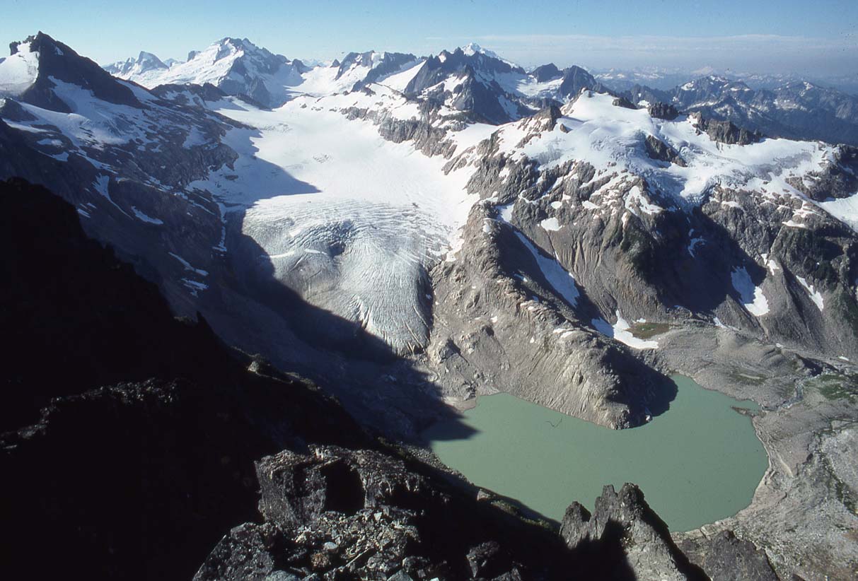
South Cascade Glacier from the top of LeConte |
|
|
|
|
|
|
|
LeConte Glacier to the Sentinel/Old Guard notch |
Below Sentinel Peak |
Below Sentinel Peak |
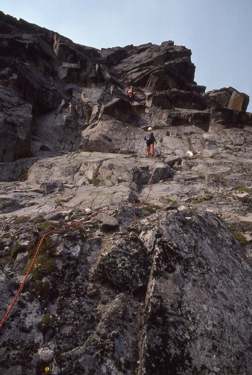
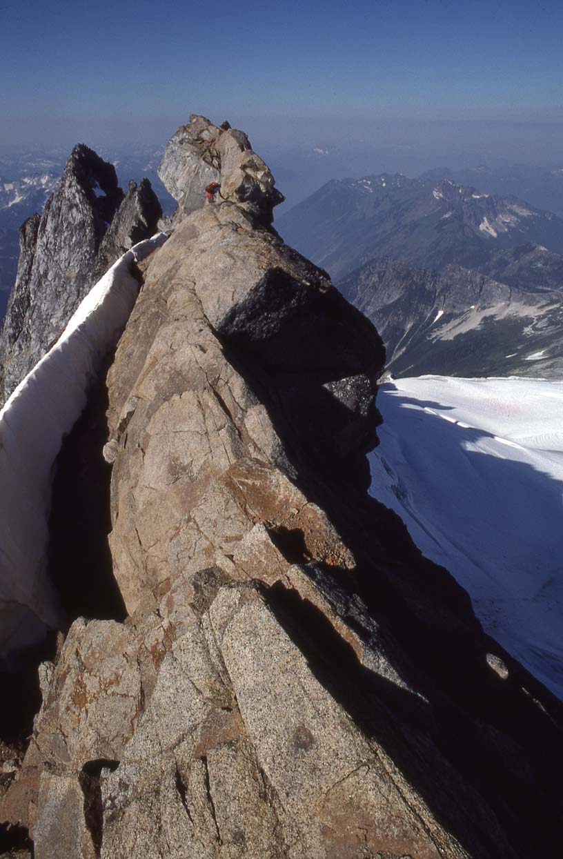
Rock pitch on Sentinel Peak |
Me, top of Sentinel Peak |
|
|
|
|
|
|
|
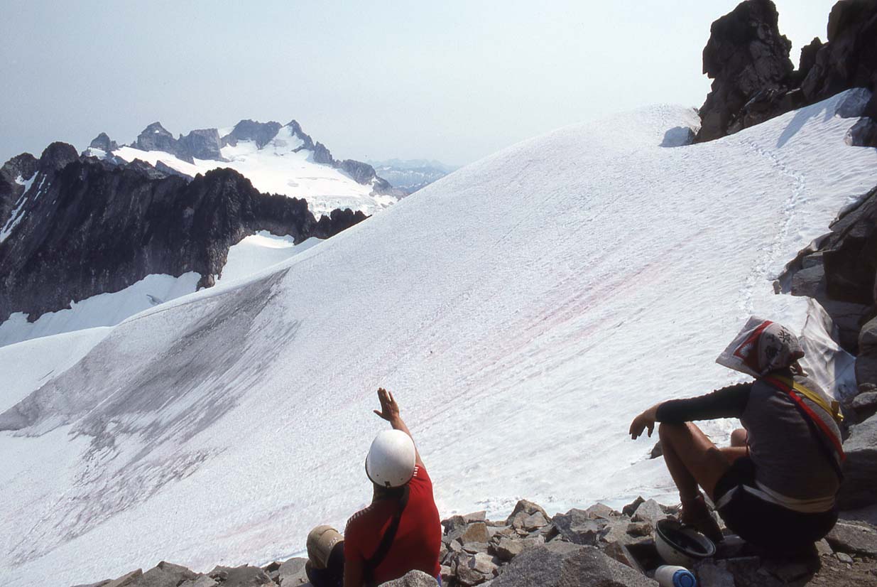
White Rock Lakes camp, end of Stage 3 |
White Rock Lakes |
Dana Glacier |
Dome Peak from White Rock Lakes |
Me at White Rock Lakes, Spire Point, Dana Glacier behind me |
|
|
|
|
|
|
|
White Rock Lakes |
Leaving White Rock Lakes |
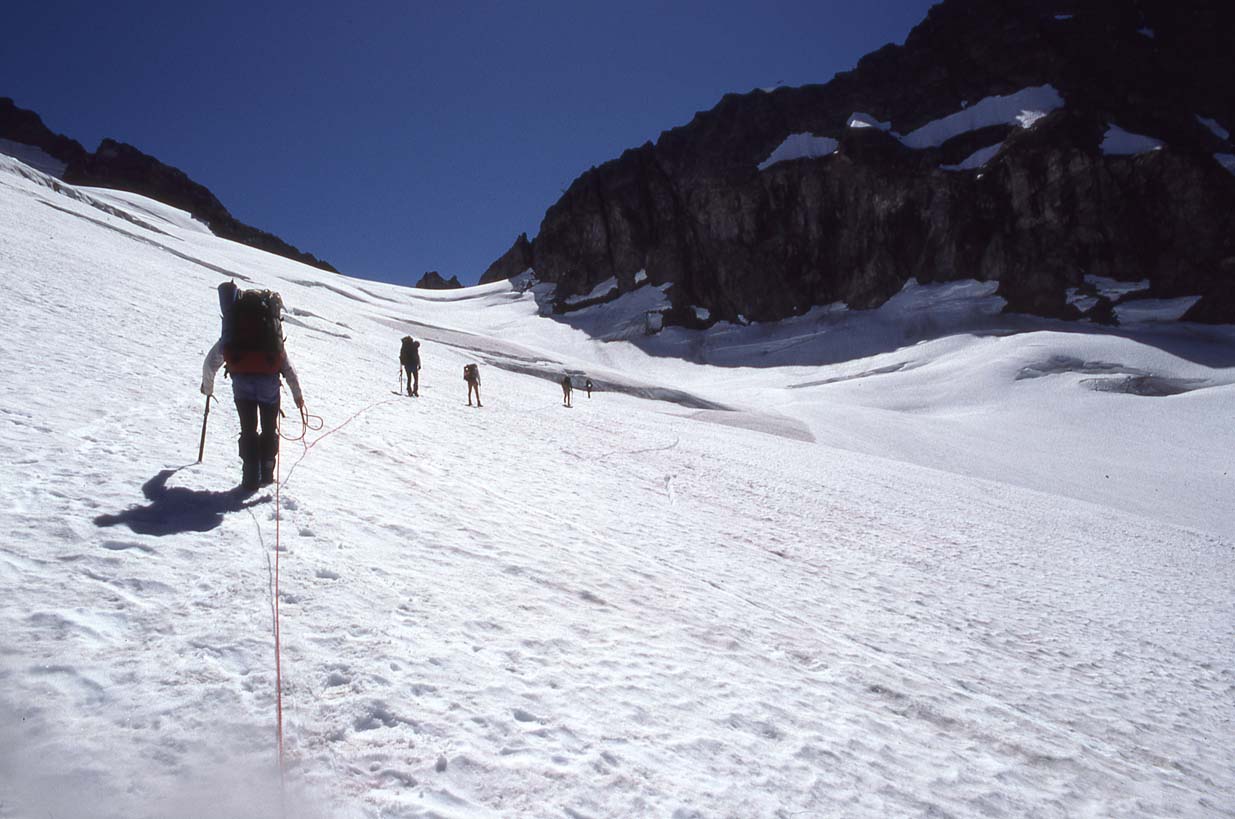
Crossing the Dana Glacier (we had excellent conditions) |
Climbing the 5th Class pitches on Spire Point |
Summit of Spire Point (me I think, on the summit -- there was only room for one at a time!) |
|
|
|
|
|
|
|
Below the rock on Spire Point, our next-to-last summit |
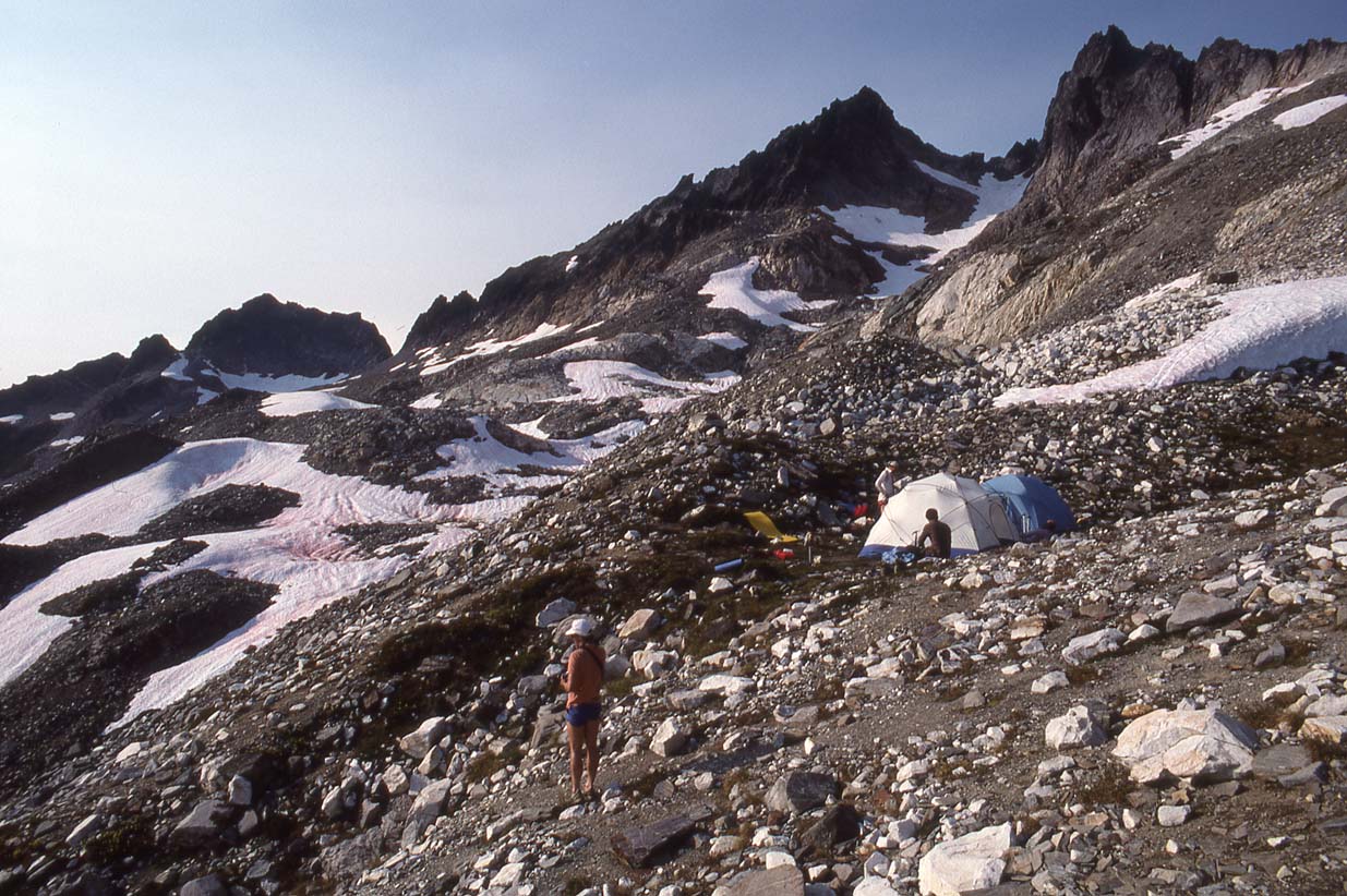
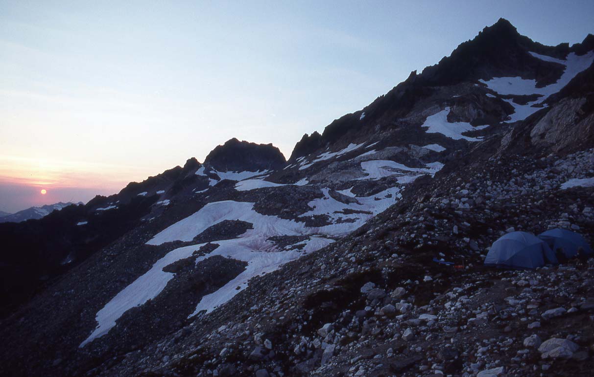
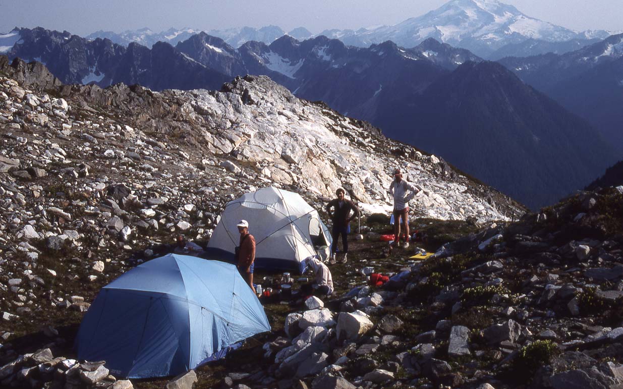
Camp under Dome Peak and Spire Point: End of Stage 4 |
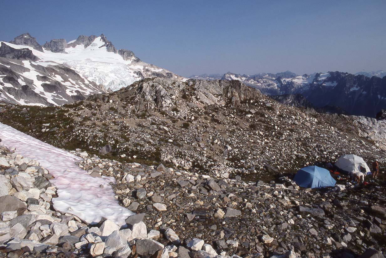
Camp, with Dome Peak behind, our last summit of the trip |
Glacier Peak from Camp |
Dome Peak at sunset |
|
|
|
|

|
|
|
Sunset under Dome Peak |
Sunset under Dome Peak |
Dome Peak, early morning, day of the climb |
Ascending to the Dome Peak summit ridge |
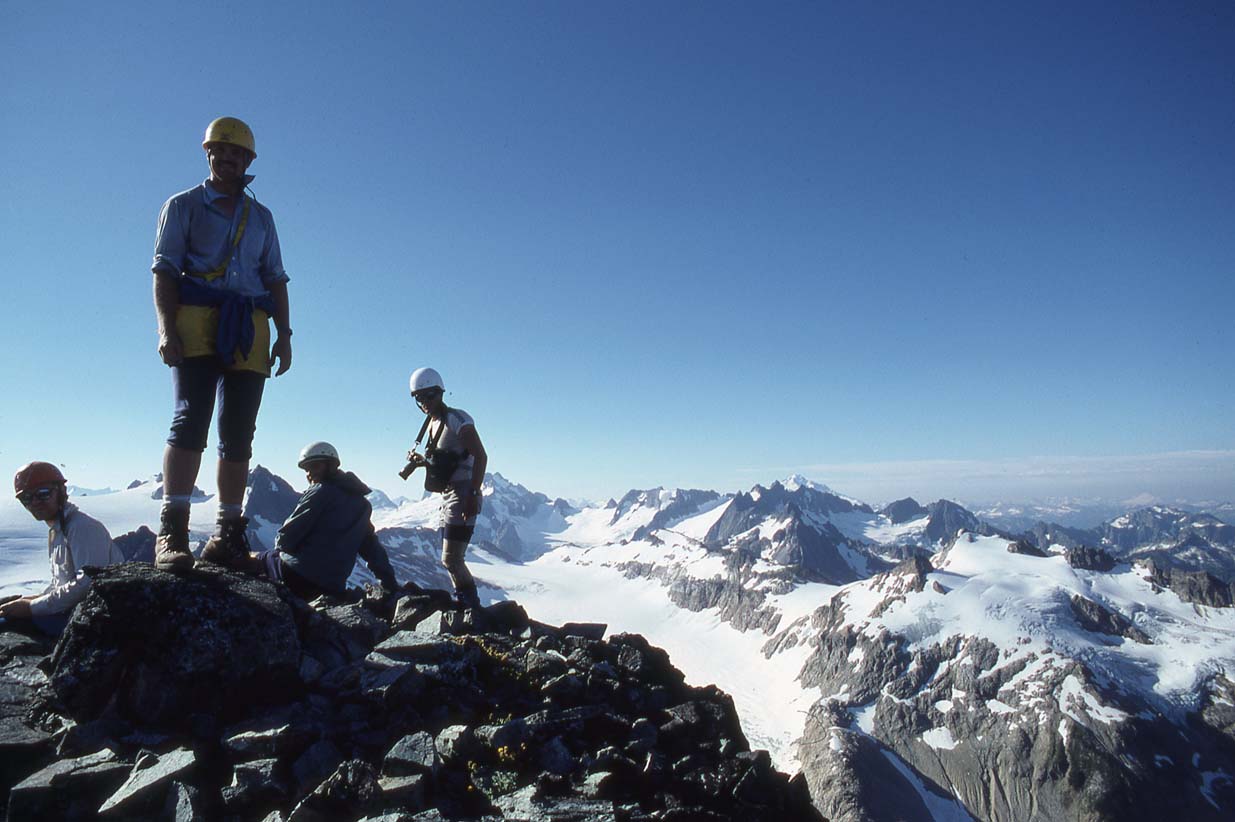
Dome Peak summit ridge |
|
|
 |
|
|
|
|
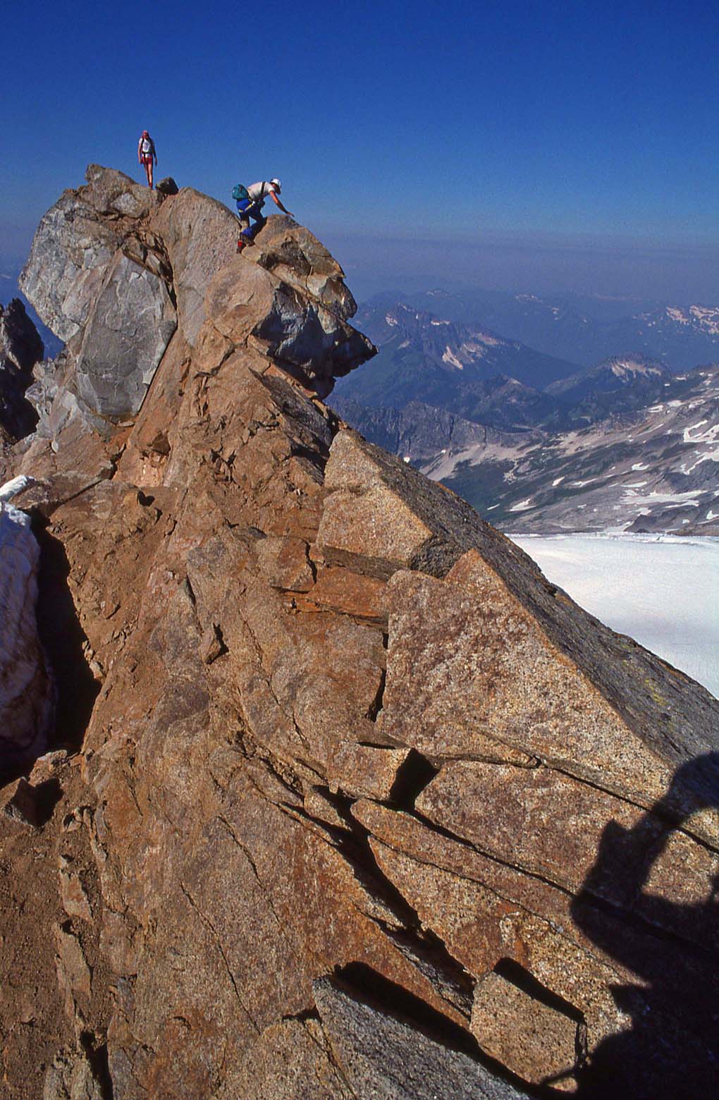
Me, going to the summit of Dome Peak (yep, there's a huge drop on both sides) Good thing there was no wind. |
Me, going to the summit of Dome Peak: Finally gotta grab hold! | Me, on the summit of Dome Peak |
Descending Dome Peak |
Looking back up to the summit of Dome |
|
|
|
|
||
|
Looking back up to the summit of Dome |
Ready to roll out (almost) |
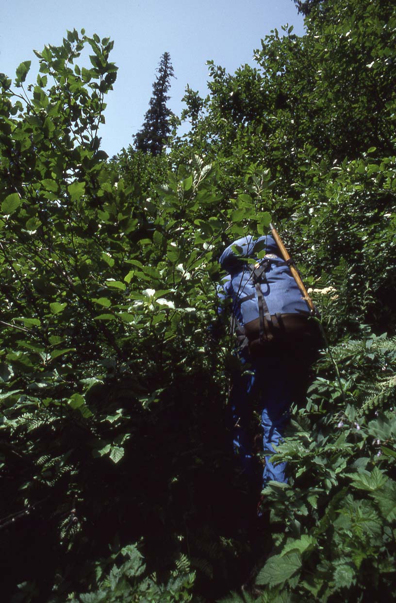
The (bad) trail out - Stage 5 |
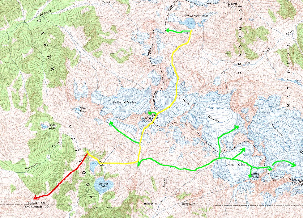
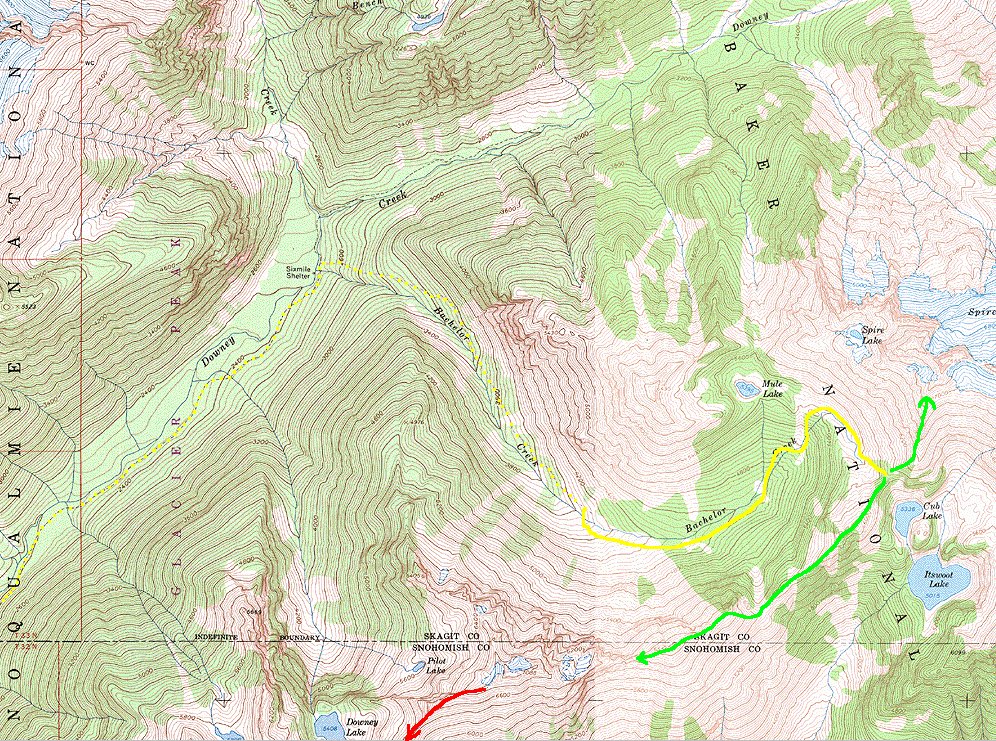
Data on the Ptarmigan Traverse:
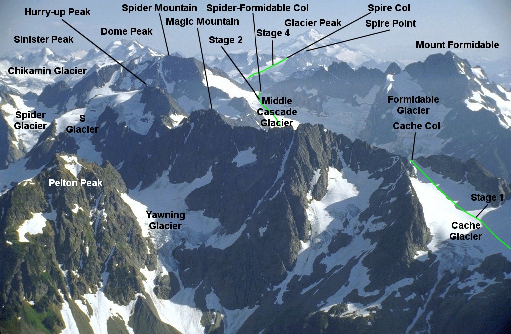
View of most of the route:
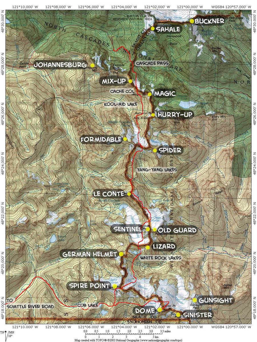
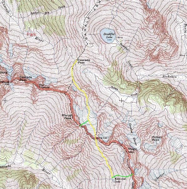
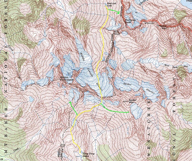
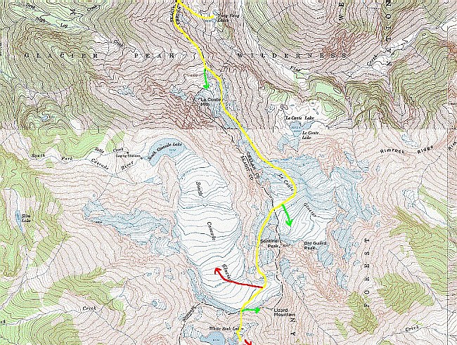
Map of the route:
Detailed maps of the stages:
Stage 1 Stage 2 Stage 3 Stage 4 Stage 5
Peaks on the Route (and elevation in feet above sea level):
Hurry-up Peak (S Mountain) 7800
Le Conte Mountain 7762
Lizard Mountain 8400
Magic Mountain 7610
Mix-Up Peak 7440
Mount Formidable 8325
Old Guard Peak 8240
Sentinel Peak 8261
Sinister Peak 8440
Spider Mountain 8286
Spire Point 8264
Background image is Tim Backman on the Art's Knoll summit ridge, Aug-1986
Last updated: 16-May-2010


