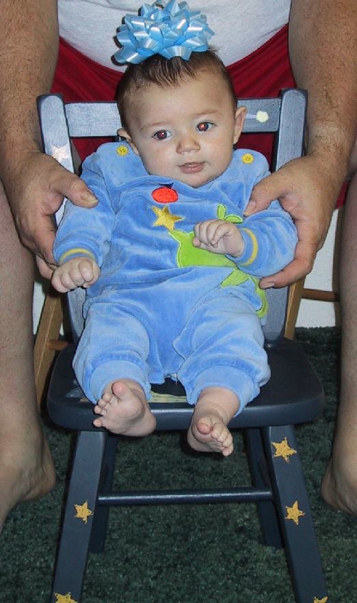


age: 3 mo.
age: 1
age: 2
age: 3
age: 4
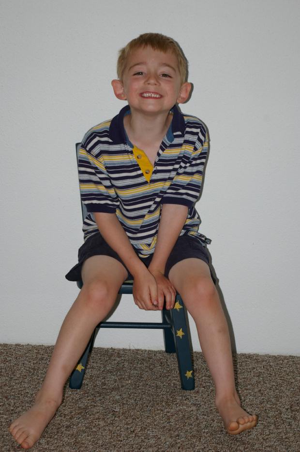
age: 5
age: 6
age: 7
age: 8


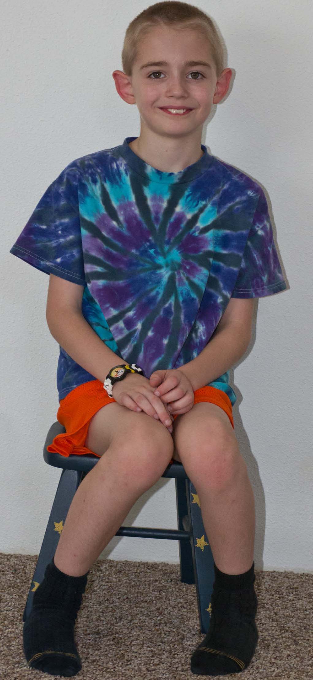
age: 9
age: 10
age: 12
age: 13
age: 14
age: 15
age: 17
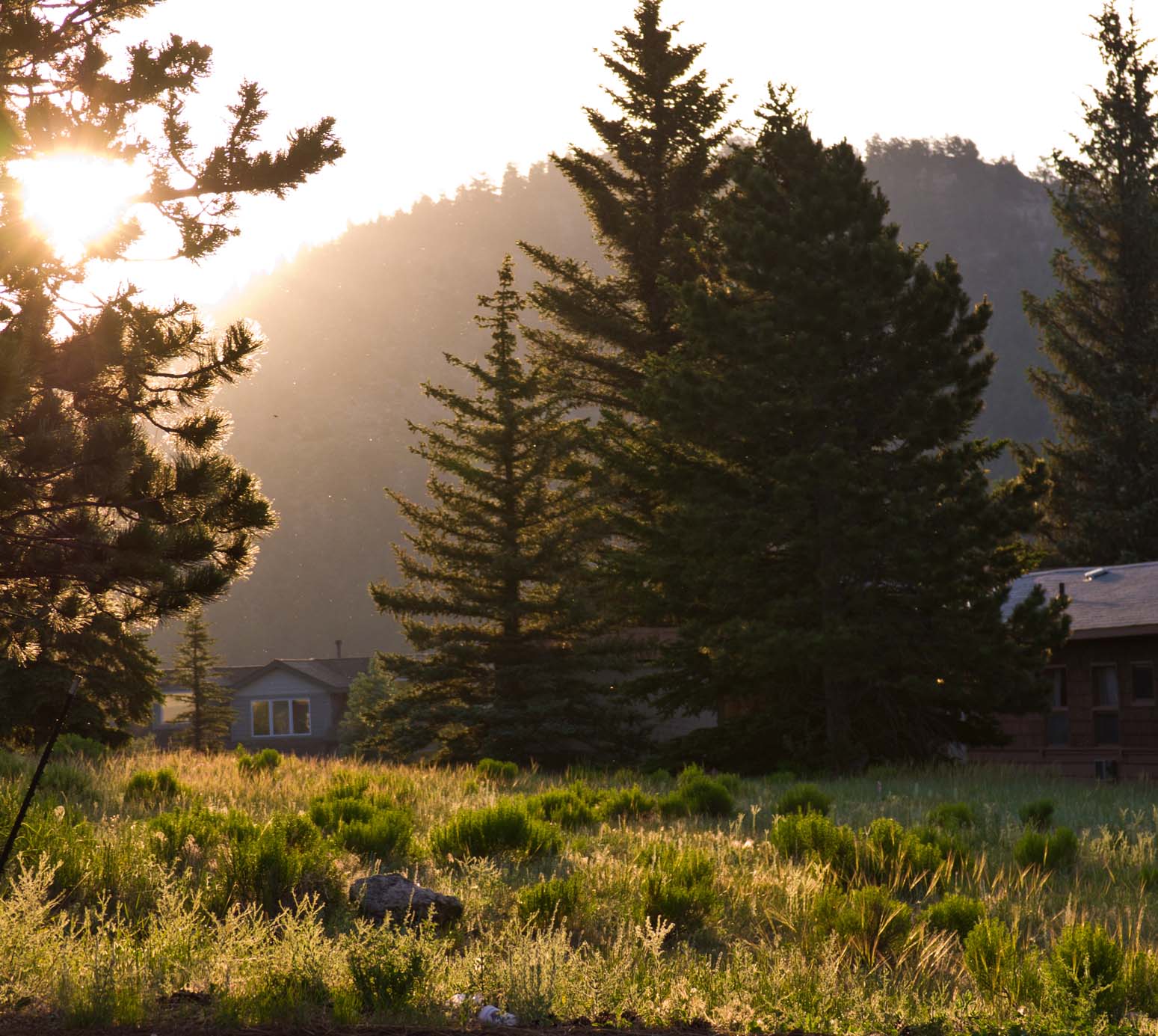
Phyllis and Jim's White Salmon Home
Photos from our 2013 Trip
Including our Road Trip to and from White Salmon
All images are copyright © James W. Blilie, 2001 through 2013, All rights reserved
White Salmon:
| 2001 | 2002 |
2003 | 2004 |
2005 |
| 2006 | 2007 |
2008 | 2009 |
2010 |
| 2011 | 2012 | 2013 | 2014 | 2015 |
| 2016 | 2017 | 2018 | 2019 | 2021 |
Jamie on his special chair at White Salmon that Anne gave him:
|
|
|
|
|
|
|
|
|
|
|
age: 3 mo. |
age: 1 |
age: 2 |
age: 3 |
age: 4 |
age: 5 |
age: 6 |
age: 7 |
age: 8 |
|
|
|
No 2015 picture of Jamie L |
|
|
|
|
|
|
|
age: 9 |
age: 10 |
2015 |
age: 12 |
age: 13 |
age: 14 |
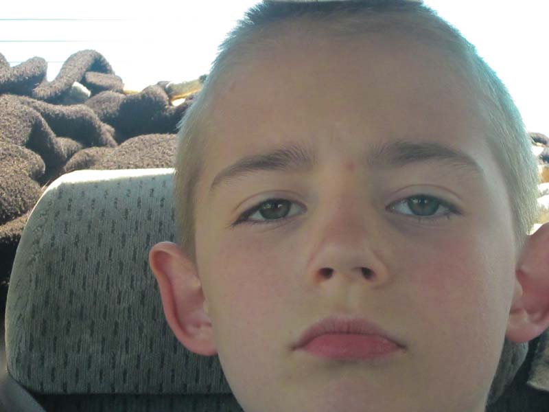
age: 15 |
age: 17 |
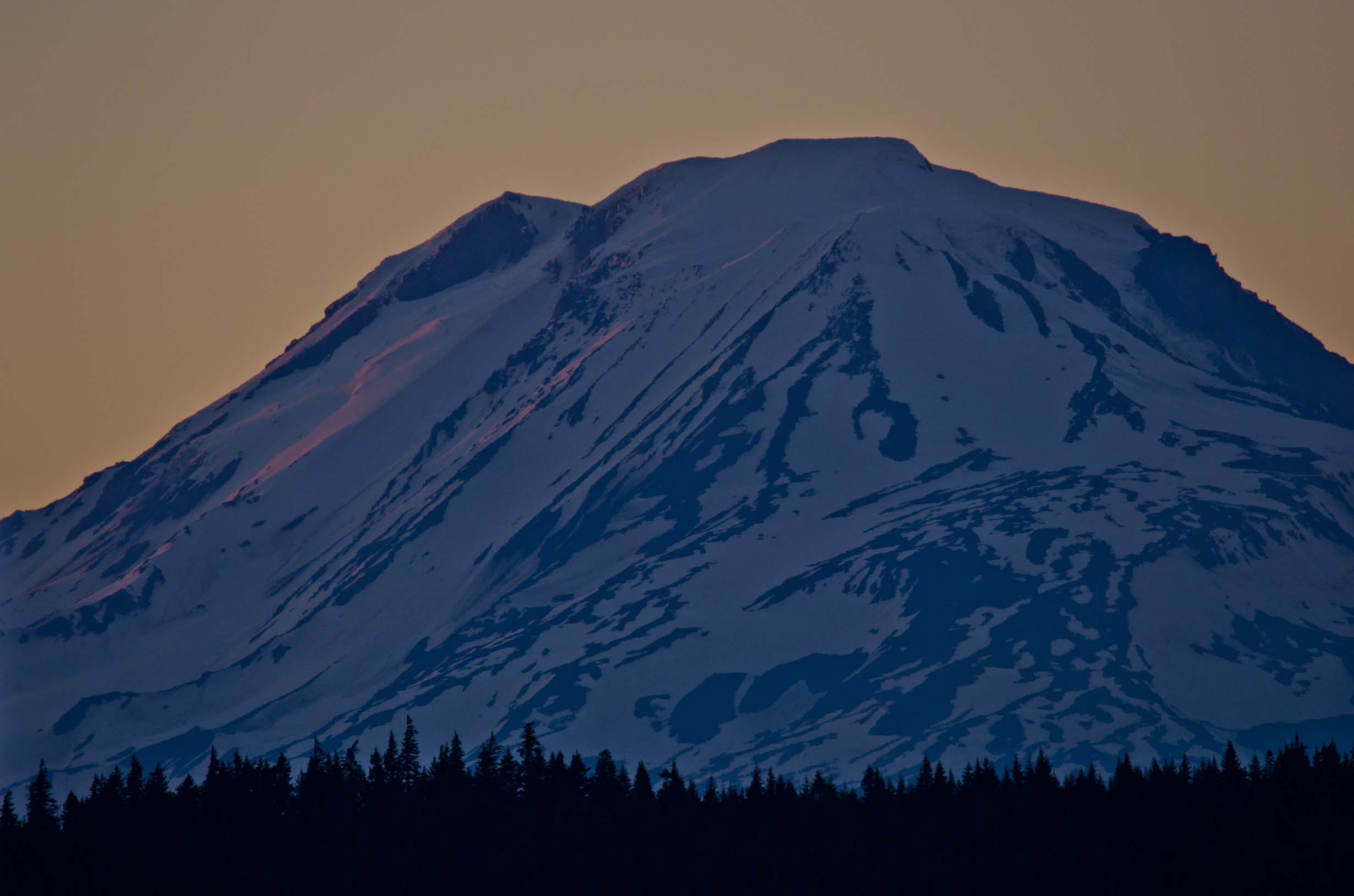
Adams at sunset, first day or two
Hood at sunset, first day or two

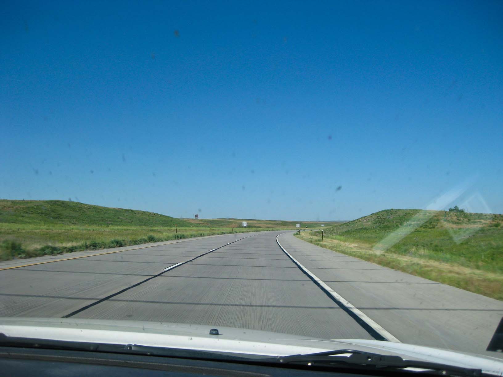
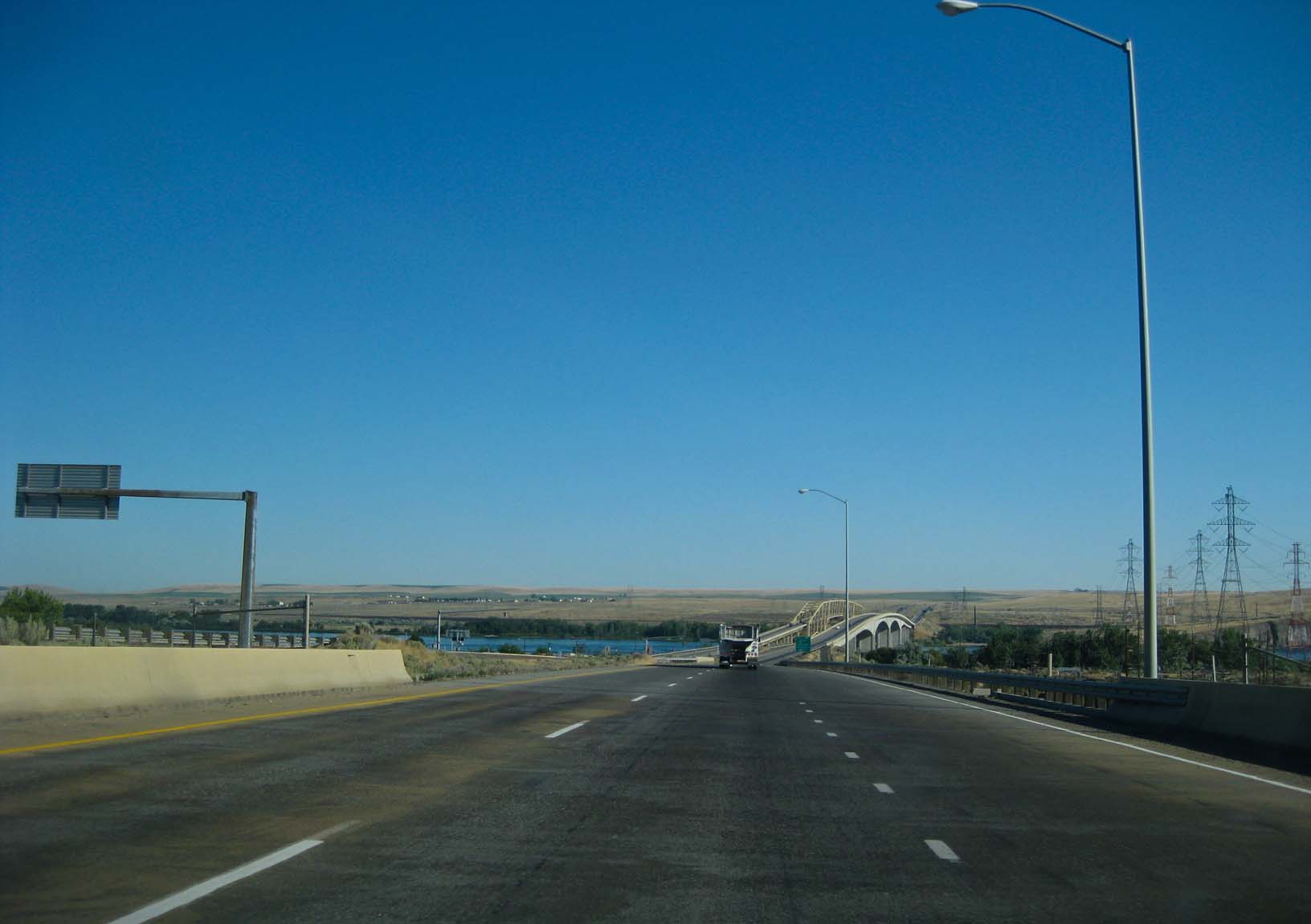
This year, we drove to White Salmon and back.
Click on the photo below to go to a slide show of the road trip (medium speed)

Or click here for a higher speed slide show of the road trip
Or here for a slower speed slide show of the road trip
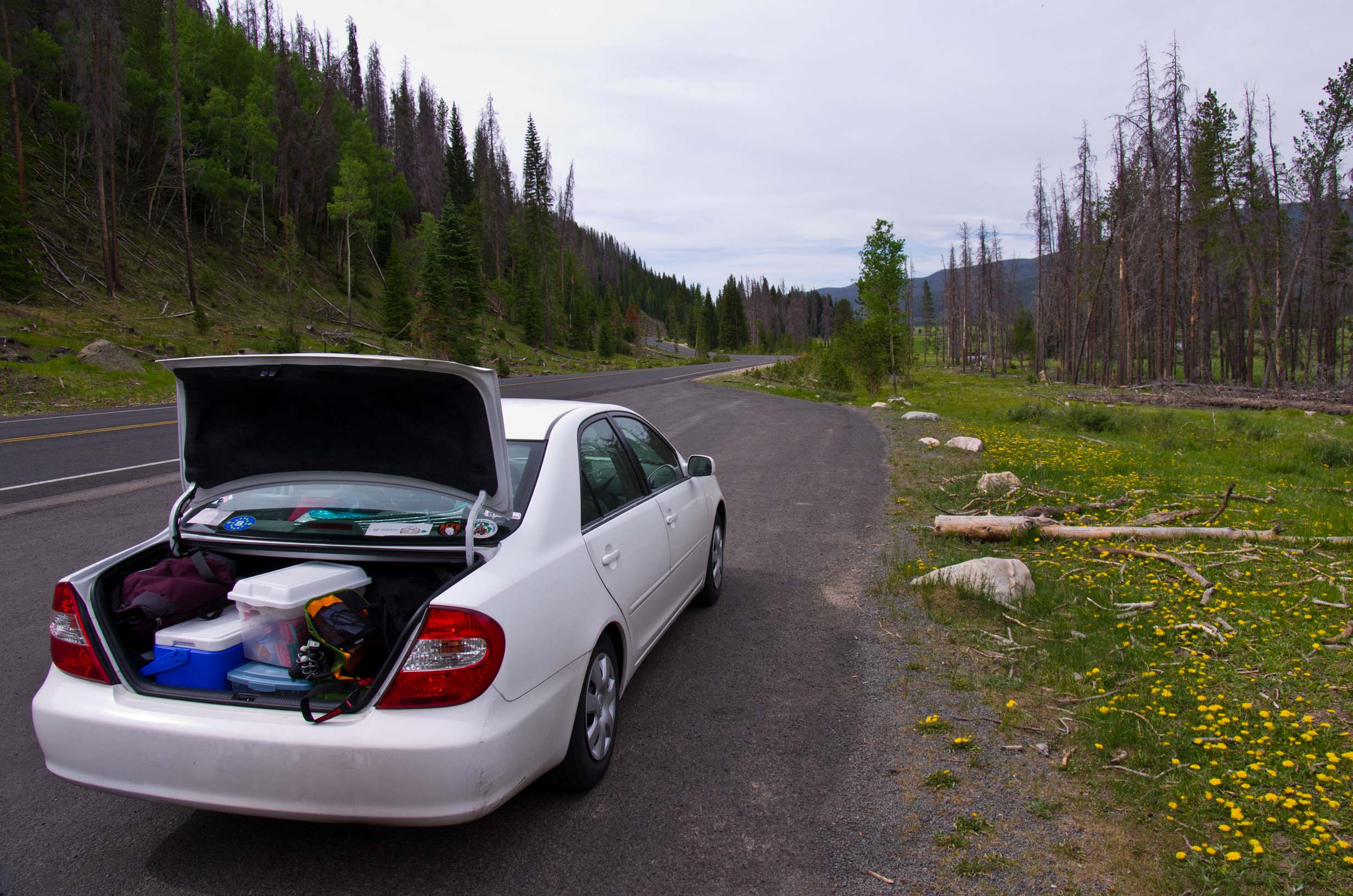
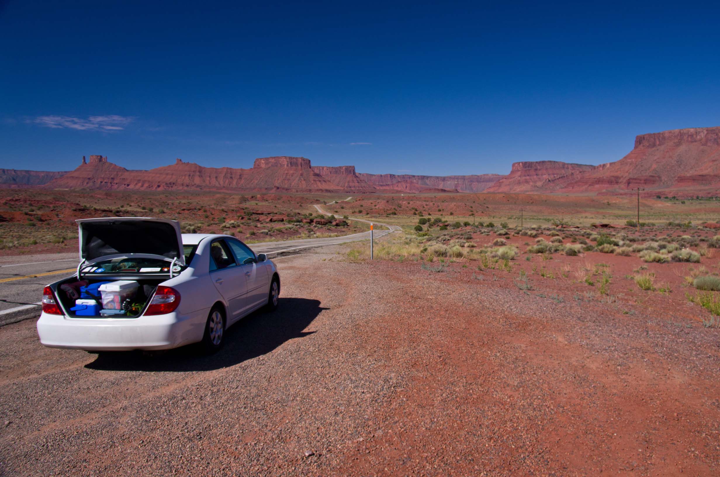
Our trusty steed after the road trip: The bugs of many states!

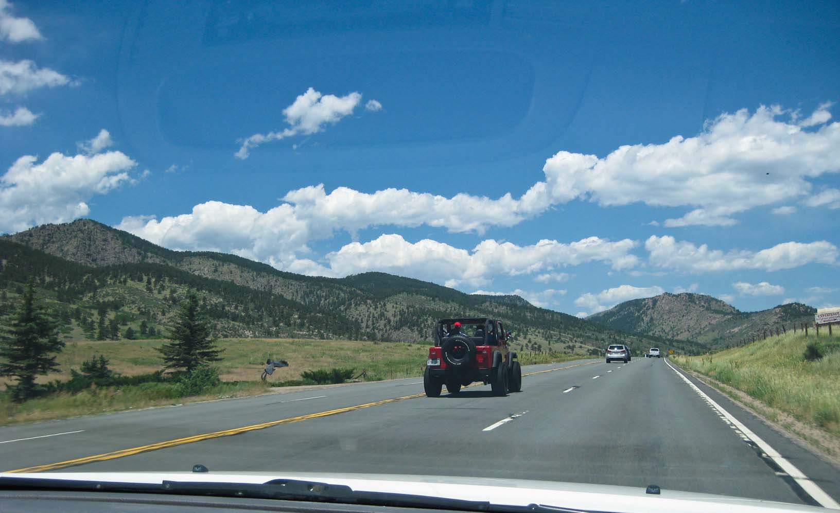
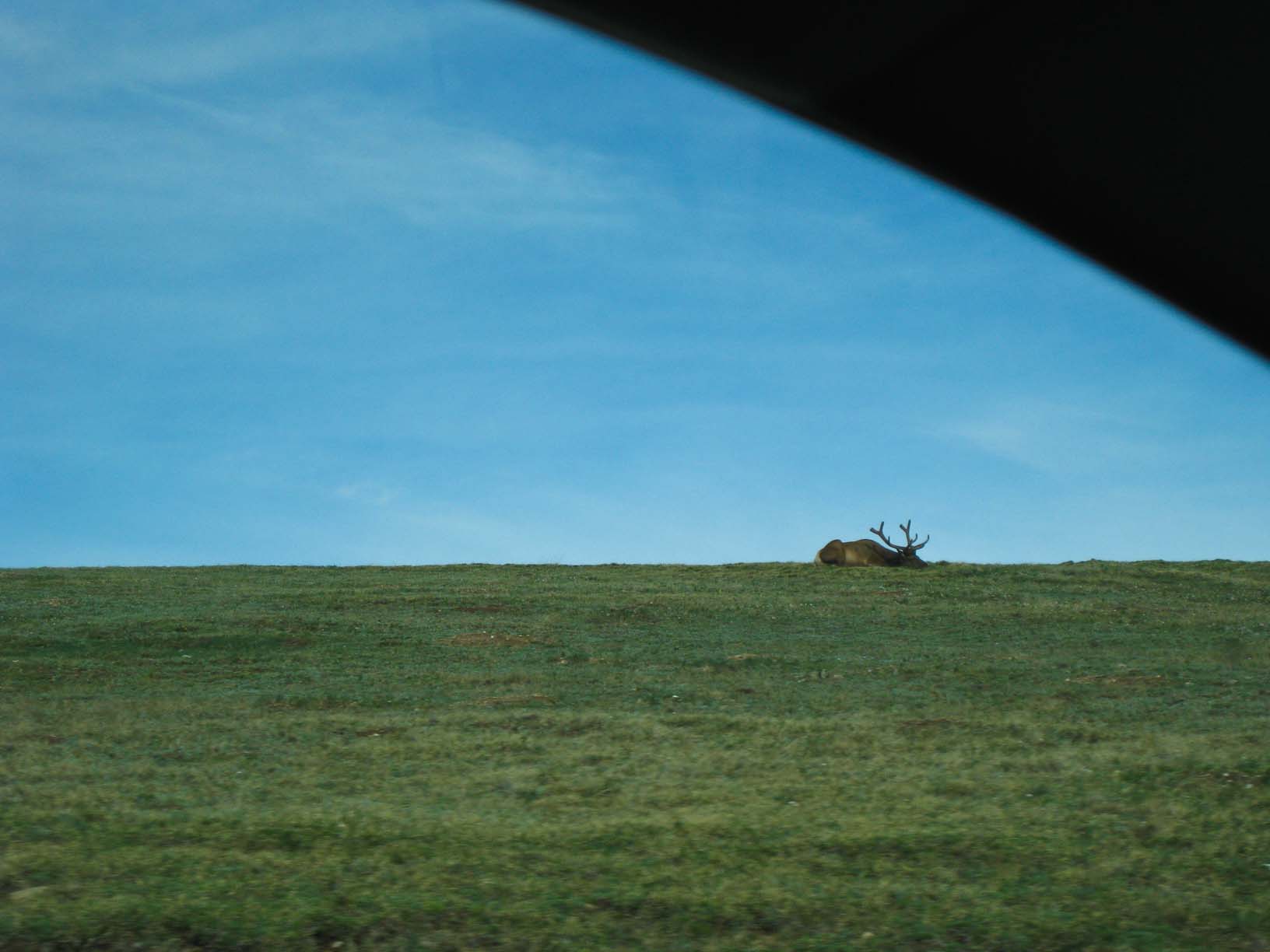
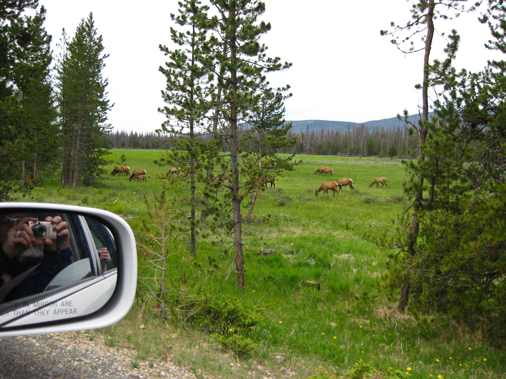
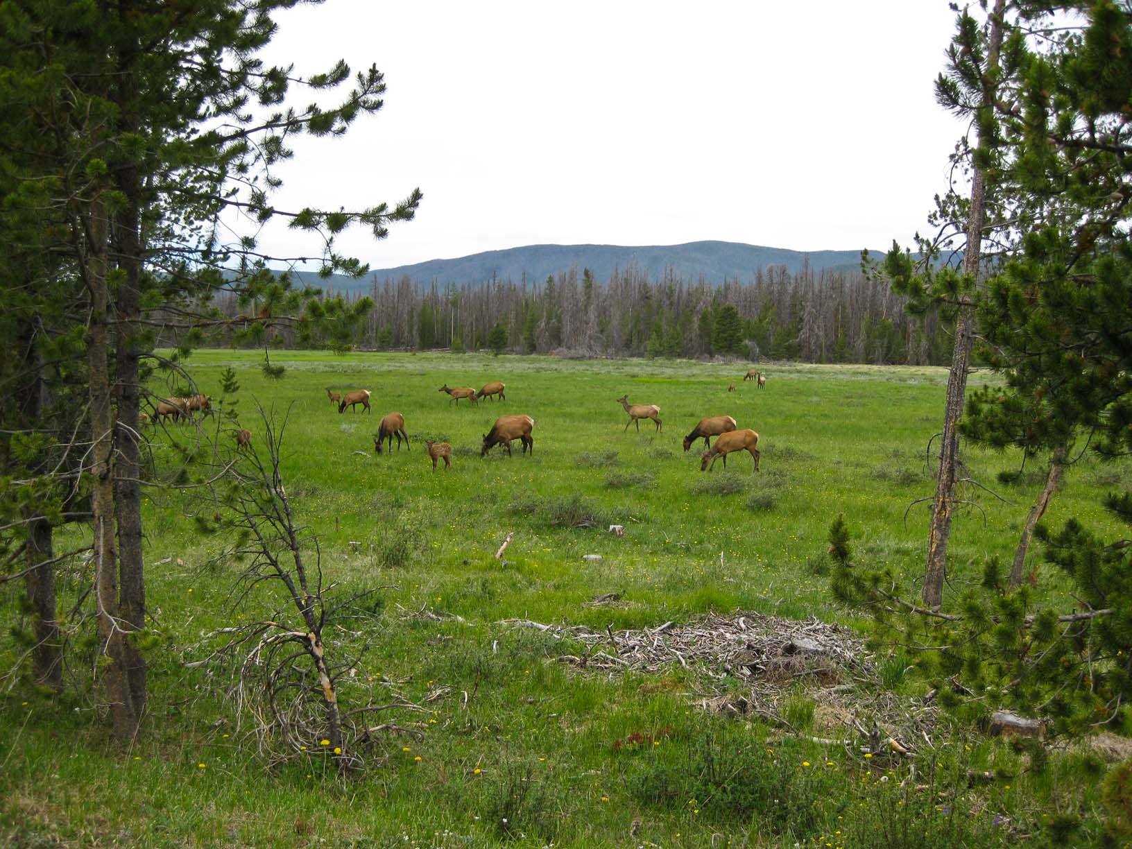
Elk, Rocky Mountain National Park

Rocky Mountain NP, Colorado; Colorado River near Moab Utah


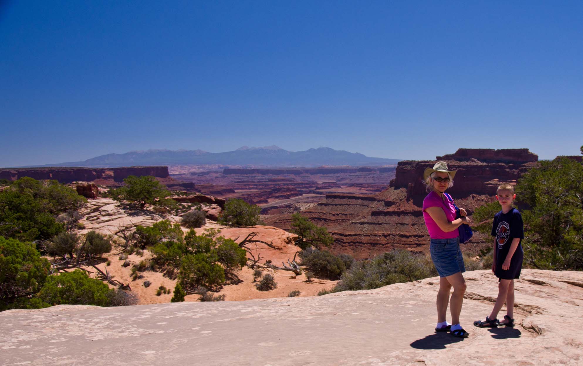
Canyonlands NP, Utah; Arches NP, Utah

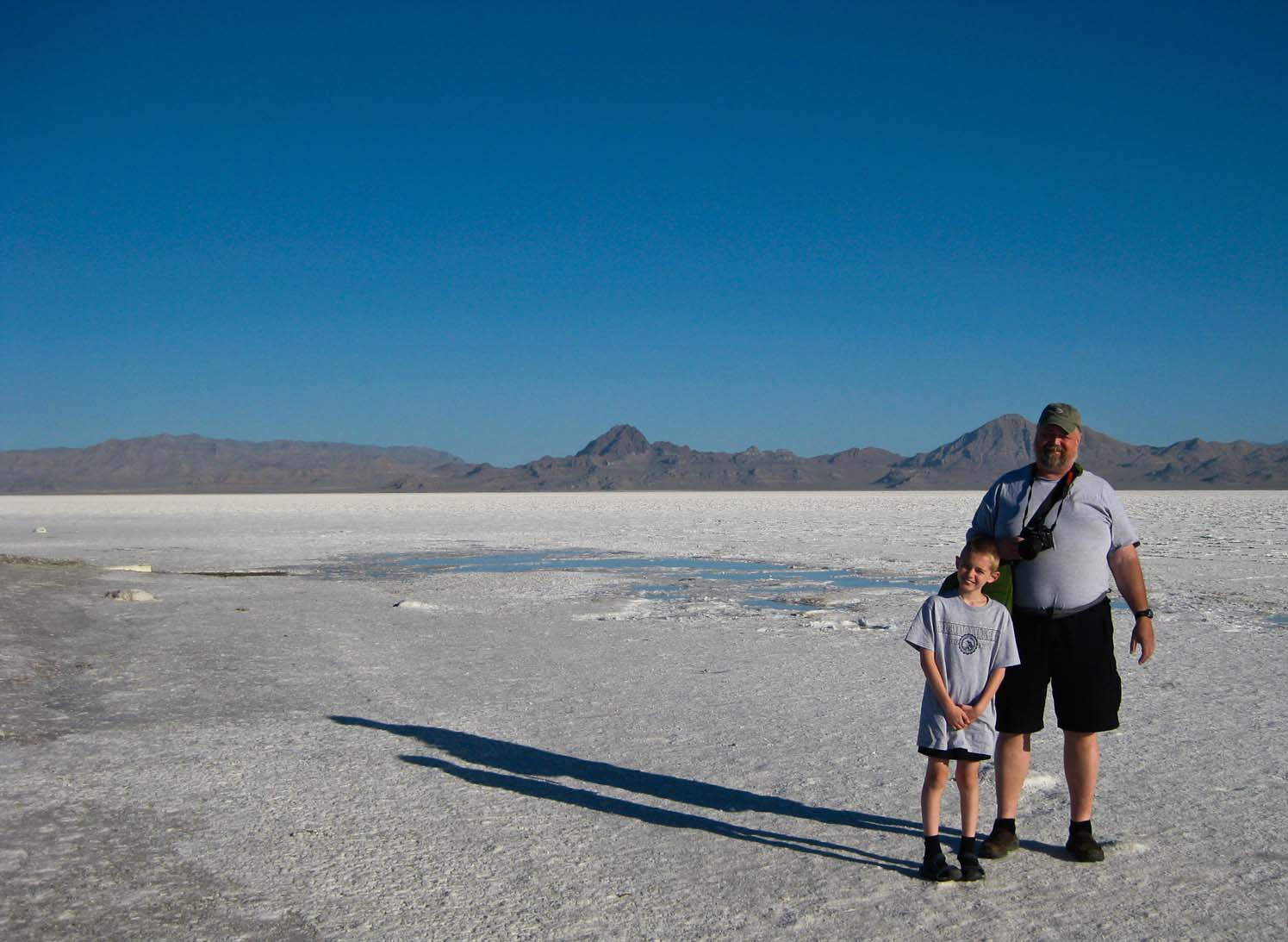
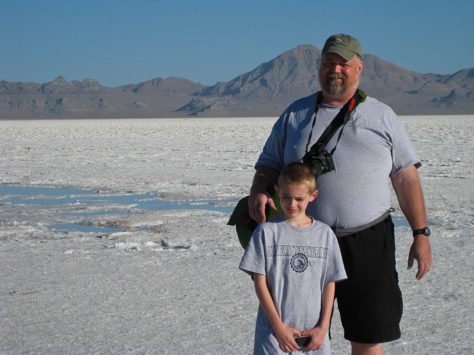
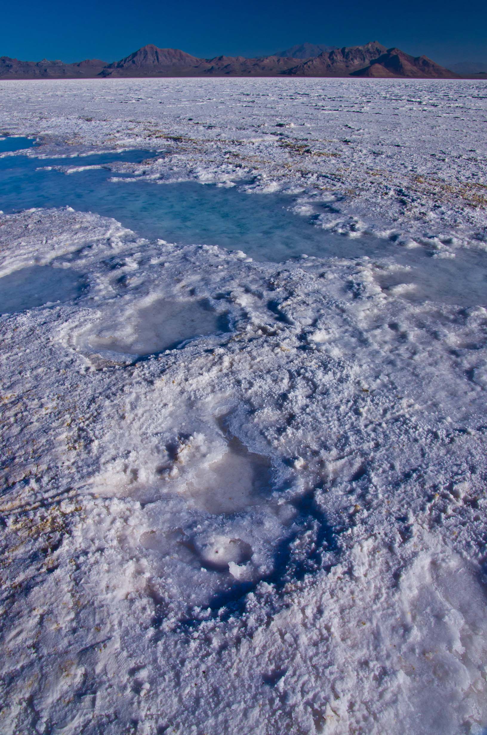
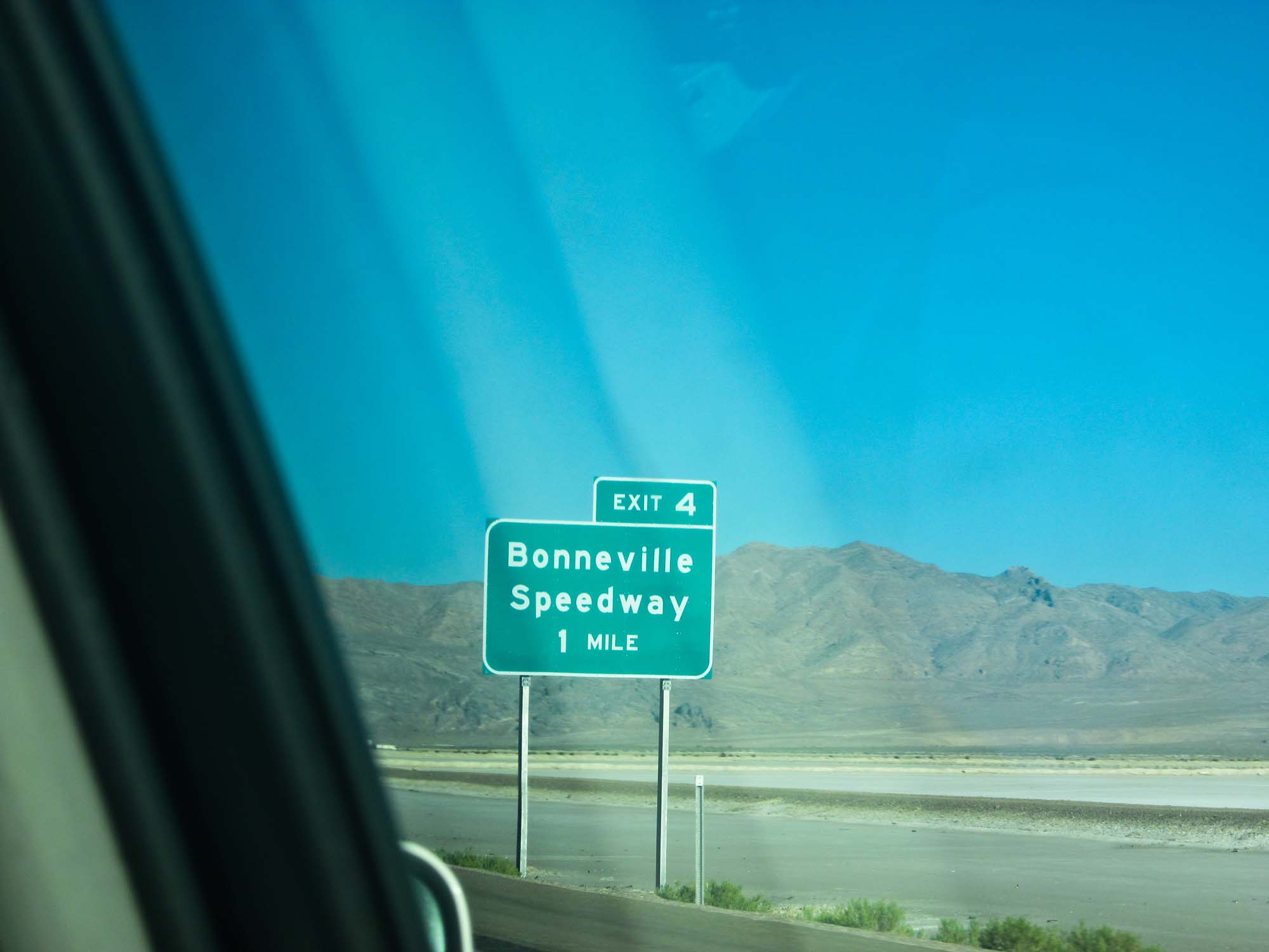
Bonneville Salt Flats, Utah


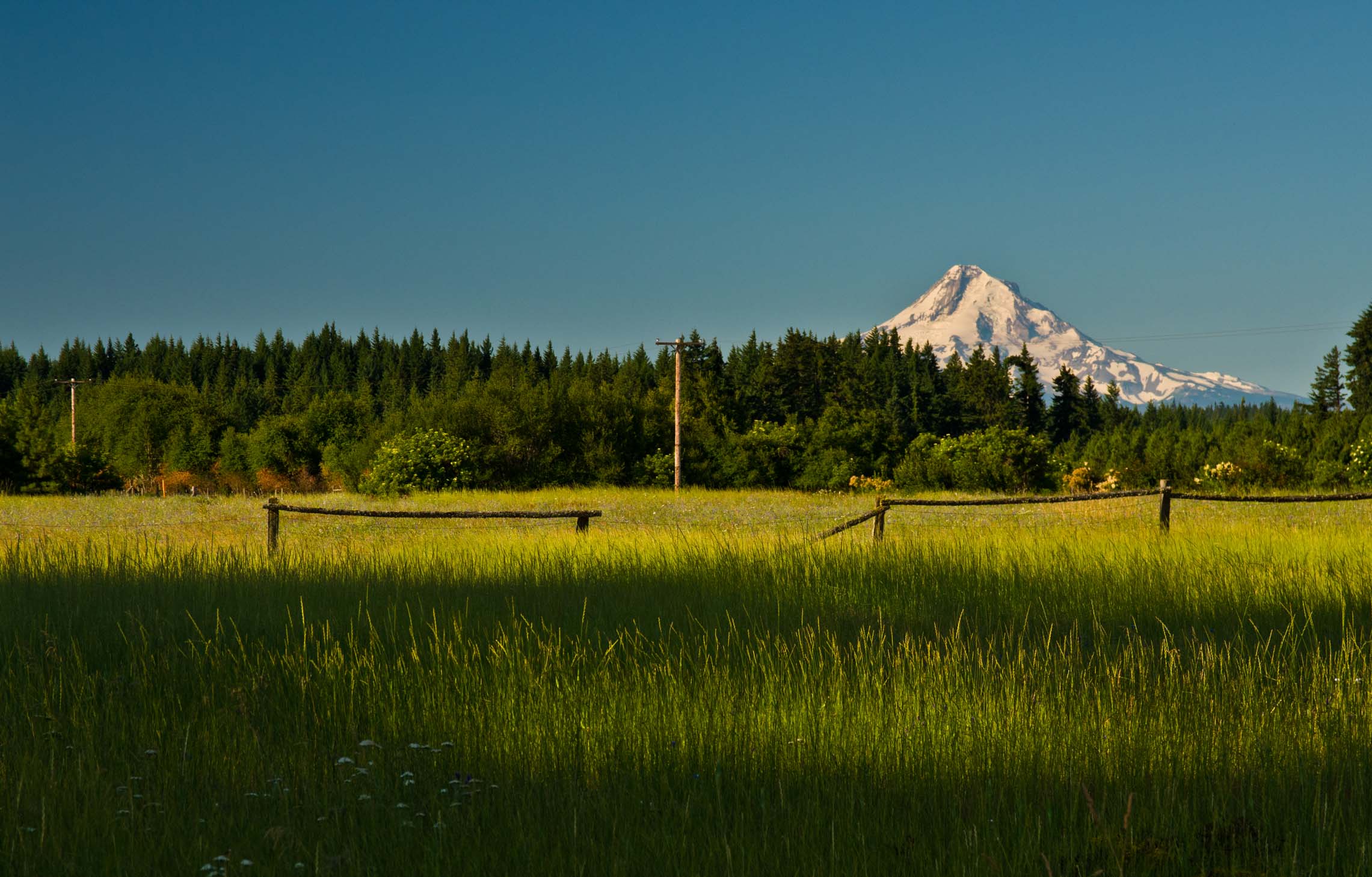
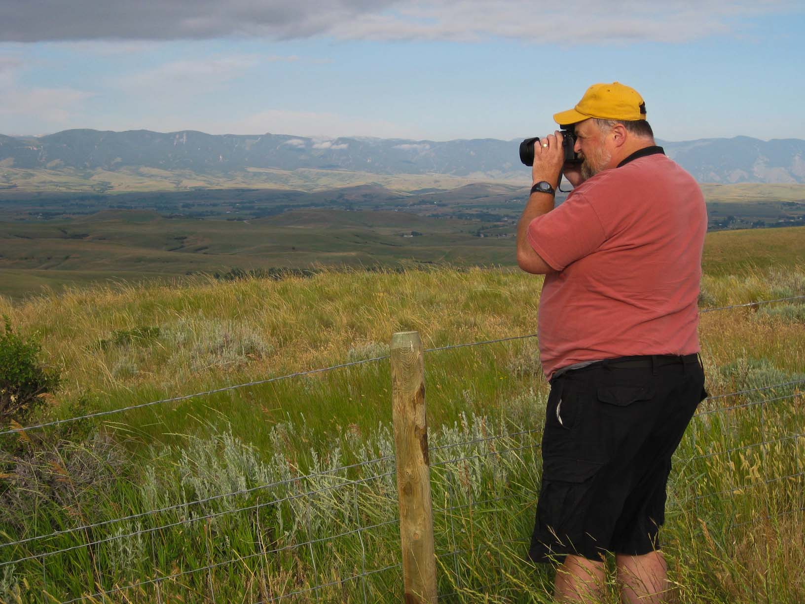
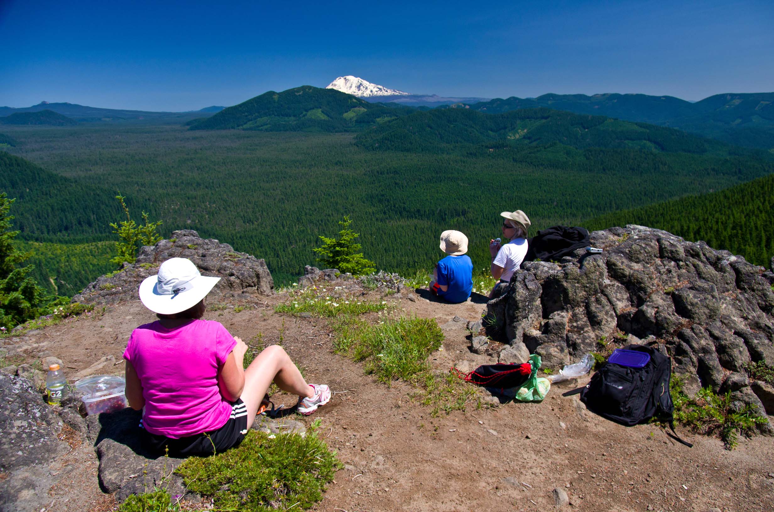
"Grassy Knoll" Hike, near White Salmon; Lookout Mountain and Mt. Hood, near White Salmon

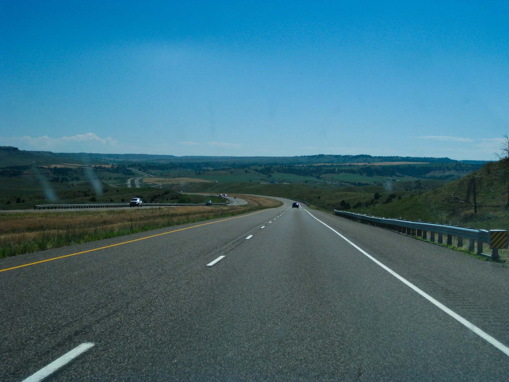
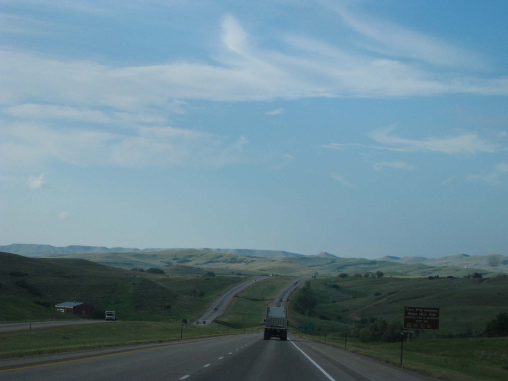
Eastern Montana; Wyoming - the Bighorn Mtns


Devils Tower, WY; Badlands National Park, South Dakota


White Salmon 2013
So this year, we drove out to White Salmon, 7 days out and 4 days back. We got up at 4am the first morning
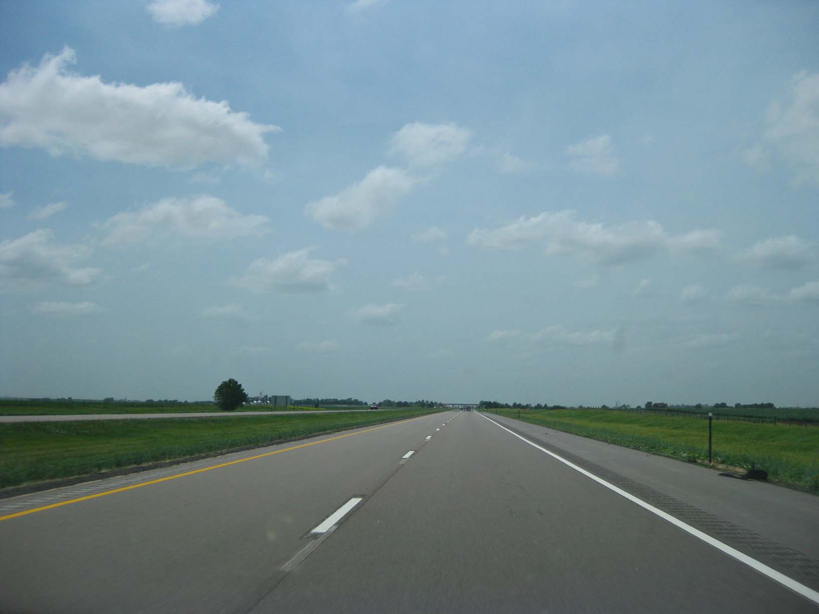
and drove through south the then west across southern Minnesota, the SE corner of South Dakota, the western
edge of Iowa, then across Nebraska from east to west. We spent the first night in Grand Island NE (622 miles,
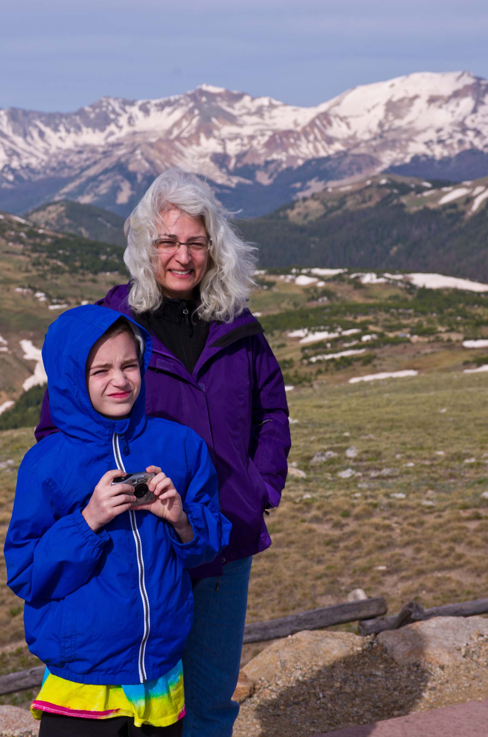
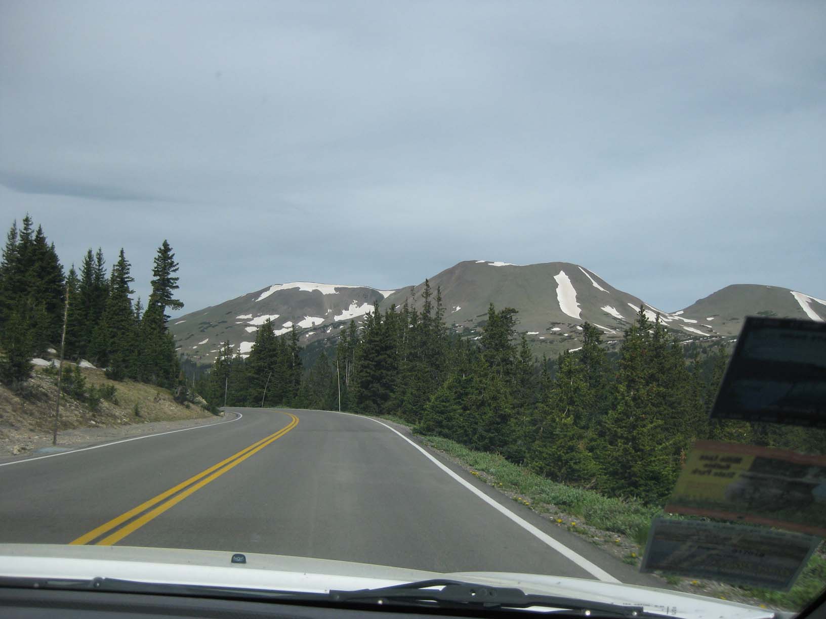
the longest day of the trip). Then we crossed into Colorado the next morning and drove to Estes Park, passing the
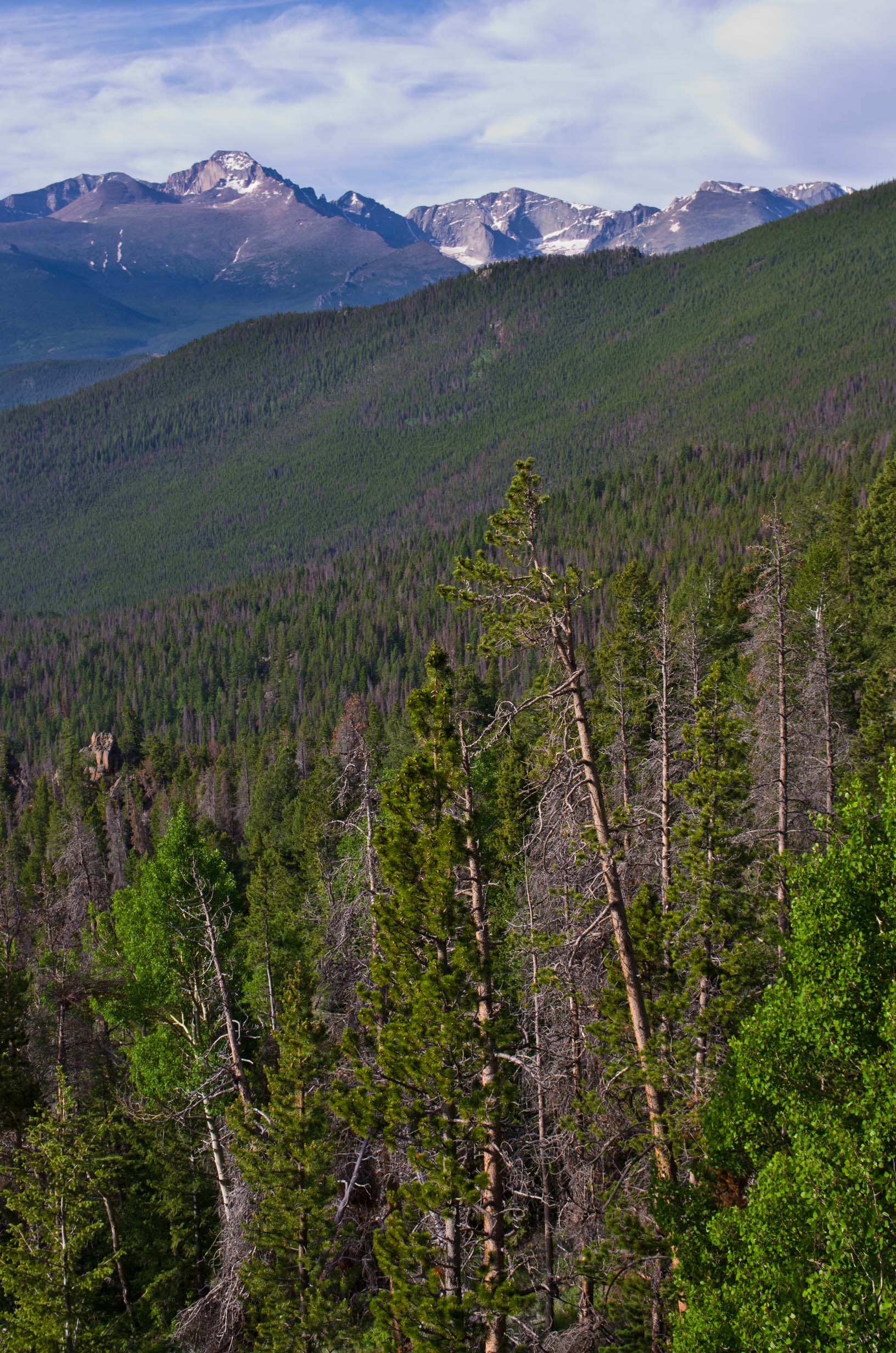
Big Thompson River Gorge on the way. The third morning we rose early again and drove into Rocky Mountain
National Park. We were among the first visitors of the day and it was magic: The air was as clear as I've ever seen
it and there was no wind (at first) even at above 12,000 feet! I was comfortable in t-shirt and shorts until the wind finally
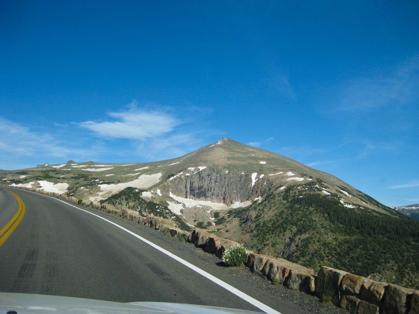
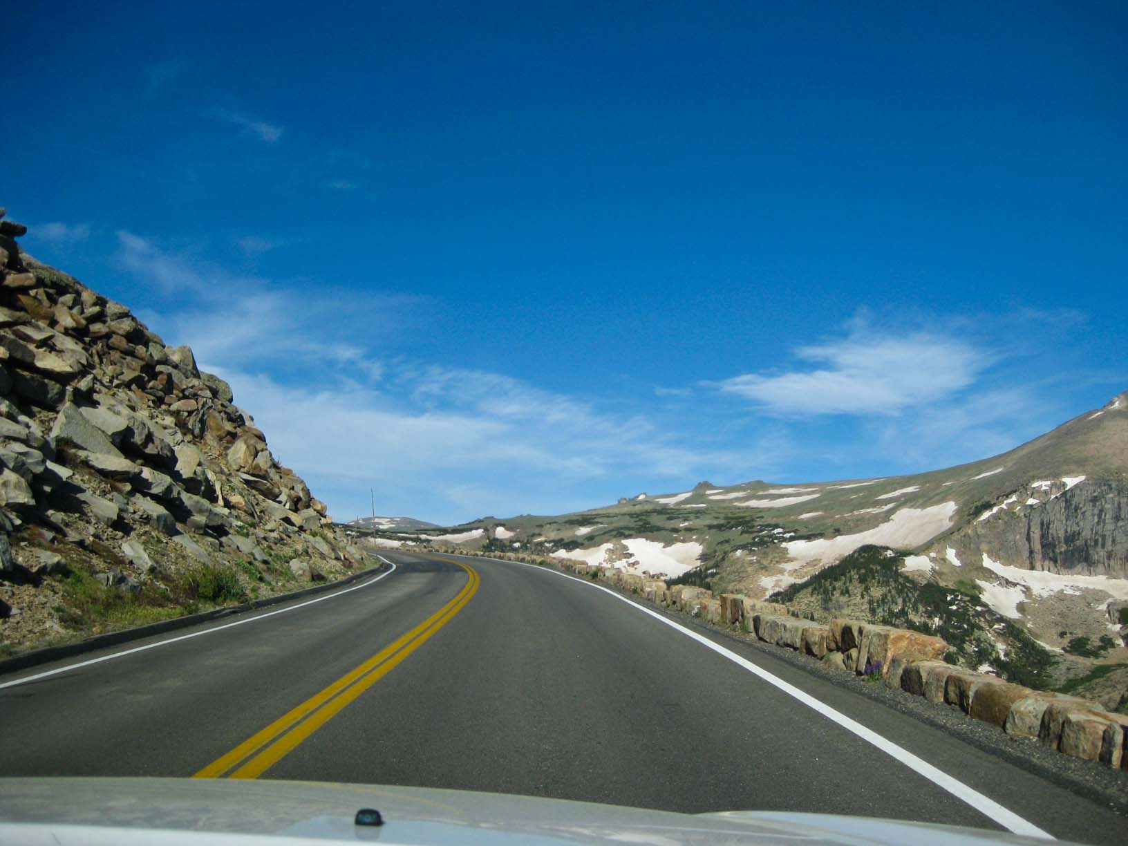
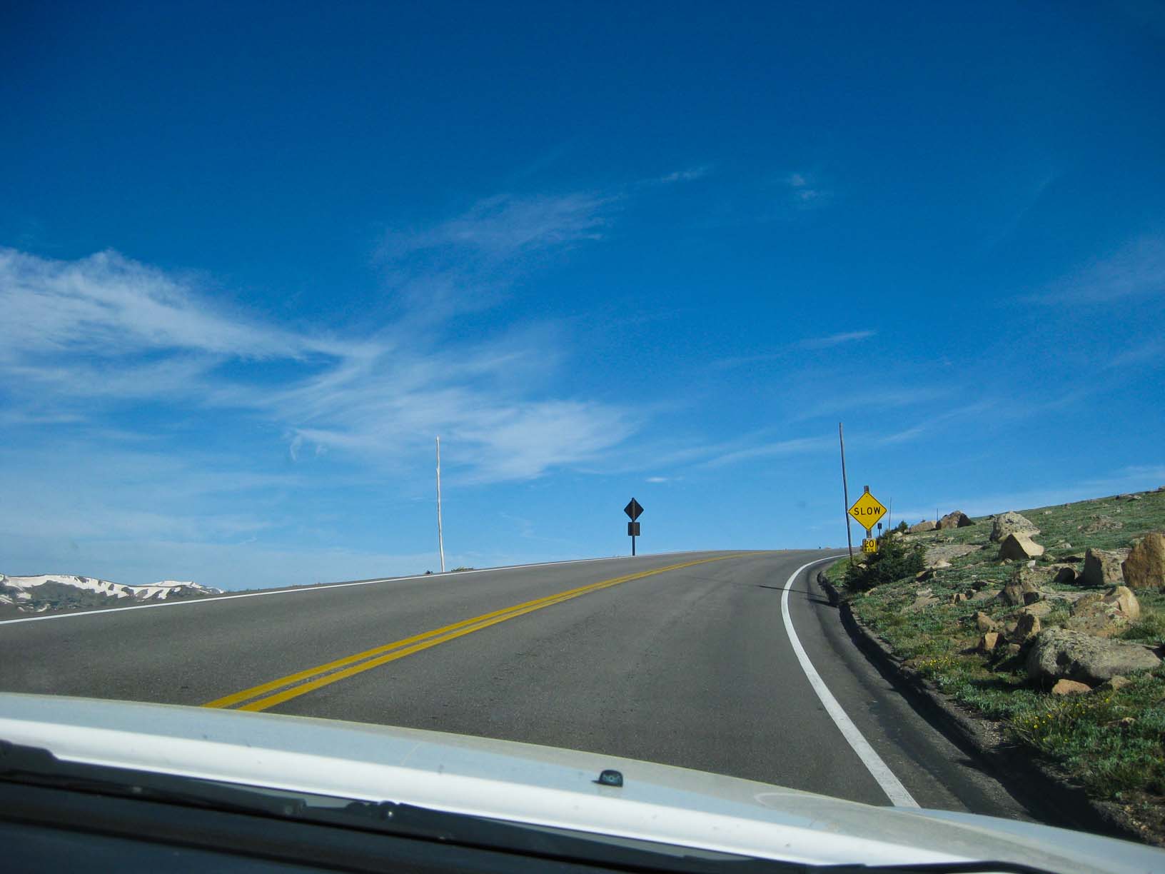
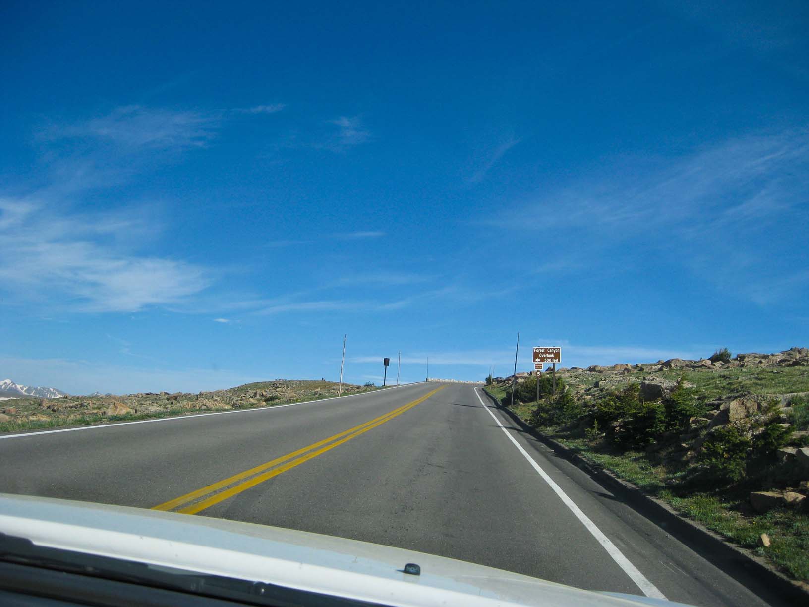
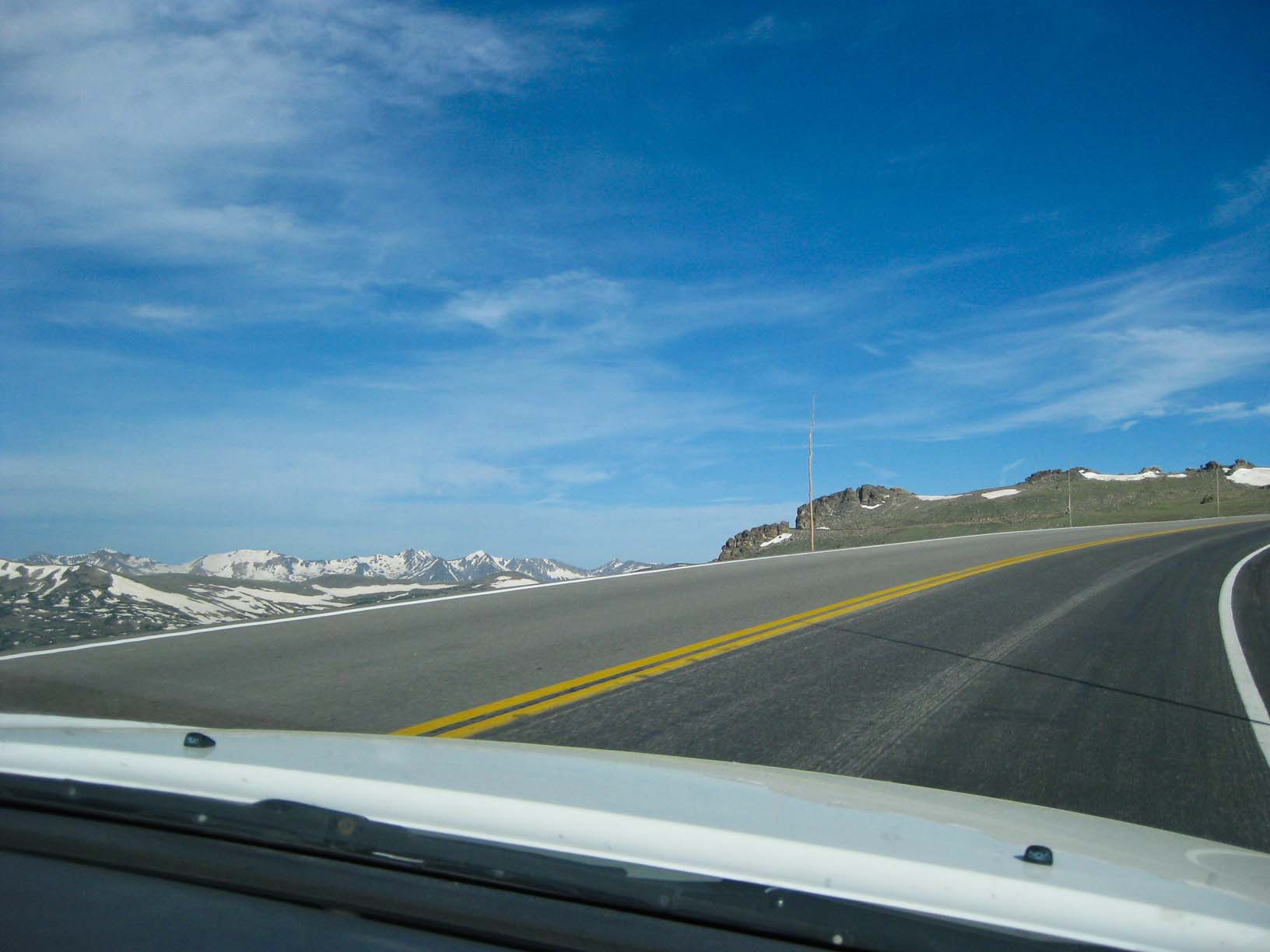
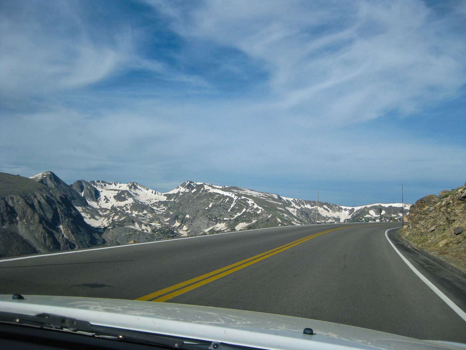
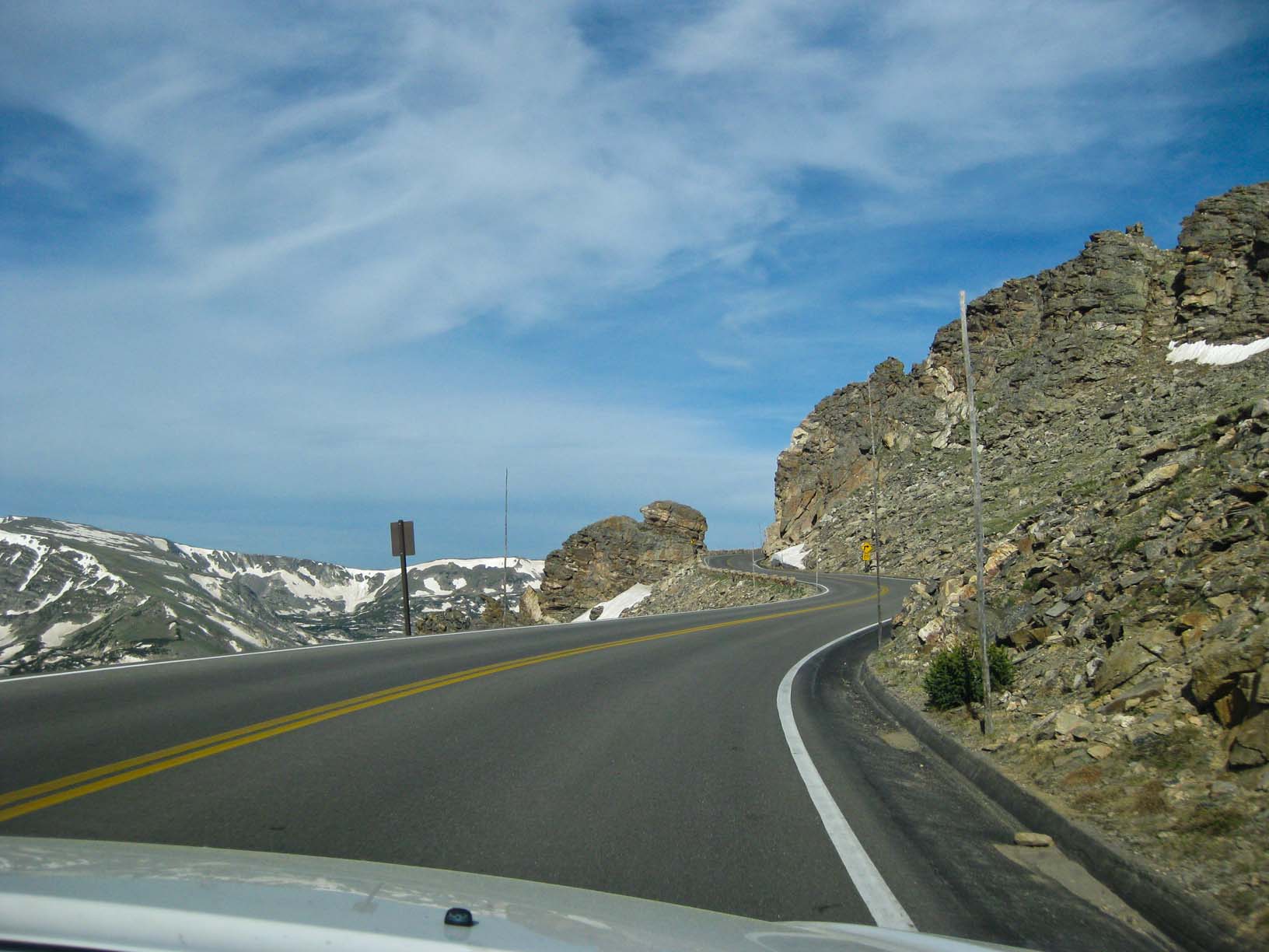
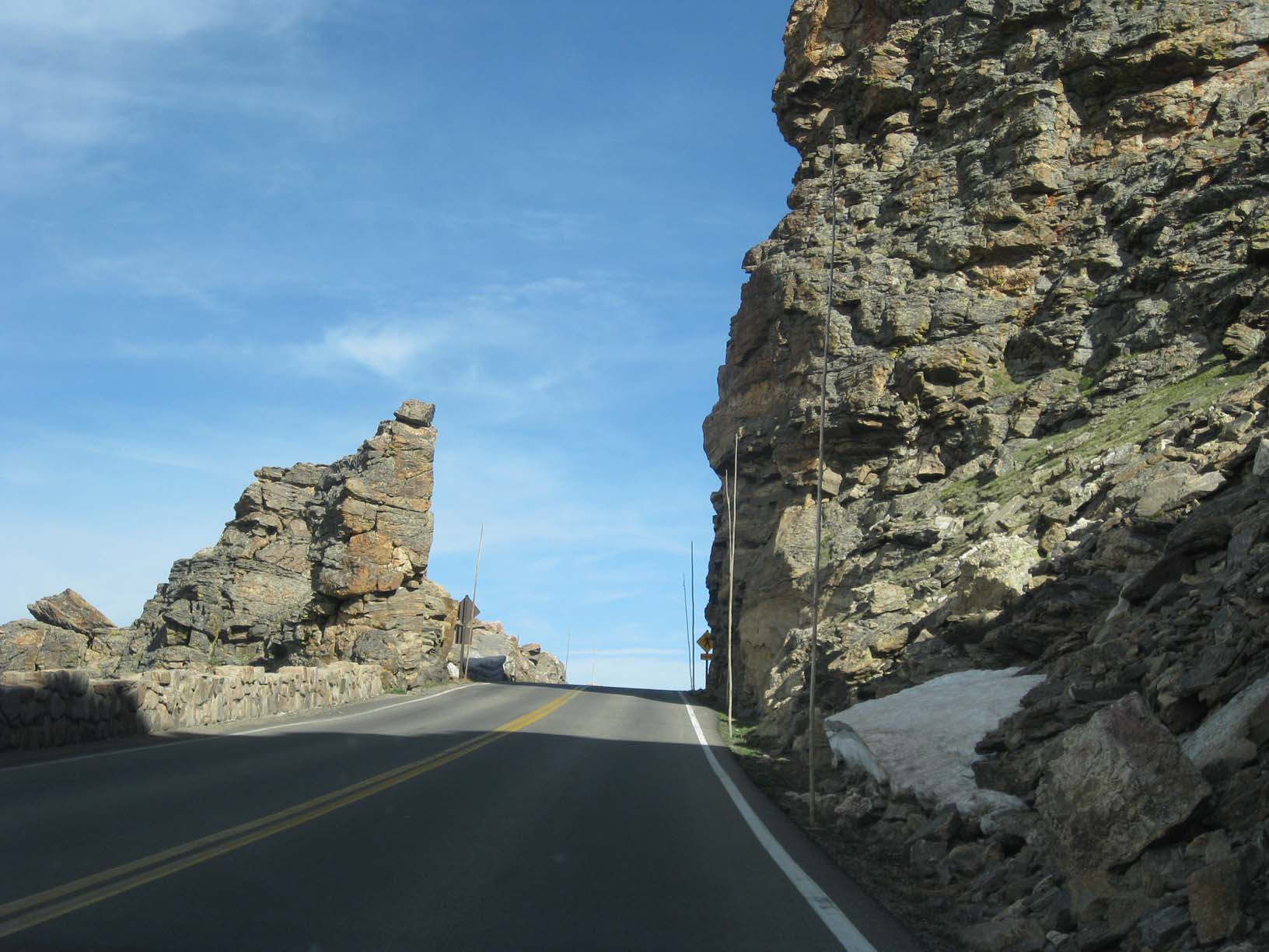
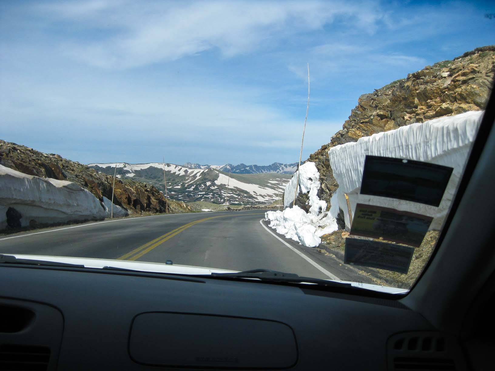
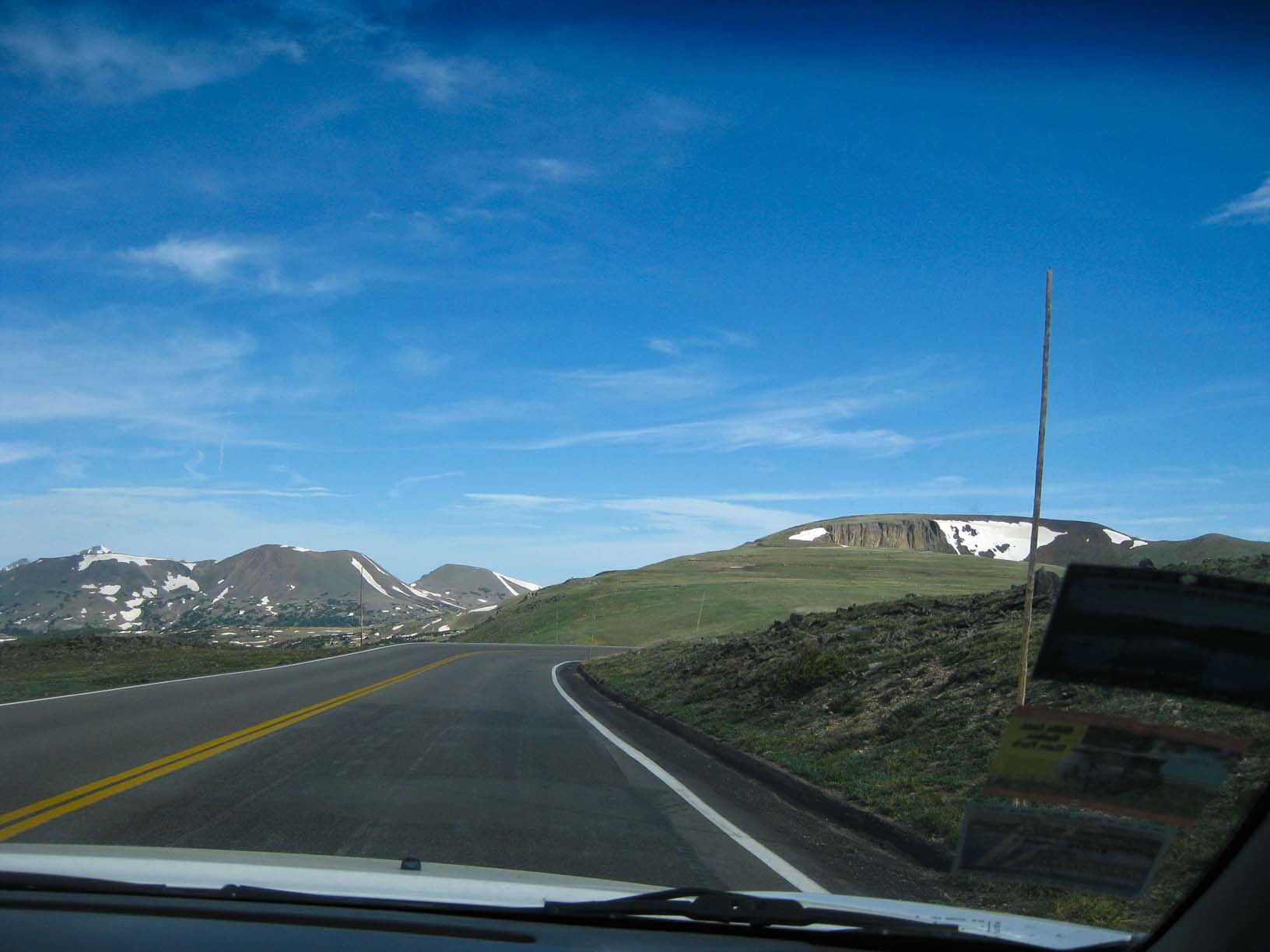
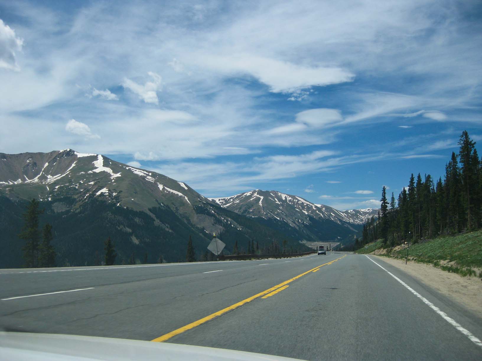
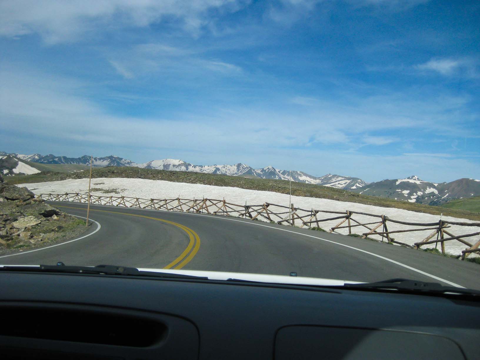
got going at about 9am. We drove the Trail Ridge Road (highest paved through road in the US) to 12,183 feet.
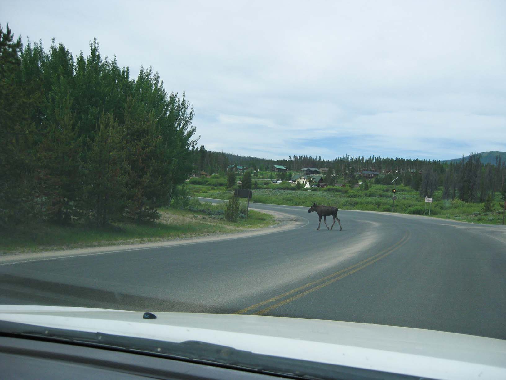
Dropping down the west side of the Rockies, we drove through Grand Parek, seeing lots of elk and two moose.
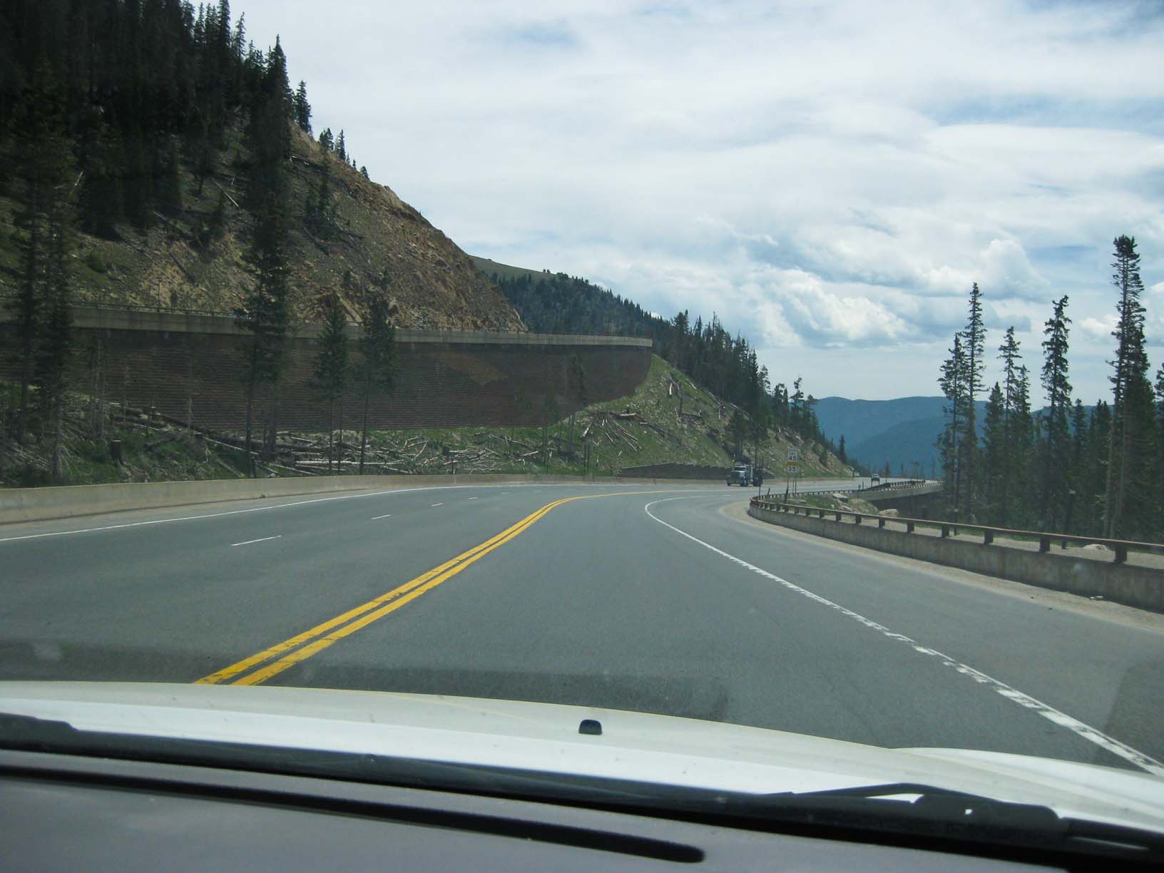
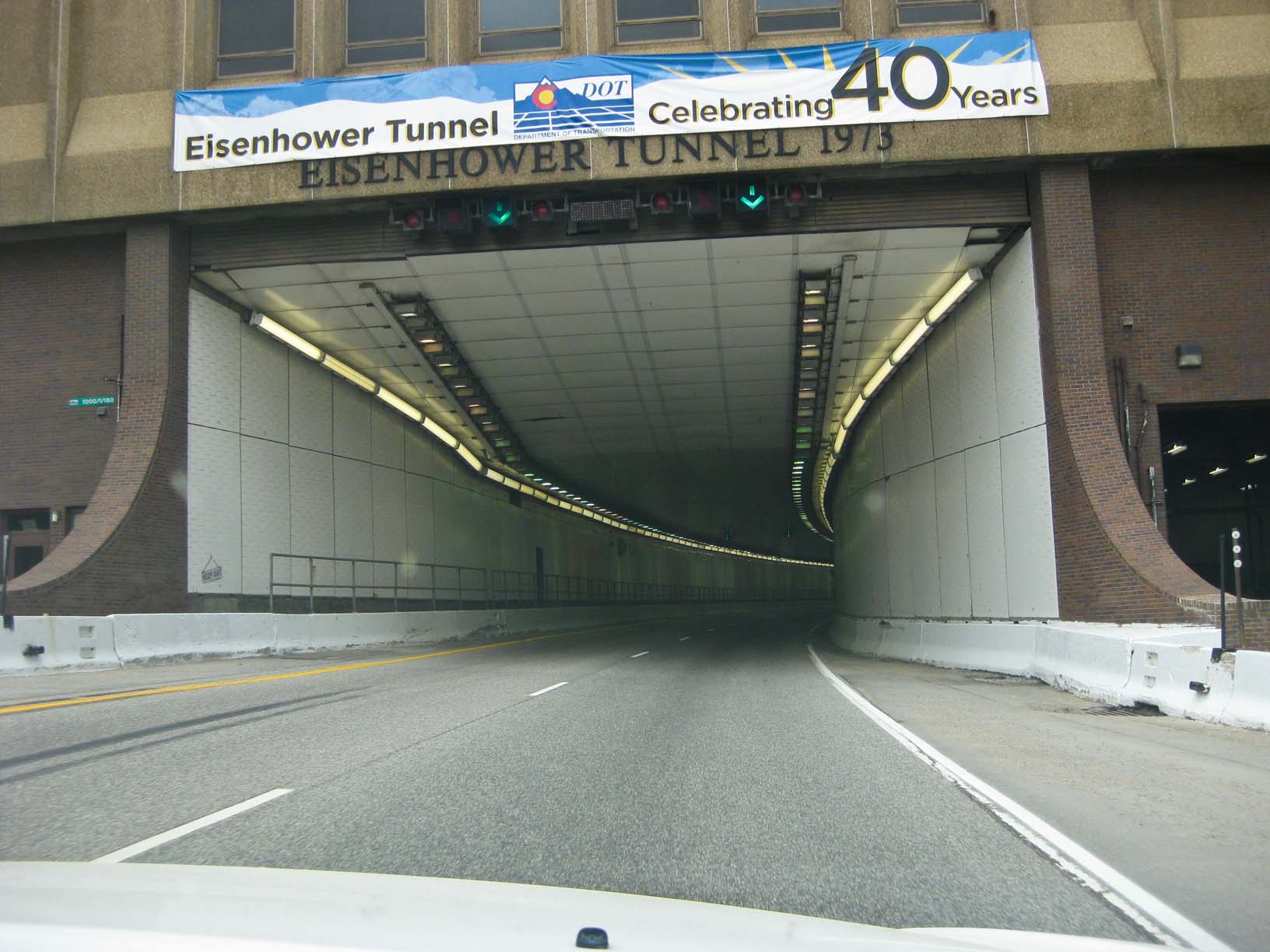
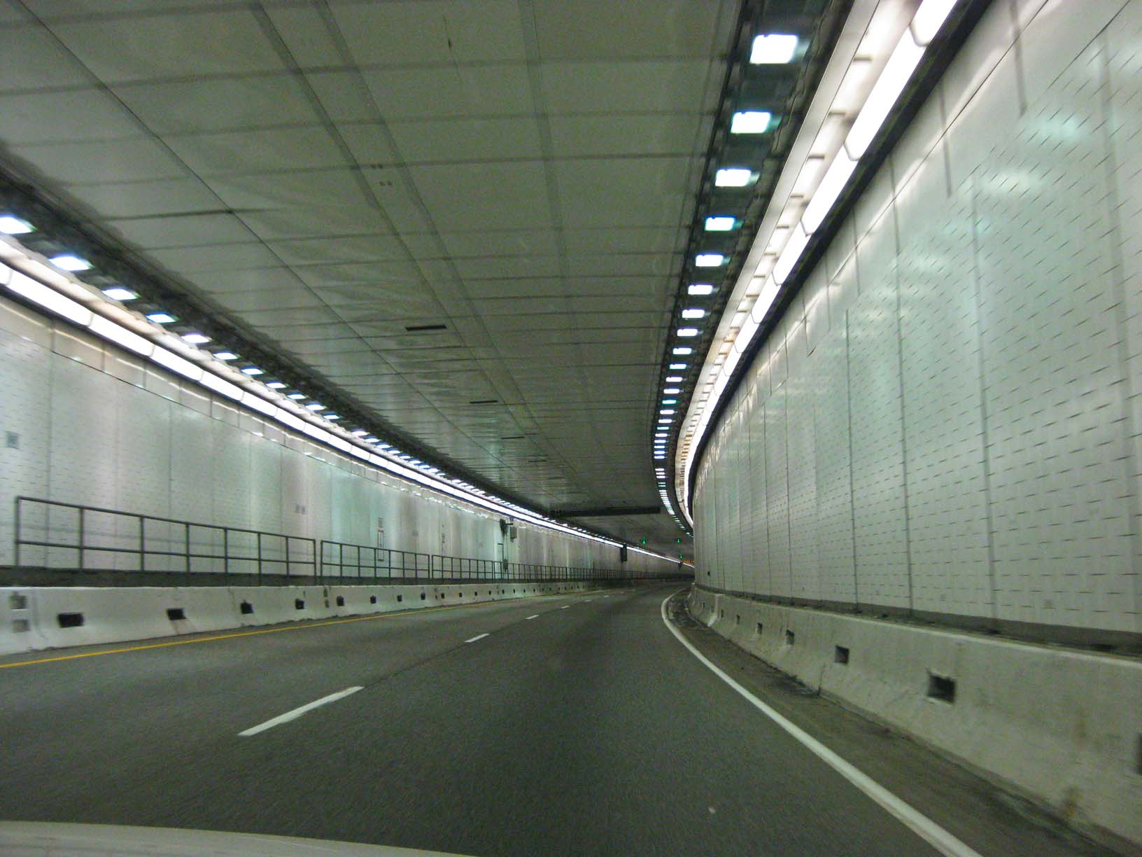
The over Berthoud Pass at over 11,000 feet and on to I-70, which we followed through the Eisenhower Tunnel and
over Vail Pass, then on through all of western Colorado to Grand Junction at its western edge. Next morning,
we set off for Utah. This was our shortest driving day of the trip. We were at the turn off for the short cut to
Moab by 9 am. We took this short cut (Utah Hwy 128) along the Colorado River, and it is one of the prettiest
roads I've driven, through beautiful red canyons on a narrow, twisting two-lane road. We were in Moab by late
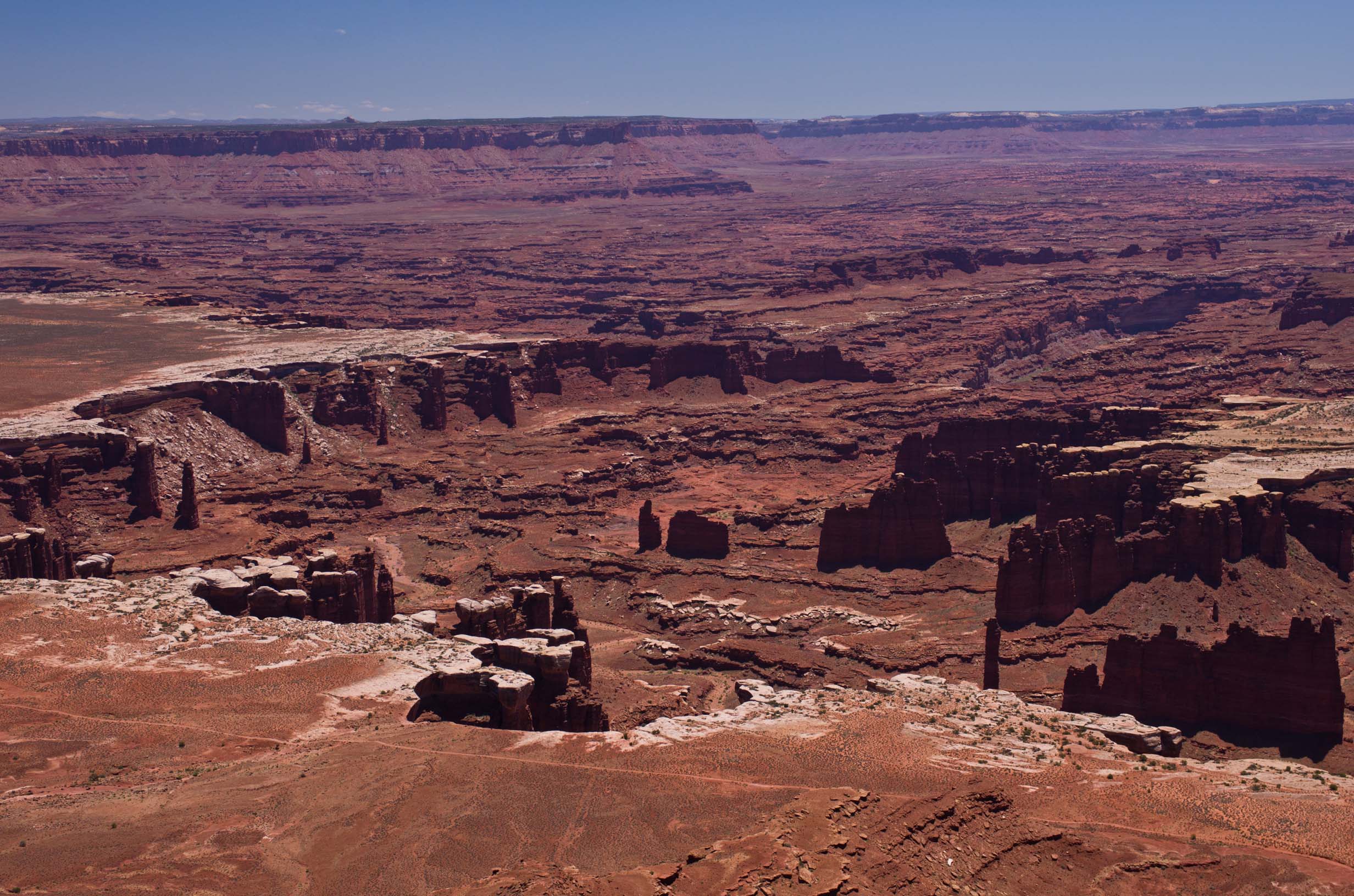
morning and we headed up the "Island in the Sky" in Canyonlands National Park, where we had lunch. We saw
the sights on Dead Horse Mesa in the National Park, and then headed back to Moab for the night.
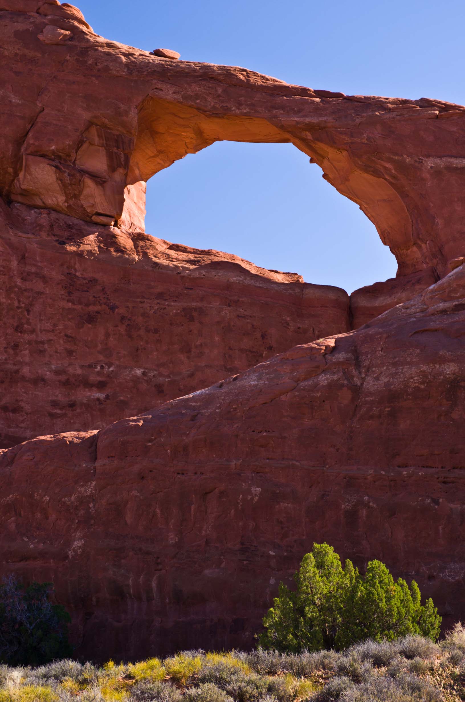
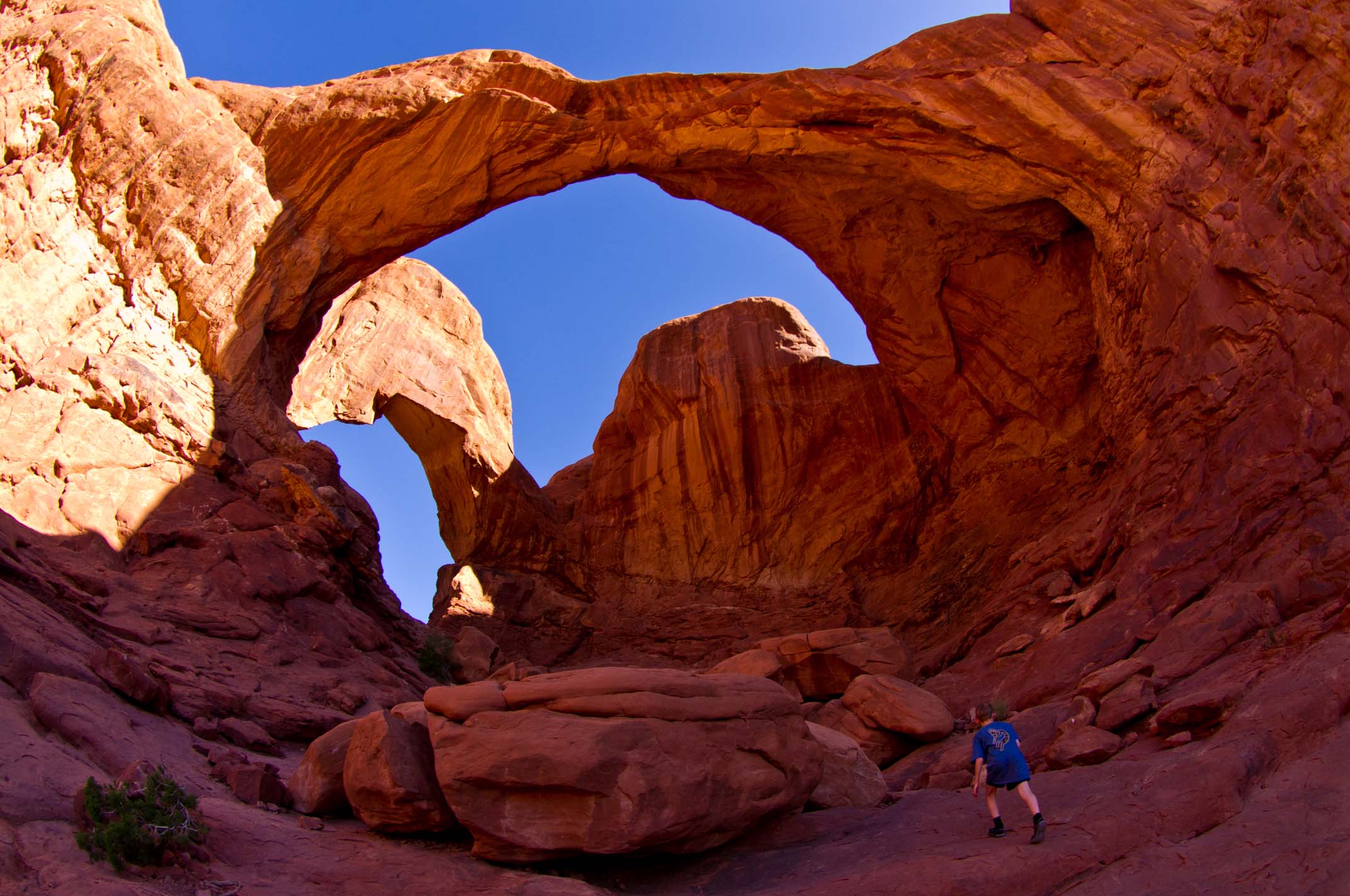
Again rising very early, we were among the first into Arches National Park the next morning, We saw Delicate Arch
(from the view point, no time for the hike), then hiked the short hikes to Skyline Arch and Double Arch.
It was great to see Delicate Arch before the crowds arrived. The it was off northwest across Utah, over the
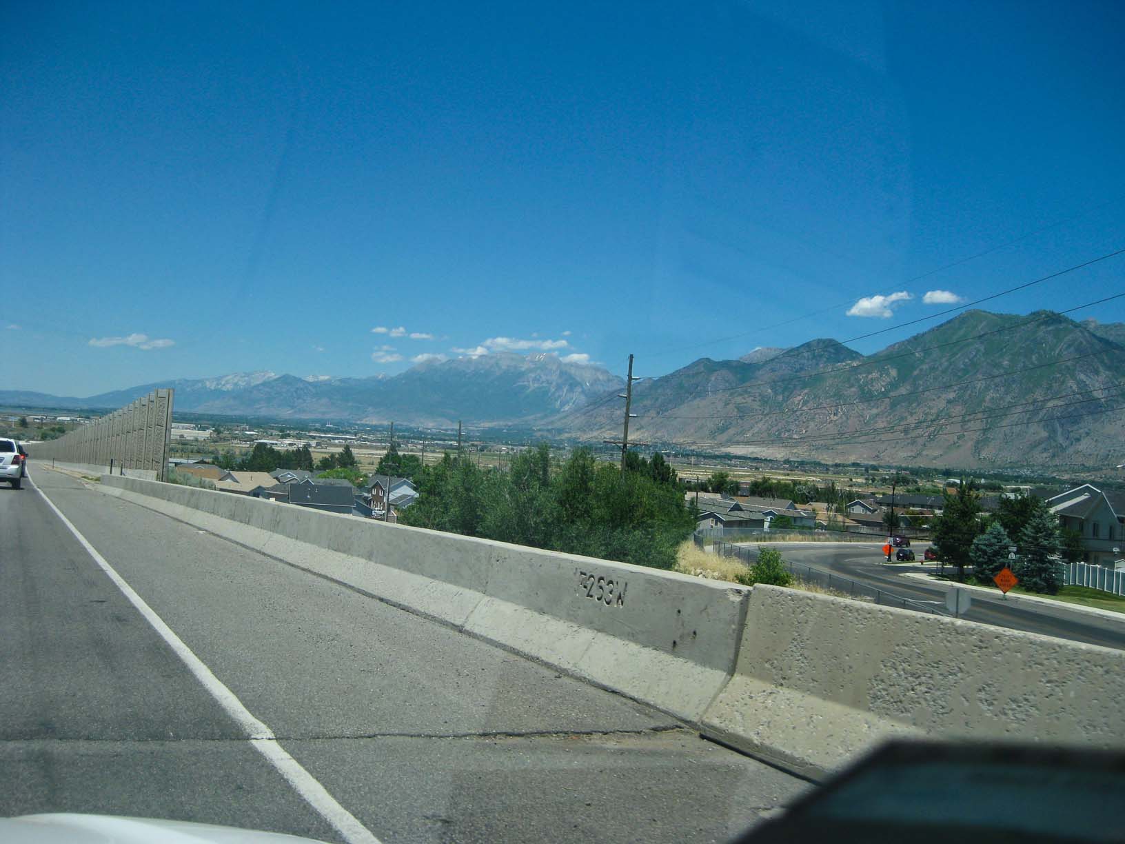
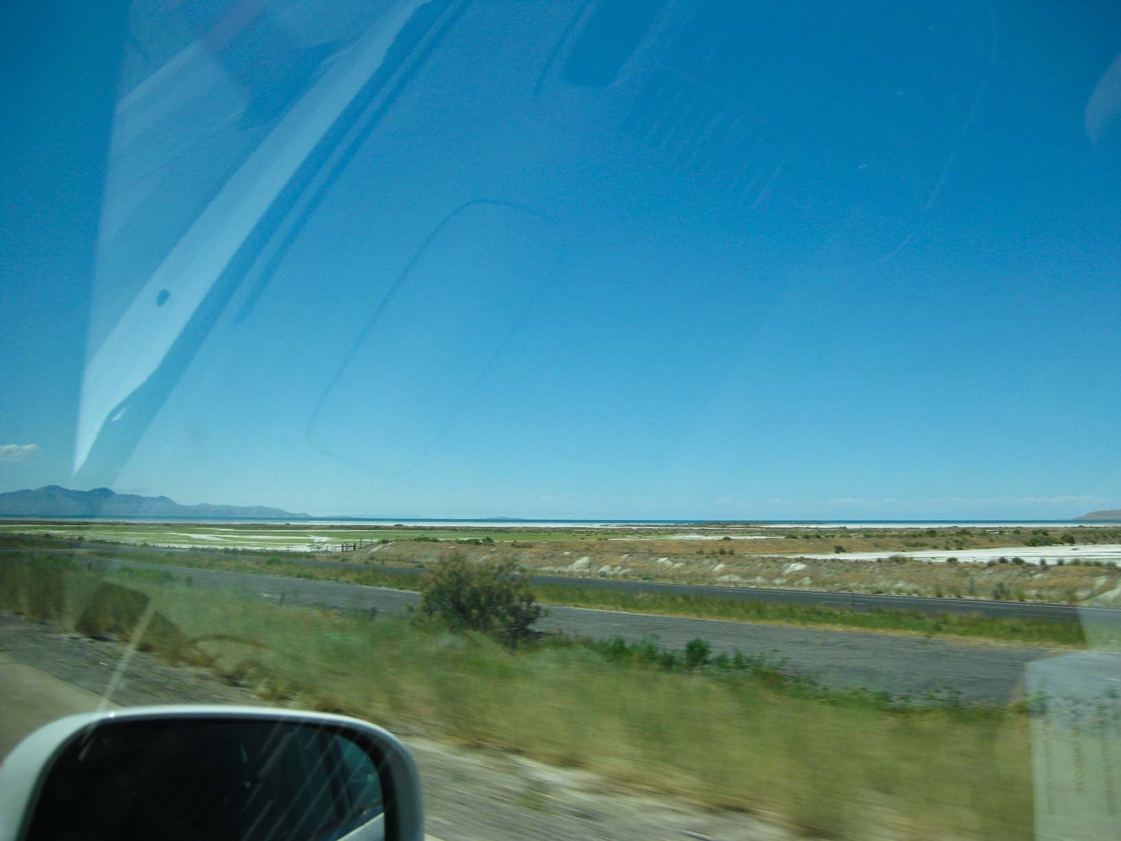
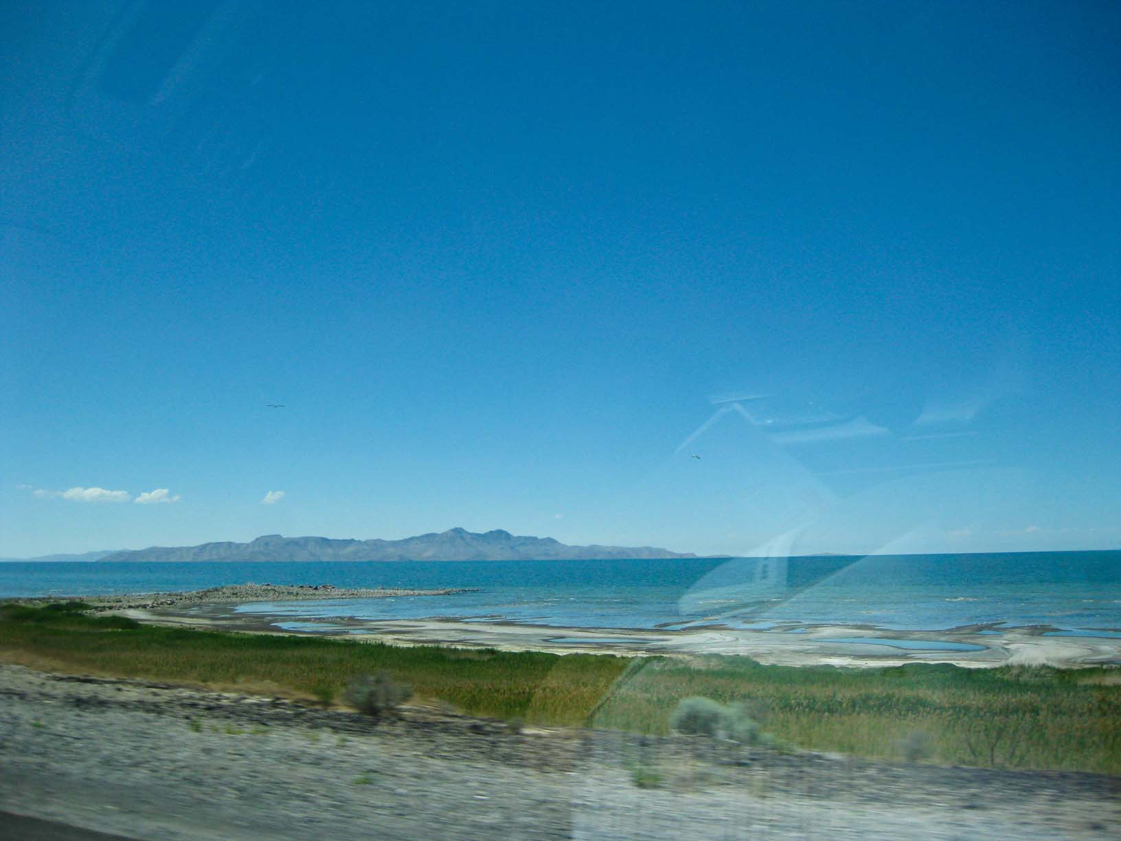
Wasatch Range and down into Salt Lake City to spend the night next to the Great Salt Lake. Up early again in the
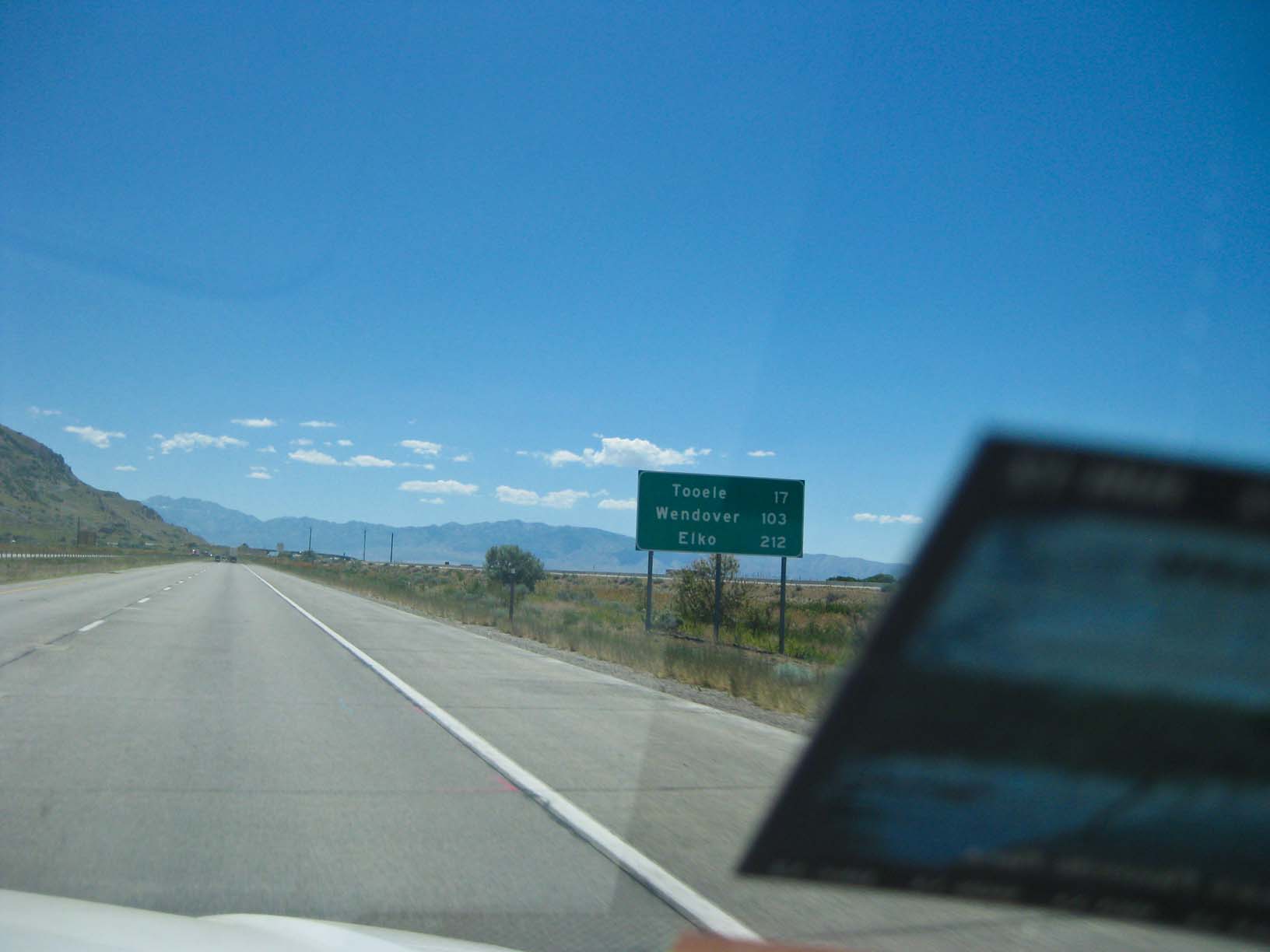
morning, we saw the Bonneville Salt Flats, which Jamie was very interested in because of the Bonneville Speedway,
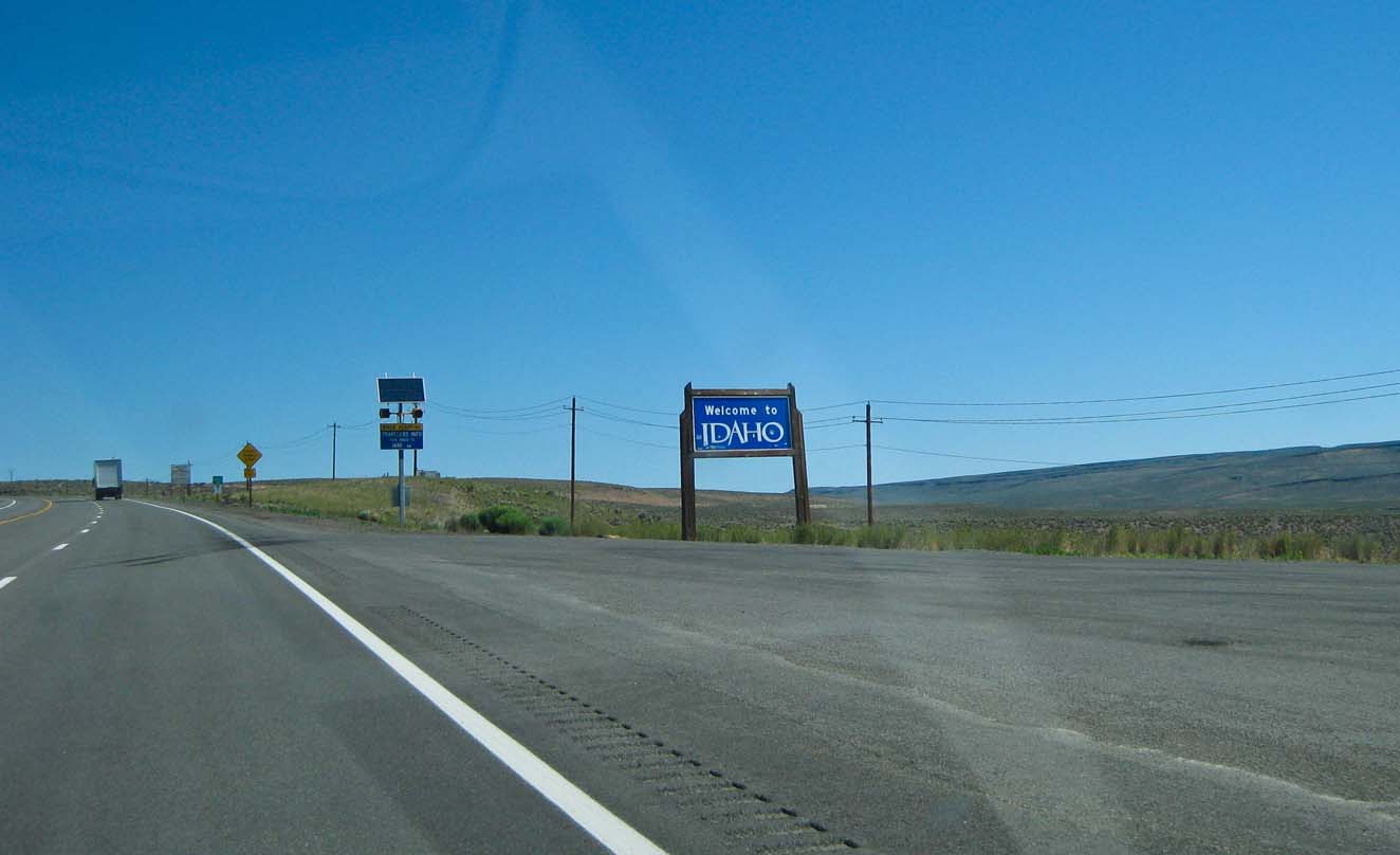
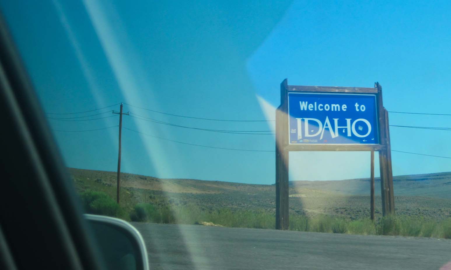
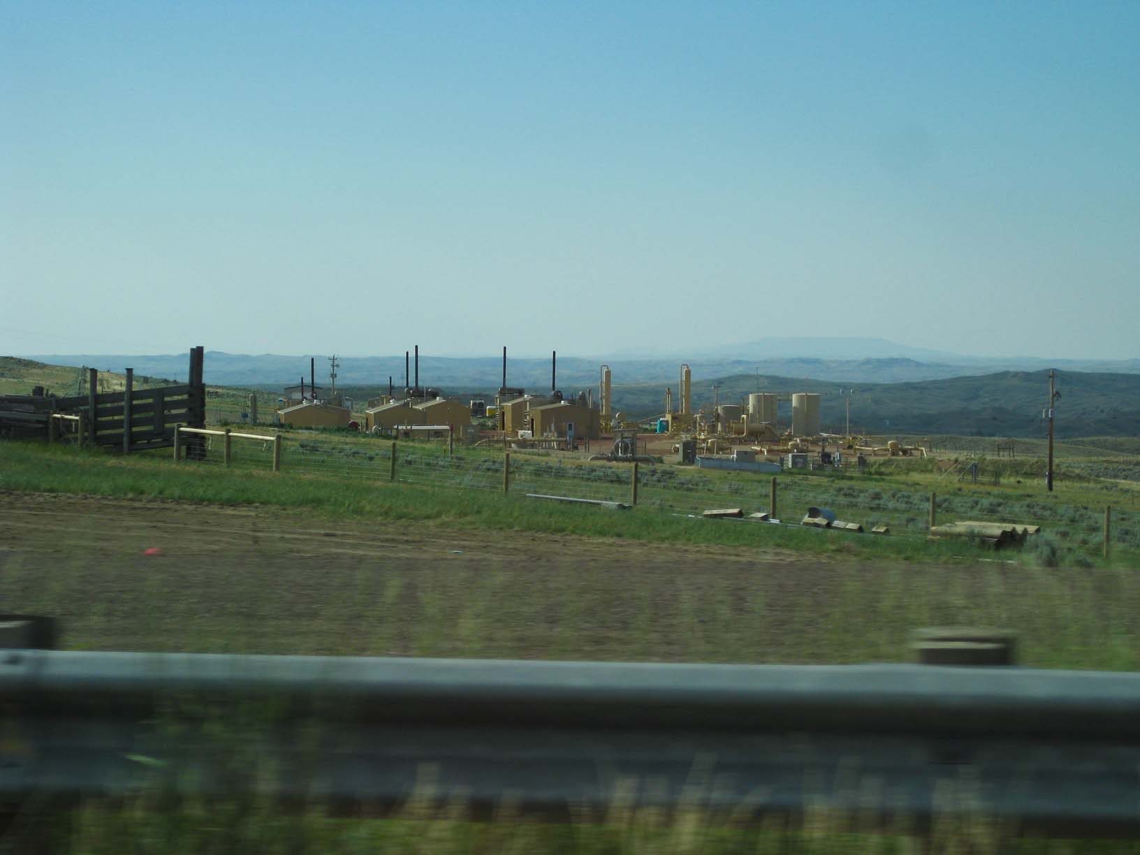
then across the northeastern corner of Nevada, and into Idaho in the Snake River Plain. We stopped at the
Hagerman Fossil Beds National Monument, then on to Mountain Home ID for the night (where they had
22-ounce Long Island Teas at the next door restaurant!)
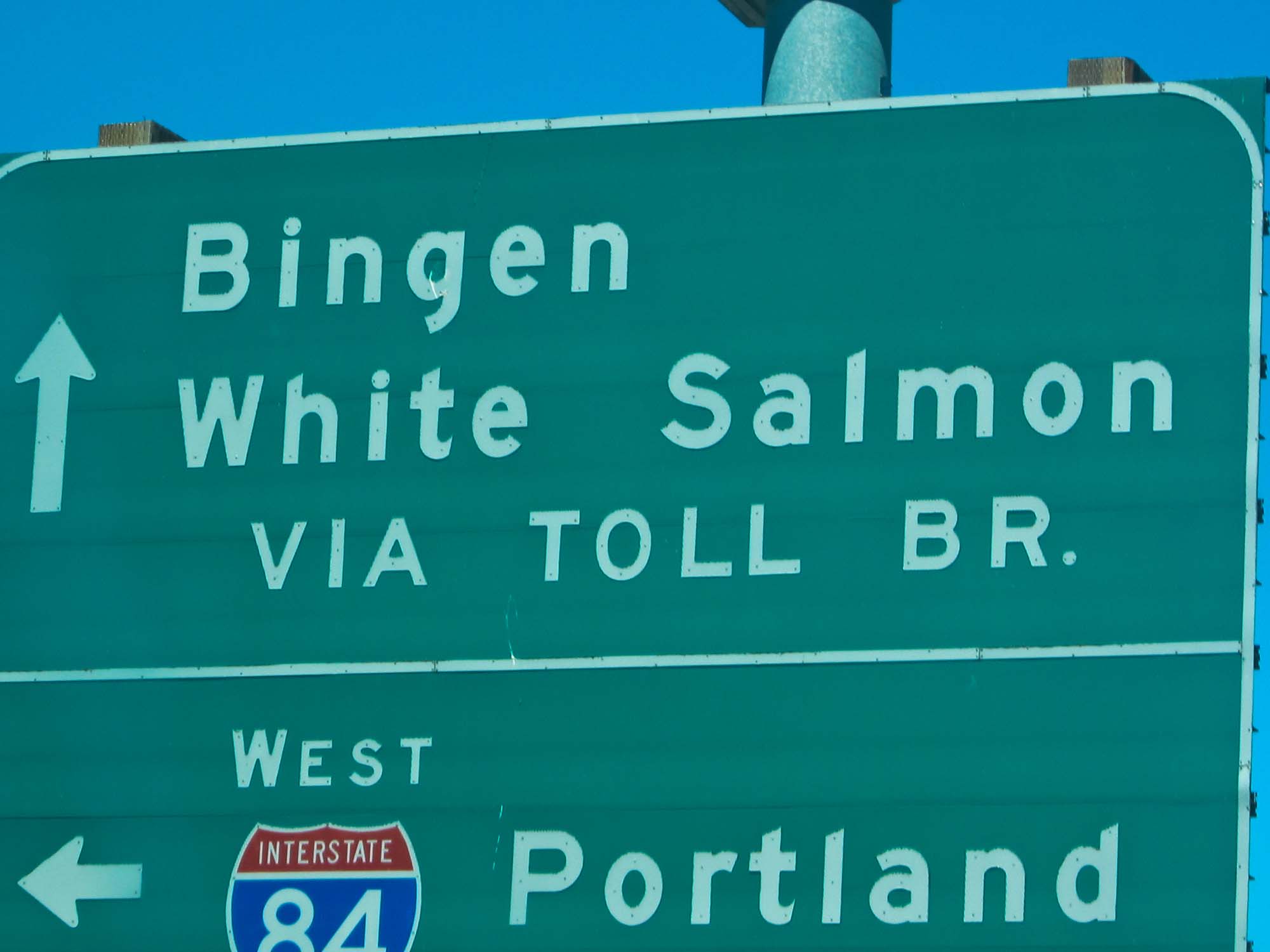
Up early the next morning for the final leg in to White Salmon, across the Snake River Plain, over the Blue
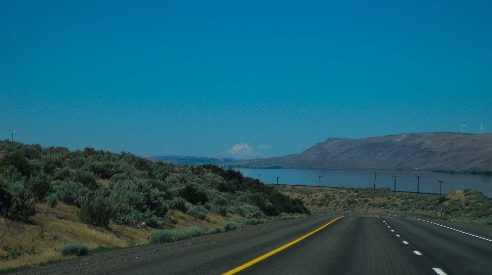
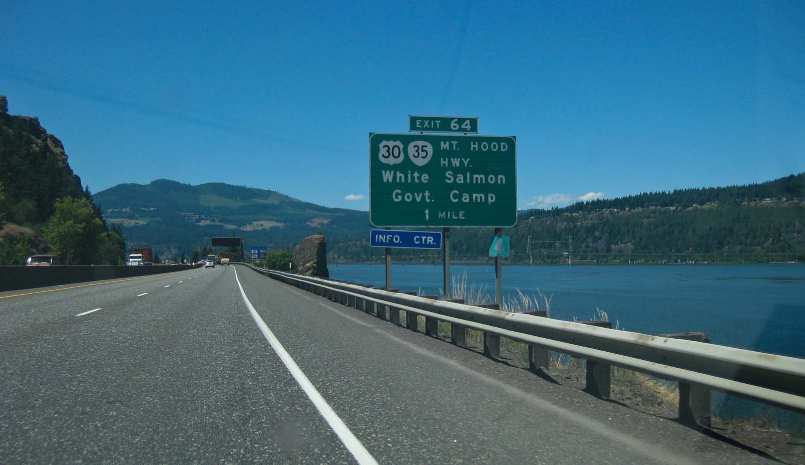
Mountains, and then down the Columbia Gorge to Hood River and White Salmon. In White Salmon, we
saw Jeanne and Steve, Eric and Allison, Ben, Gaye, and Cara, and David Brooks. Nannette flew out
and spent the time with us as well. And my Mom spent a week with us. We spent much time tearing down
the two sheds in the back of our place, continuing the clean up work near The Park, and generally cleaning up:
With much help from Steve, Nannette, and our neighbor Bruce. Thanks! We got the big shed, the one most
blocking the views, completely removed and the smaller one knocked down to ground level (for demolition
next year.)
Of course, we did our usual hiking and sight-seeing around the Gorge region. Gaye also discovered
Glassometry, and glass-making place near Hood River, where you can help make glass art. Jamie, Cara,
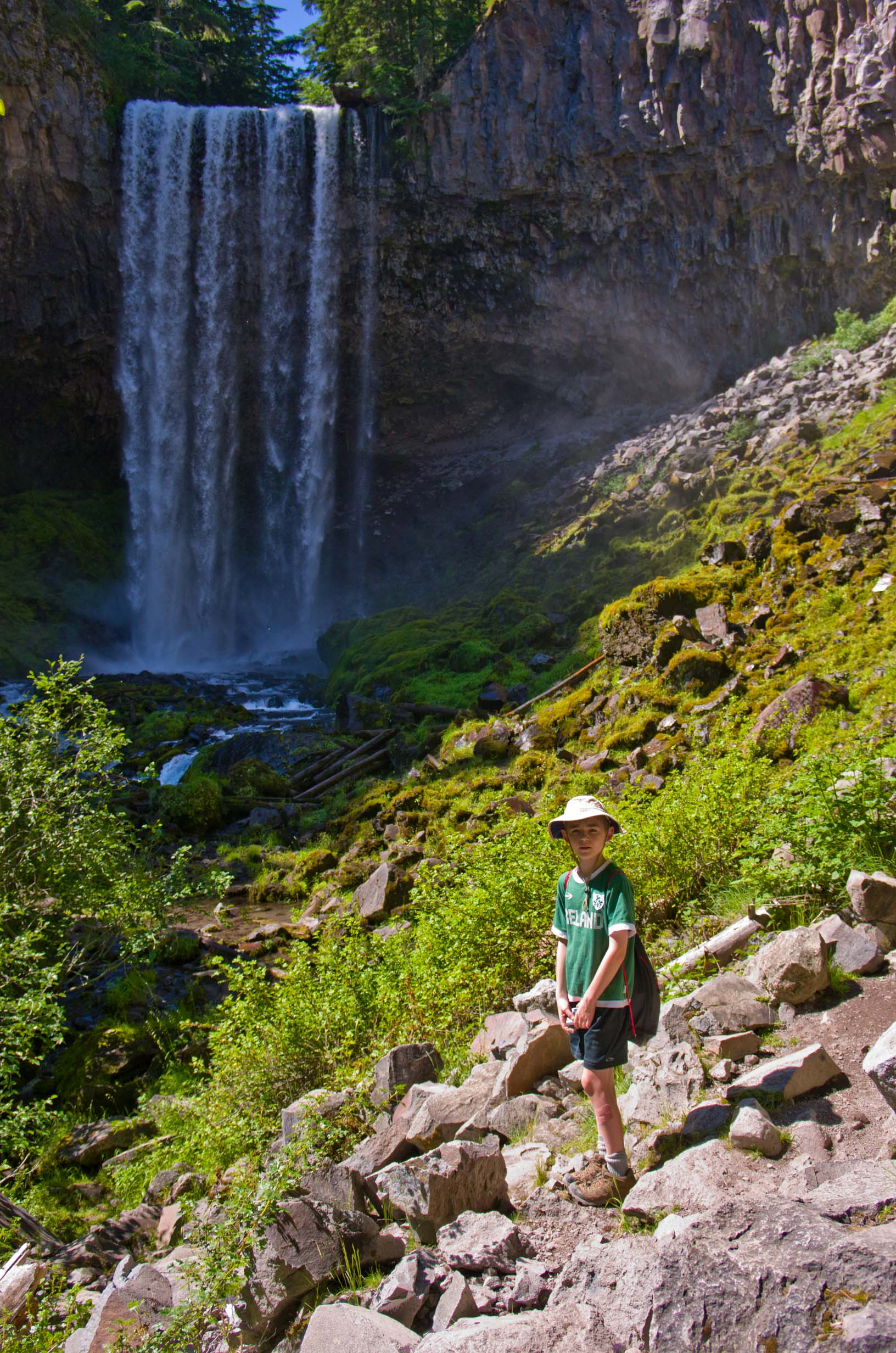
and Ben all made some glass. Jamie and I hiked to Lookout Mountain and Tamanawas Falls. It's perfectly
clear that he can easily out-hike us now! Jamie also got a larger (24-inch wheels) bike and really enjoyed
riding it around our and Jeanne and Steve's places. (He also graduated to a 24-inch bike at home in Shoreview
and no longer uses the after-burner behind my bike: He can bike with us now. He's proud of that!)
We made a few other improvements, including rearranging the interior of the house for better flow and
seating and bought two window/mobile air conditioners which came in handy a couple of days. And
we got a new King-sized bed for the master bedroom. This allowed us to move the queen to the back
bedroom and to move the nice full sized bed to the middle bedroom, so that all the rooms have high-quality
mattresses now.
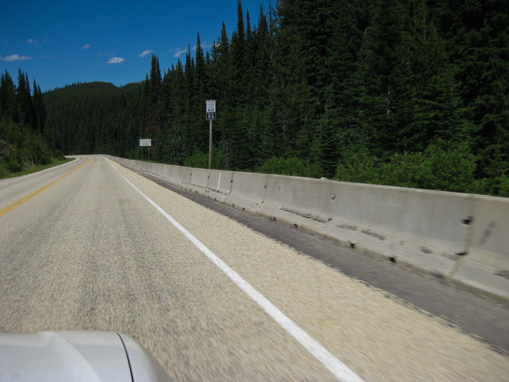
Too soon it was time to turn back towards home. We headed back up the Gorge, then east through Walla Walla
on US 12, then on to Clarkston and Lewiston, There US 12 picks up the Clearwater River in Idaho and follows
it upstream to its confluence with the Lochsa River, which the road then follows to Lolo Pass and Montana.
Between Lewiston and Lolo Pass, the road covers over 85 miles, every bit of it sharp bends. Generally, the
speed limit is 45. By the time you hit Lolo Pass and a straighter, faster road, you are well tired of the winding
road, even though it is very beautiful. Over Lolo Pass, we drove on to Missoula for the night. Very happy to
get oout of the car!
The next morning, we were up early again and off down I-90, which we followed for most of the rest of the trip.
We by-passed Yellowstone National Park (no time) and drove on to Sheridan, Wyoming for the night. The most
striking thing about this drive across the high plains was how green it was. I've never seen these areas this green,
regardless of the time of year. They must have a long, cool, damp spring and early summer. Good news after
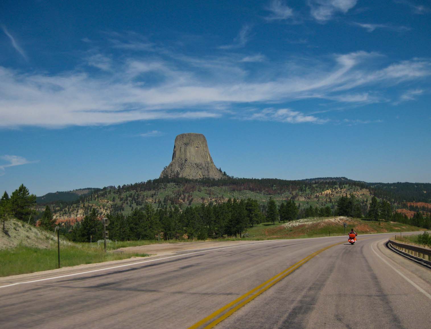
the bad drought last summer. From Sheridan, we drove to Devils Tower and then skirted the Black Hills to
sepdn the night in Wall, South Dakota (I finally set foot in Wall Drug), where we enjoyed the pool in 95+°F
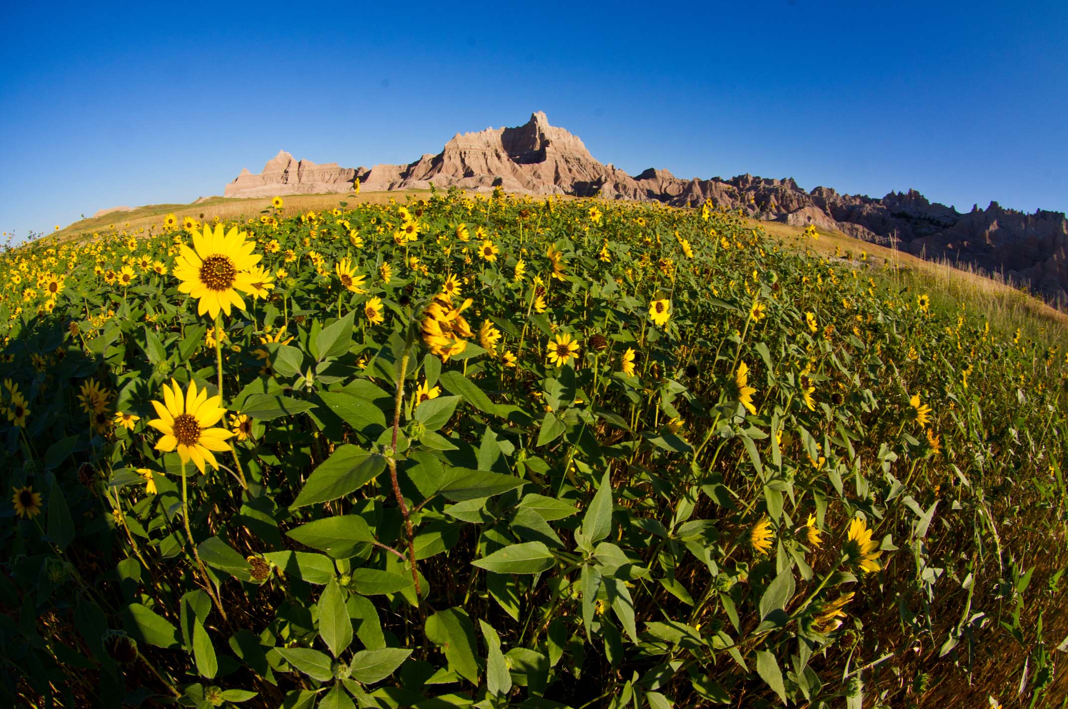
temperatures. Then it was up before dawn to see the sun rise over the Badlands and a tour through Badlands
National Park, which included a close encounter with a bighorn sheep that was right at the edge of the road.
Then back on I-90 for the long slog across South Dakota and Minnesota to home. I couldn't drive that car
for a few days after we got home! I drove the truck to work for the first few days. (I was thoroughly sick
of being in that car!)
|
|
|
|
|
|
|
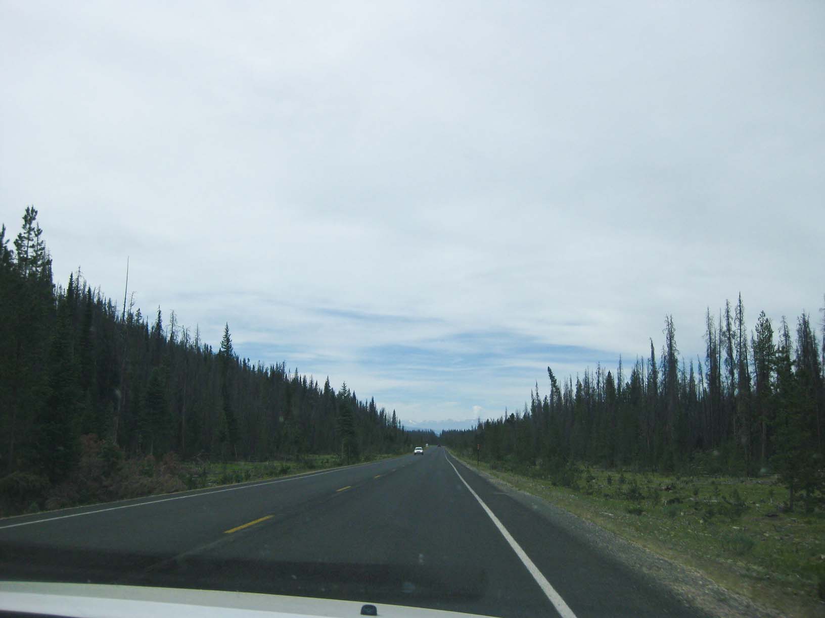
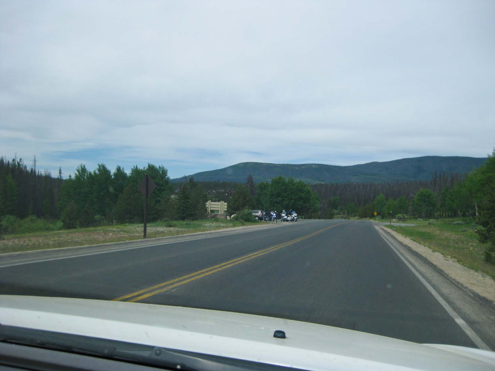
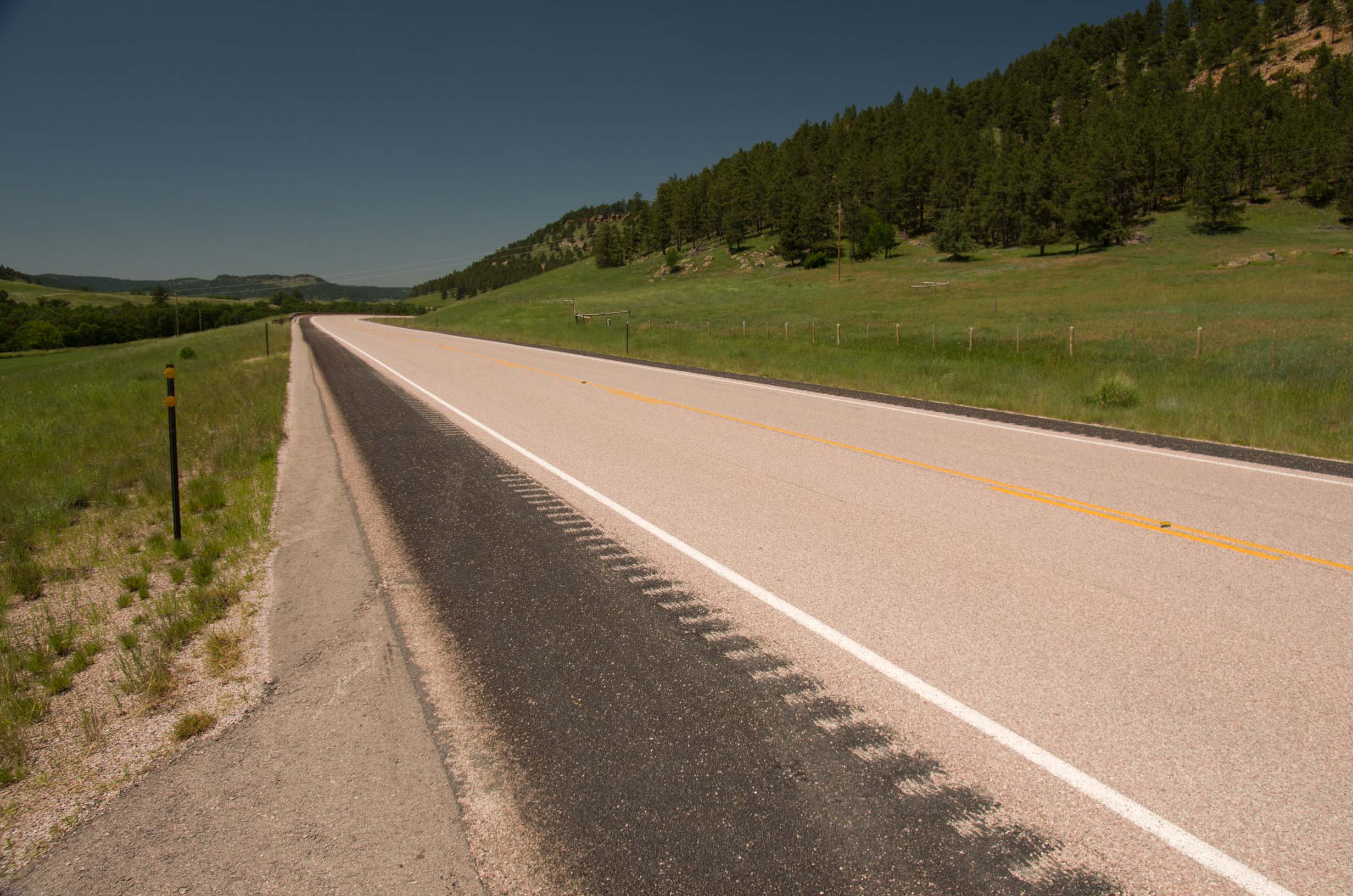
On the road again ... |
You can see a slide show of the entire road trip here |
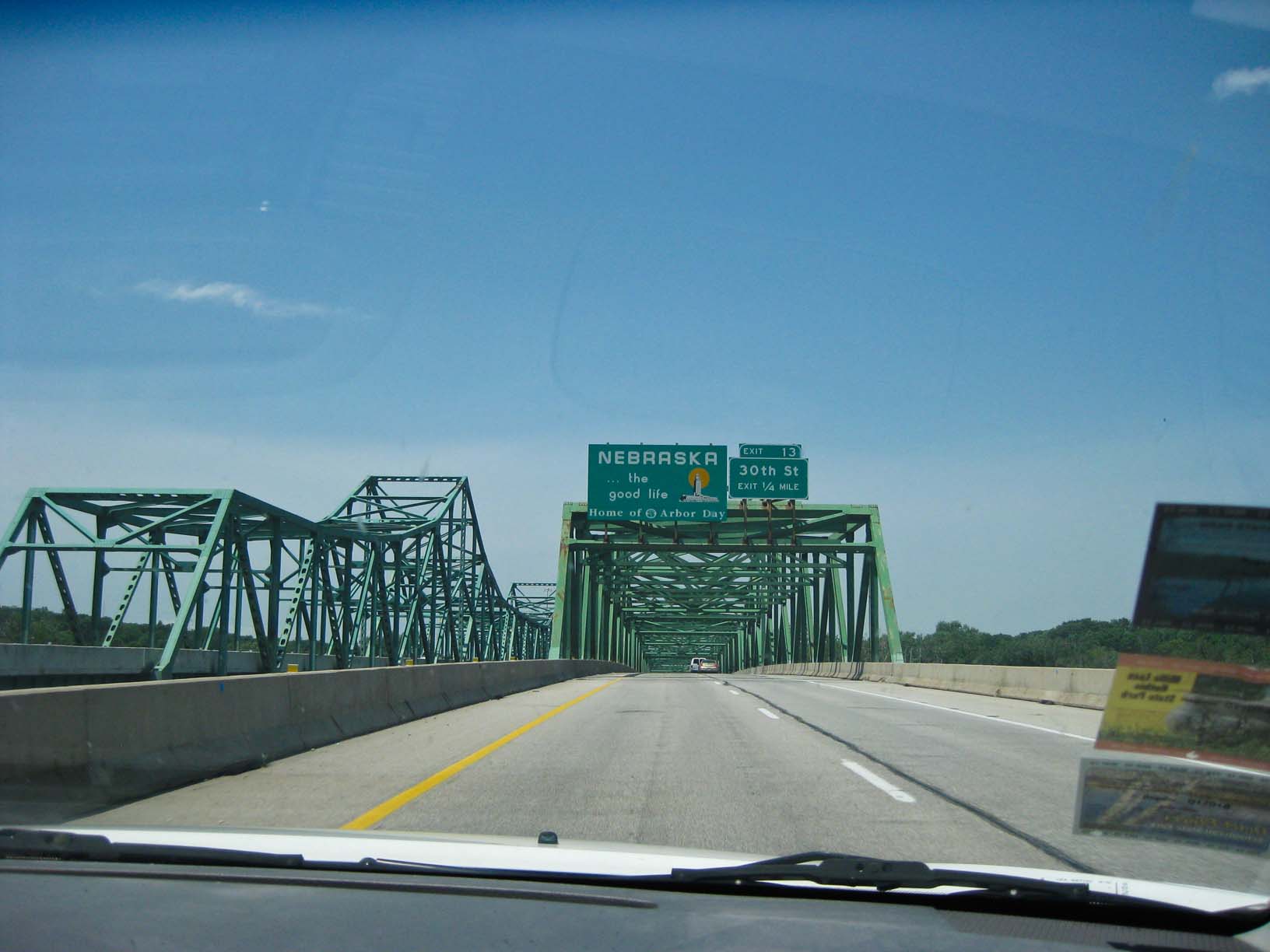
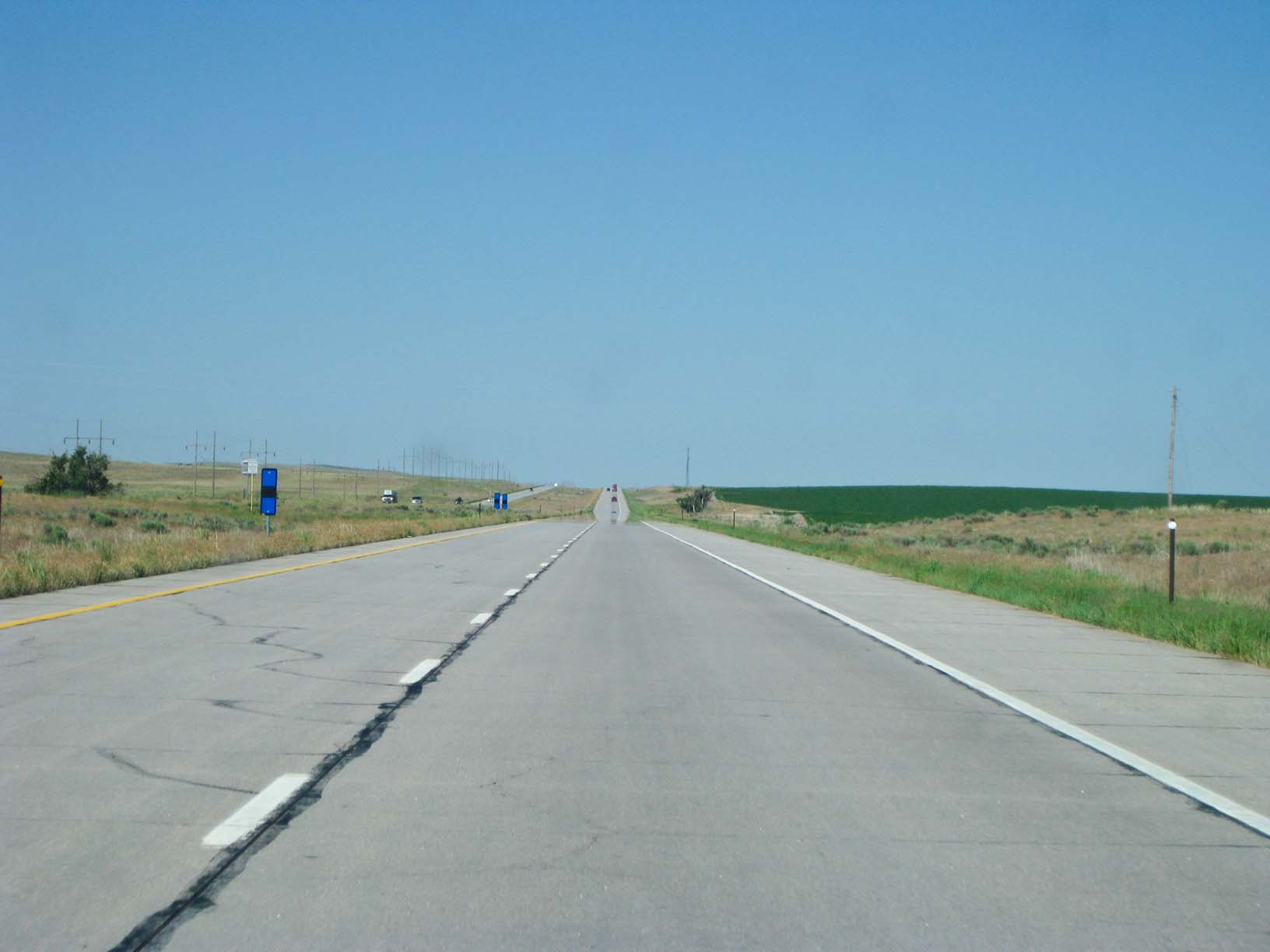
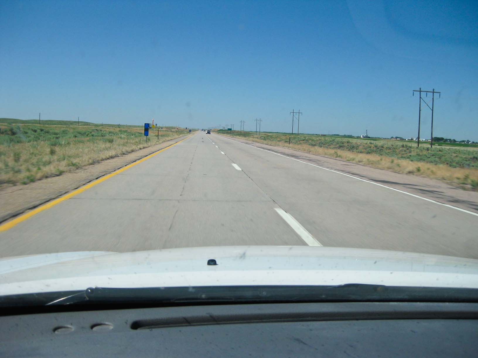
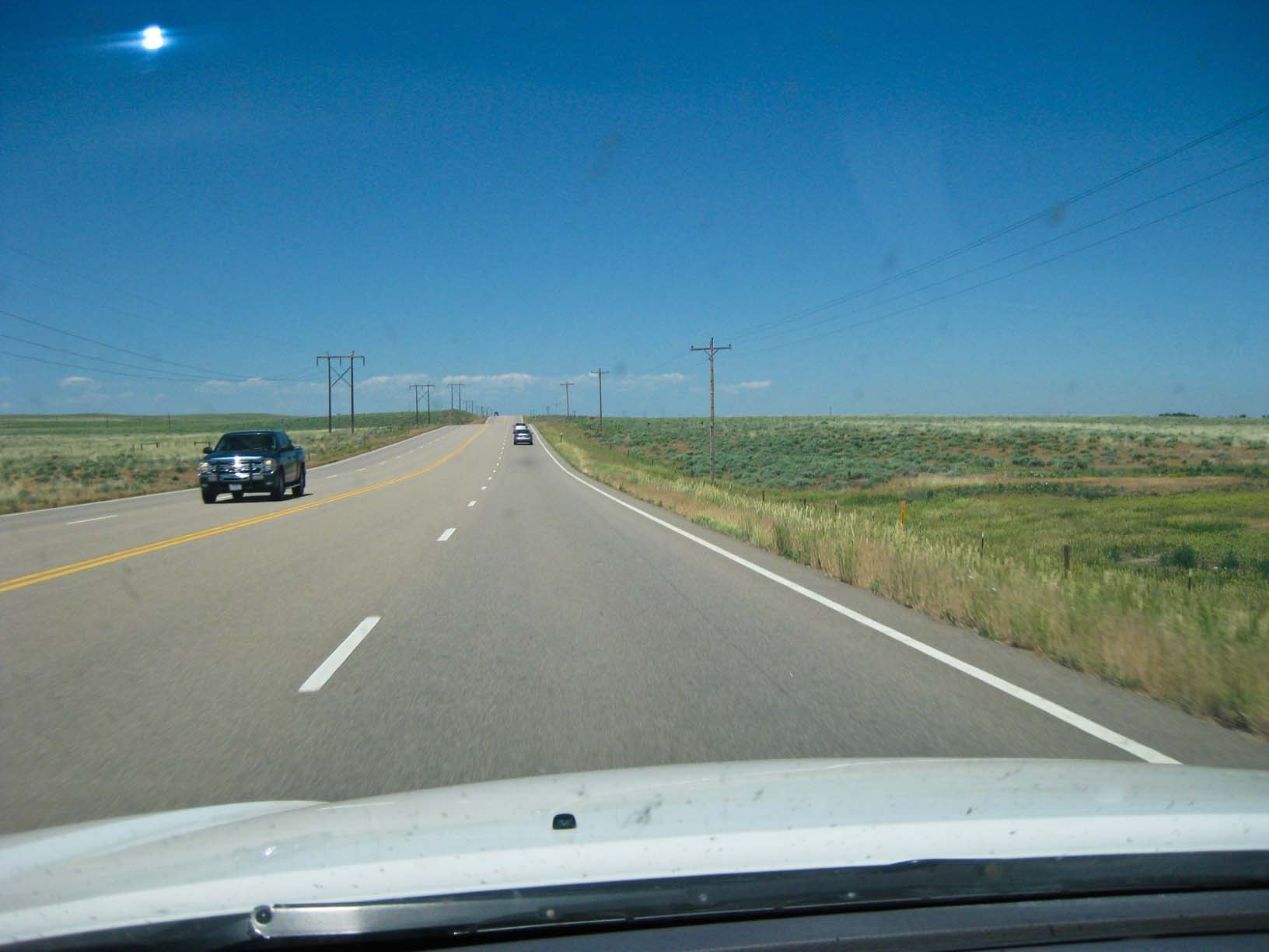
Nebraska |
Nebraska |
Nebraska |
|
|
|
|
|
|
|
Nebraska |
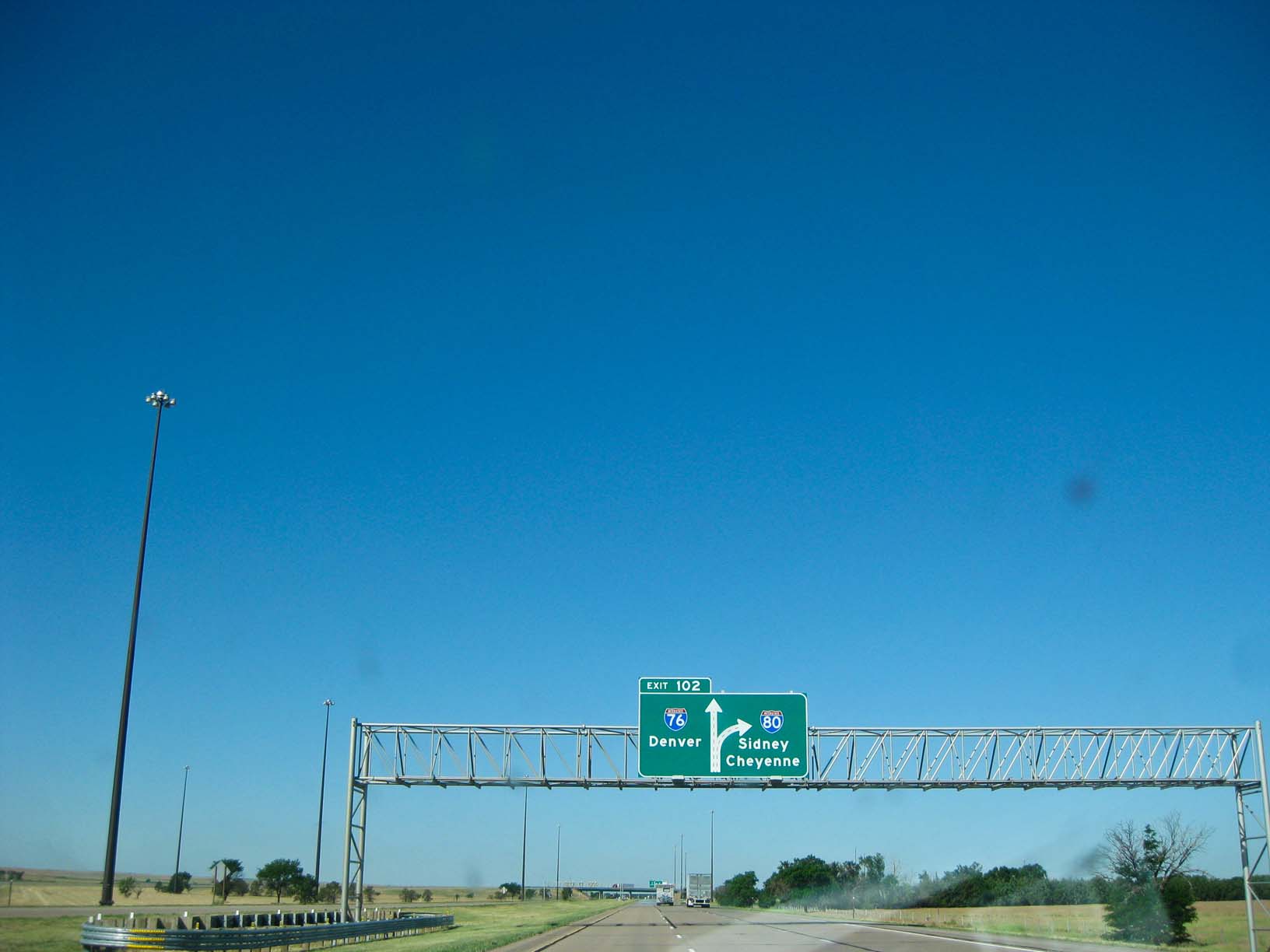
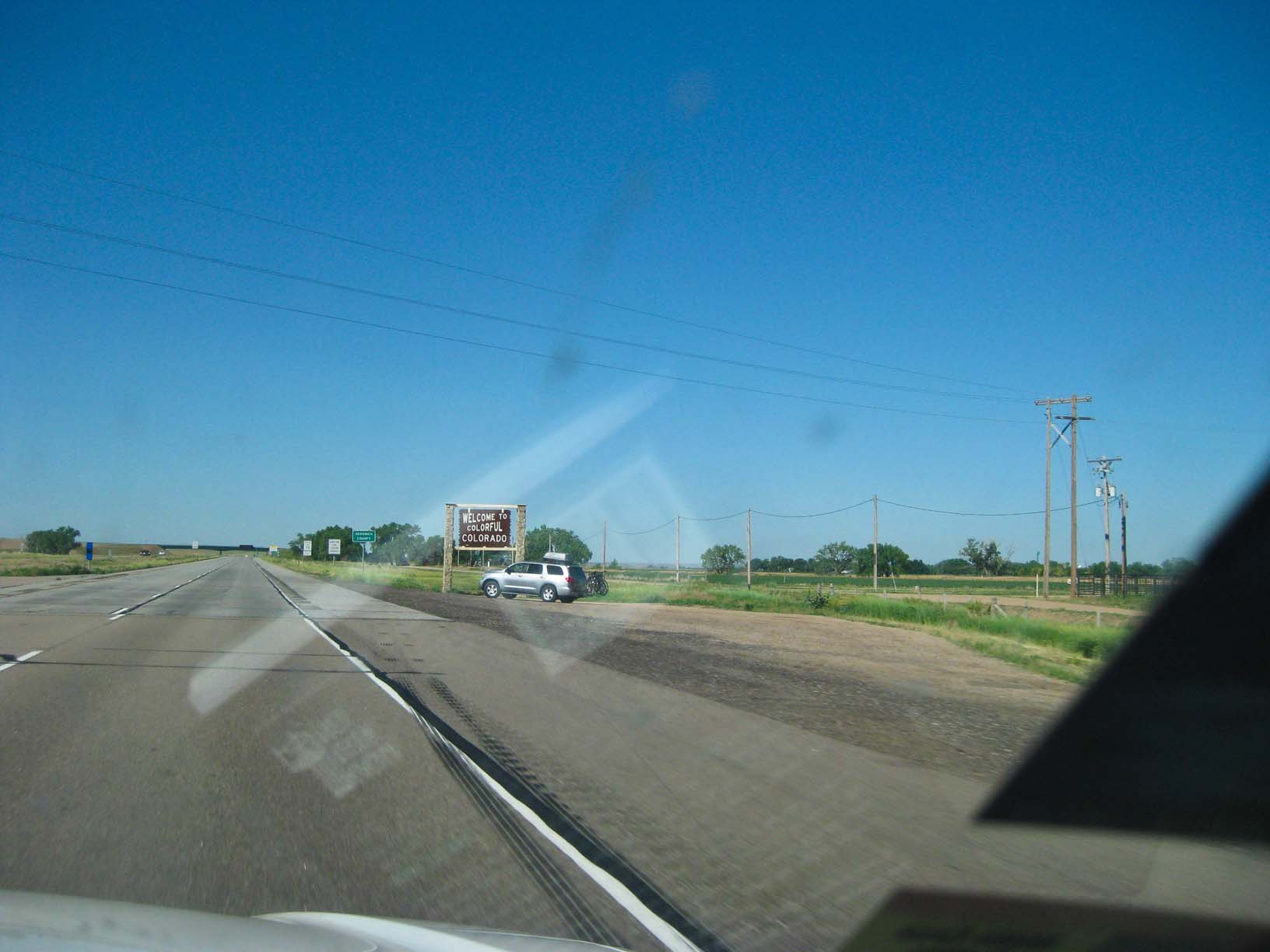
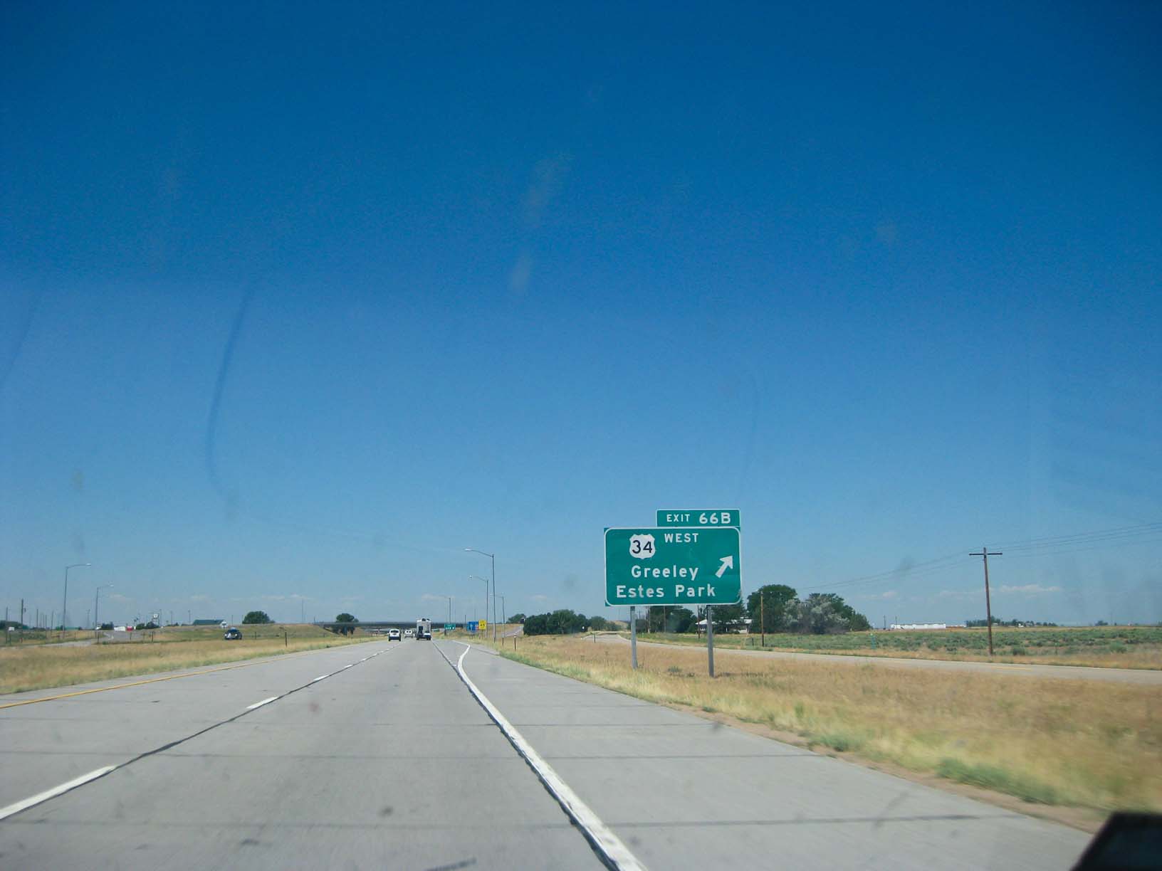
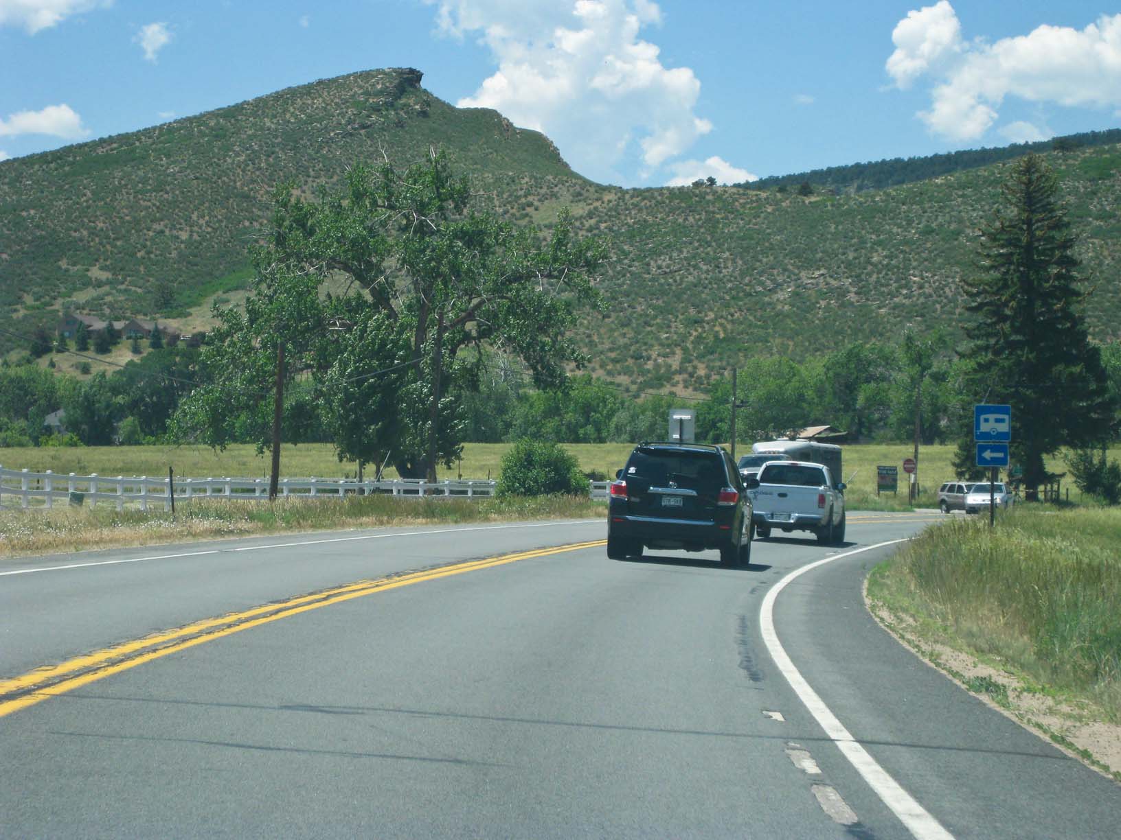
Into Colorado |
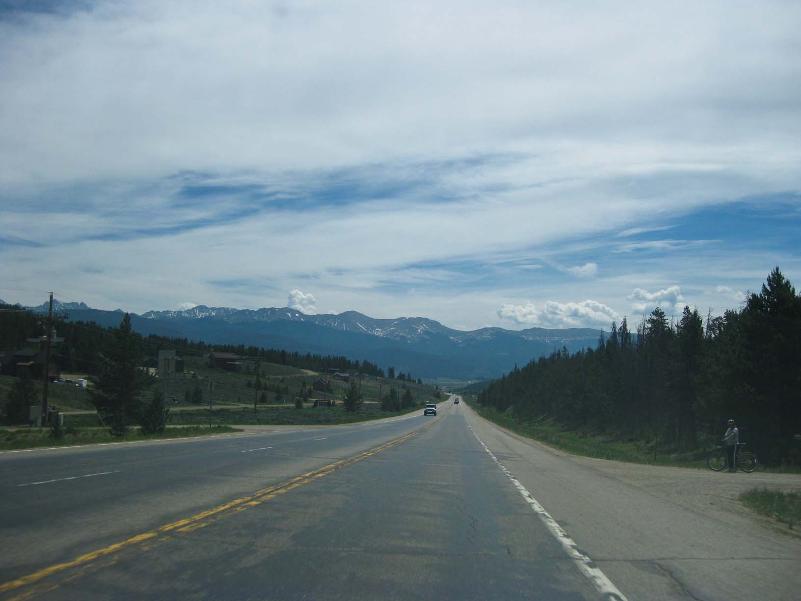
Eastern Colorado, Rockies just on the horizon |
Eastern Colorado, approaching the Rockies |
|
|
|
|
|
|
|
|
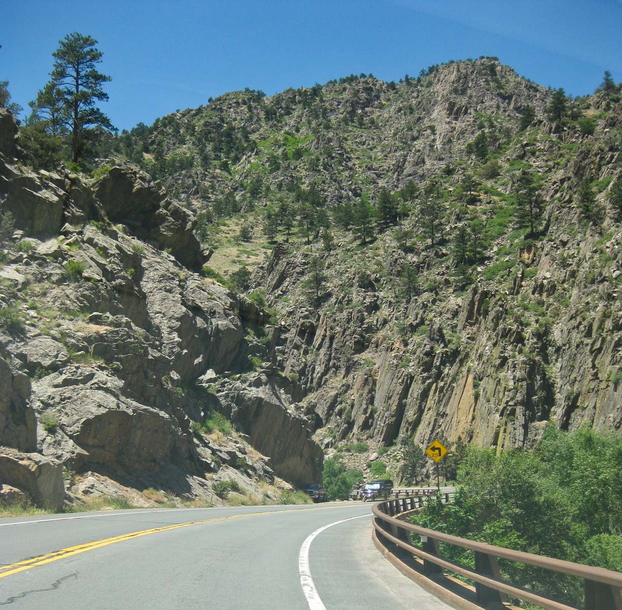
Into the Big Thompson River Gorge |
Into the Big Thompson River Gorge |
Jamie spotted one bighorn sheep in the Big Thompson River Gorge and we stopped. There was a whole herd of them! |
|
|
|
|
|
|
|
|
|
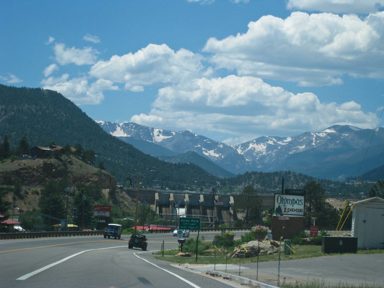
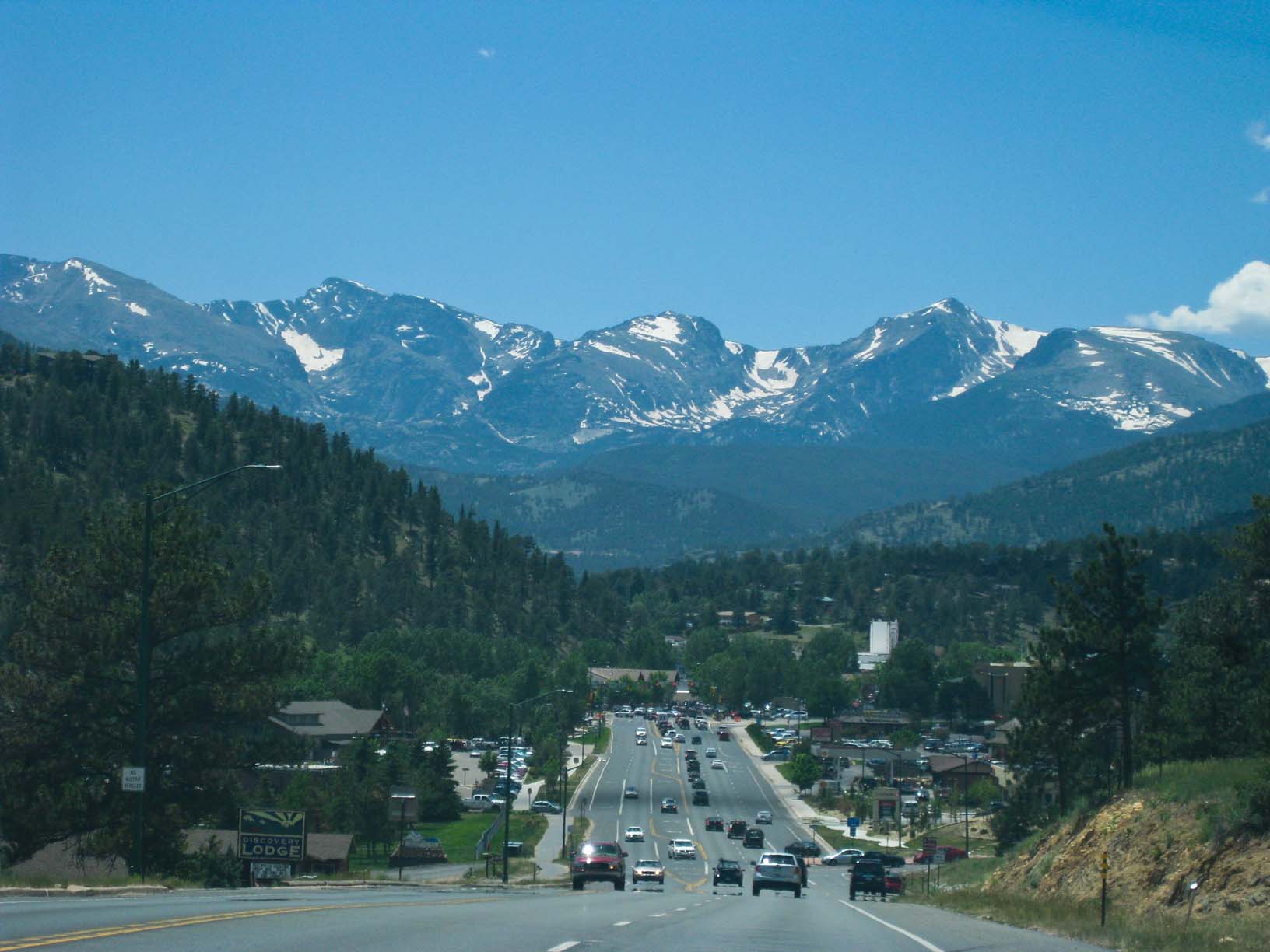
Coming into Estes Park, CO |
Estes Park |
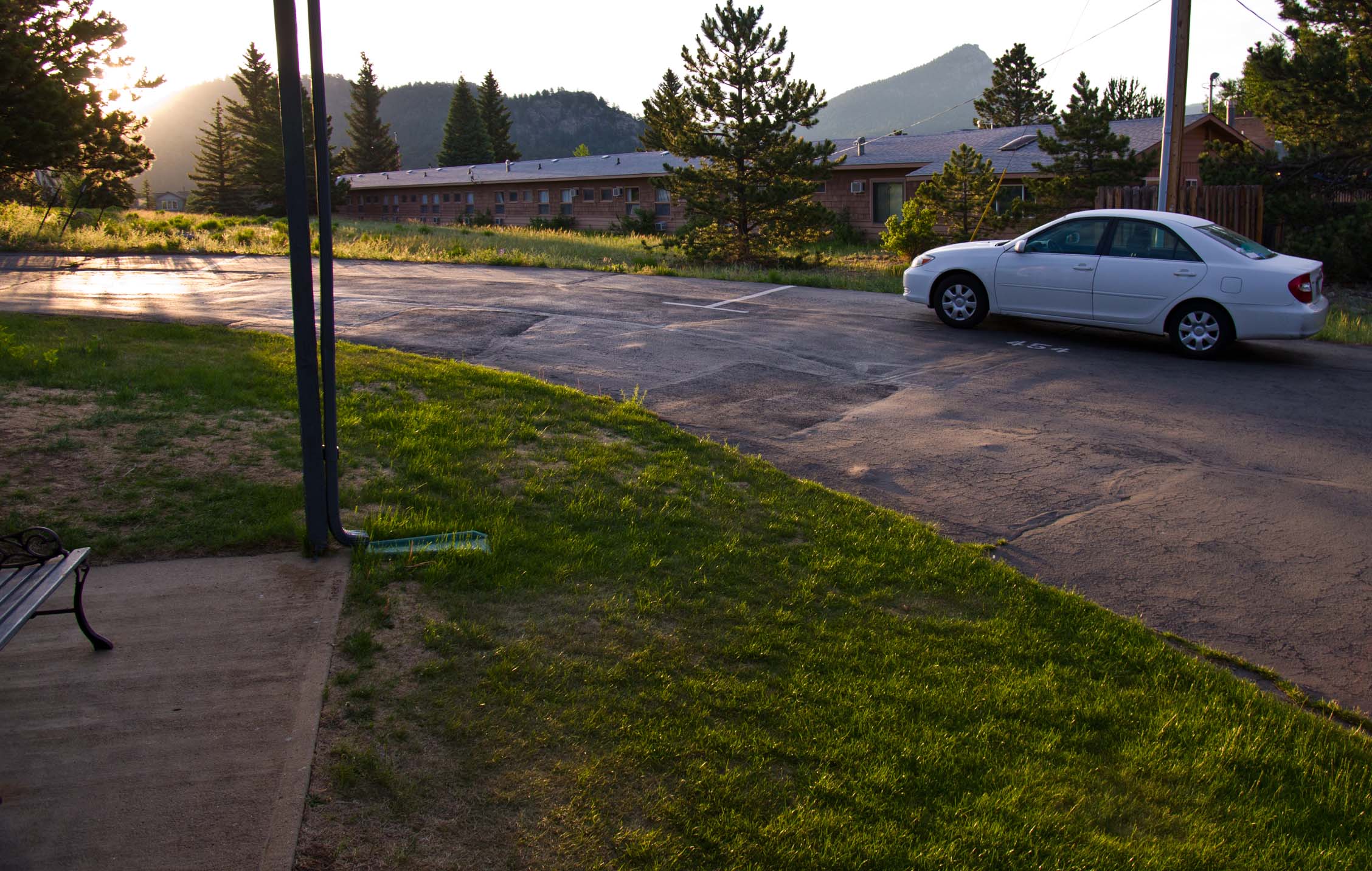
Early the next mornign at the hotel, leaving |
|
|
|
|
|
|
|
|
|
|
|
Some of Jamie's photos of RMNP |
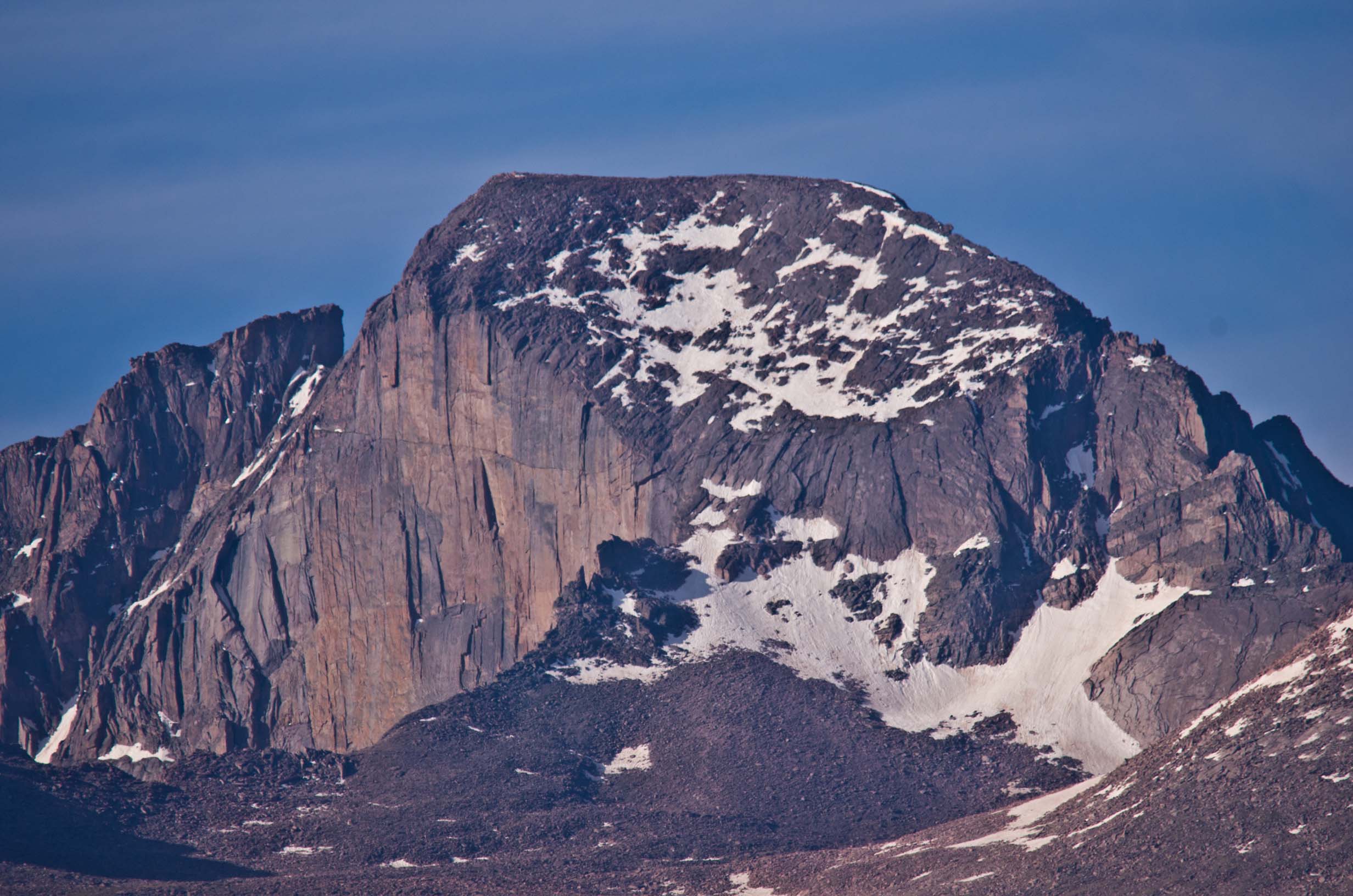
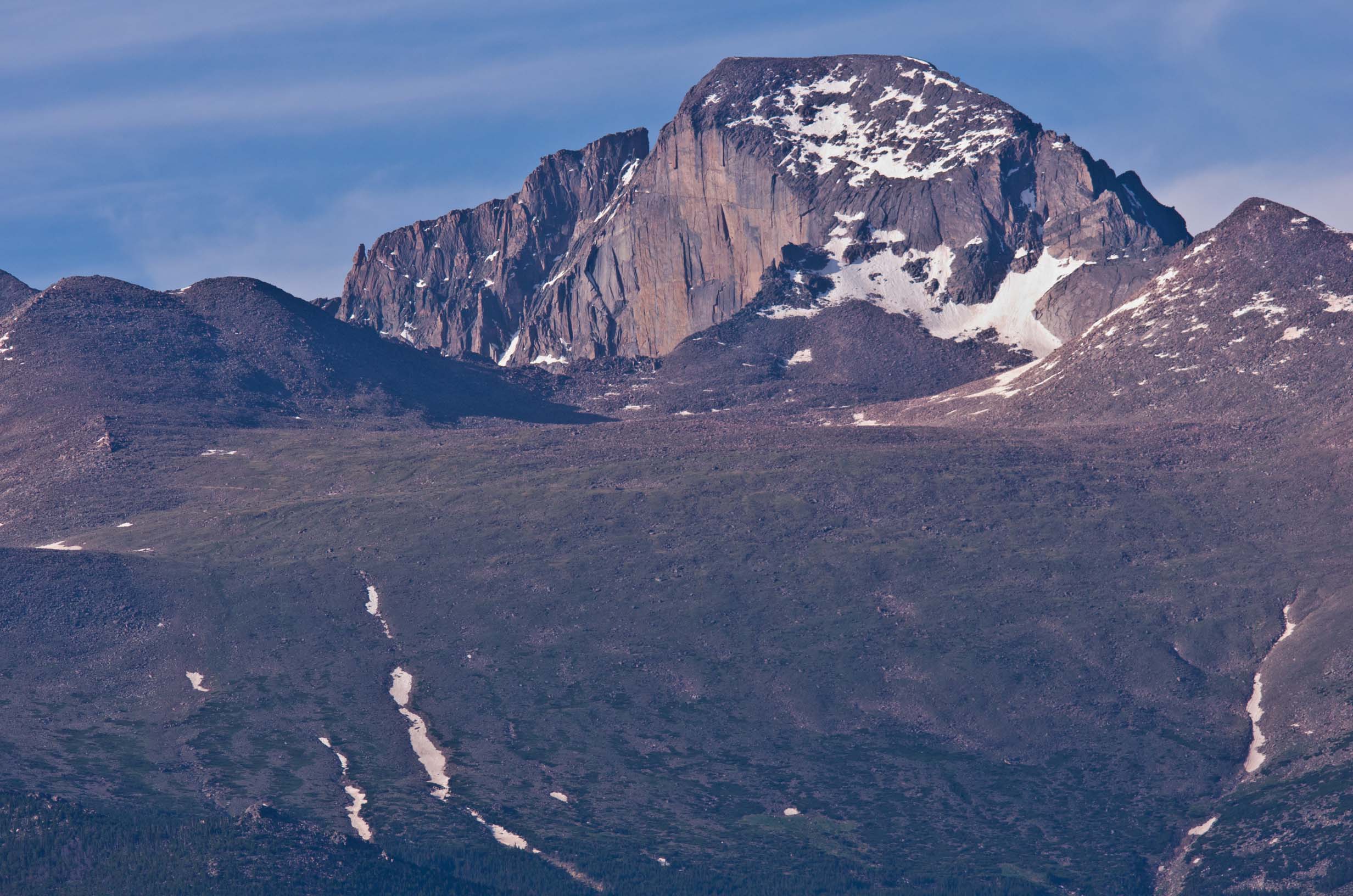
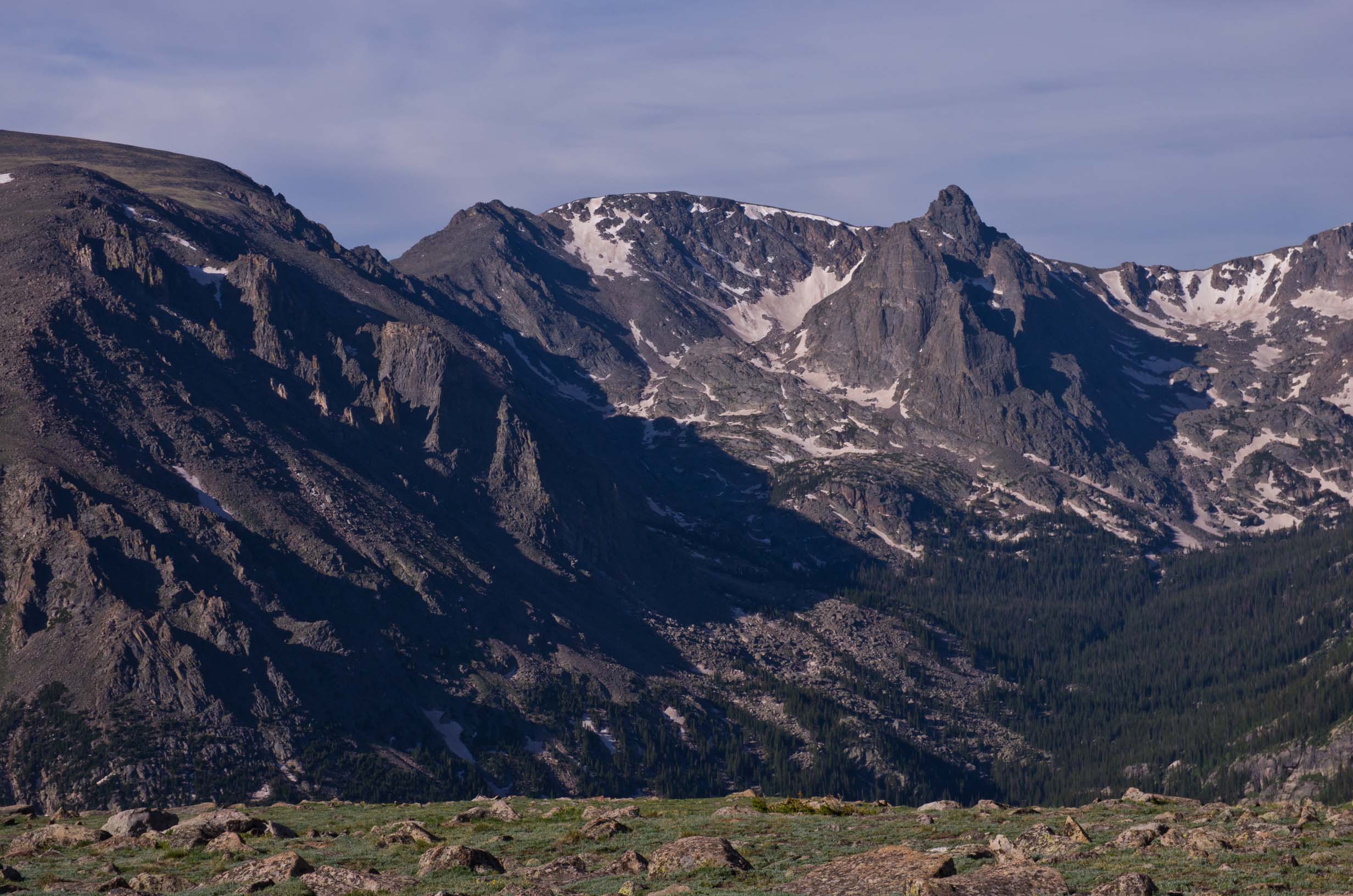
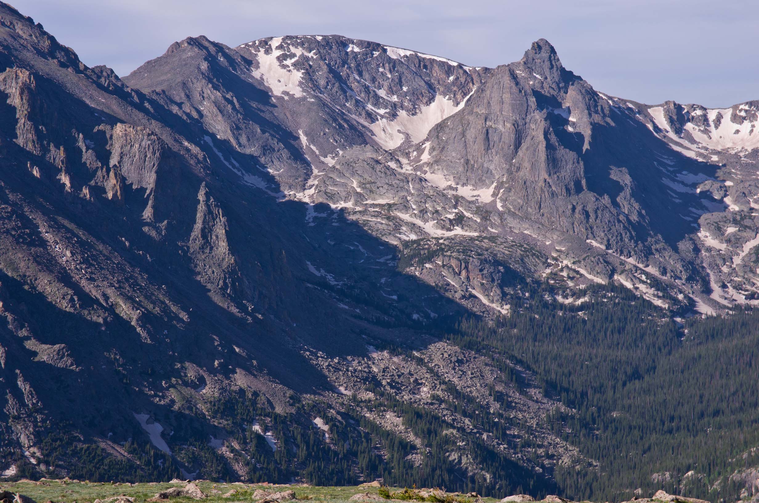
Long's Peak and the Diamond Face |
|
|
|
|
|
|
|
|
|
|
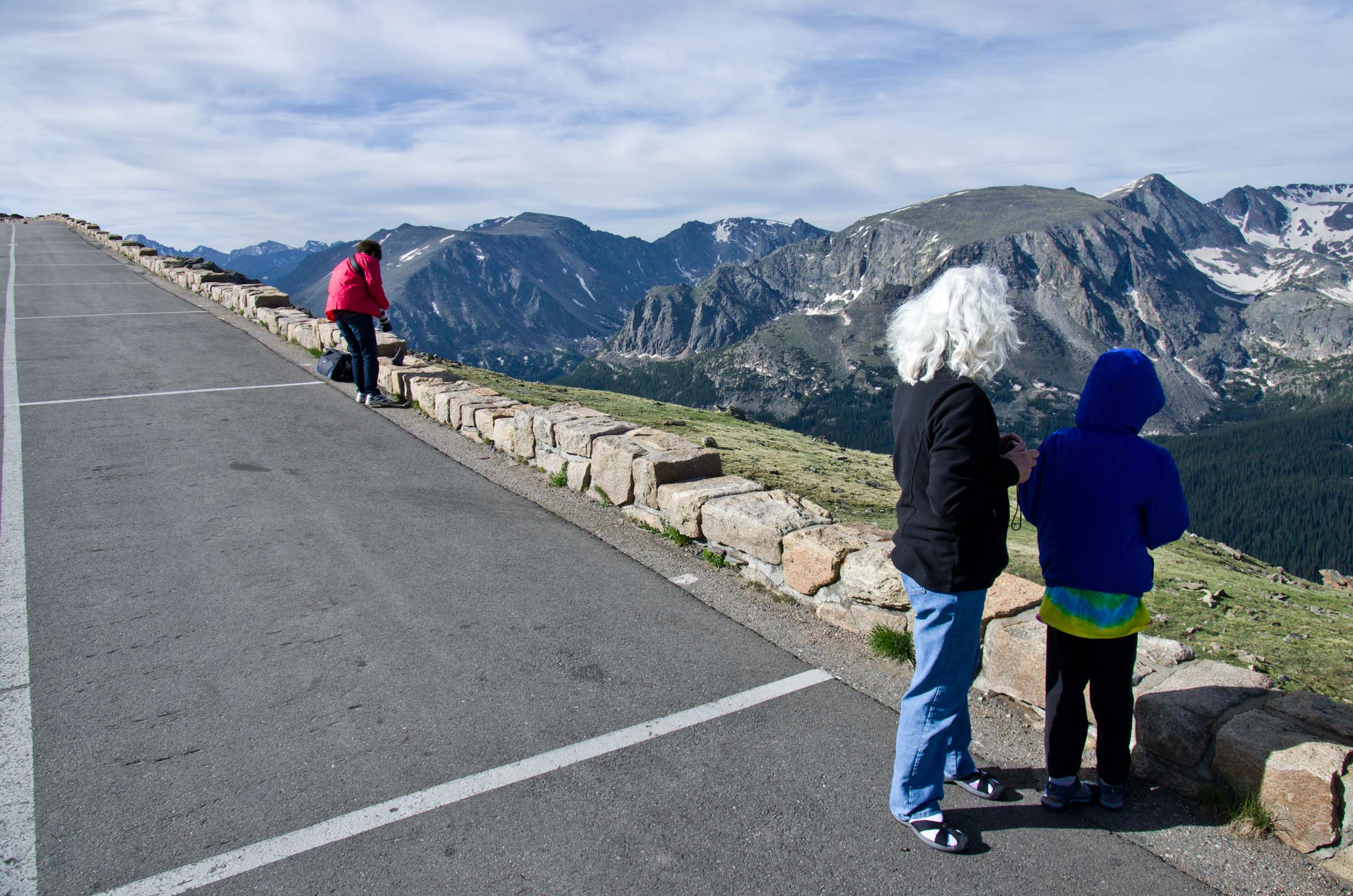
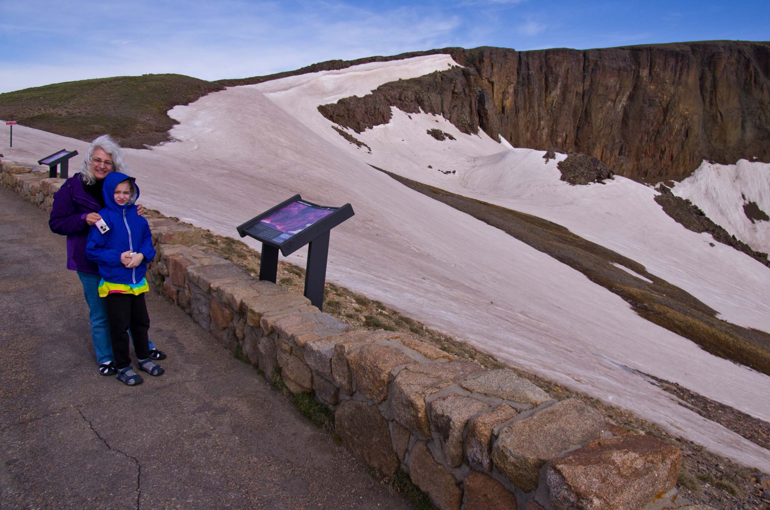
Over the top of the Trail Ridge Road |
|
|
|
|
|
|
|
|
|
|
|
|
|
|
|
|
|
|
|
|
|
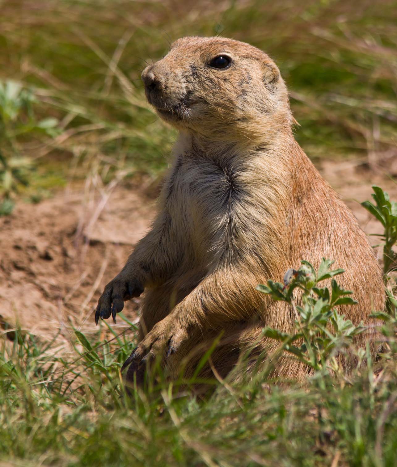
A marmot |
Jamie's photos of the marmot |
A pika |
|
|
|
|

|


|

|

|
|
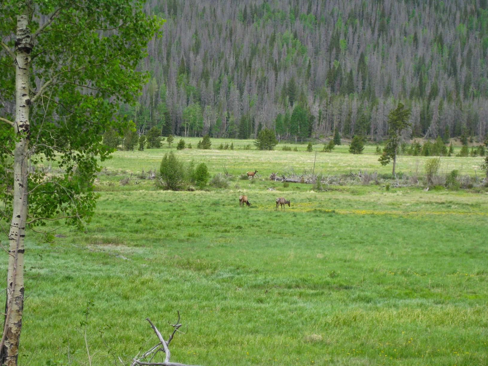
Elk, resting |
||||
|
|
|
|
|
|
|
The Continental Divide at Milner Pass |
|
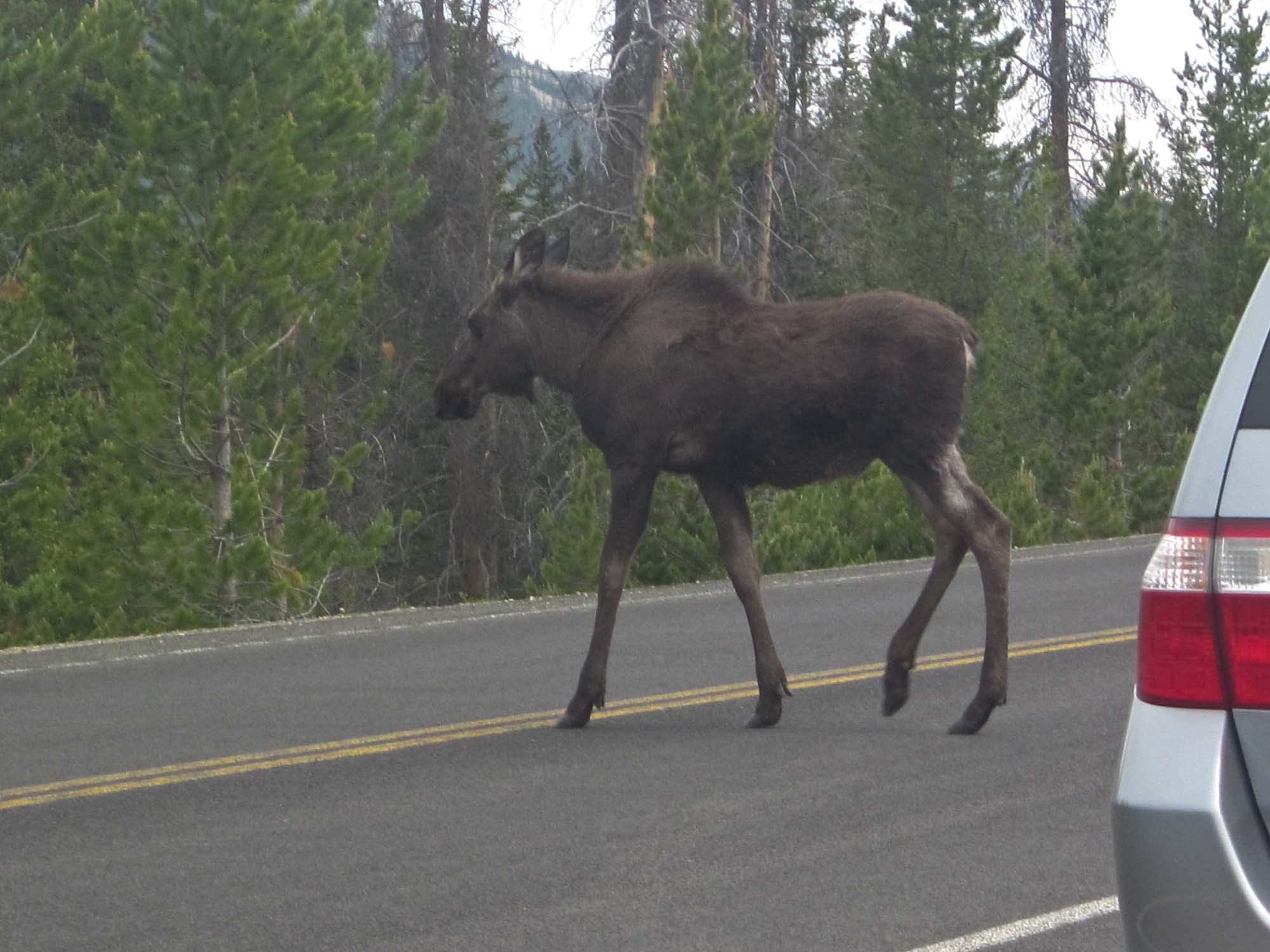
Moose in the road |
Jamie's shots of the moose |
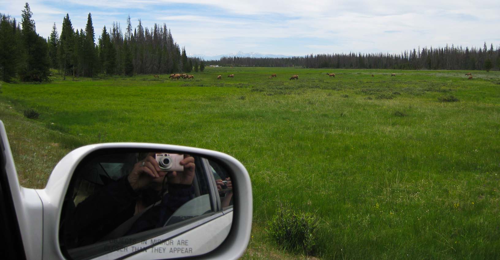
Elk! |
|
|
|
|
|
|
|
Lots of elk! Jamie's shot of elk calves |
Right out the window of the car |
Another moose in the road |
|
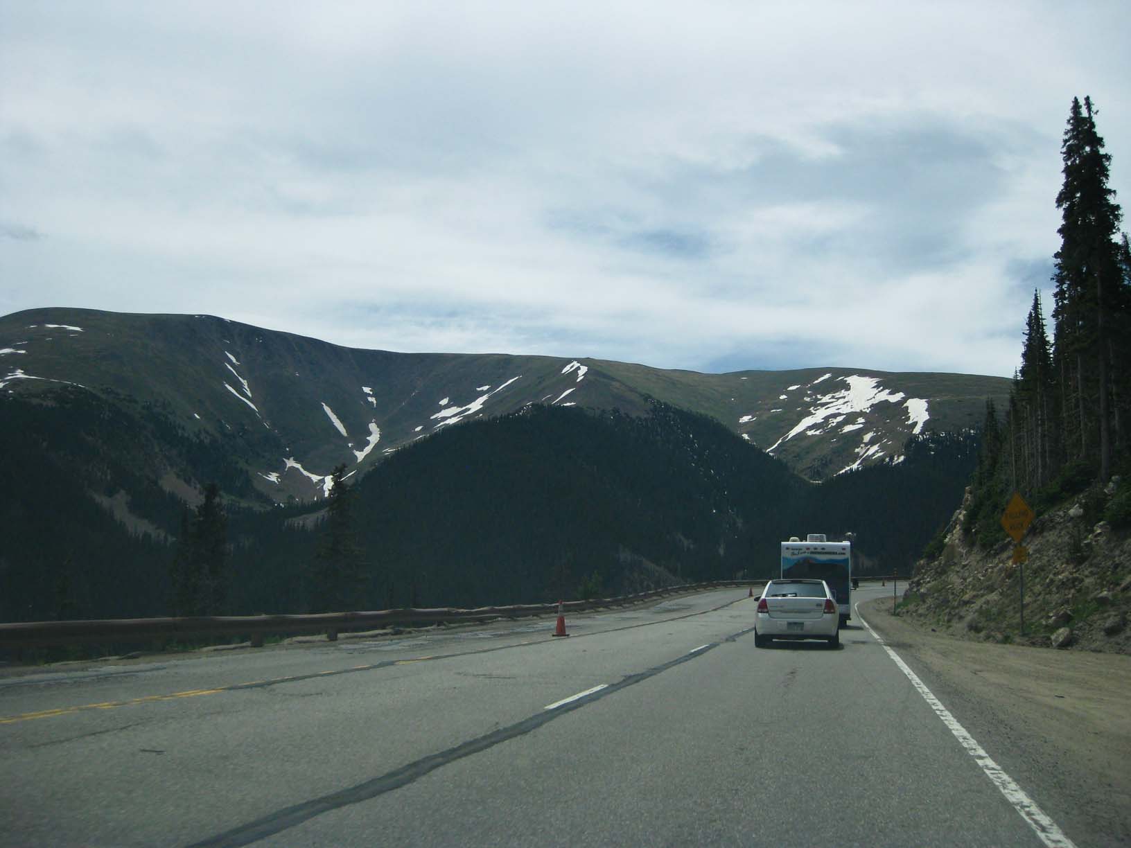
Up the Berthoud Pass |
|
|
|
|
|
|
|
Down the Berthoud Pass |
|
I-70 at last -- but not moving fast! |
|
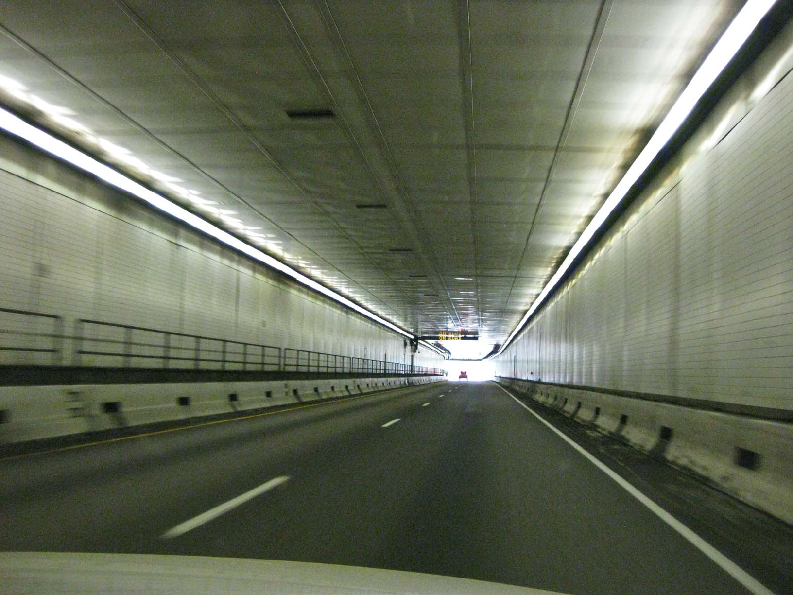
The Eisenhower Tunnel on I-70 |
|
|
|
|
|
|
|
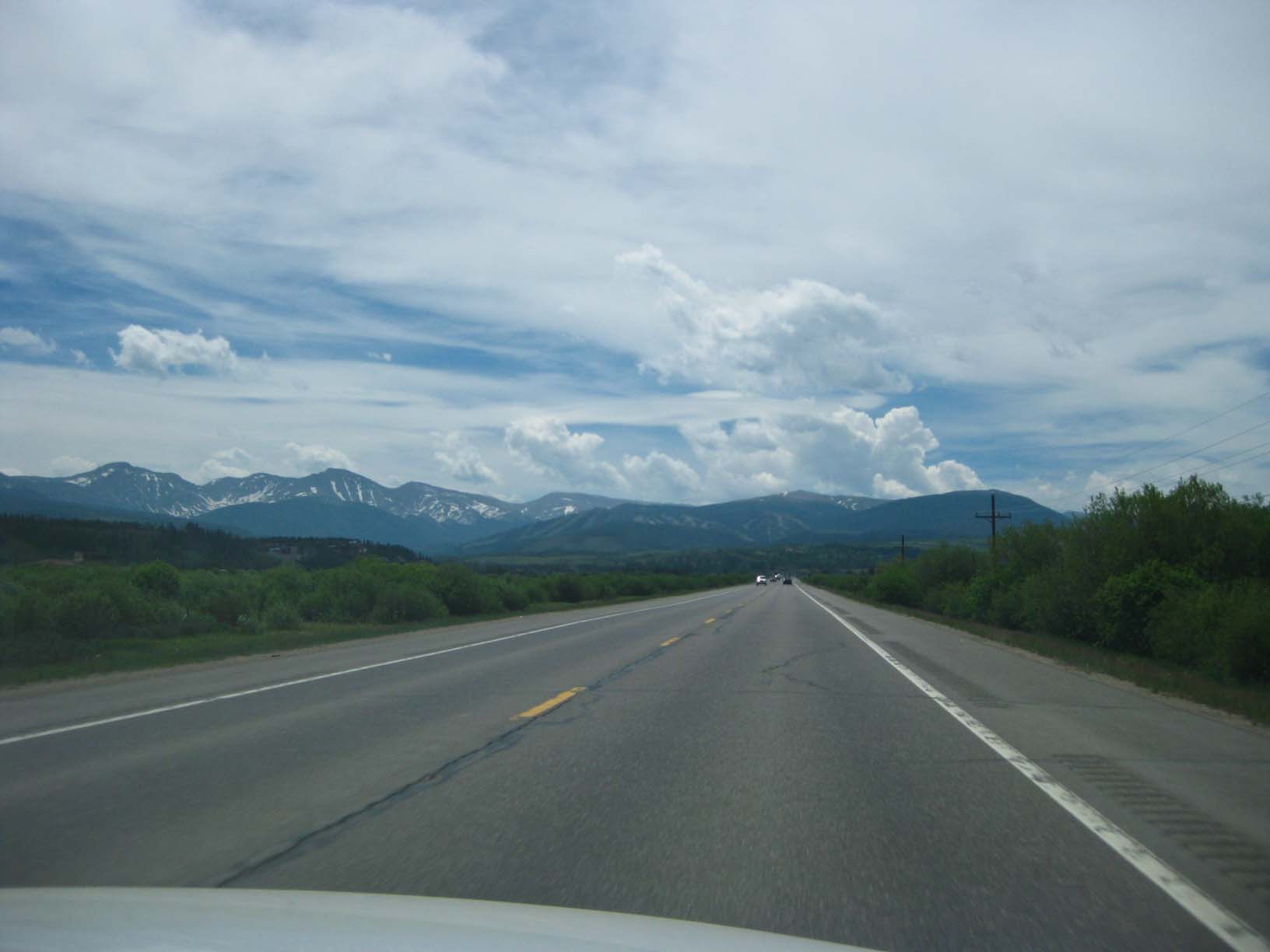
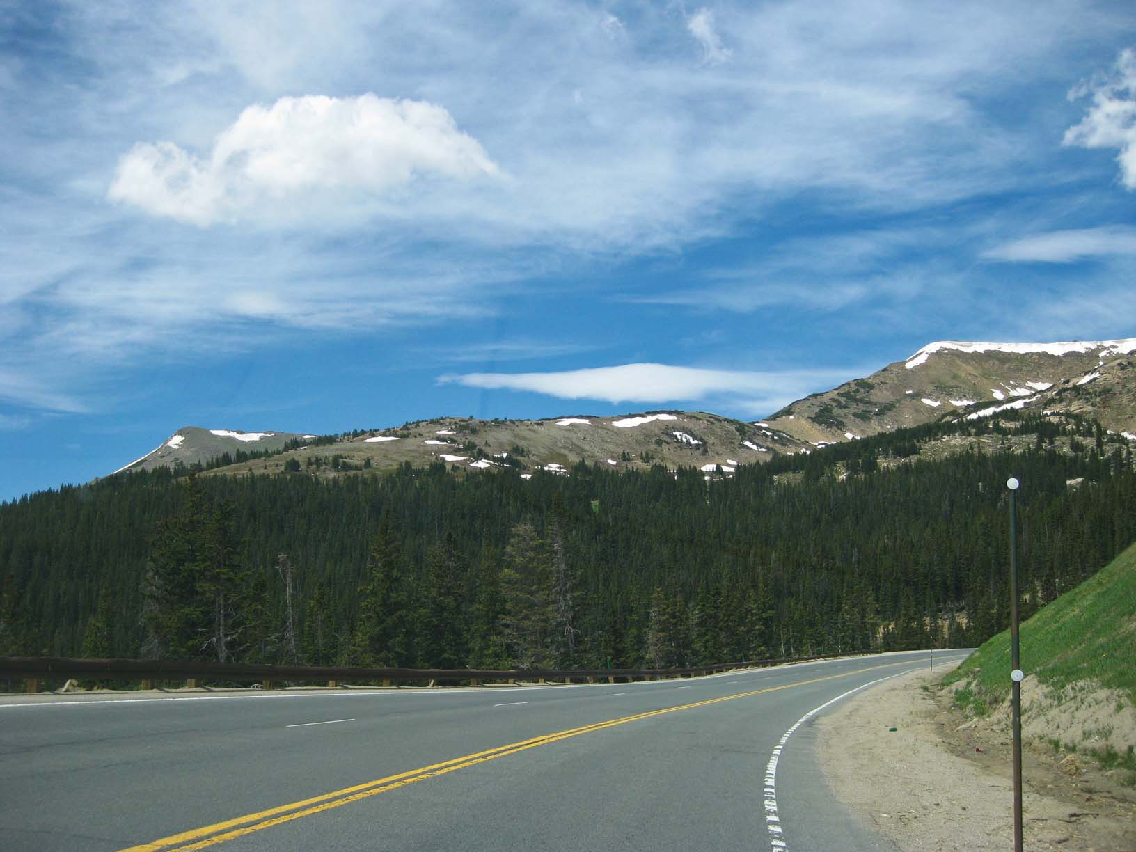
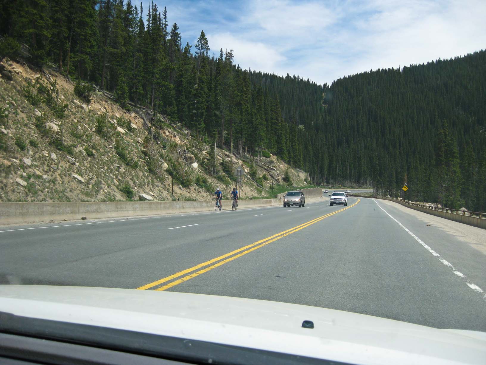
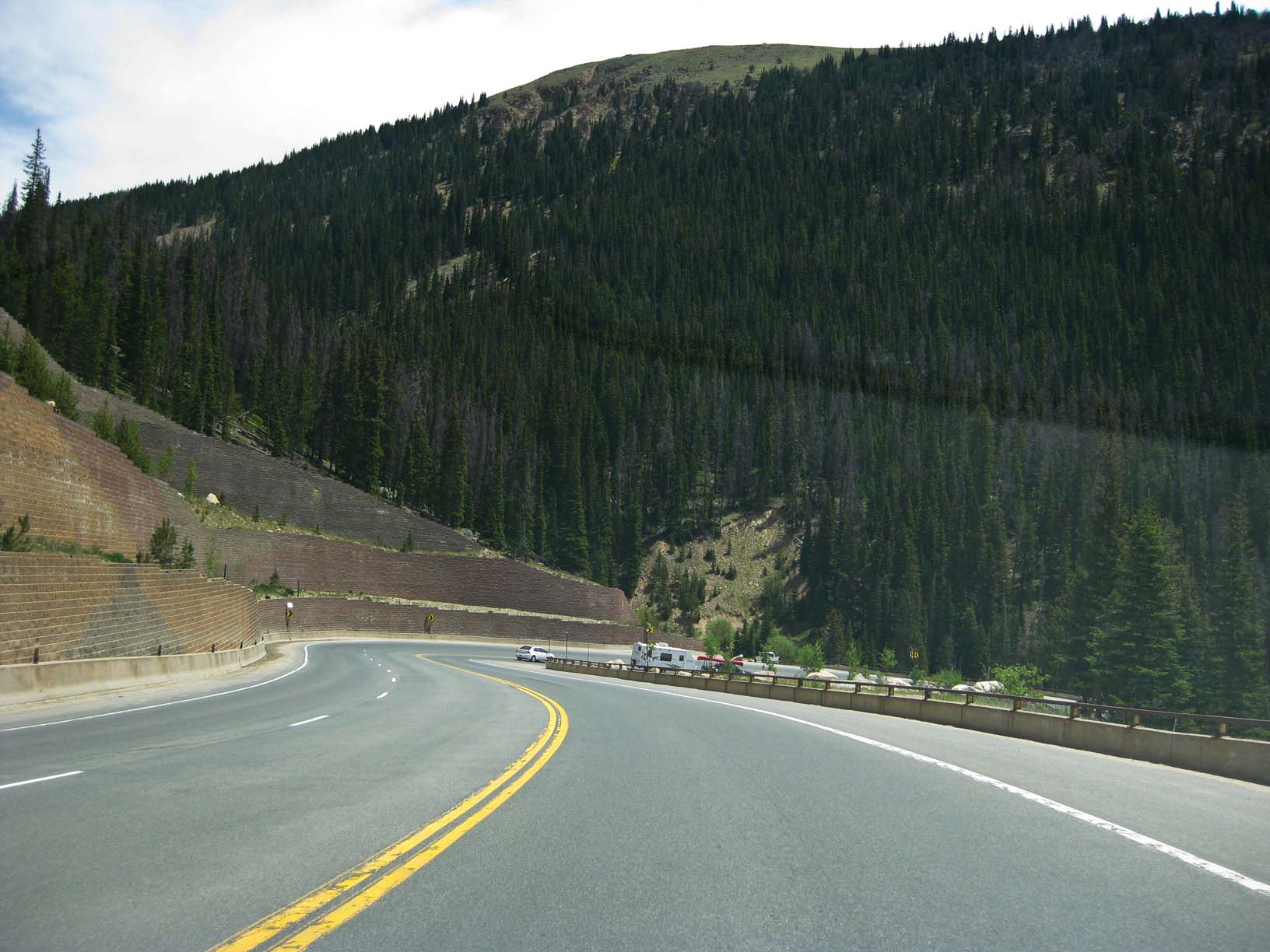
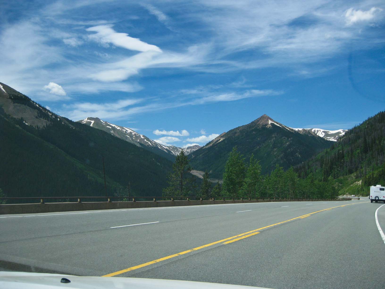
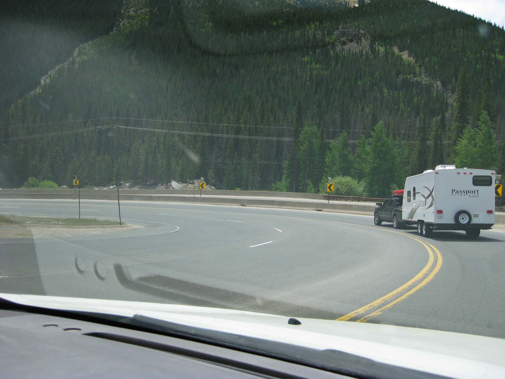
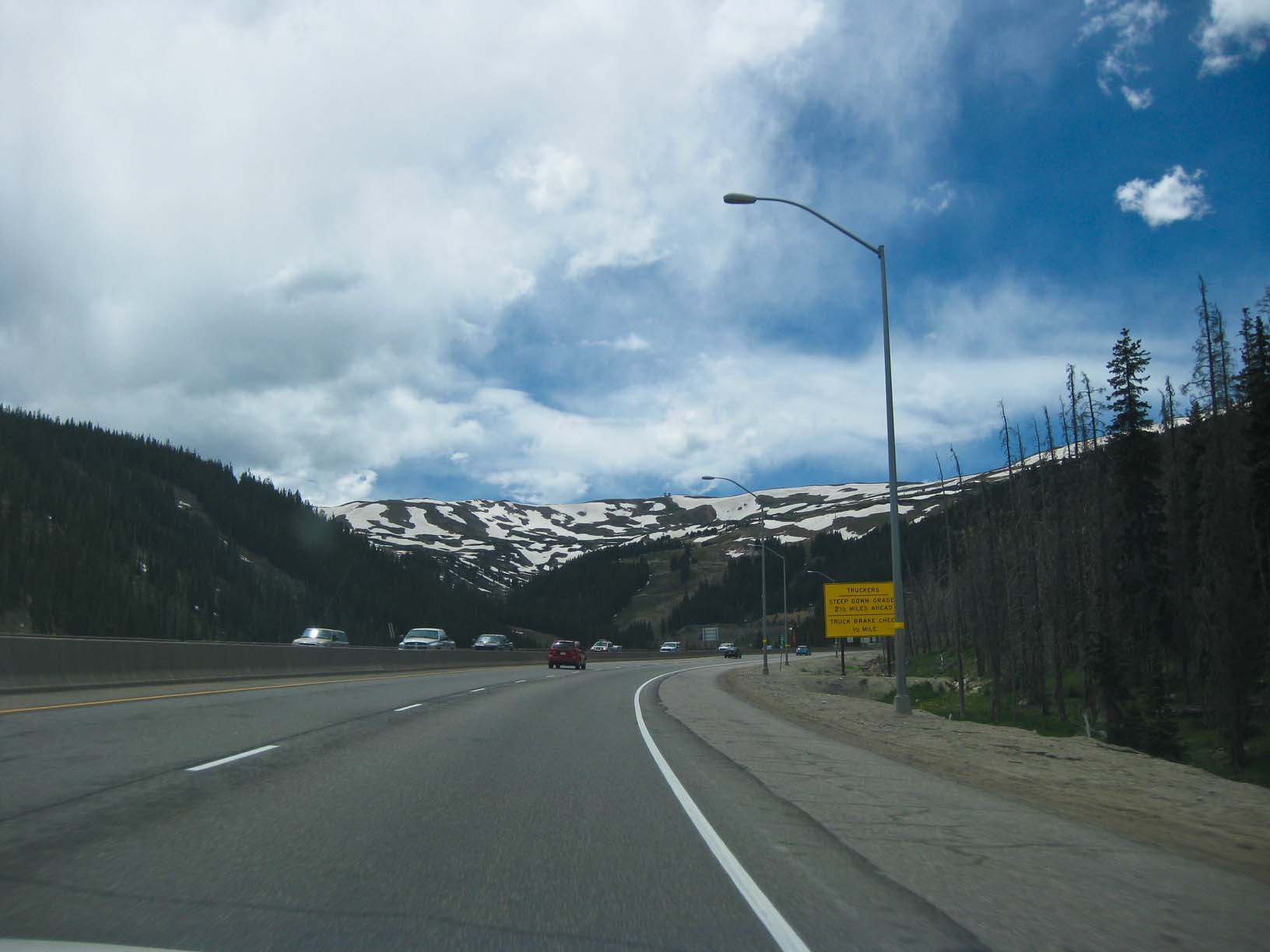
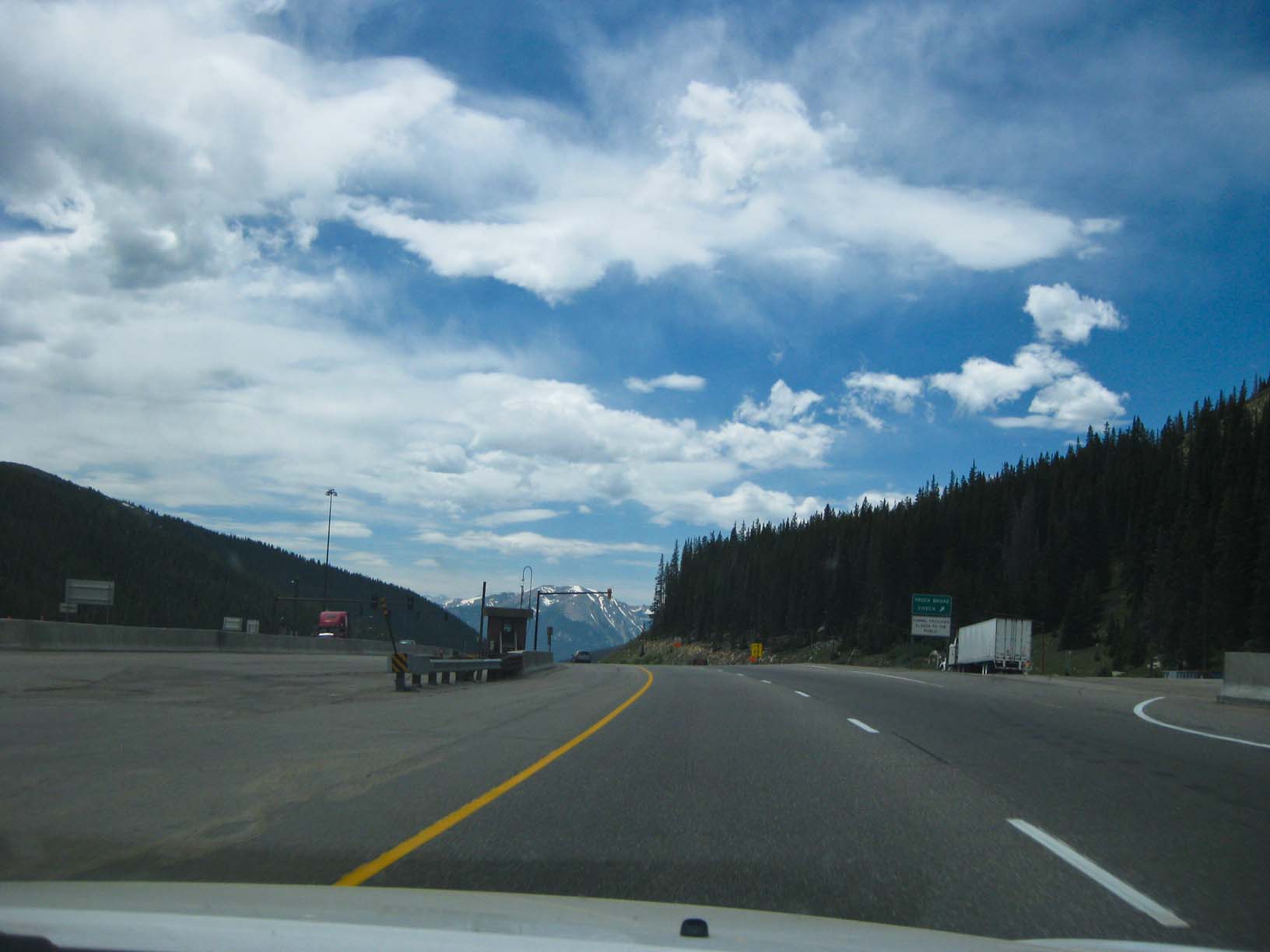
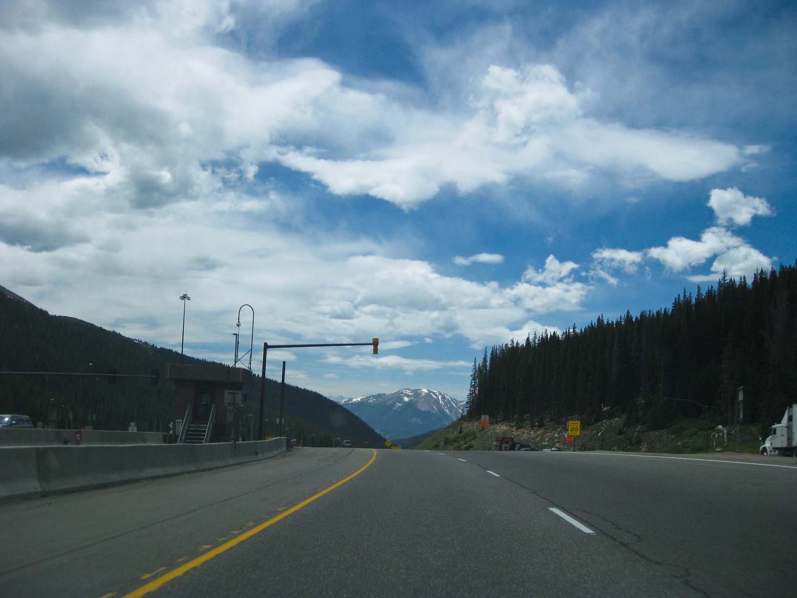
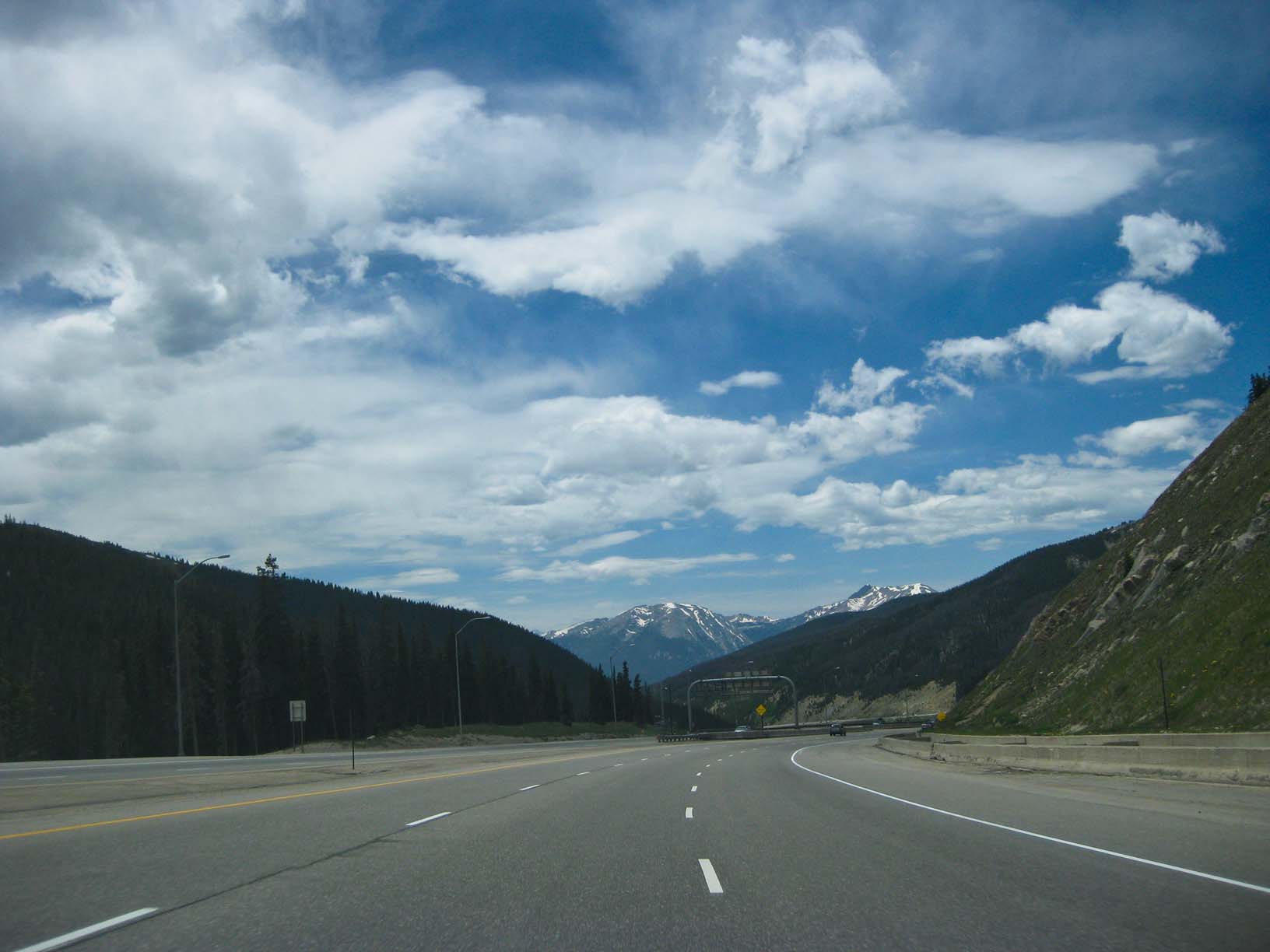
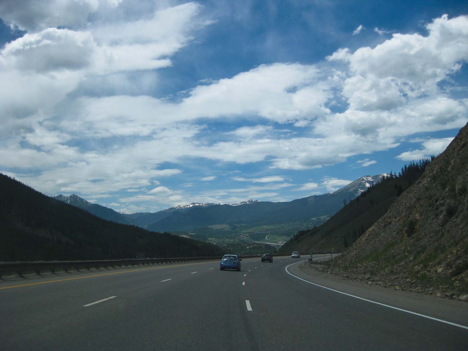
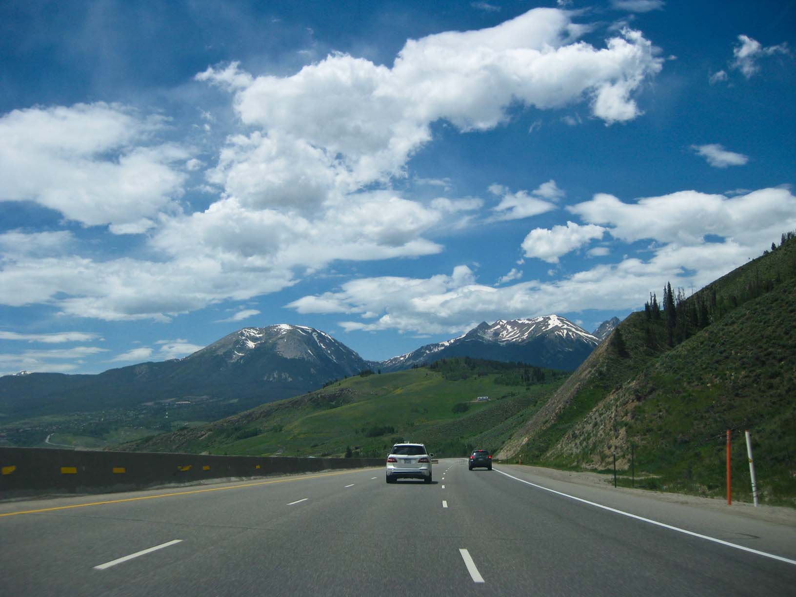
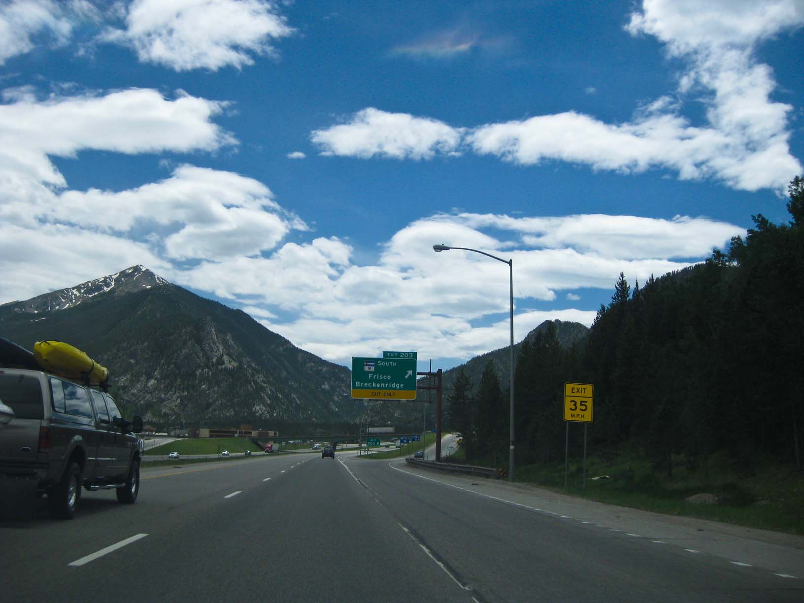
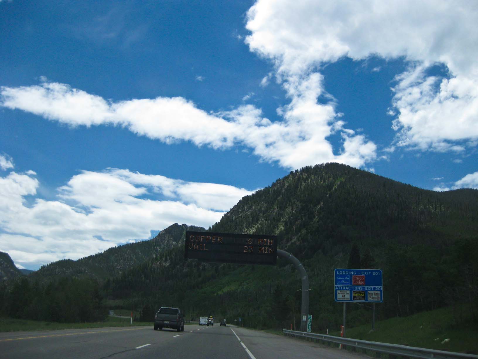
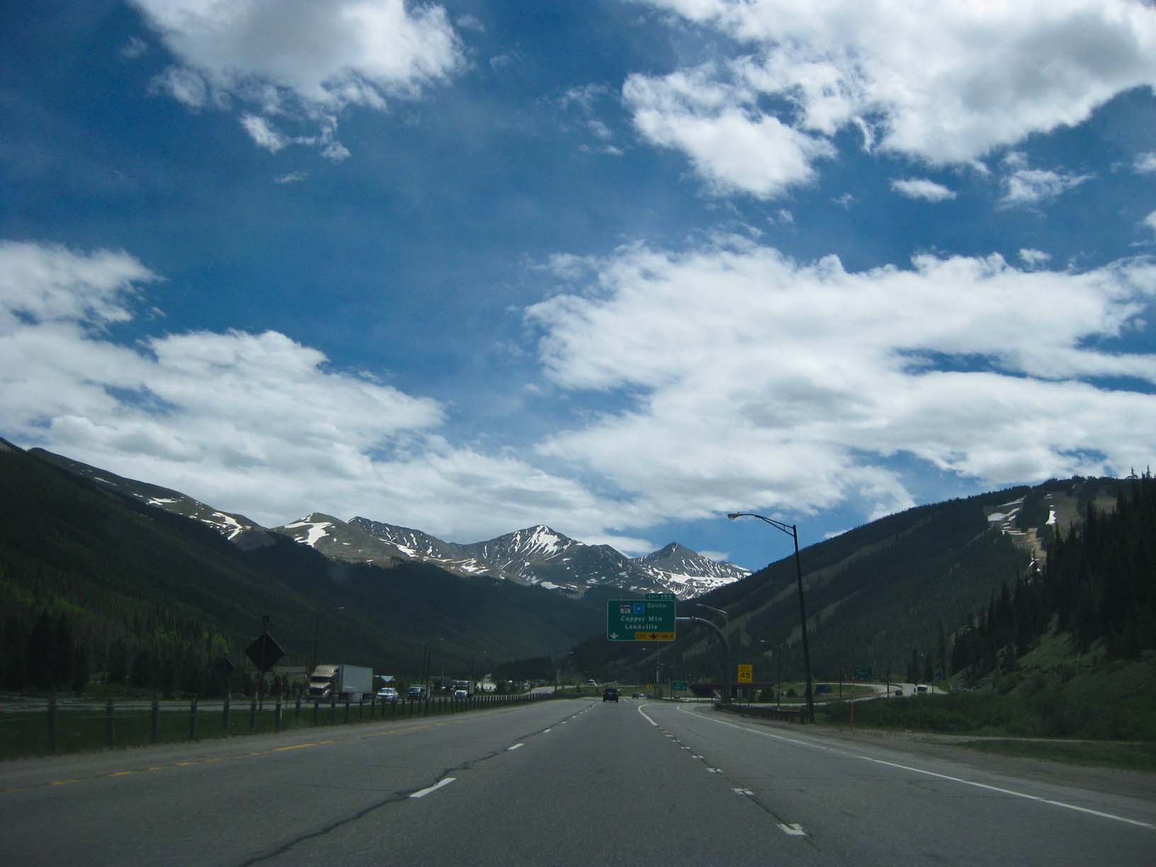
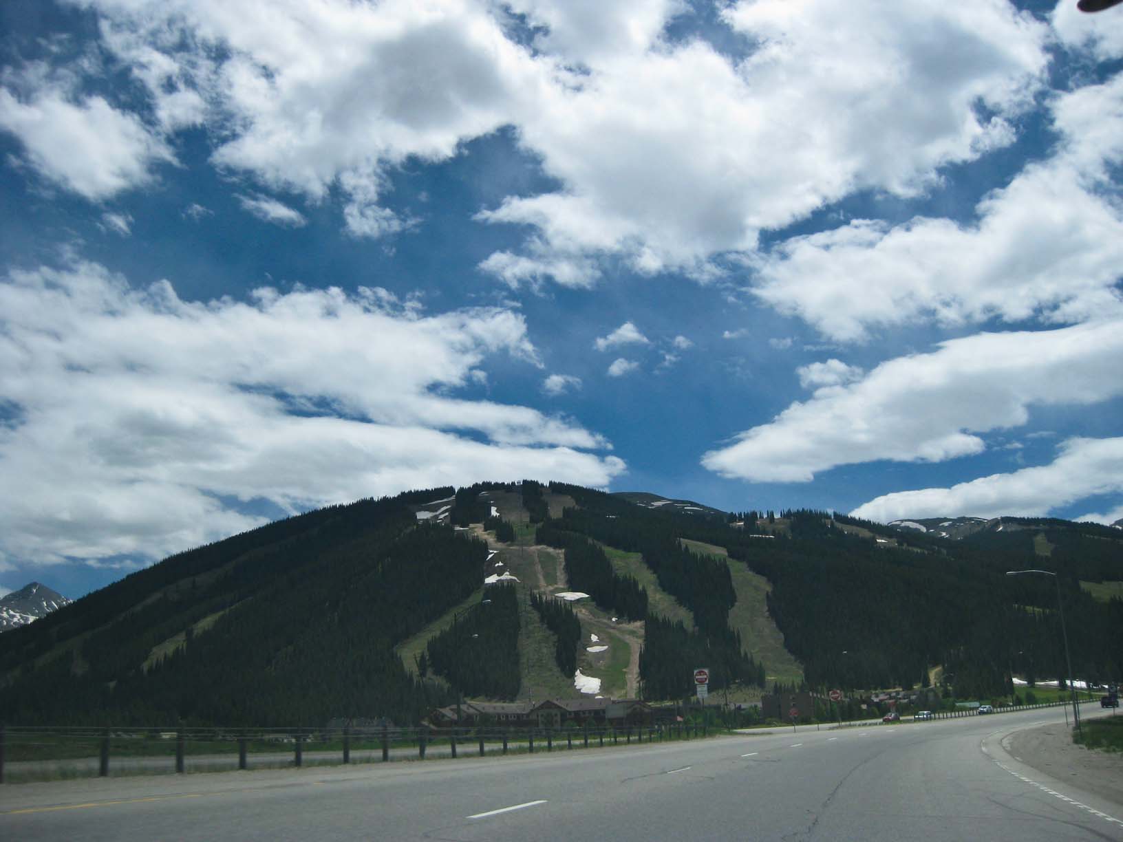
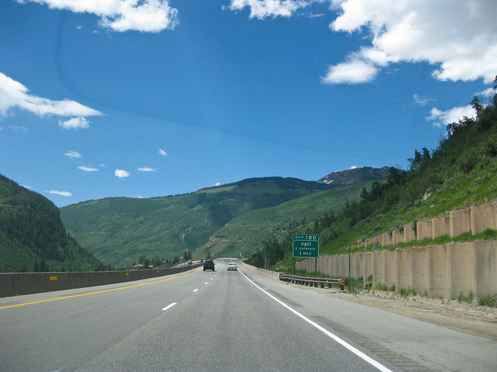
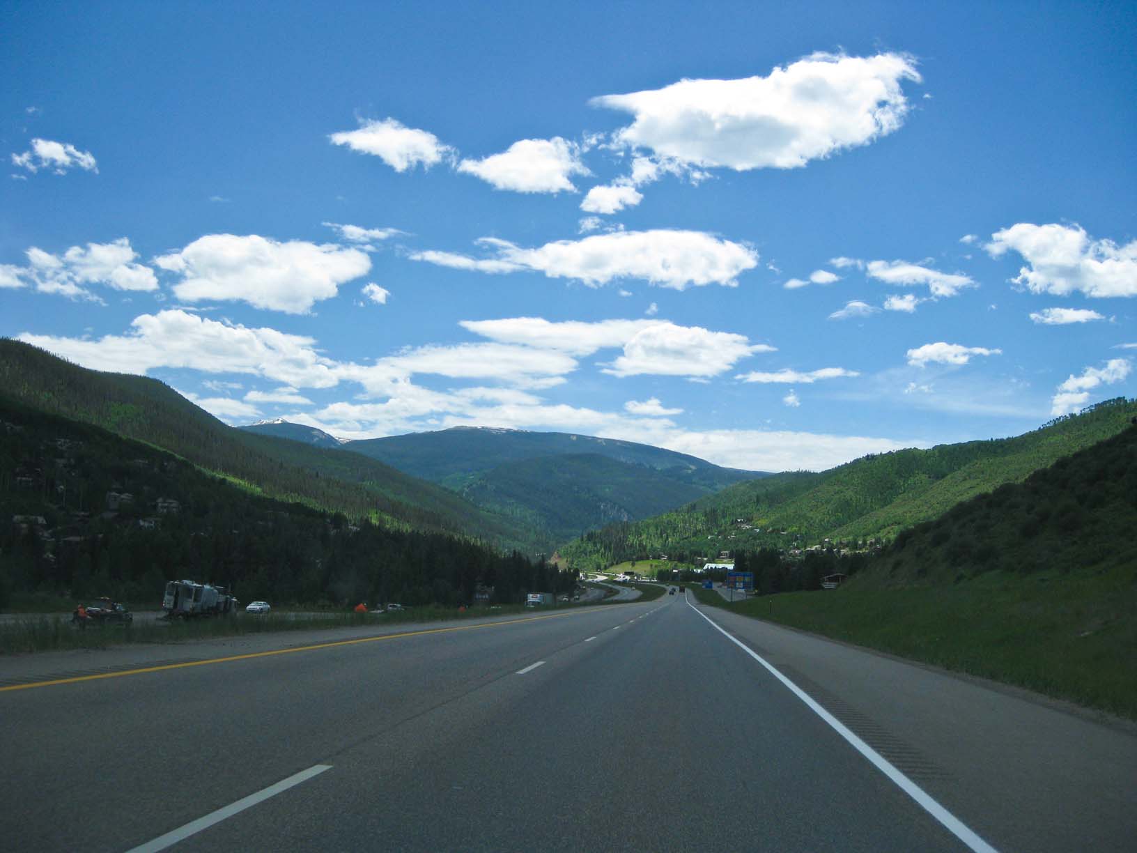
Central Colorado ski region |
Central Colorado ski region |
Central Colorado ski region |
Central Colorado ski region |
Central Colorado ski region |
|
|
|
|
|
|
|
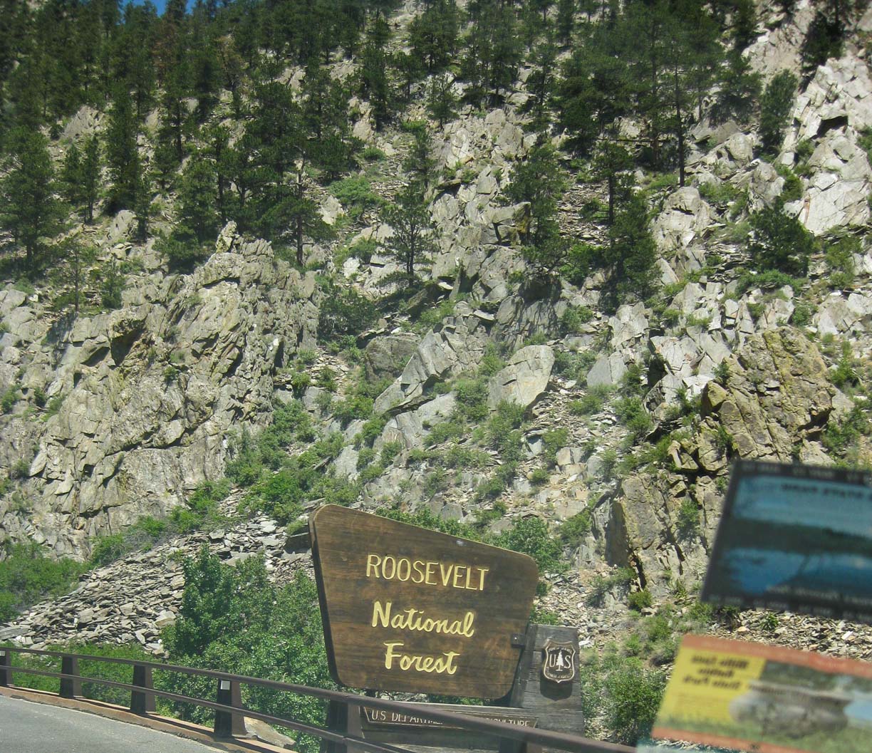
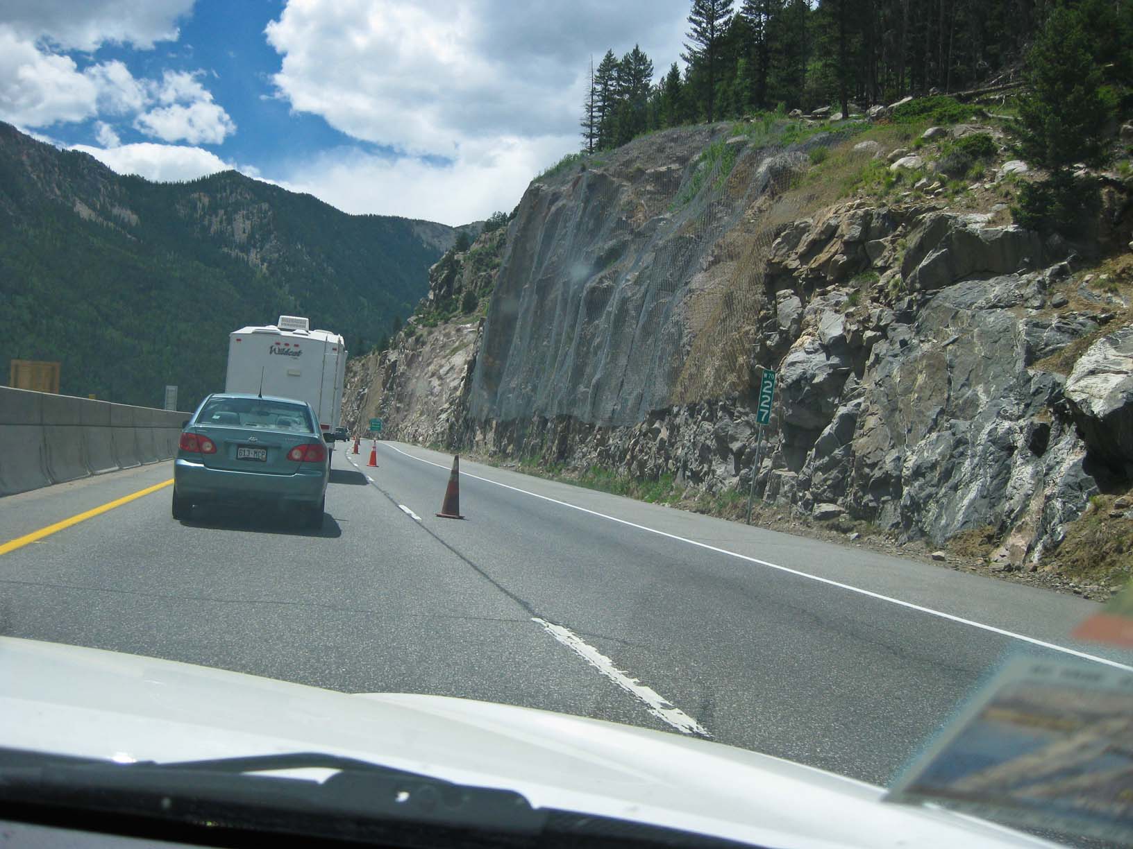
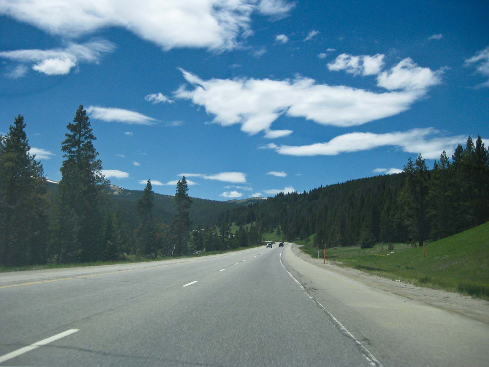
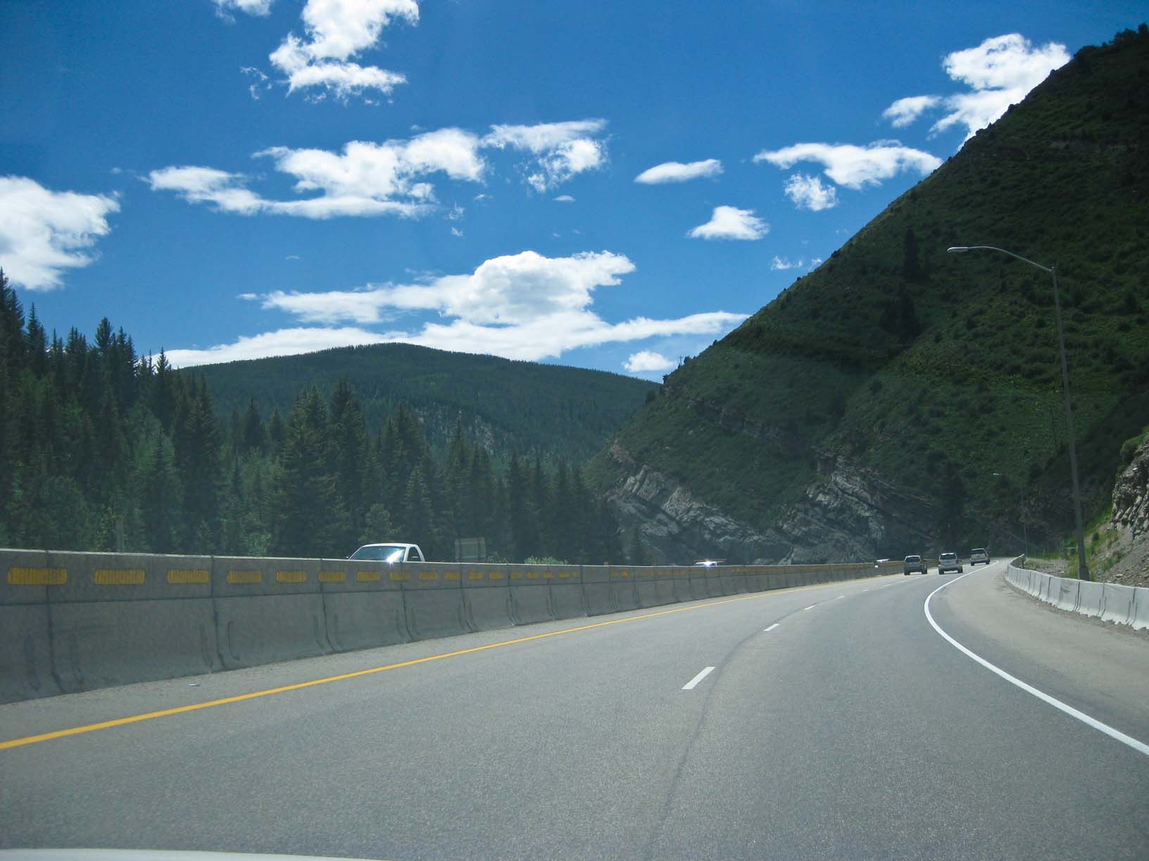
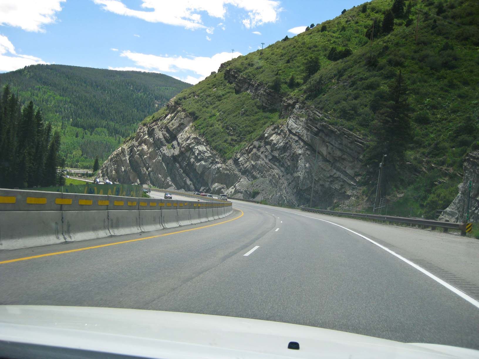
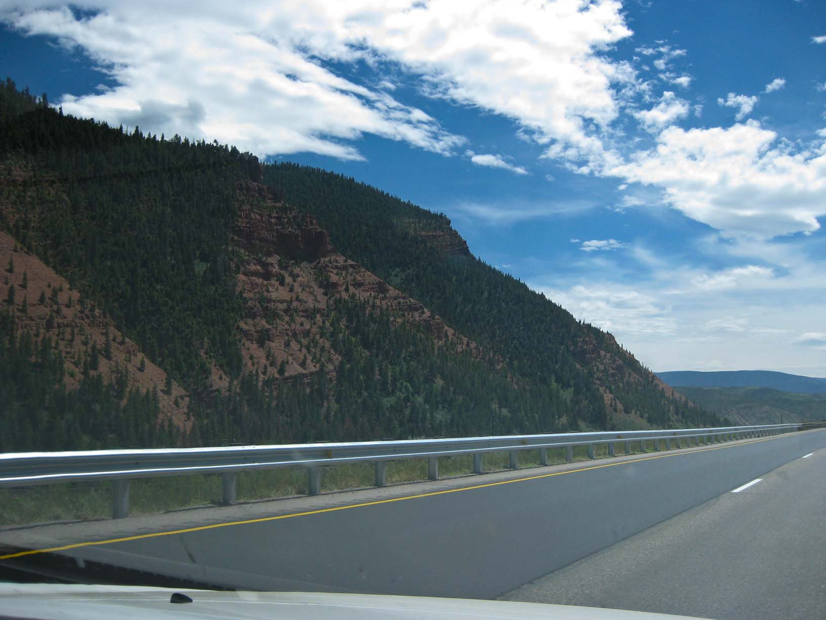
Western Colorado |
|
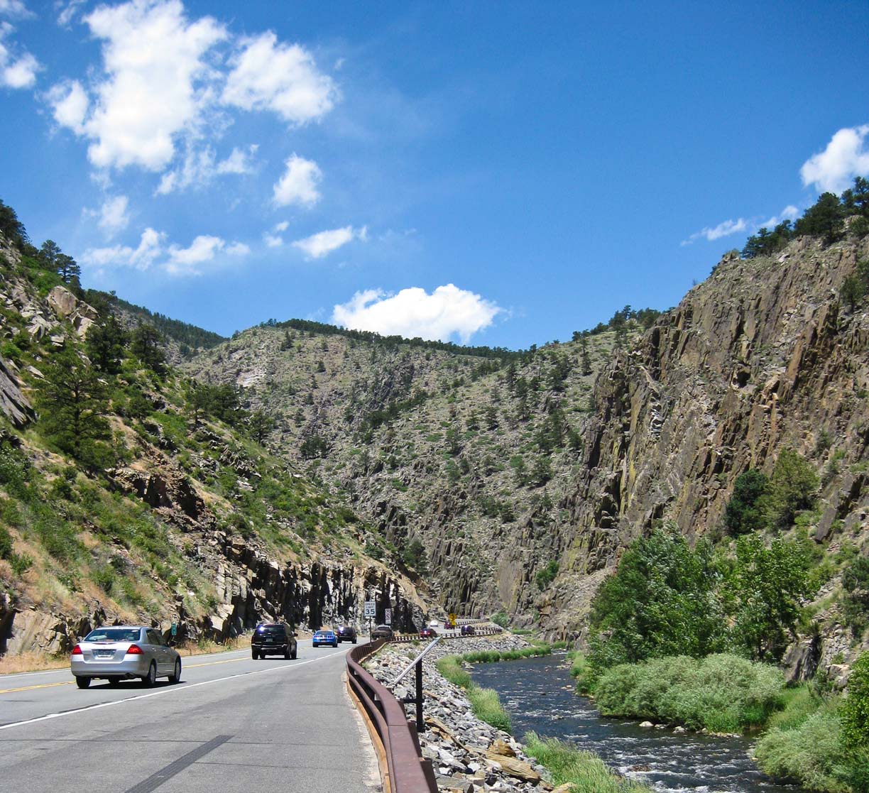
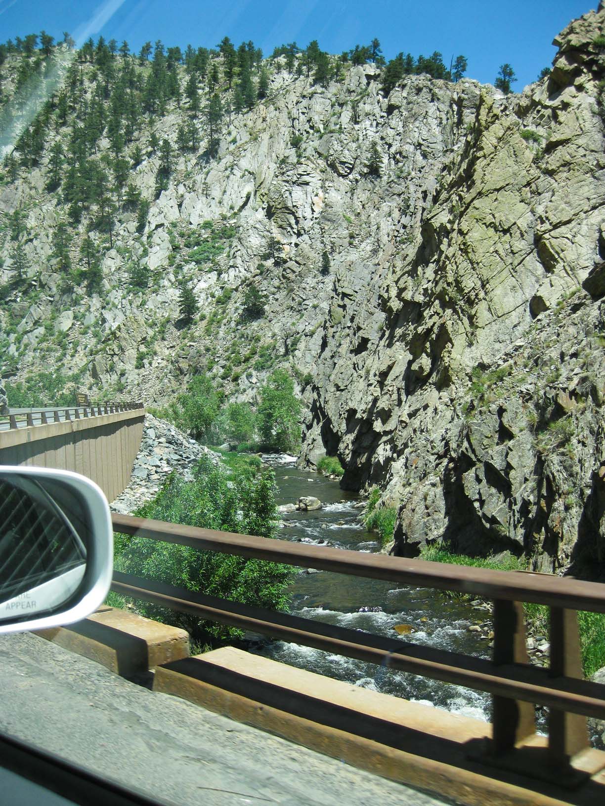
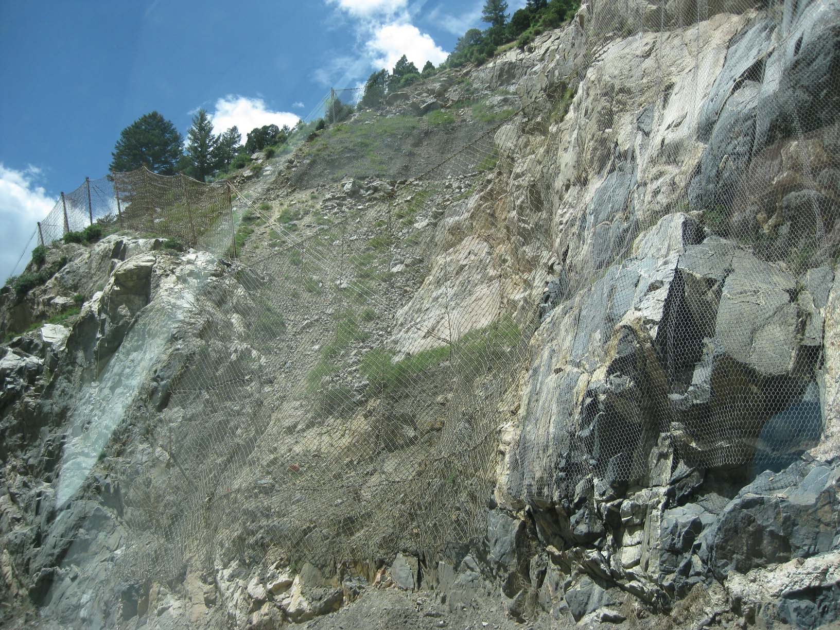
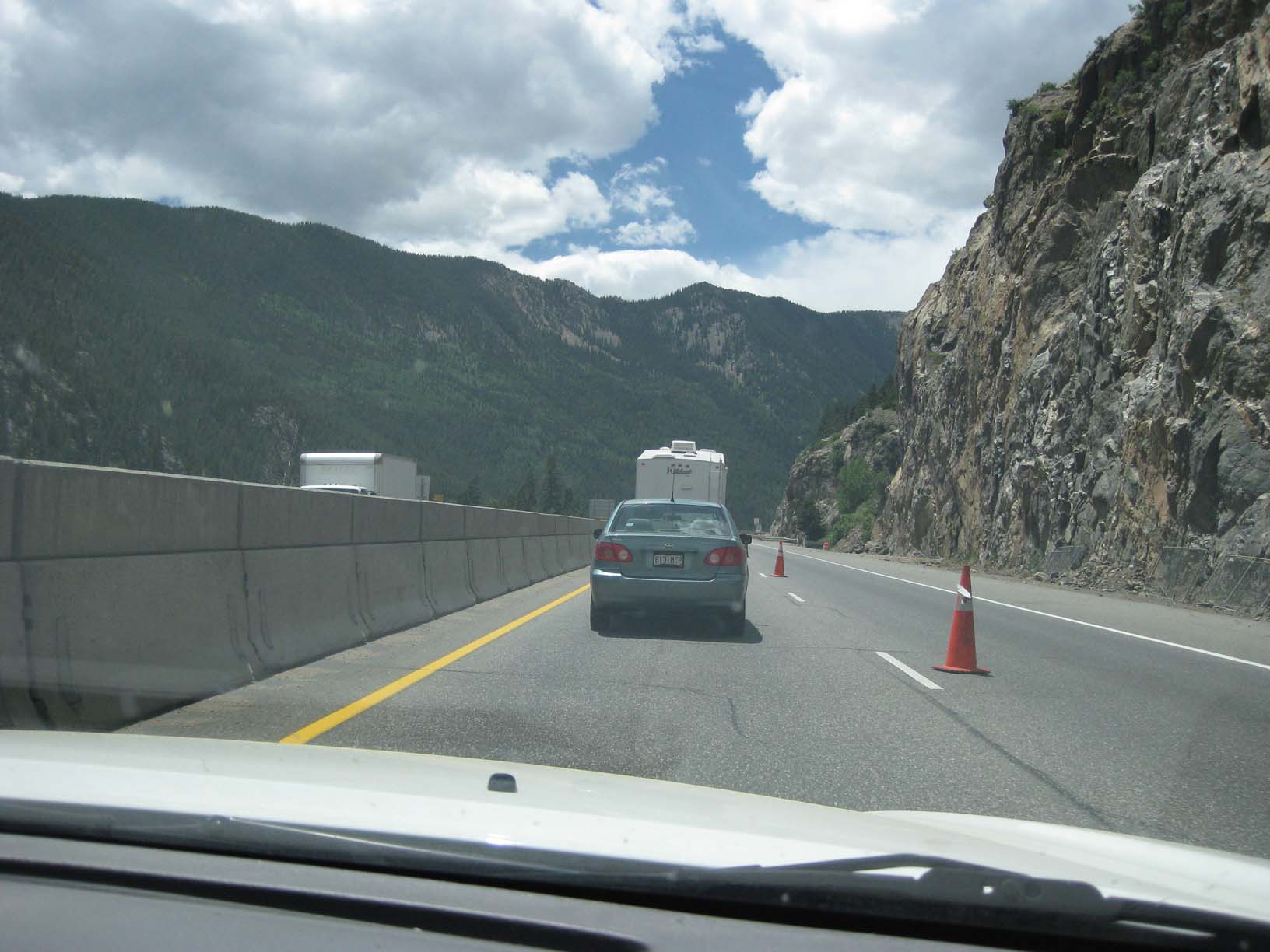
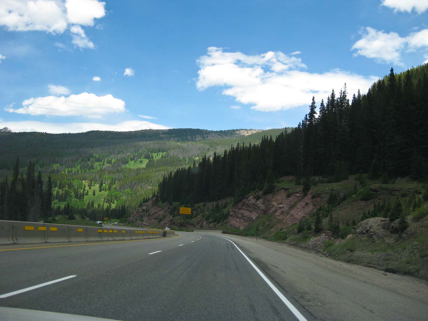
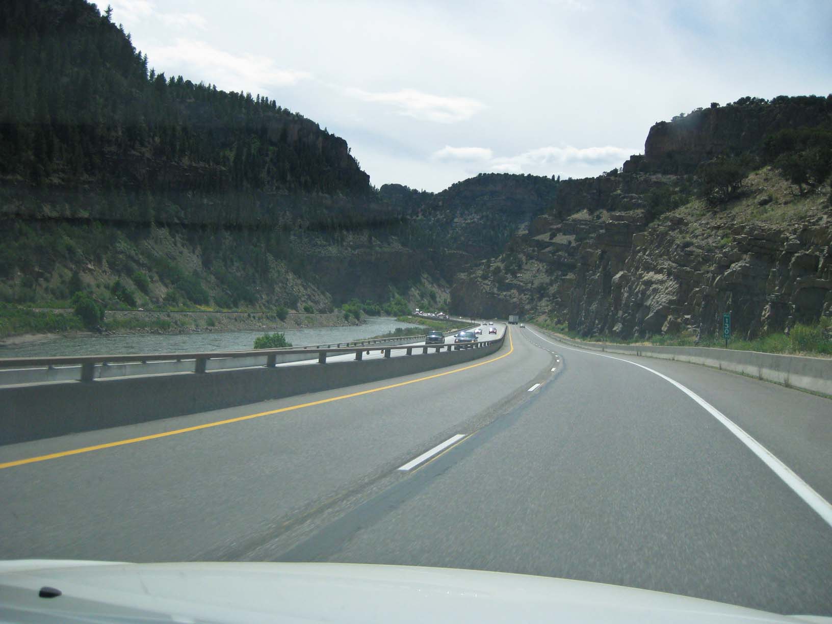
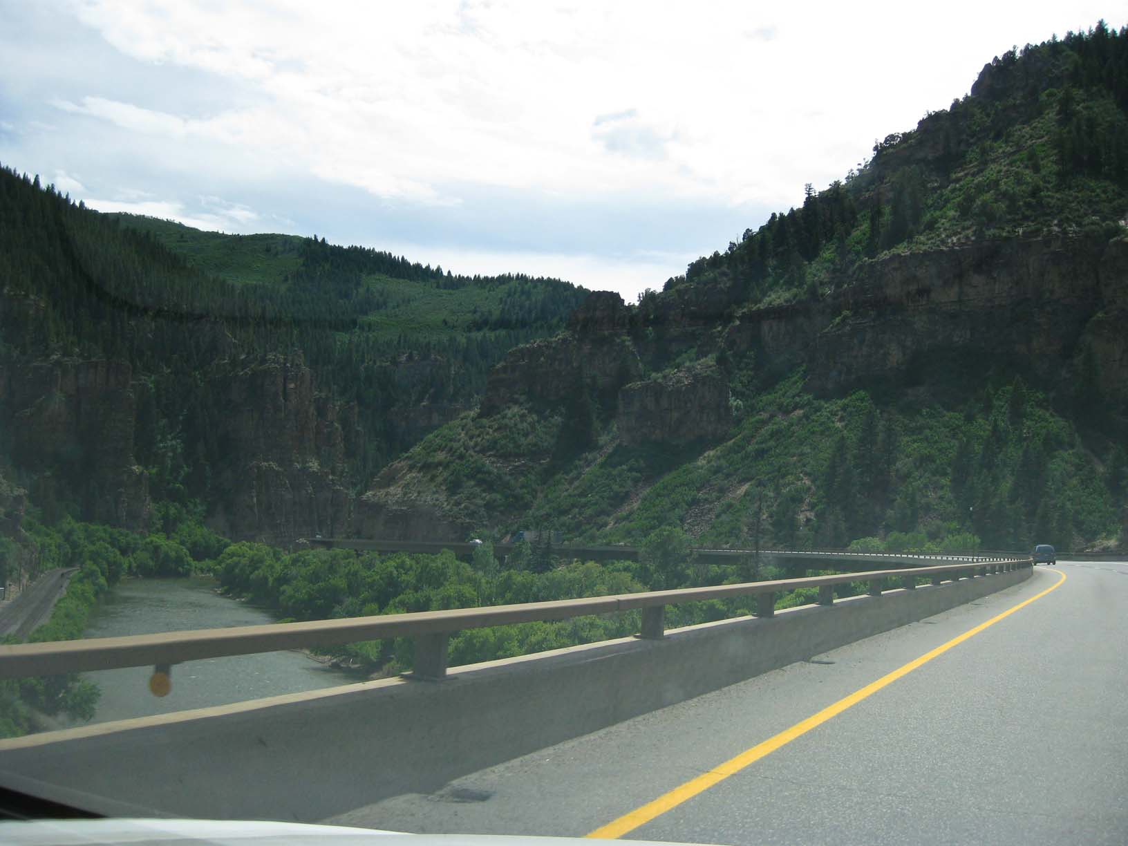
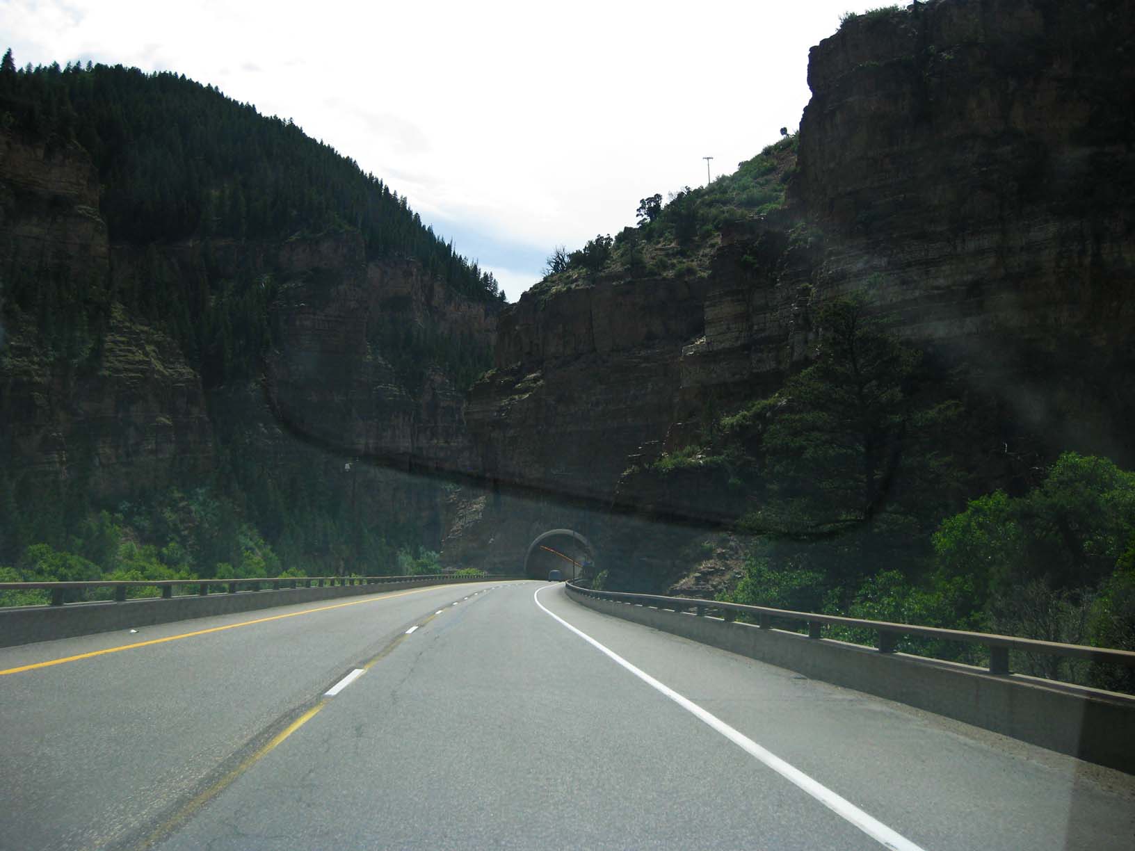
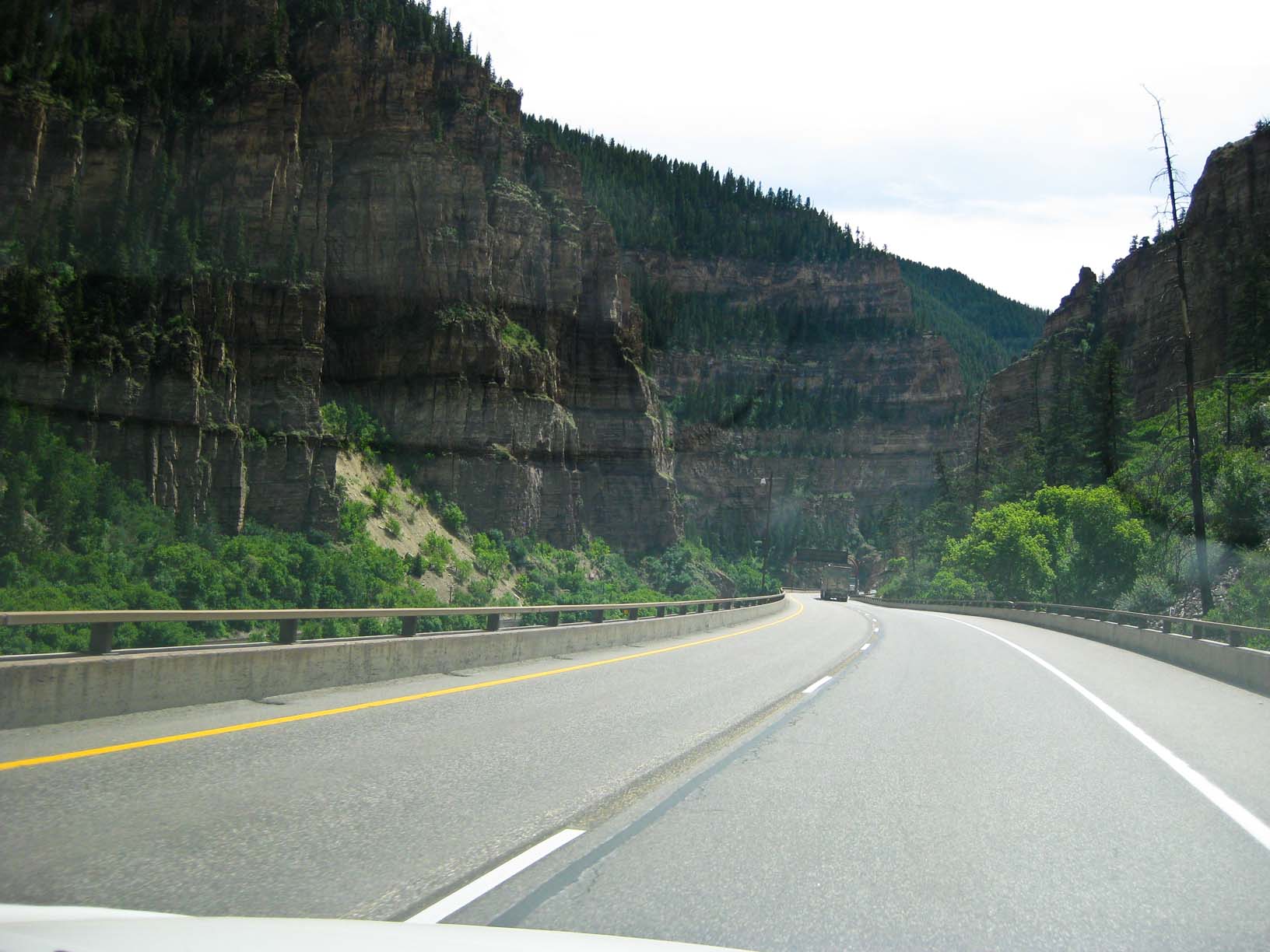
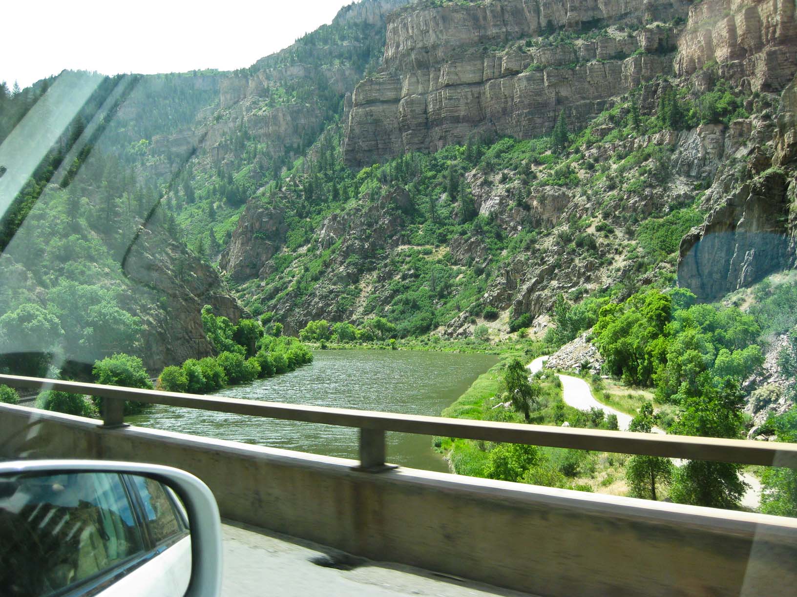
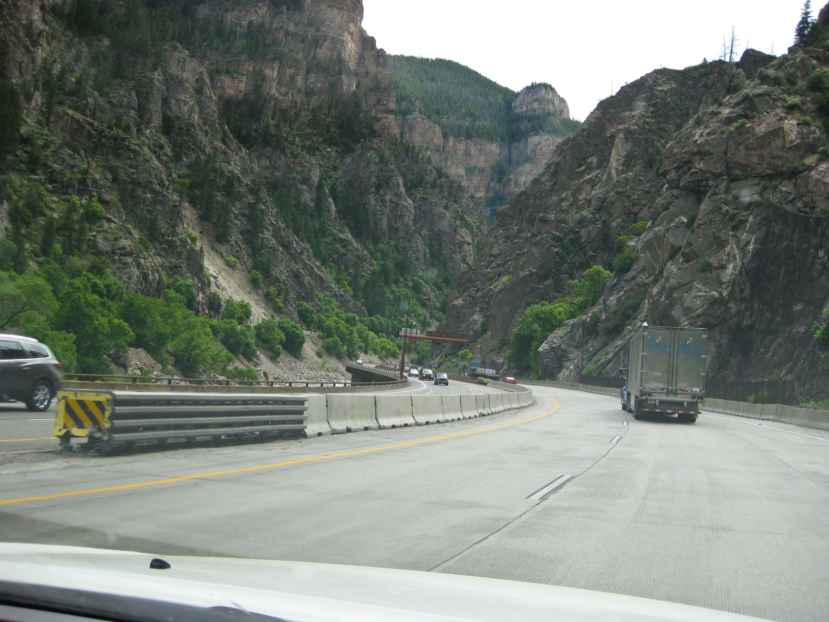
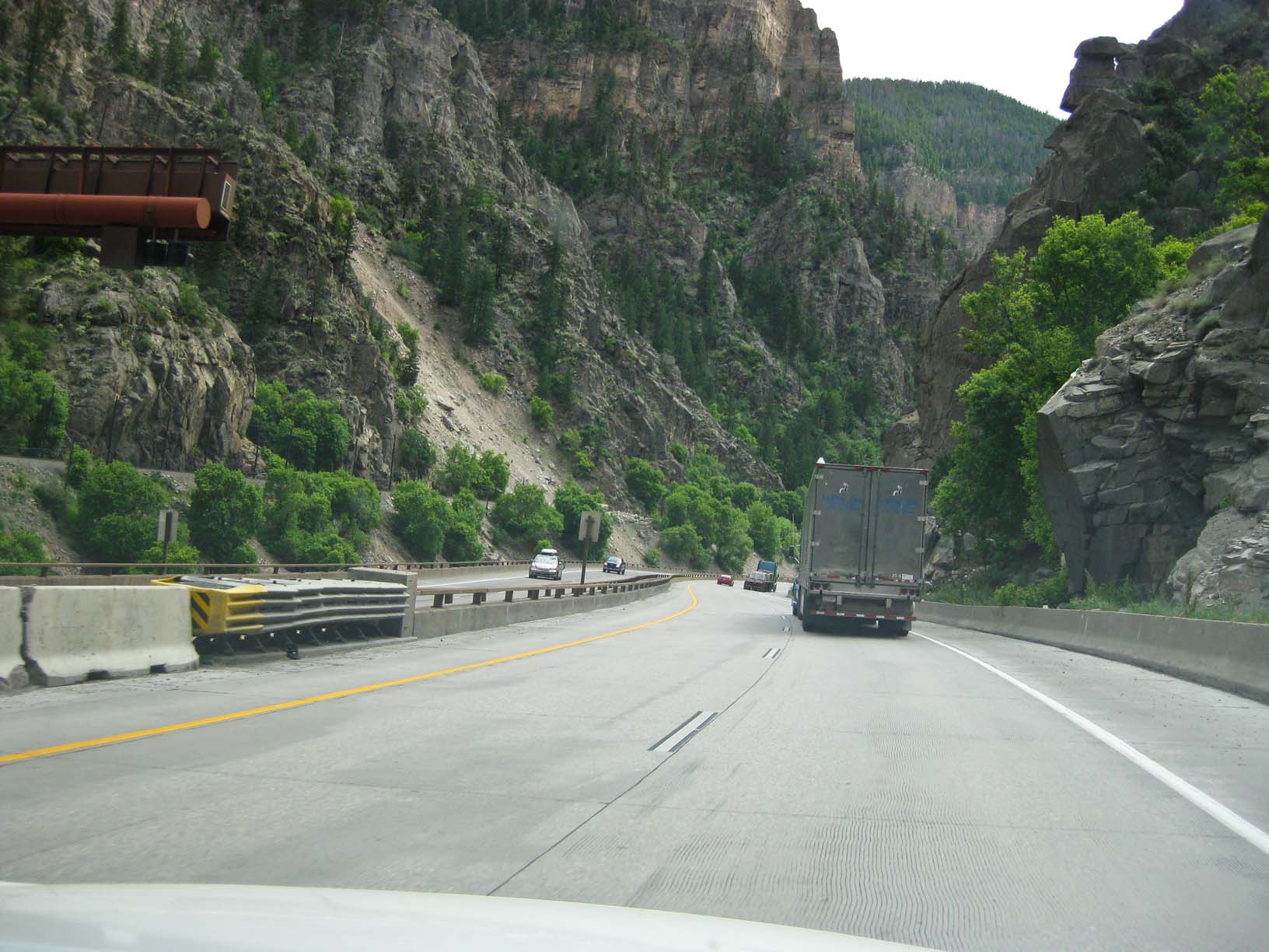
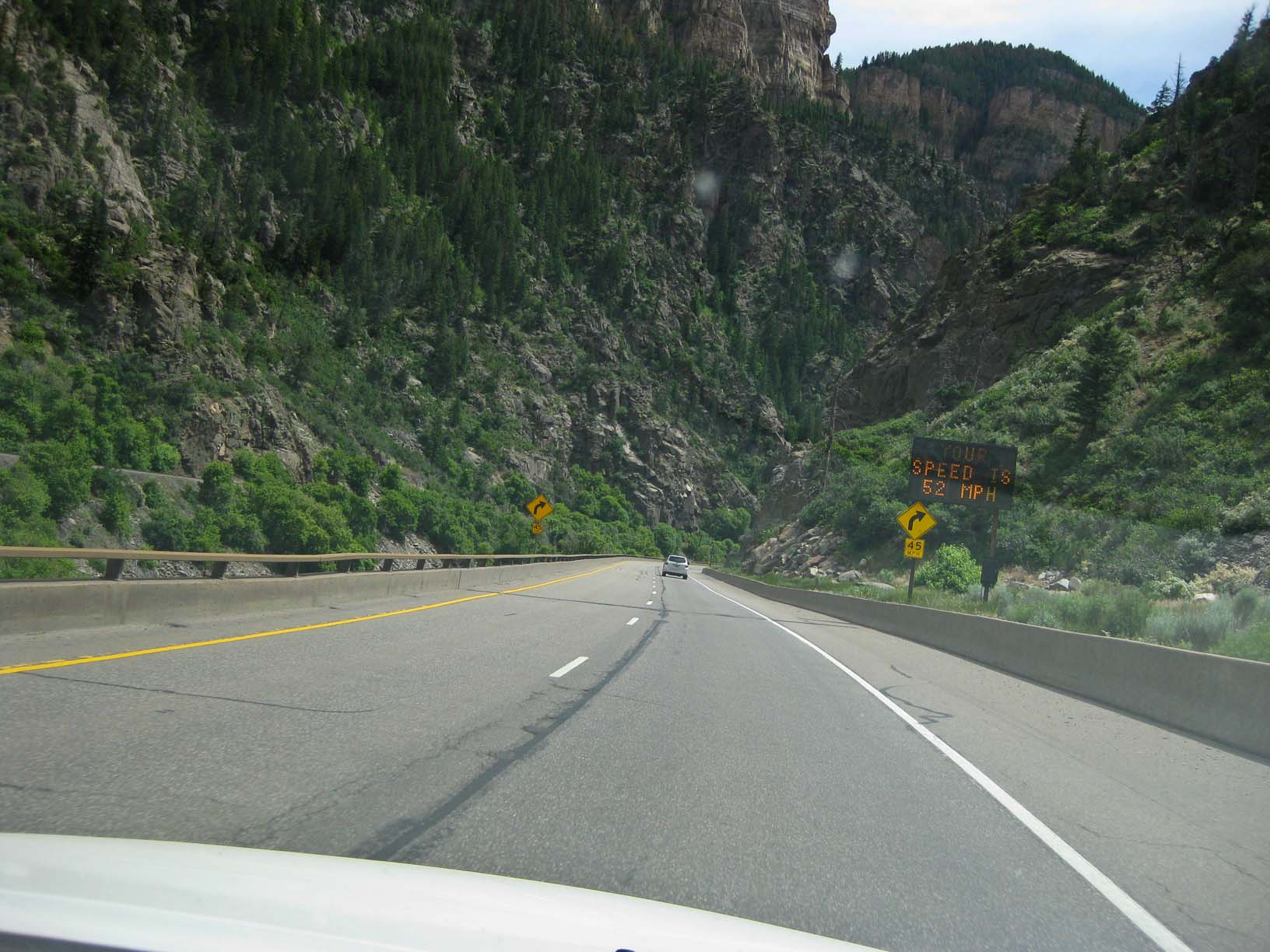
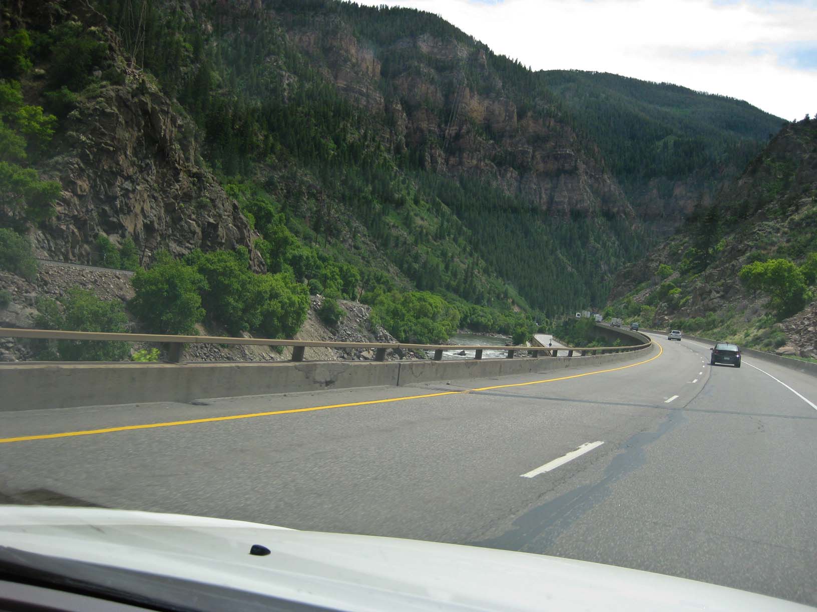
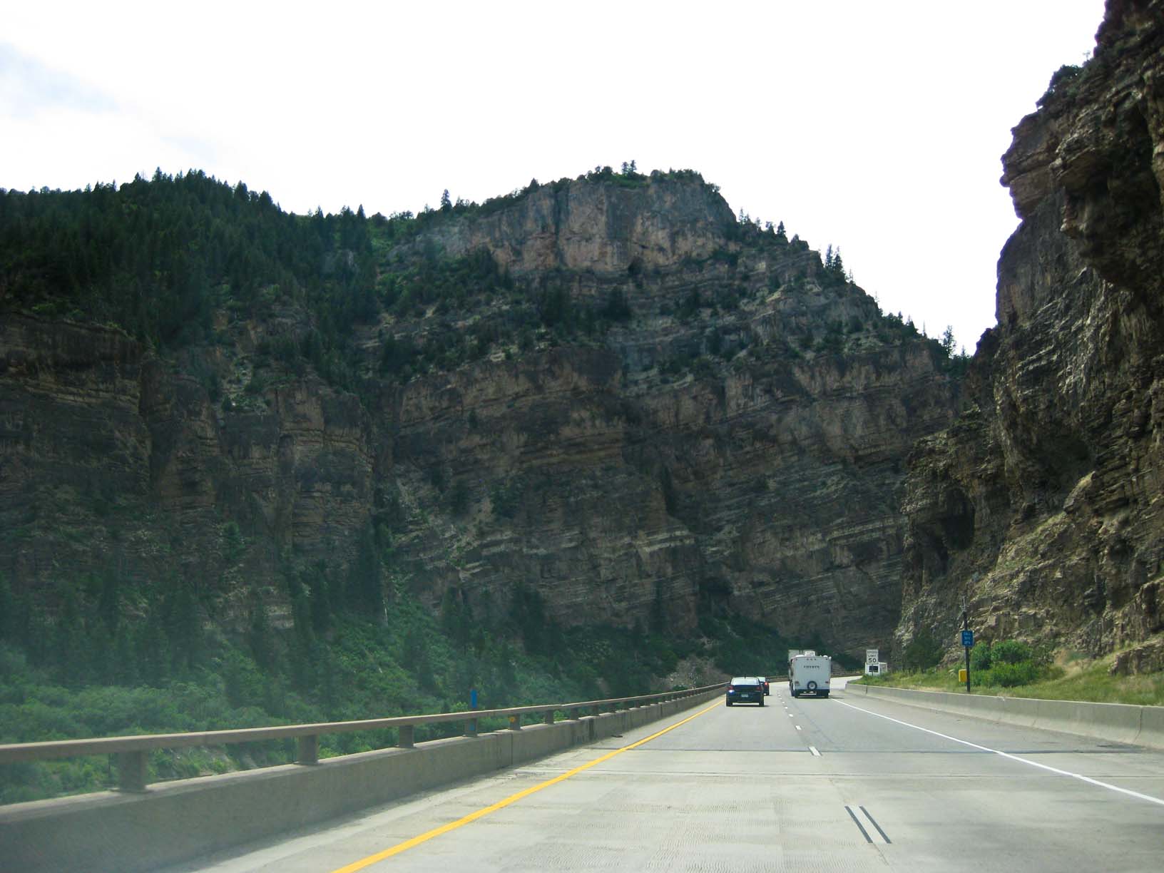
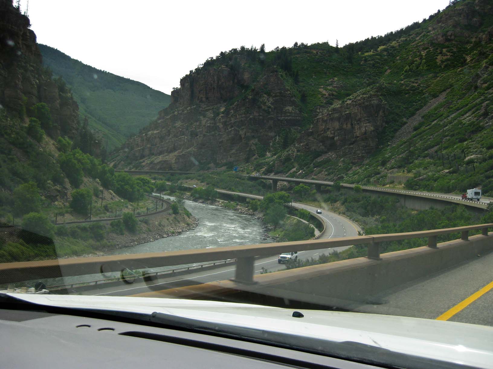
Glenwood Canyon, along the Colorado River, I-70 in western CO |
Glenwood Canyon, along the Colorado River, I-70 in western CO |
Glenwood Canyon, along the Colorado River, I-70 in western CO |
|
|
|
|
|
|
|
Glenwood Canyon, along the Colorado River, I-70 in western CO |
|
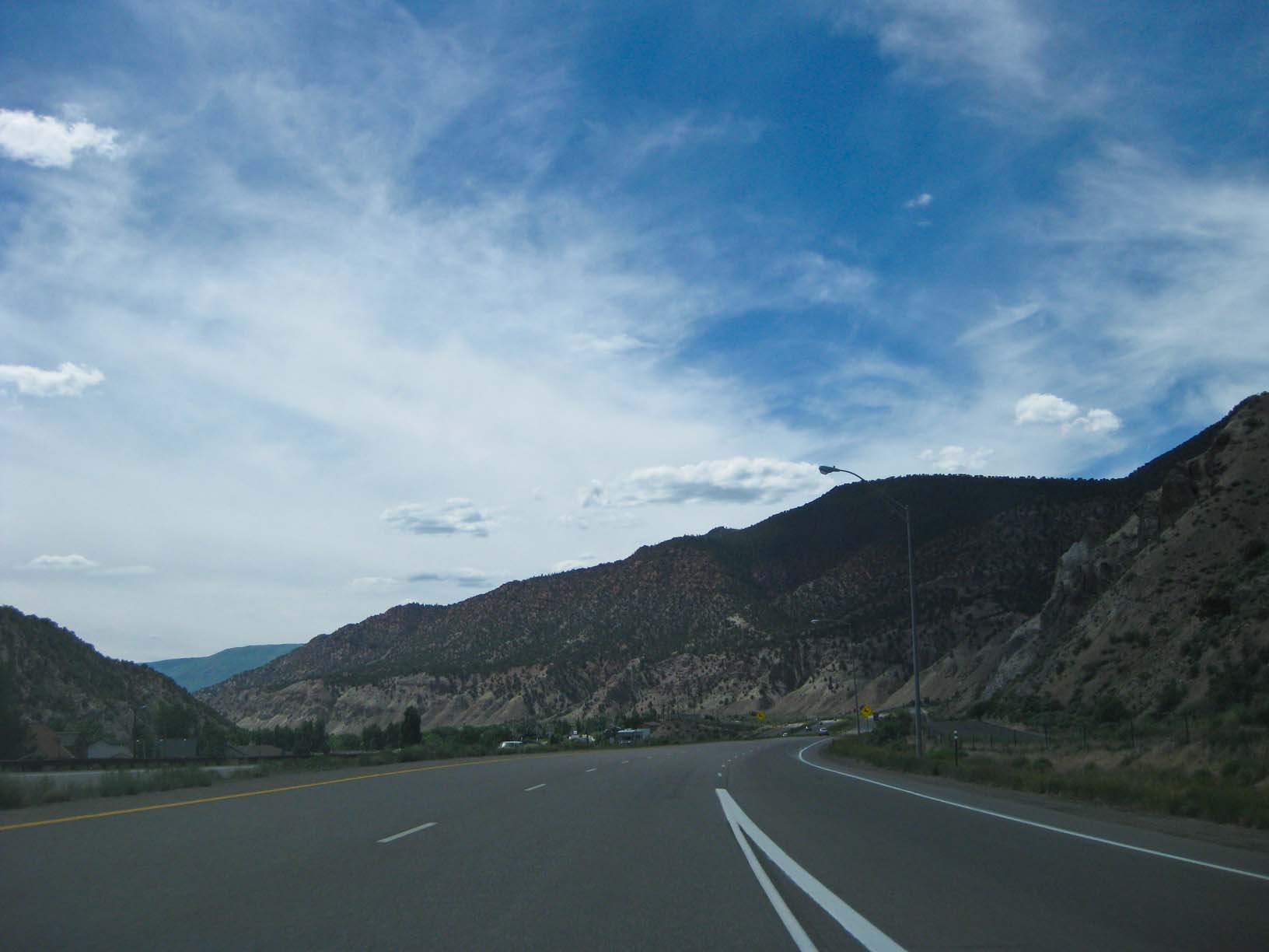
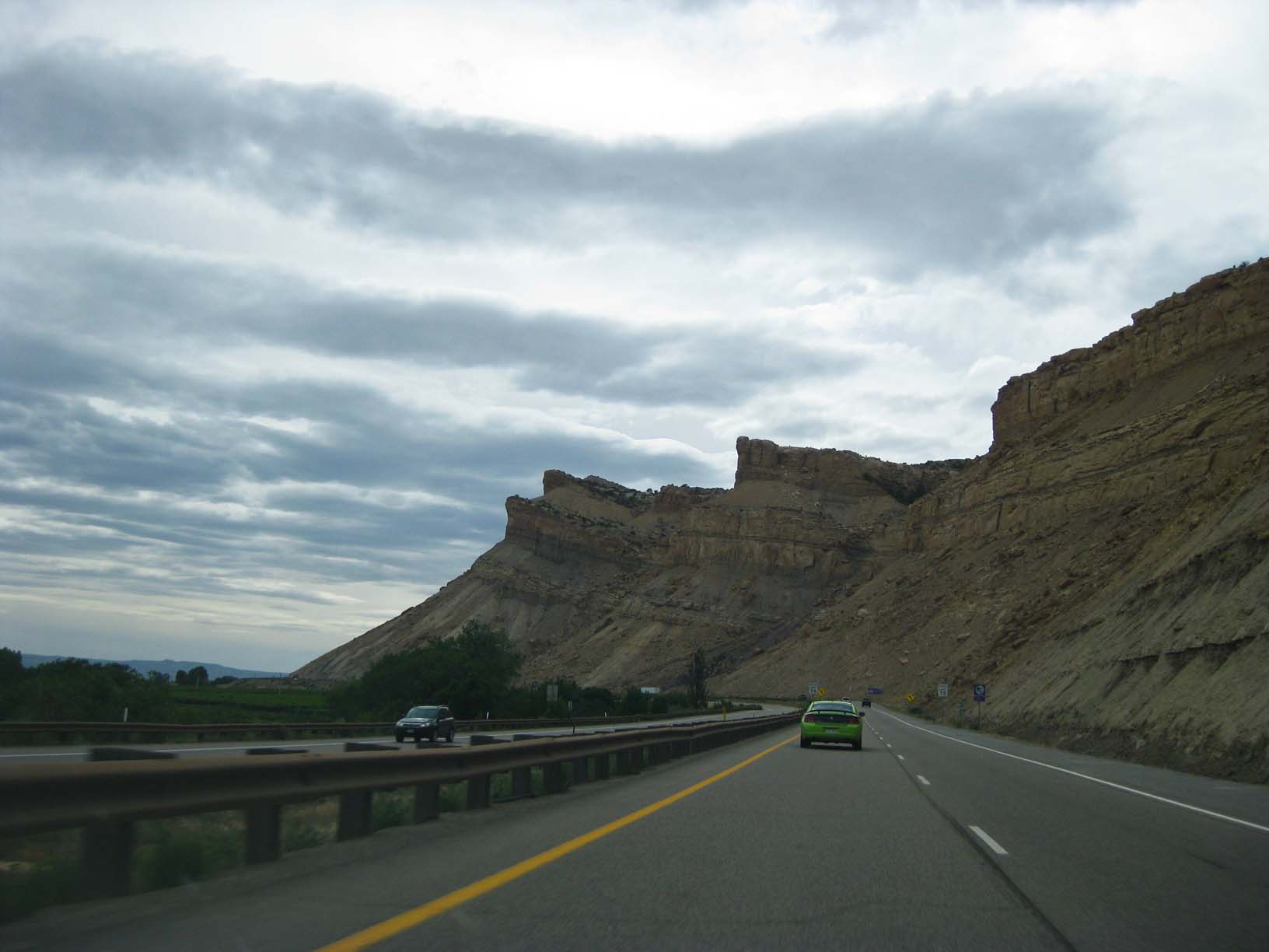
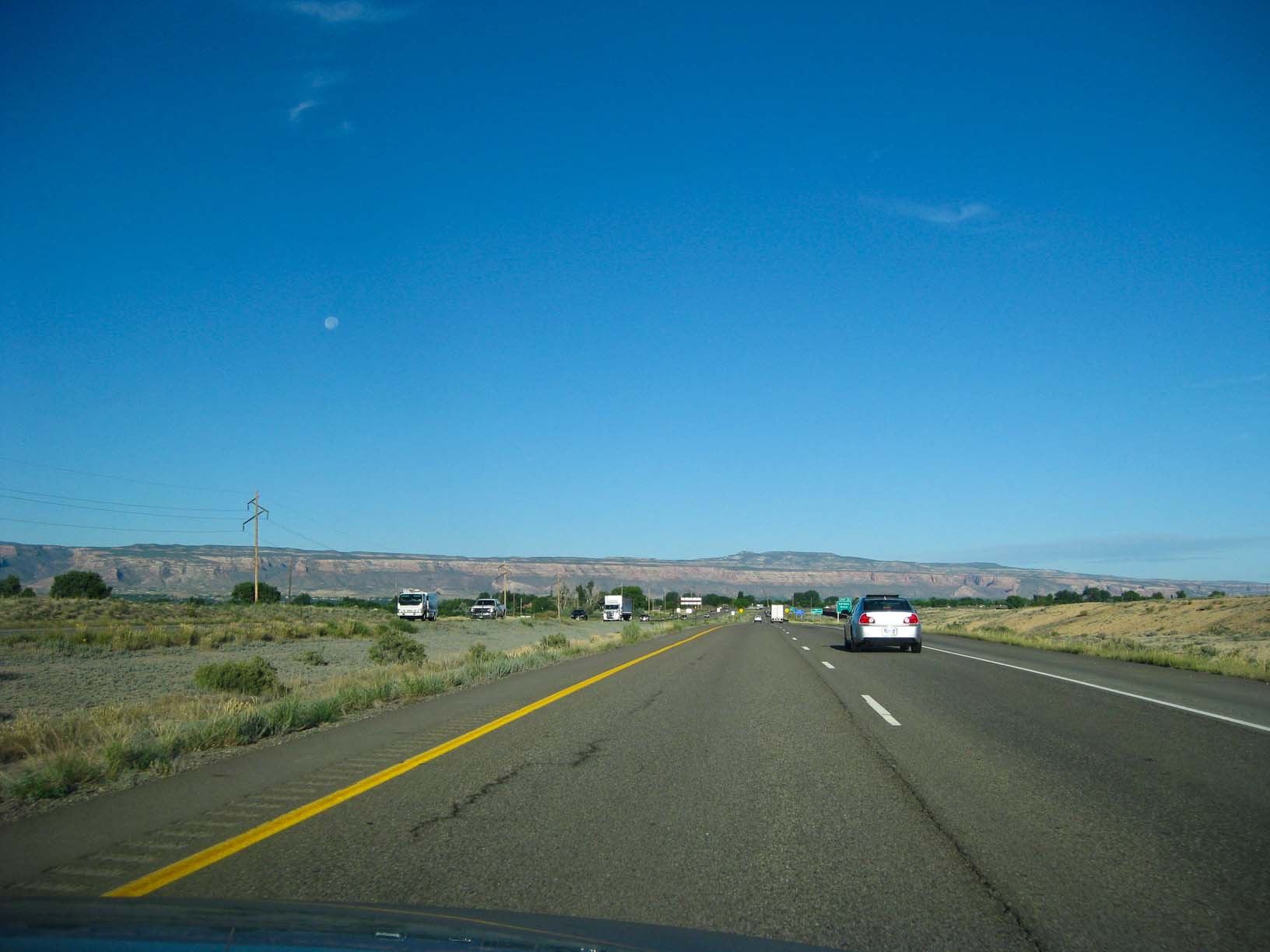
Near Grand Junction, CO |
Near Grand Junction, CO |
Far western CO |
|
|
|
|
|
|
|
|
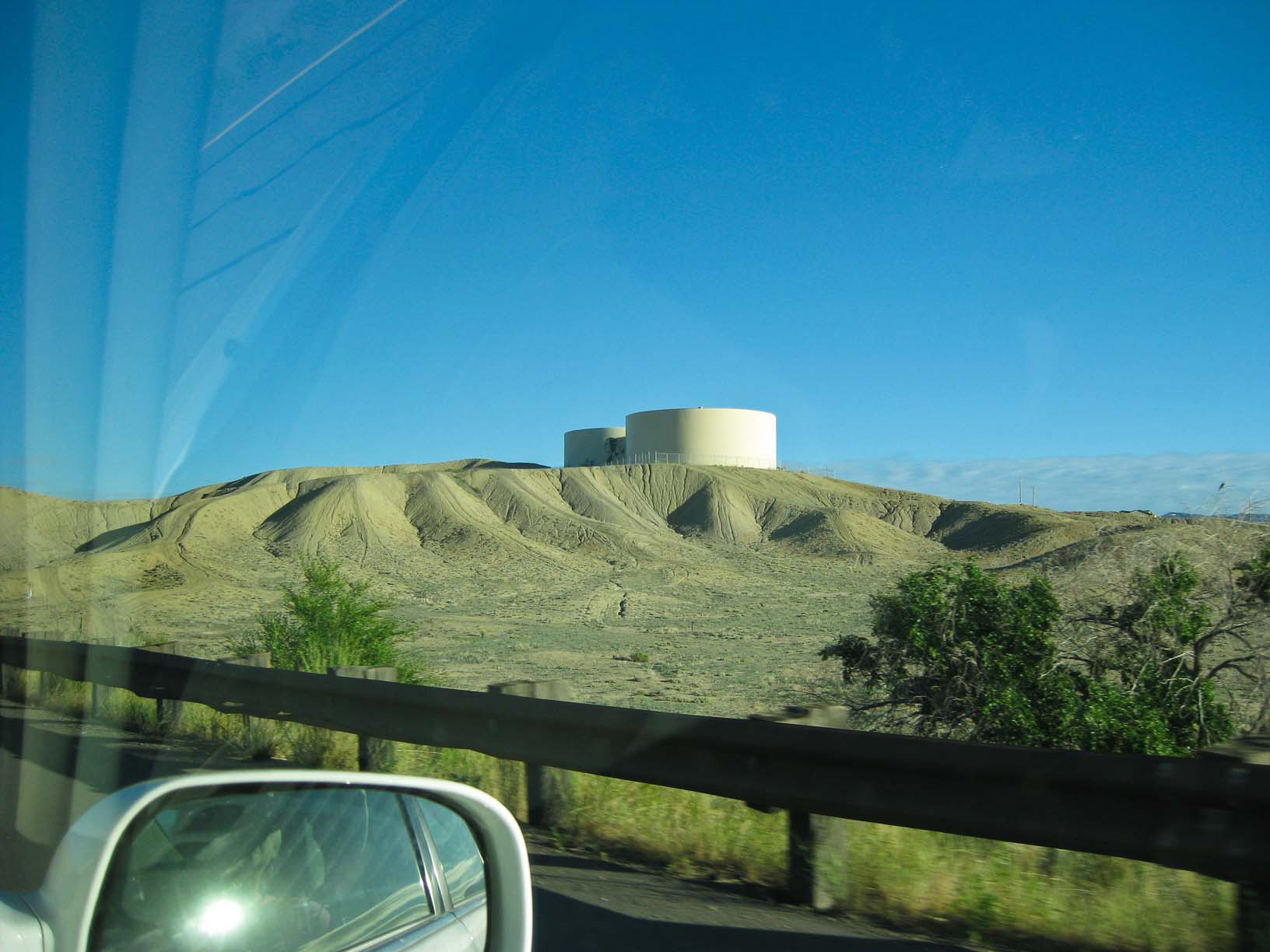
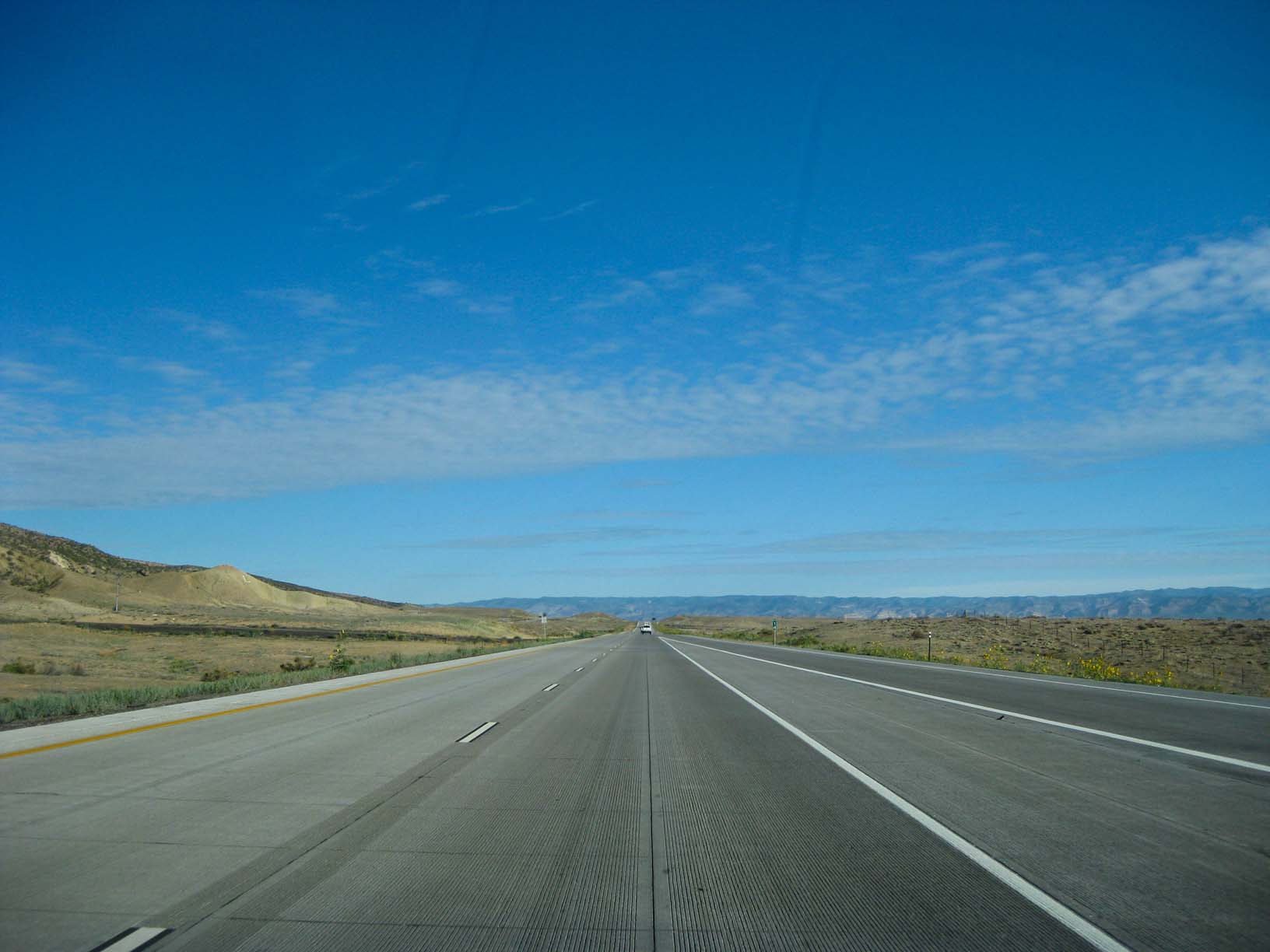
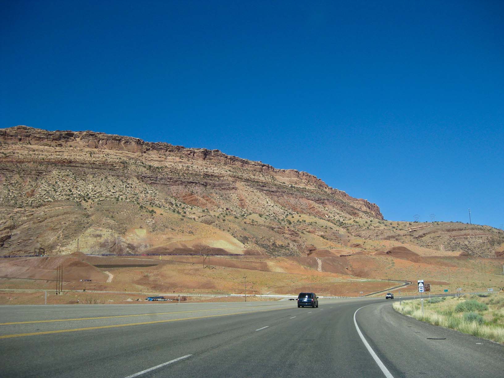
Near the Utah border |
|
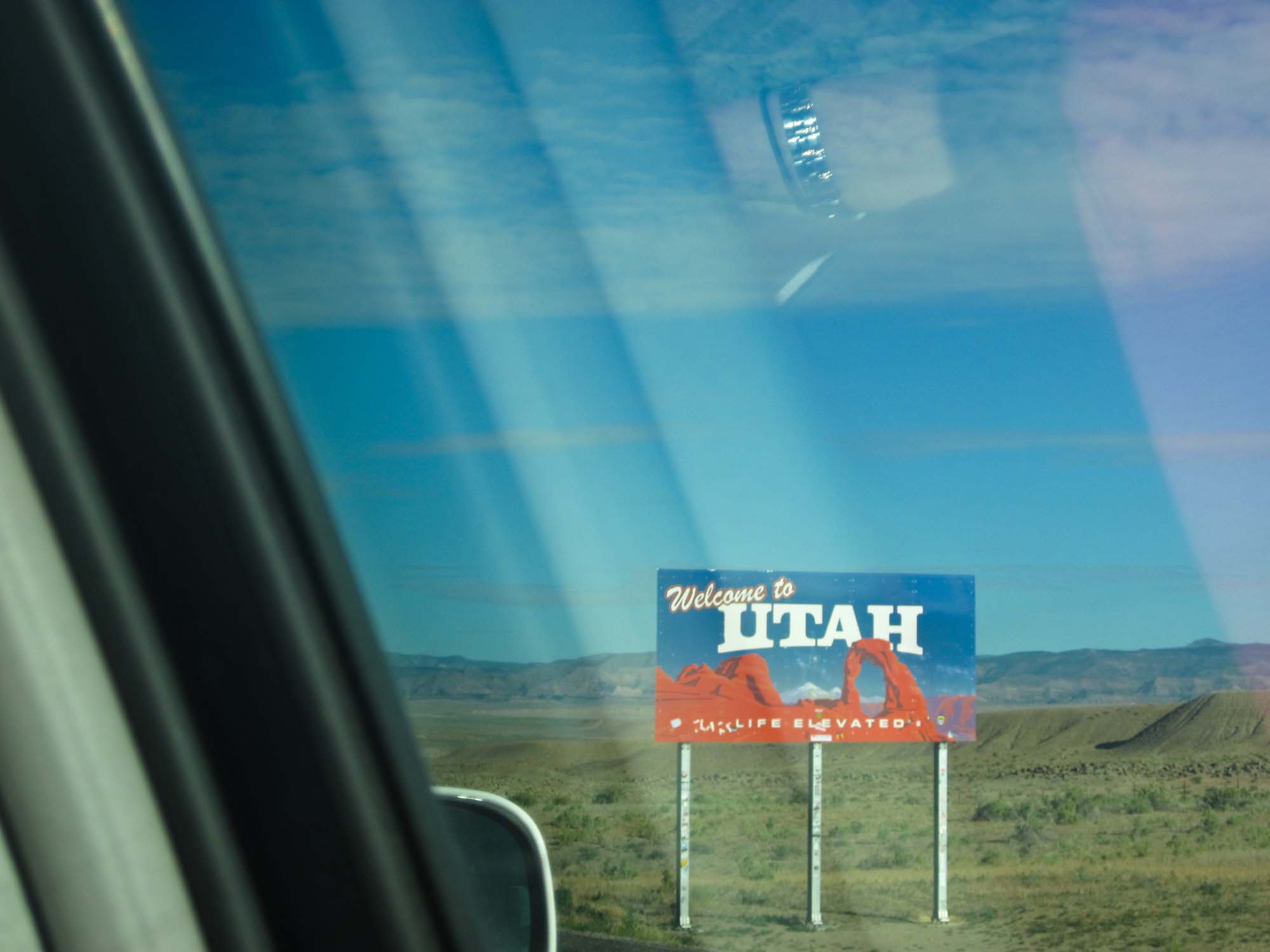
The Utah border |
|
|
|
|
|
|
|
|
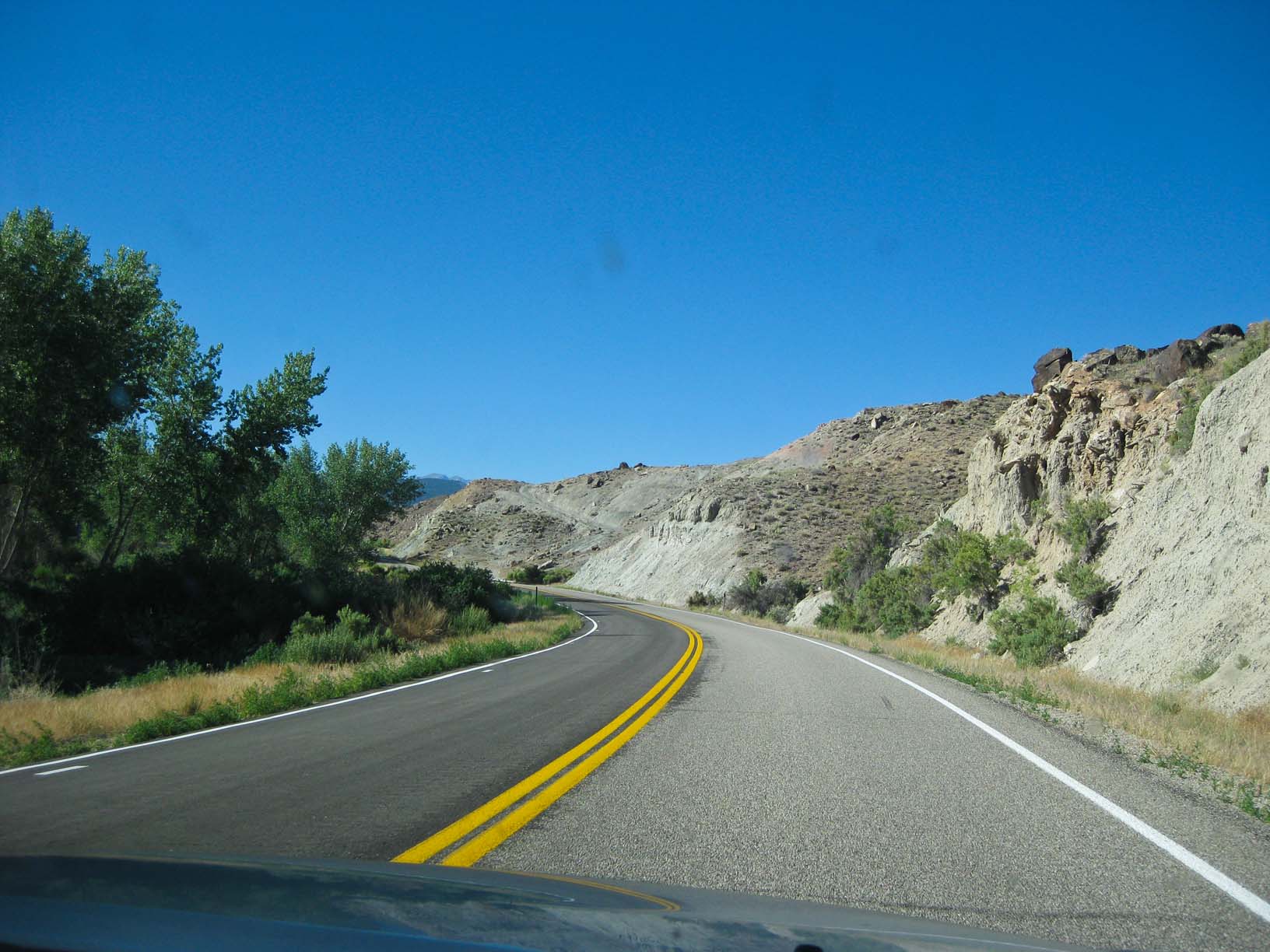
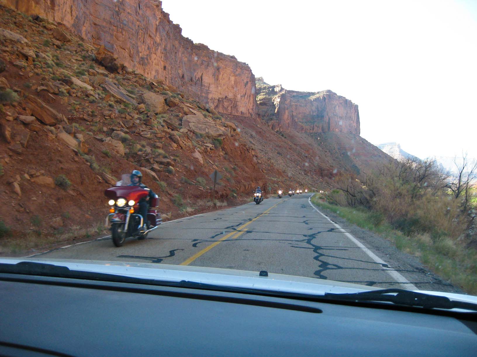
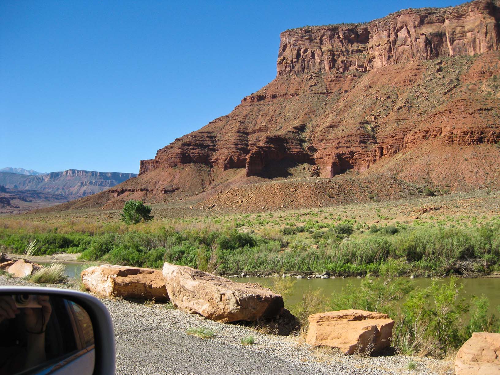
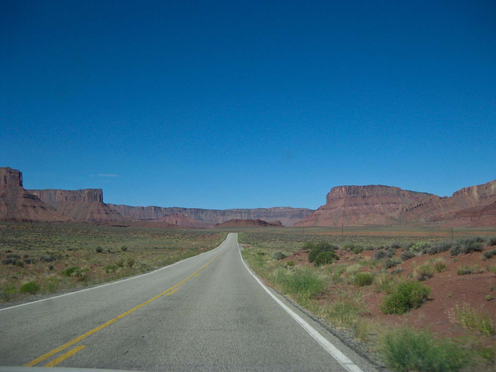
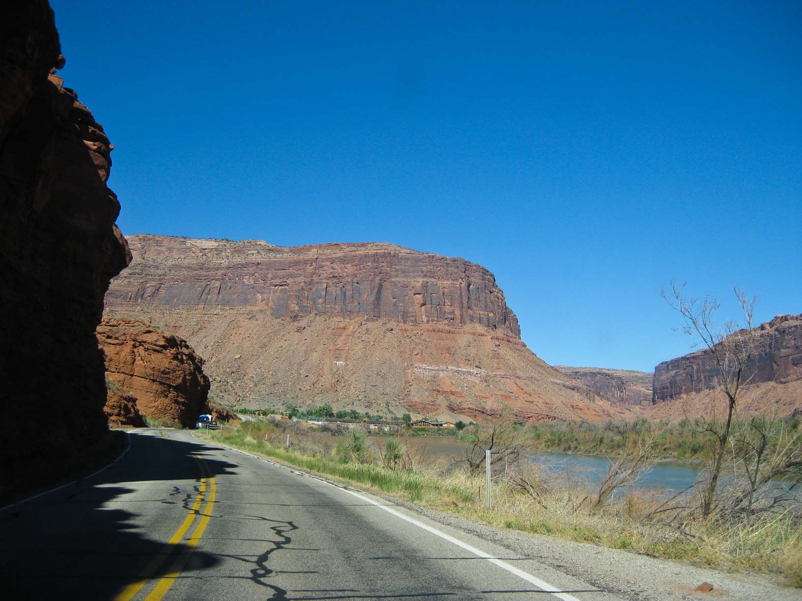
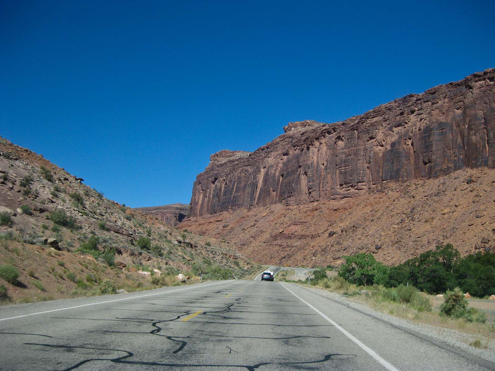
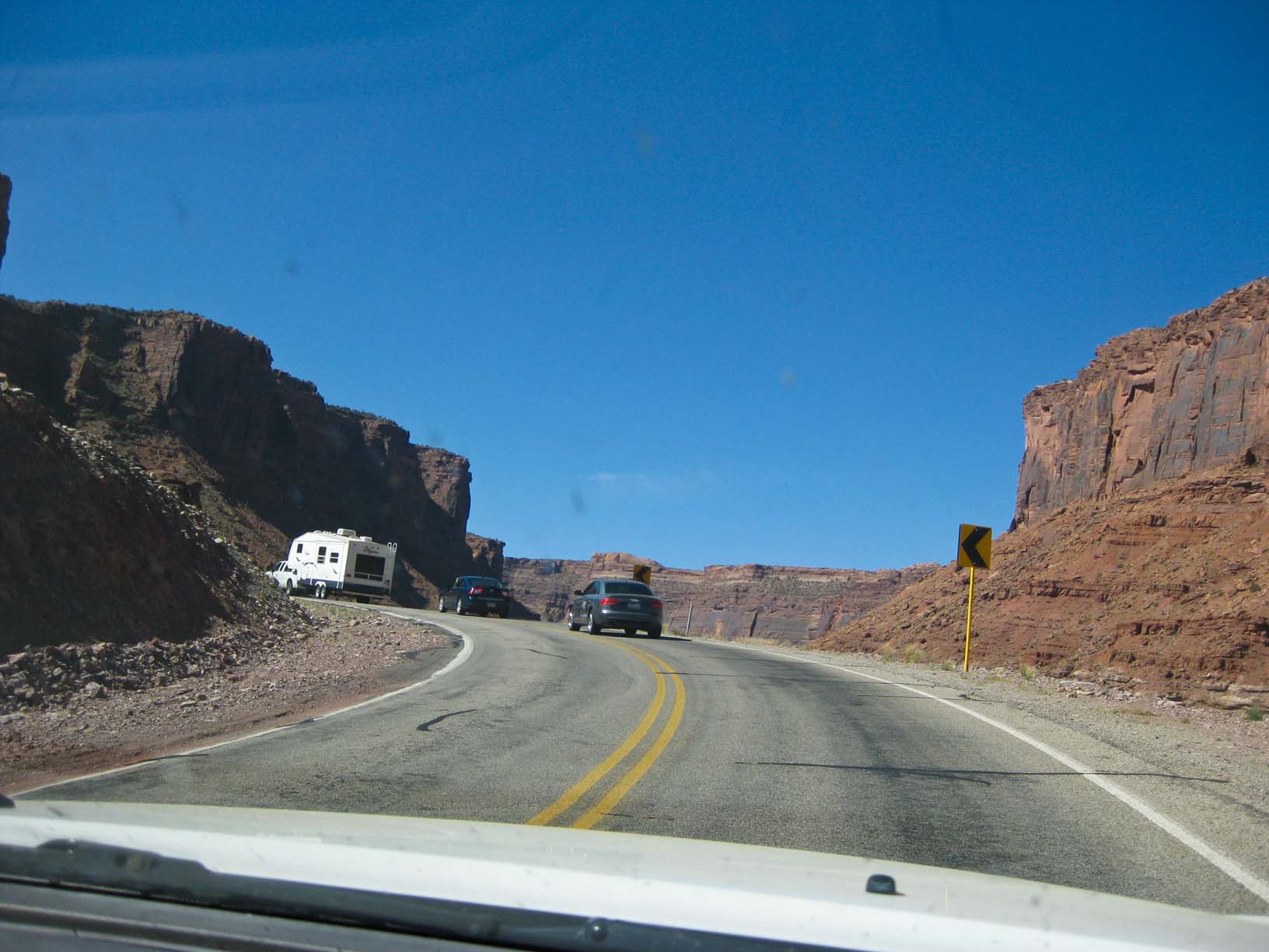
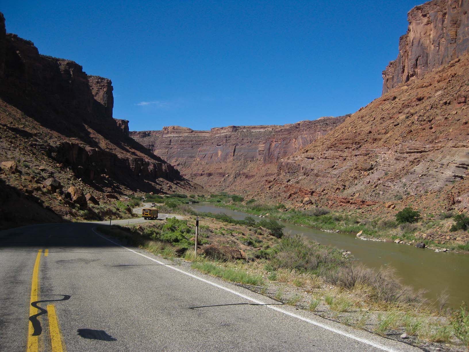
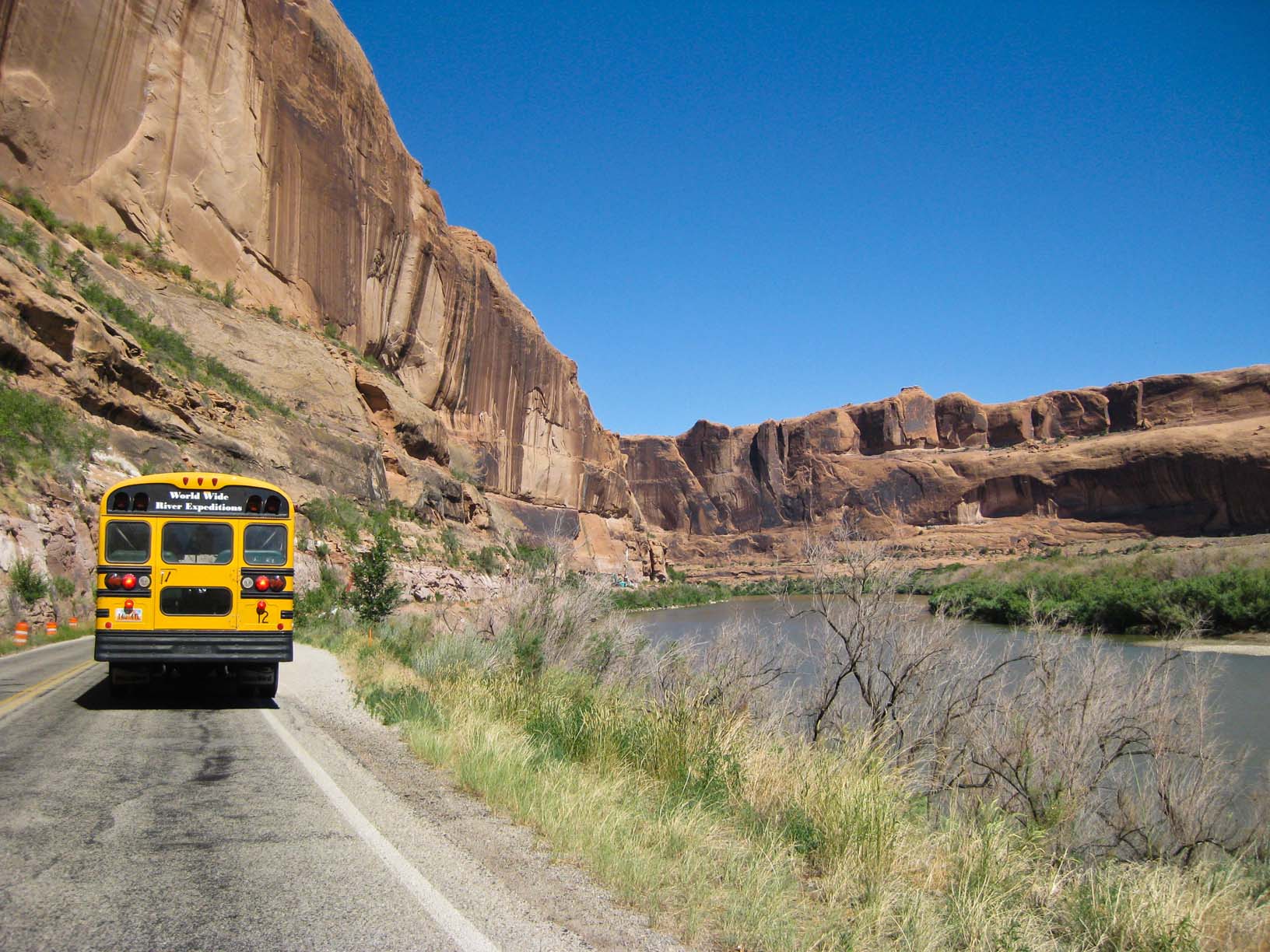
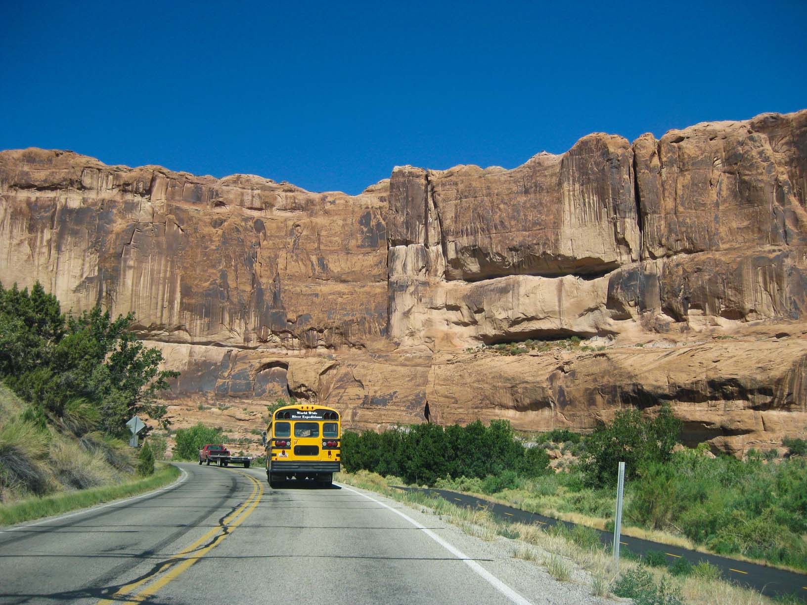
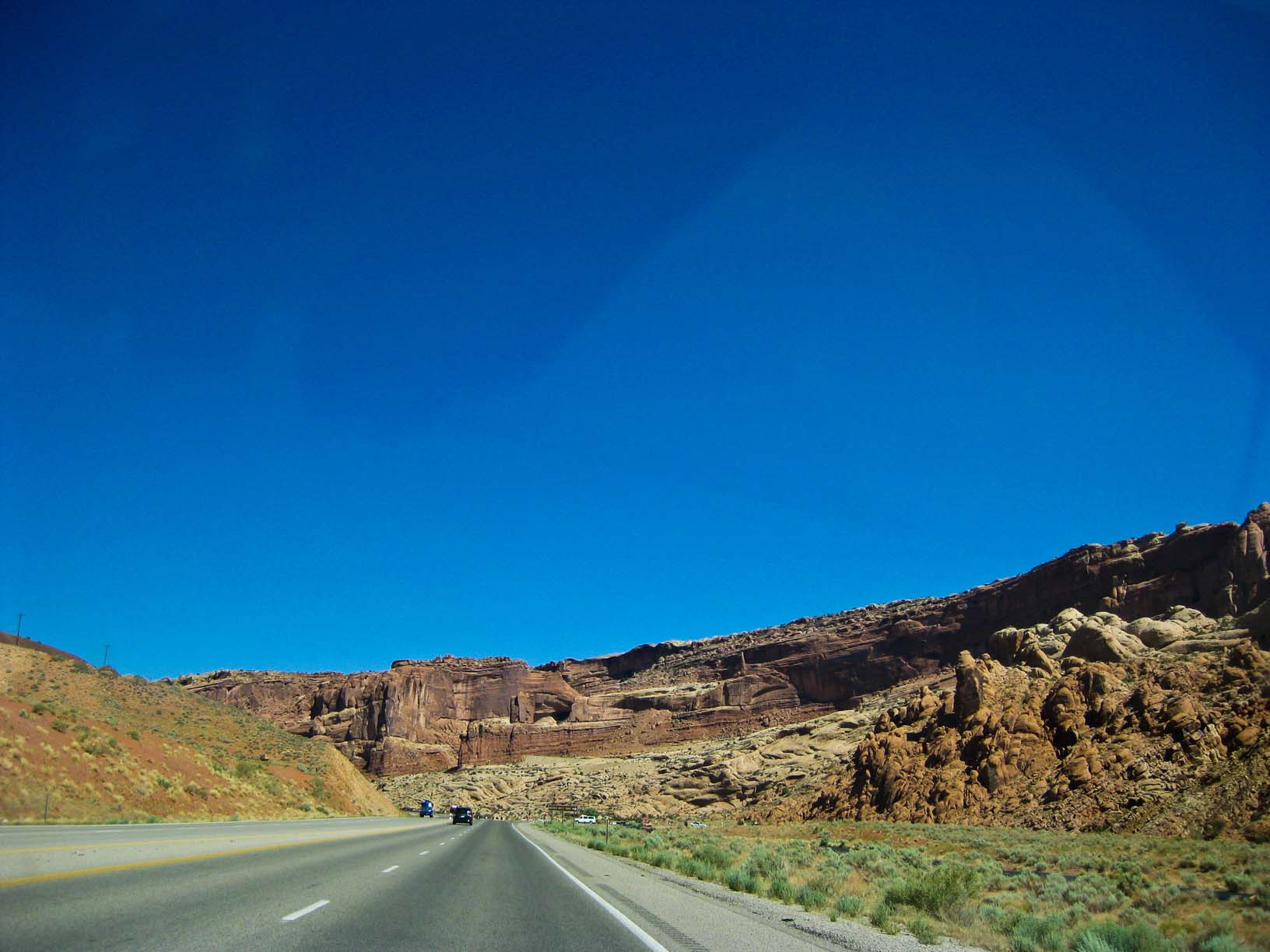
Utah Hwy 128 along the Colorado River |
Utah Hwy 128 along the Colorado River |
Utah Hwy 128 along the Colorado River |
Utah Hwy 128 along the Colorado River |
Utah Hwy 128 along the Colorado River |
|
|
|
|
|
|
|
Utah Hwy 128 along the Colorado River |
Utah Hwy 128 along the Colorado River |
Utah Hwy 128 along the Colorado River |
Utah Hwy 128 along the Colorado River |
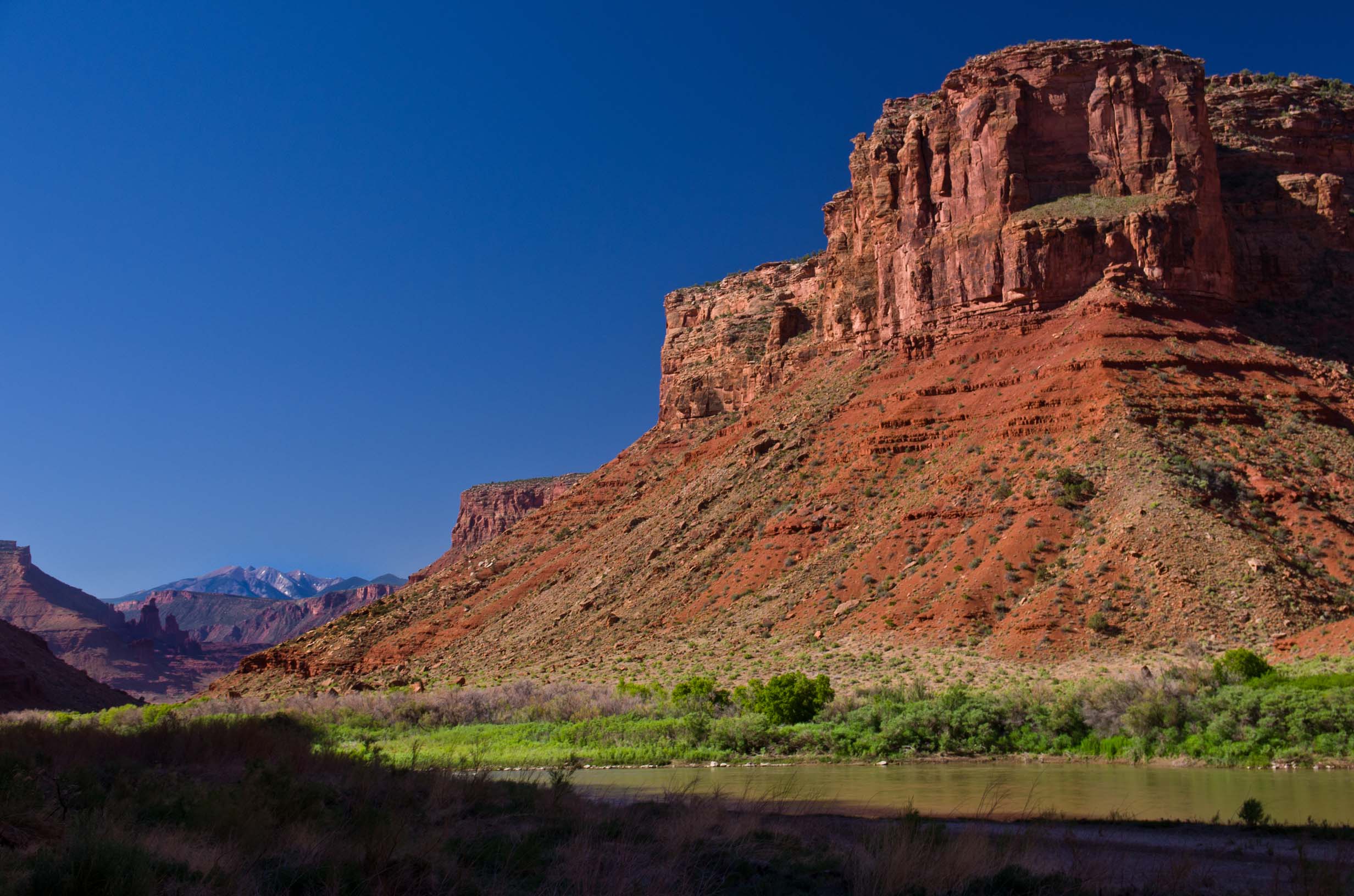
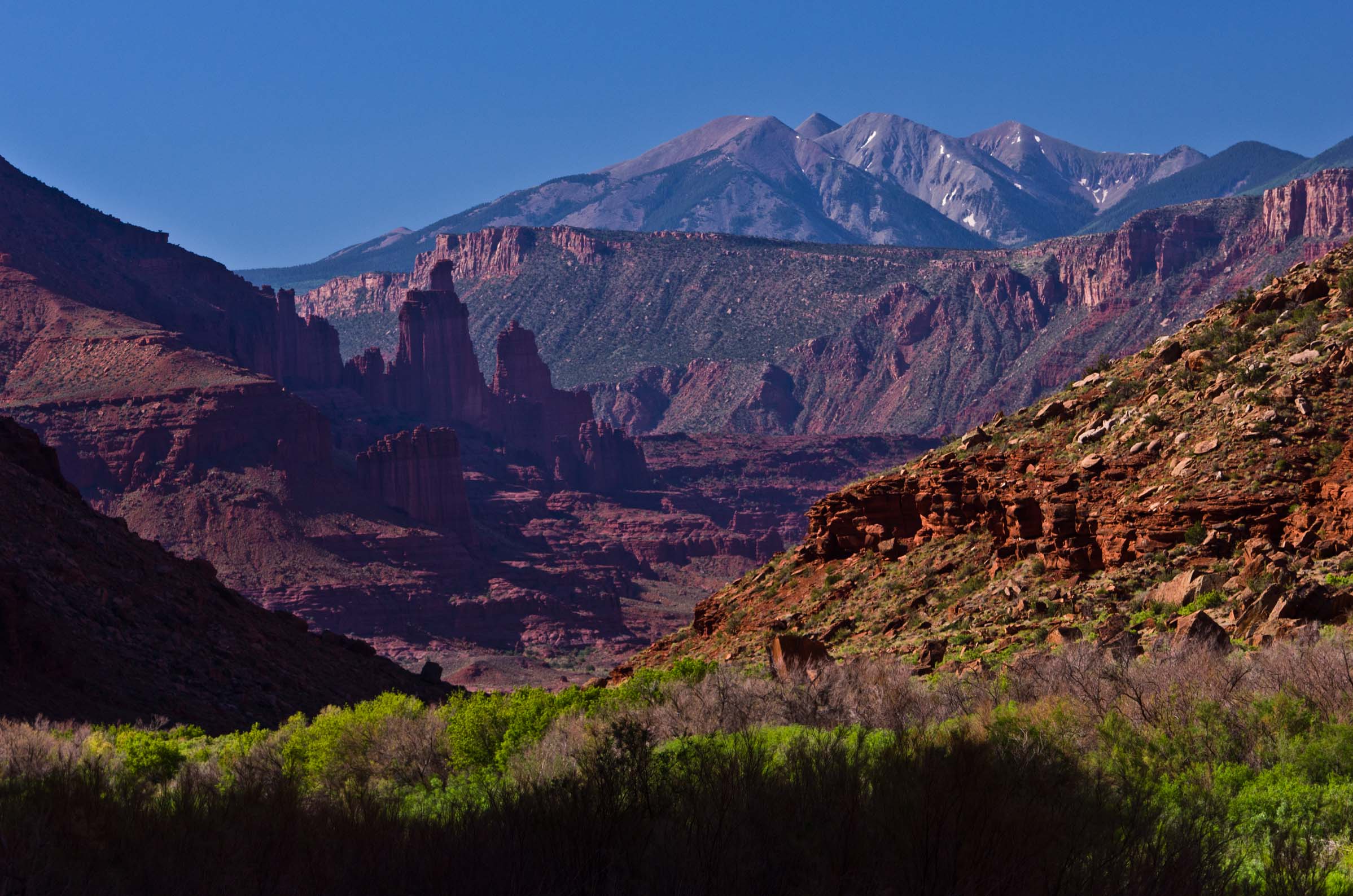
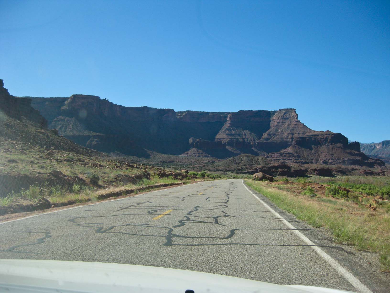
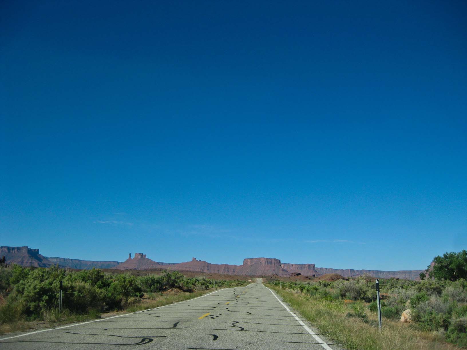
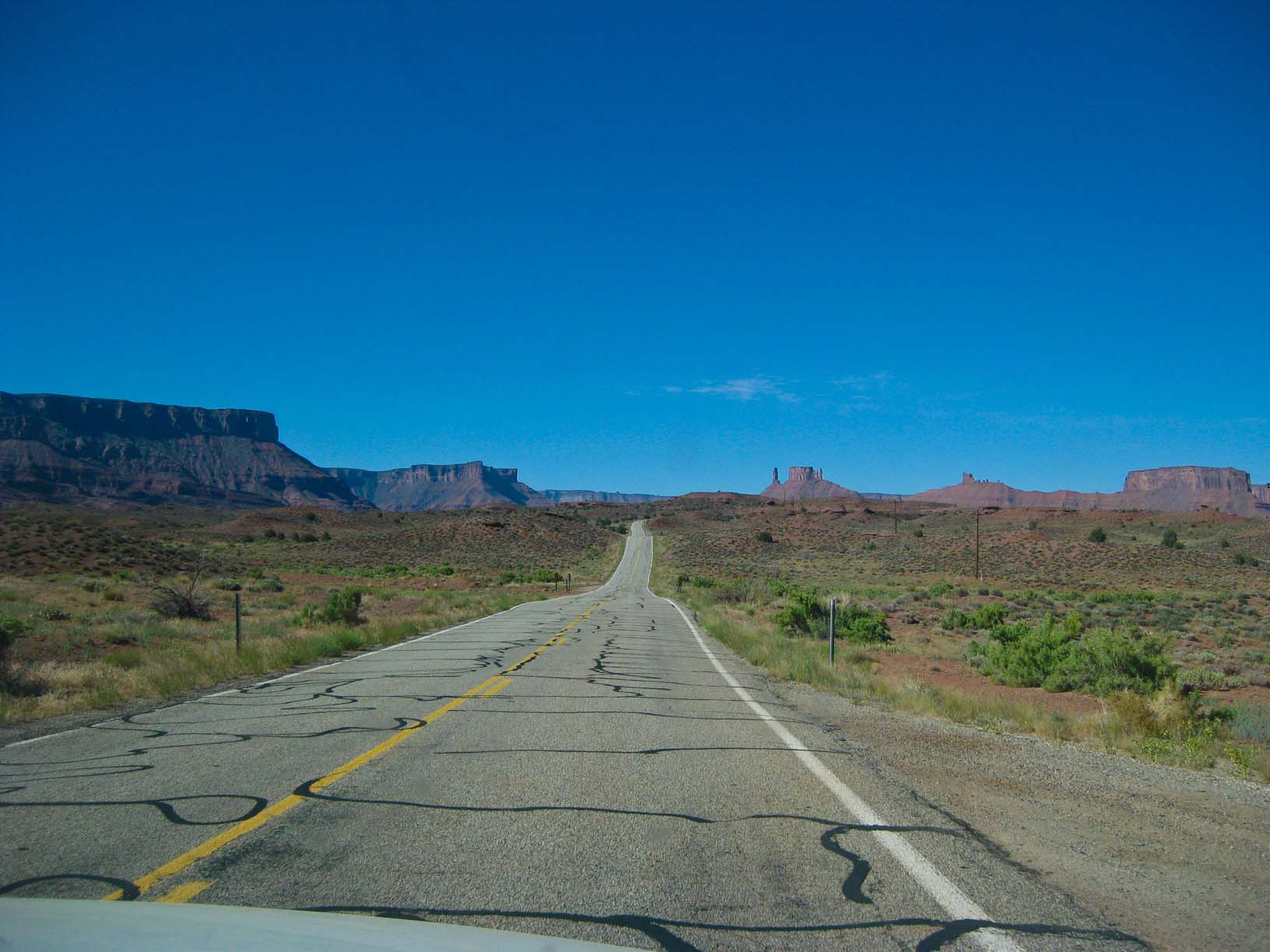
Near Moab, UT |
|
|
|
|
|
|
|
|
|
|
|
|
|
Arches NP Delicate Arch Viewpoint Trail |
||||
|
|
|
|
|
|
|
Arches NP Delicate Arch from the viewpoint |
Arches NP Delicate Arch Viewpoint Trail |
Arches NP Delicate Arch Viewpoint Trail |
Arches NP Skyline Arch |
|
|
|
|


|
|
|
|
Arches NP Skyline Arch |
Skyline Arch, rocks: Ancient seabed above Jamie |
Prickly Pear, Arches NP |
Track, Arches NP |
|
|
|
 |
|
|
|
|
Double Arch, Arches NP |
Double Arch, Arches NP |
Double Arch, Arches NP |
Leaving Arches NP (the Balanced Rock) |
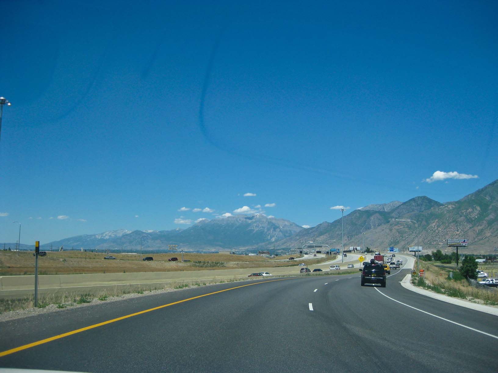
Across the Wasatch Range in Utah on the way to Salt Lake City |
|
|
|
|
|
|
|
|
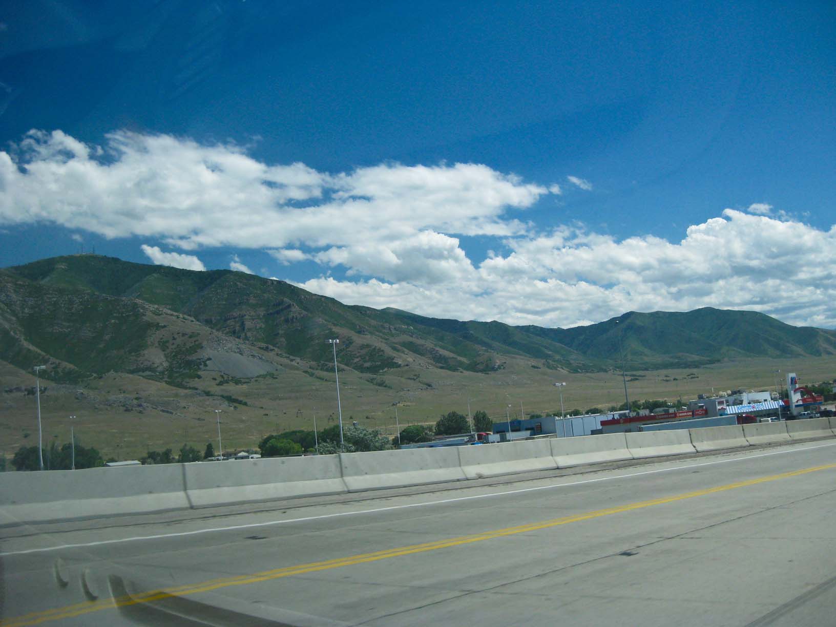
Salt Lake Valley and the Wastch Range |
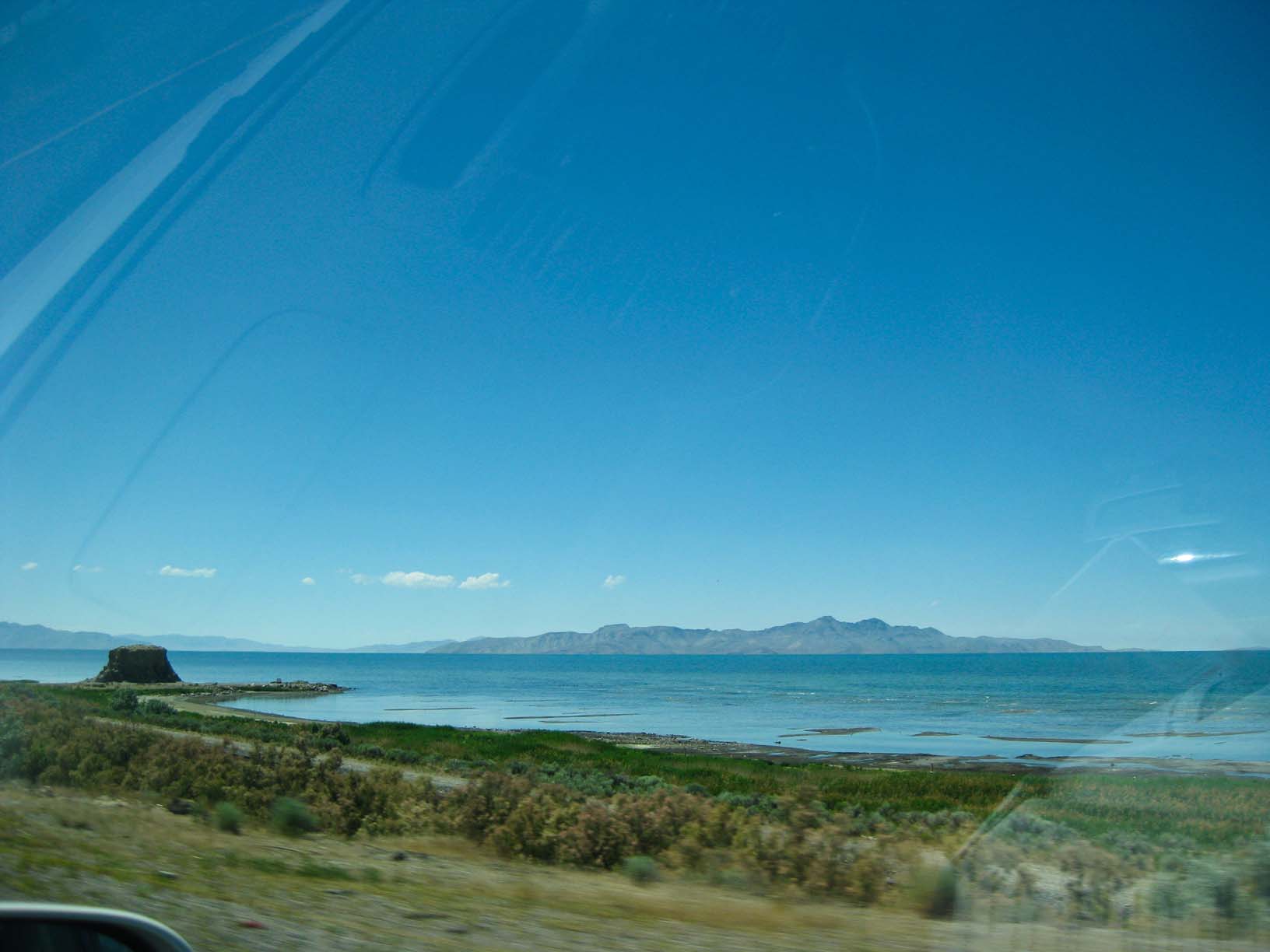
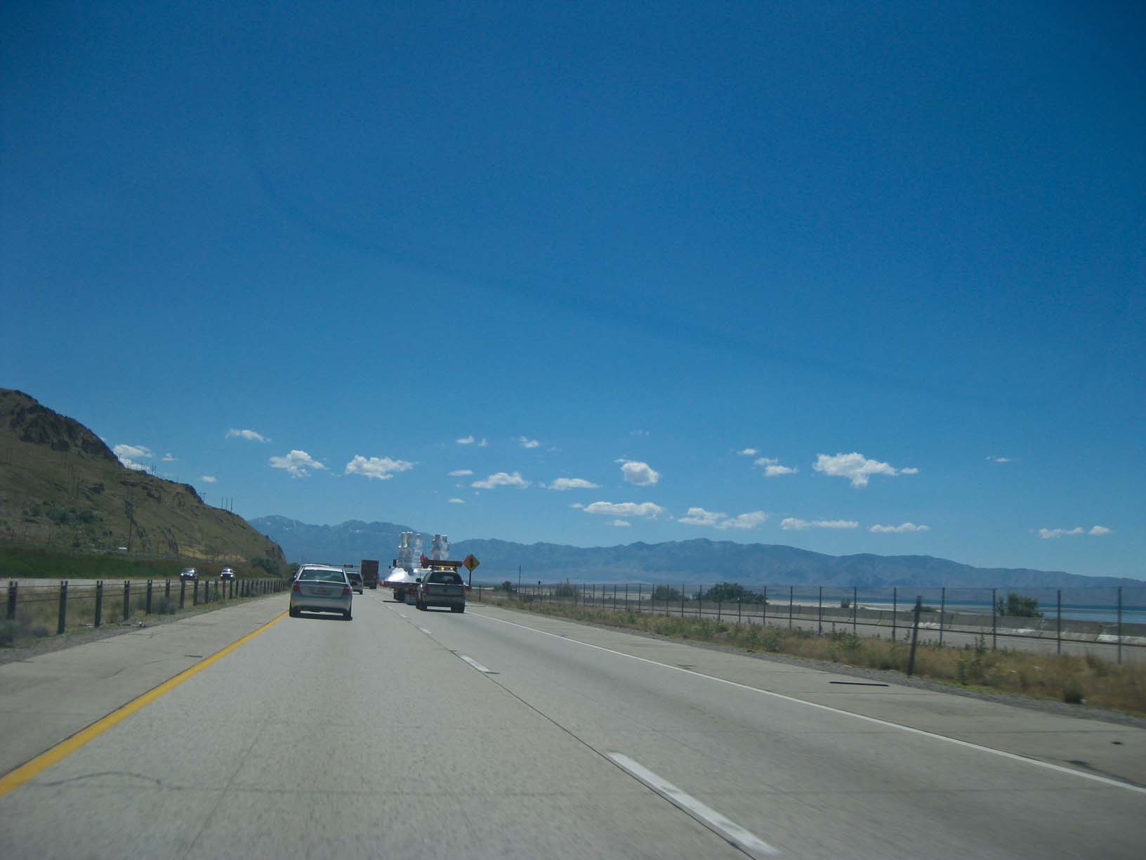
The Great Salt Lake, west of Salt Lake Sity |
|
At our hotel, Salt Lake City |
|
|
|
|
|
|
|
Dawn, Great Salt Lake |
To the Bonneville Salt Flats |
|||
|
|
|
|
|
|
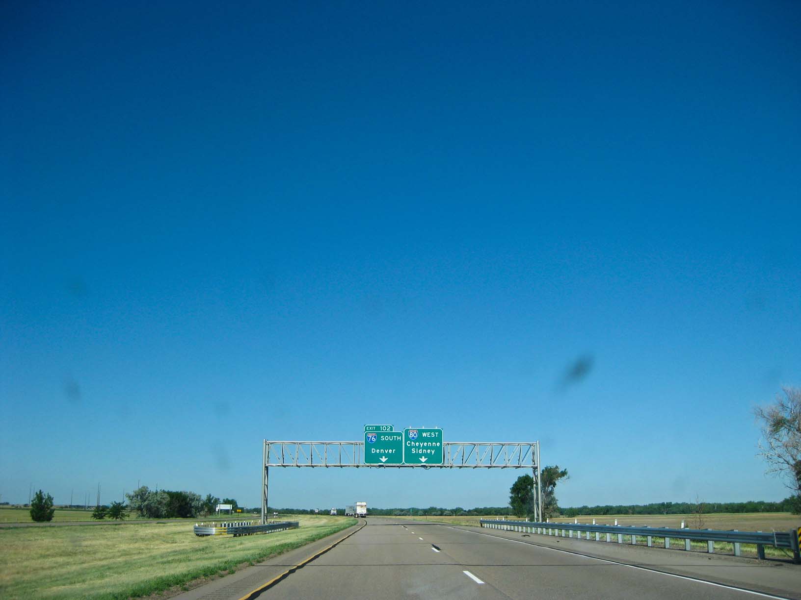
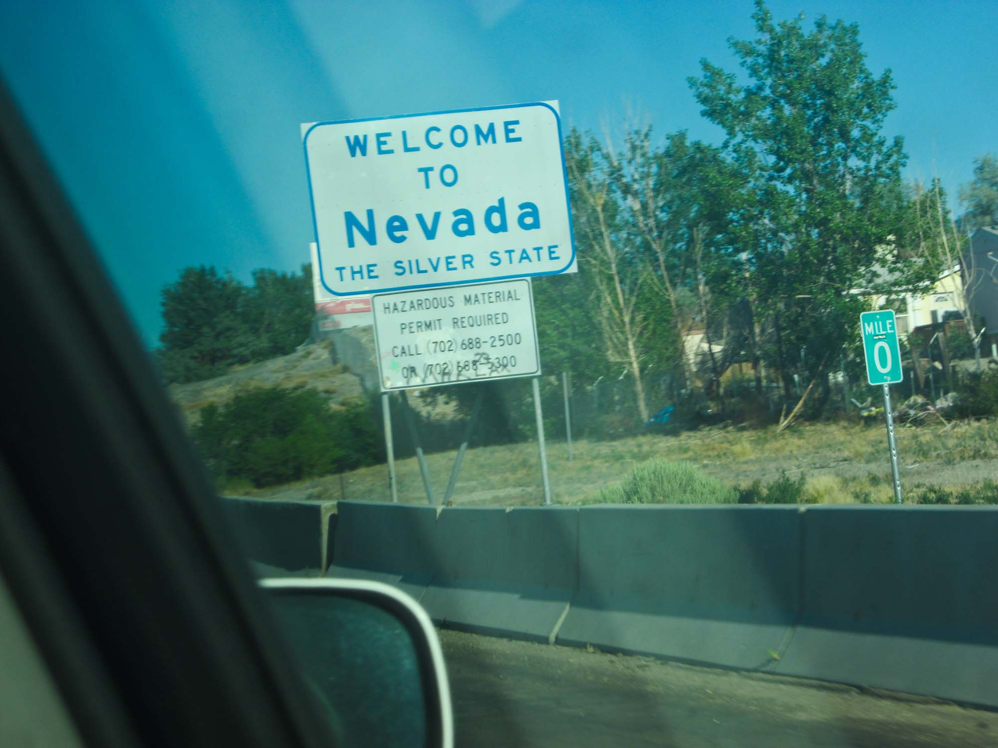
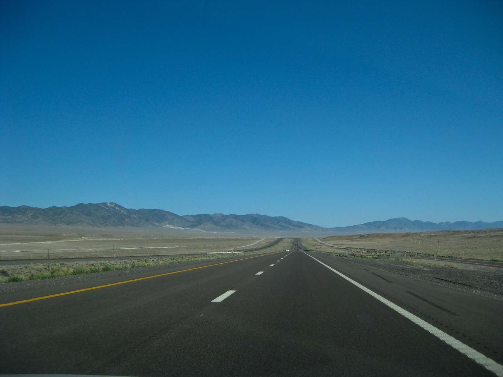
| Into Nevada |
|
Into Idaho |
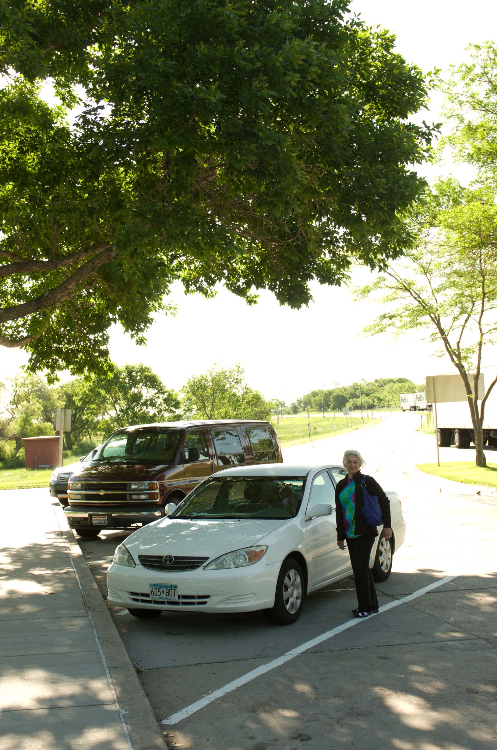
Lunch break, Filer, Idaho |
|
|
|
|
|
|
|
|
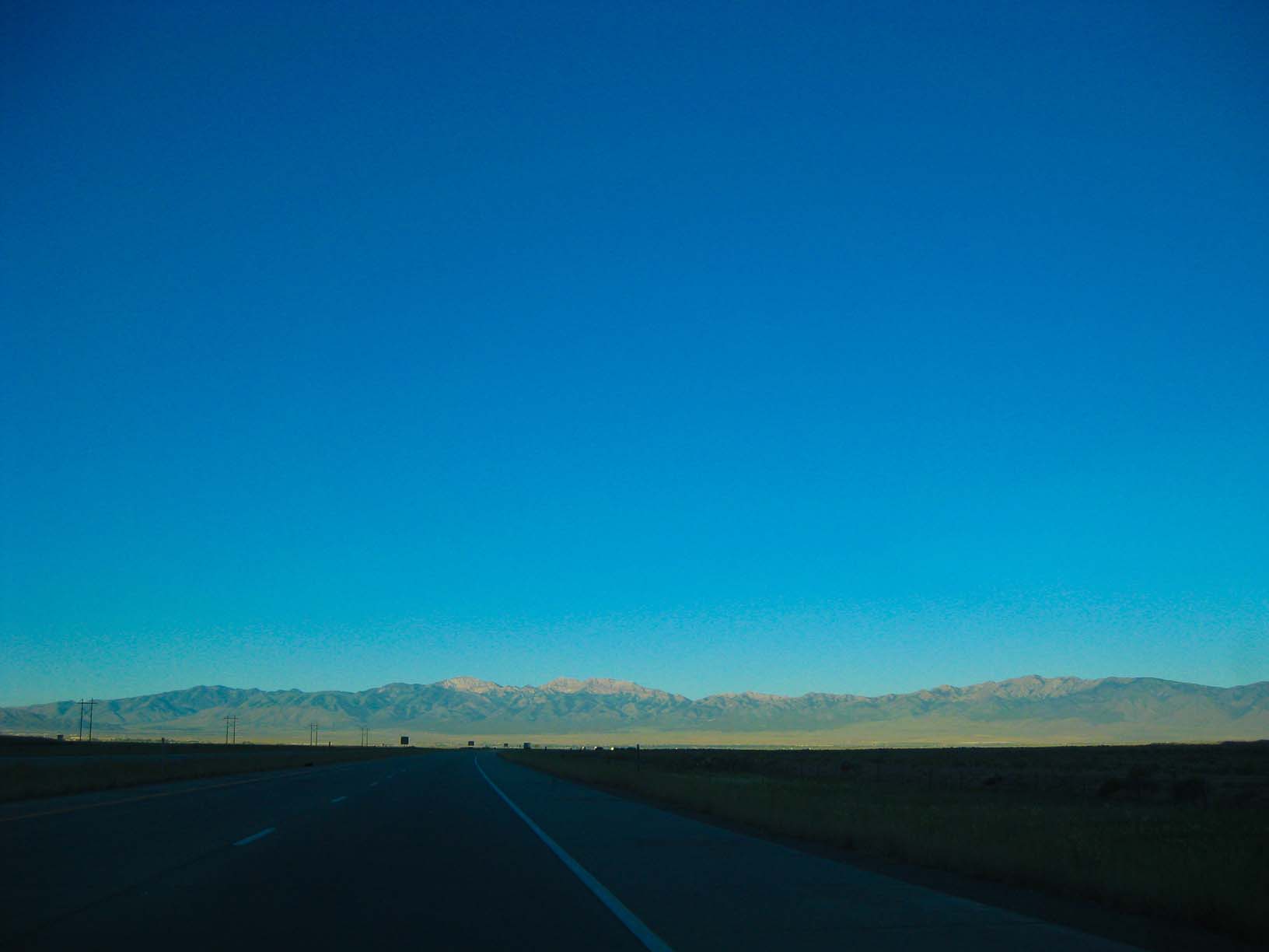
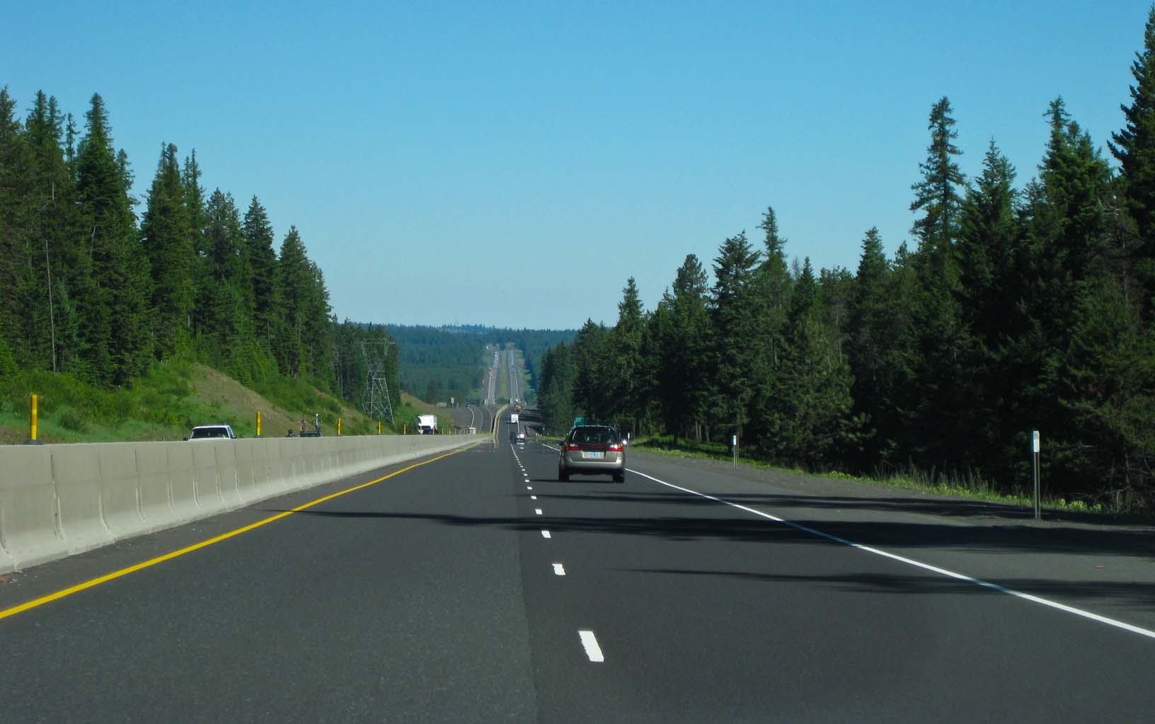
The Snake River Plain, Idaho |
|
Electric motorcycle, Mountain Home, ID Jamie's photos of himself in the car |
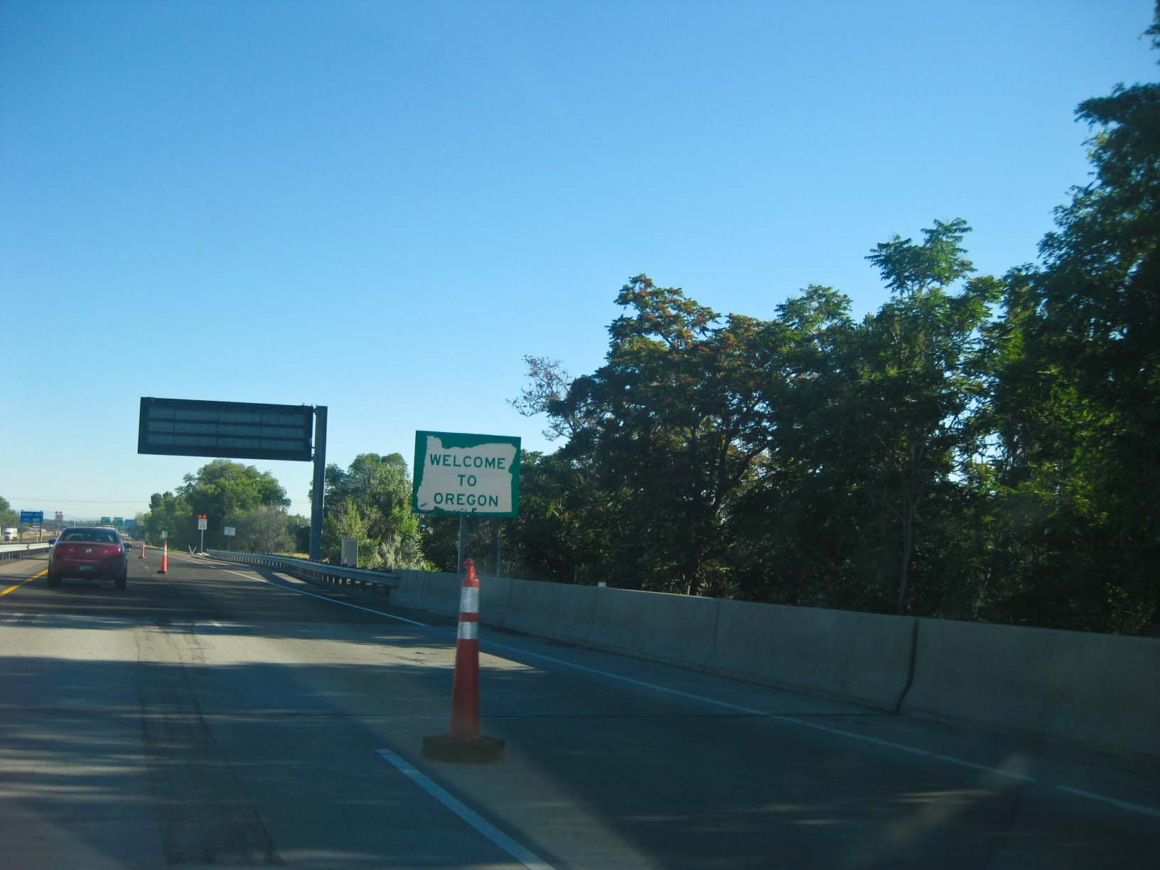
Into Oregon! |
|
|
|
|
|
|
|
|
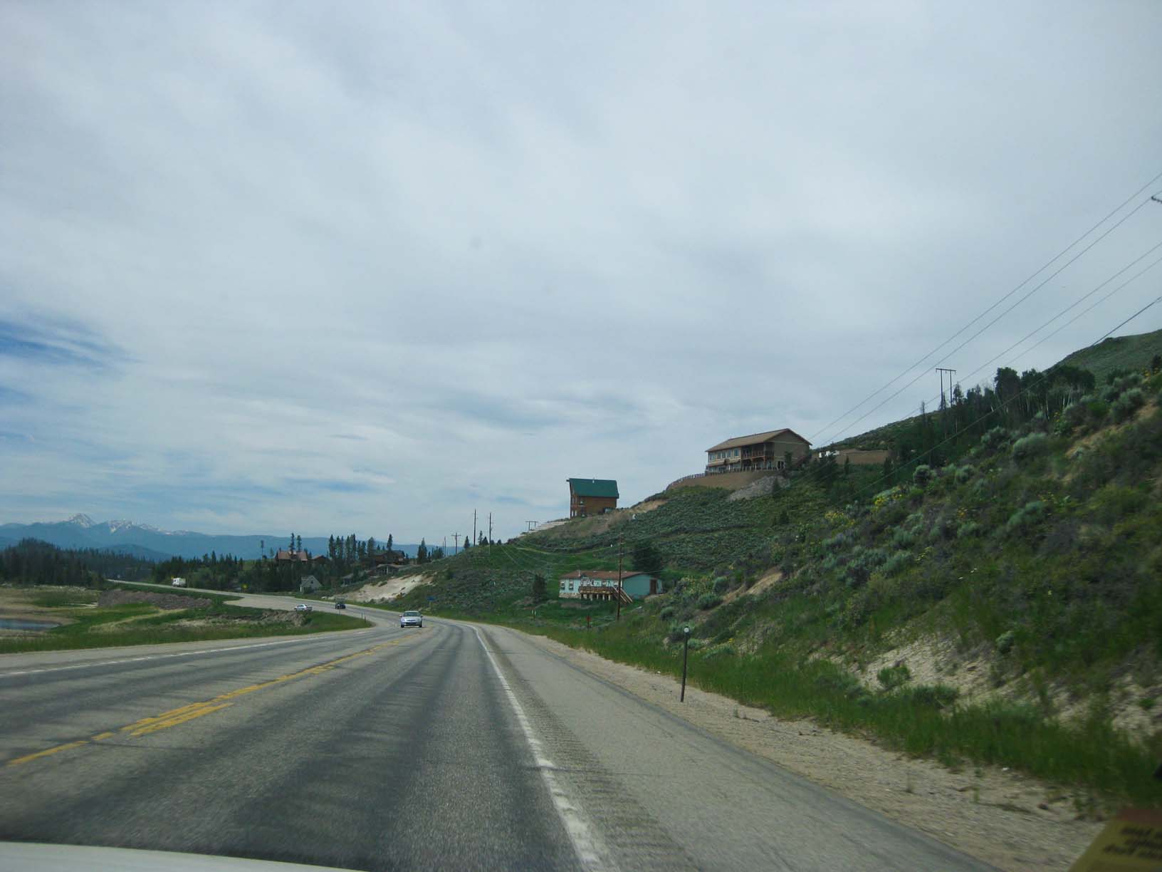
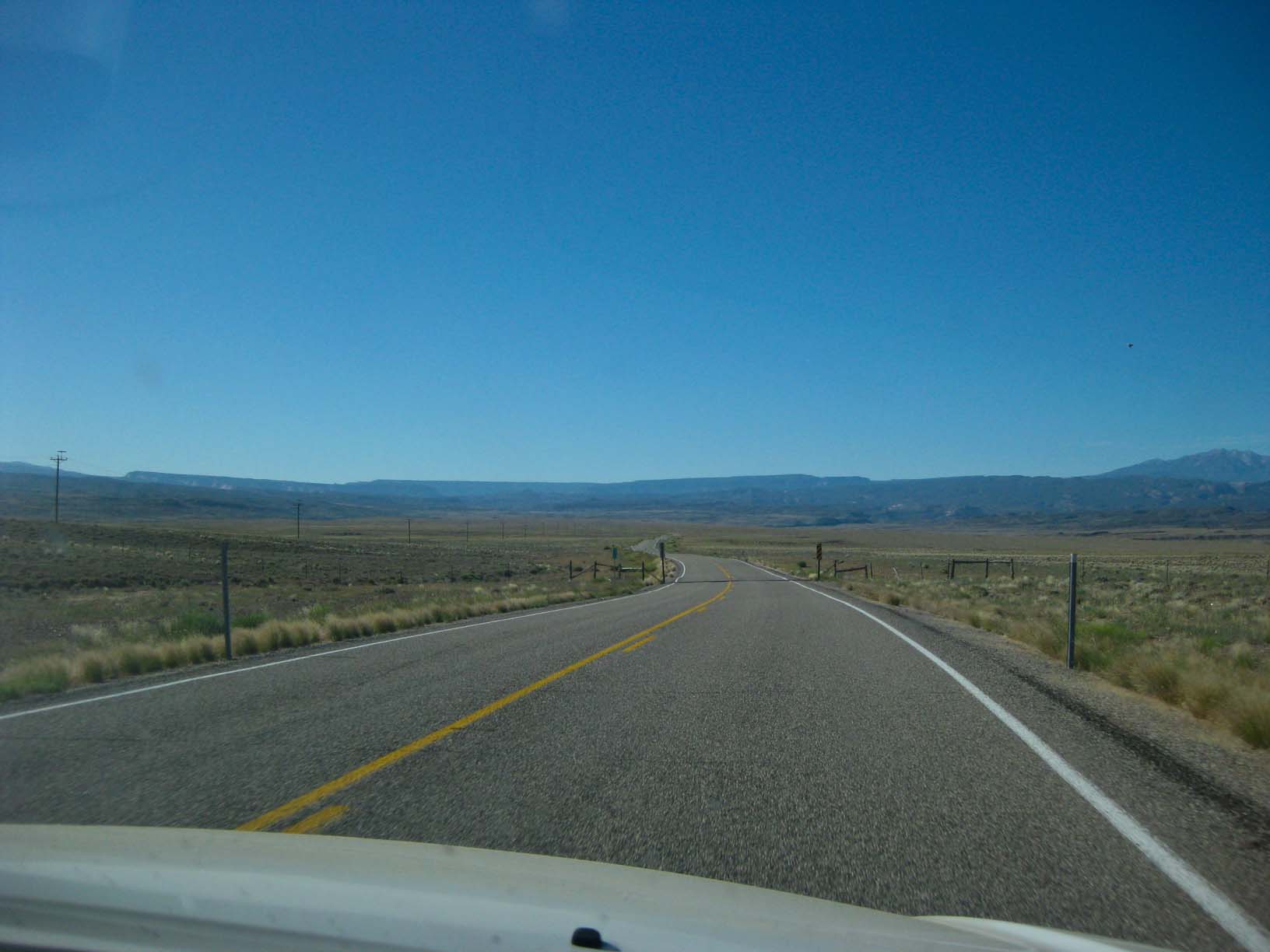
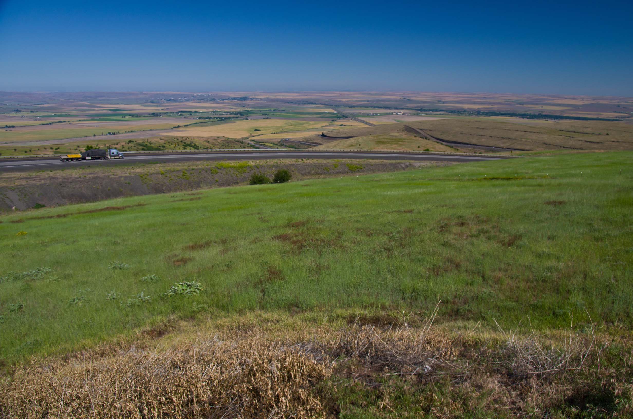
Eastern Oregon |
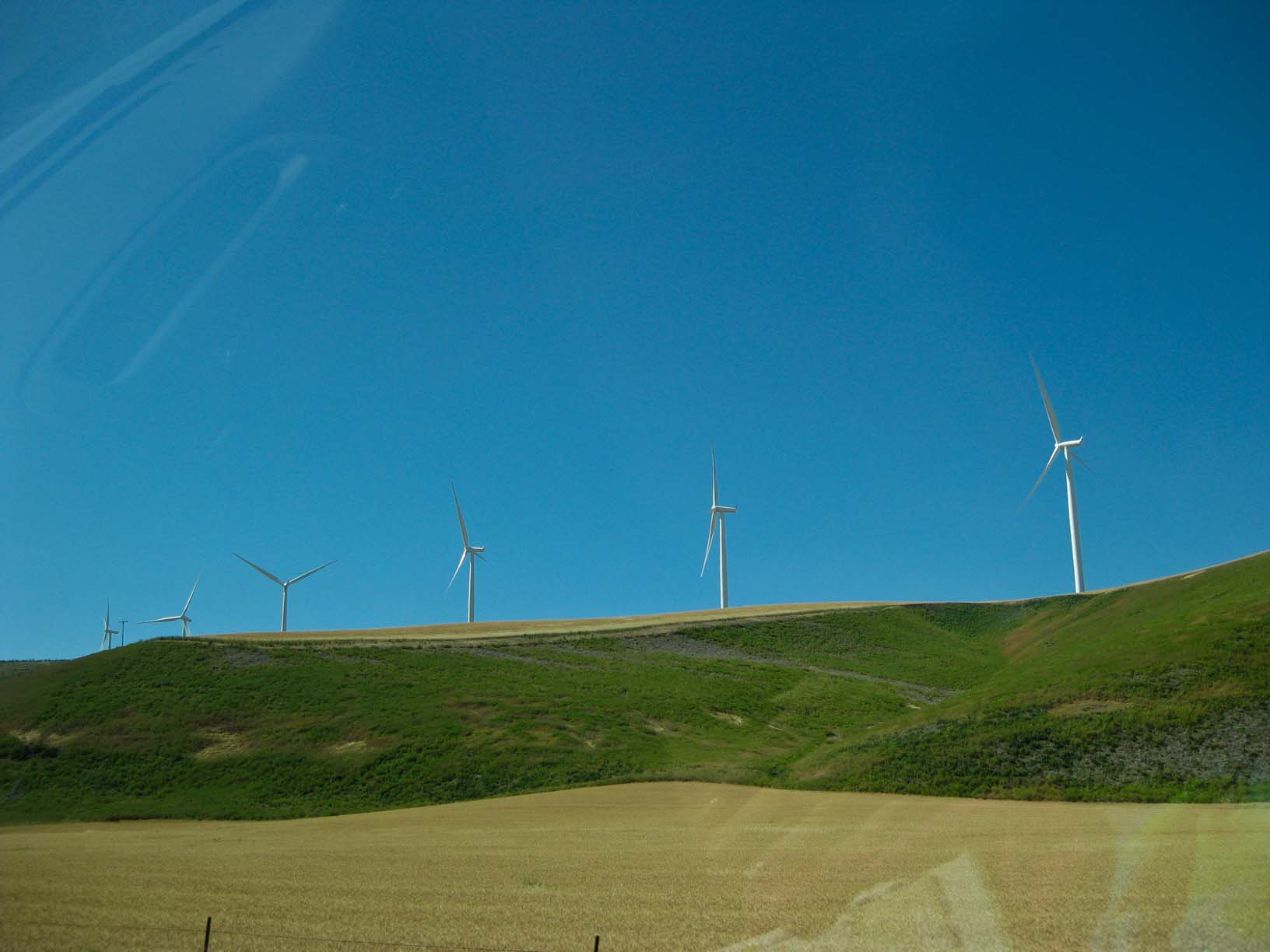
Into the Blue Mountains |
Above Pendleton, Oregon |
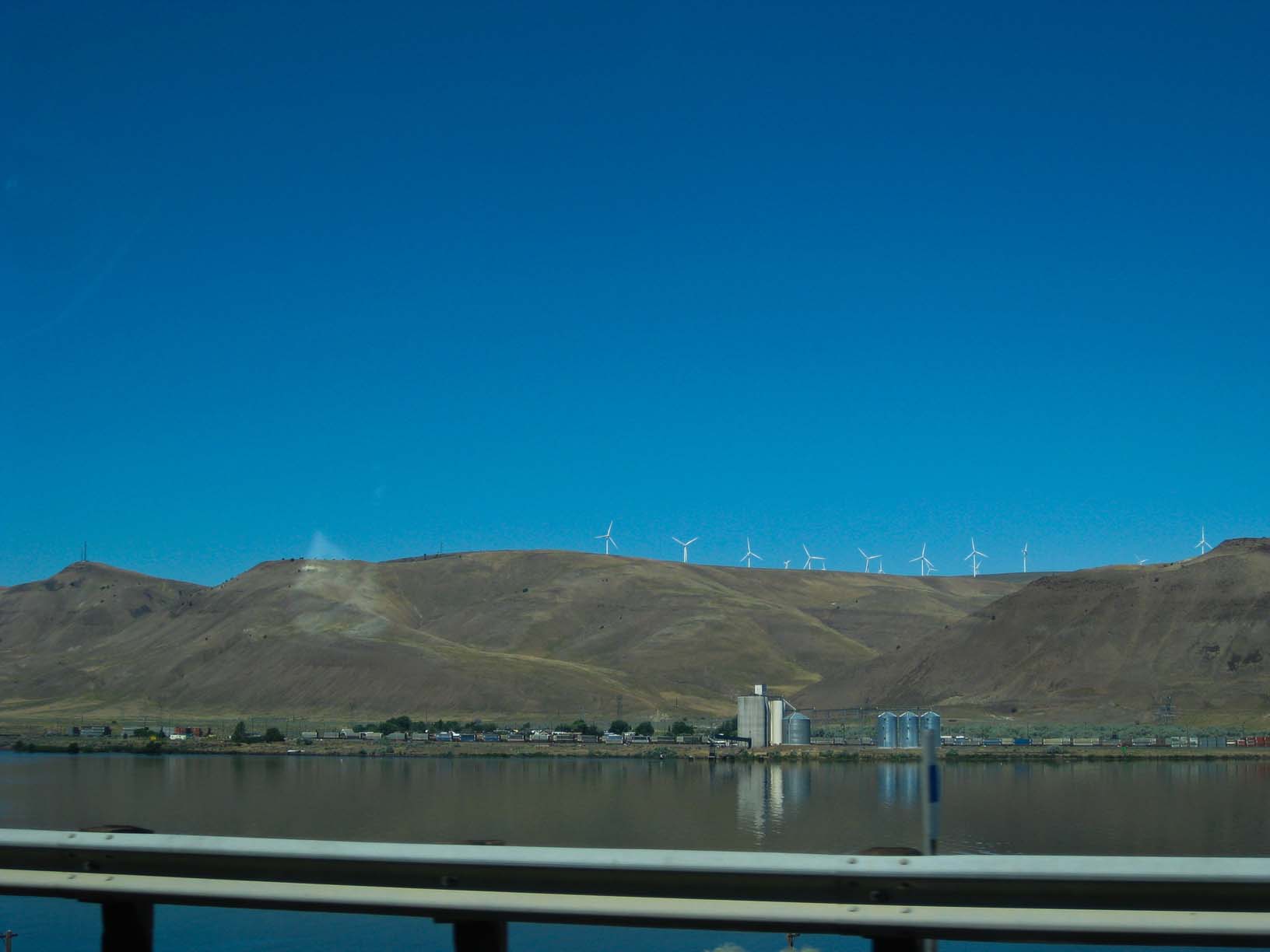
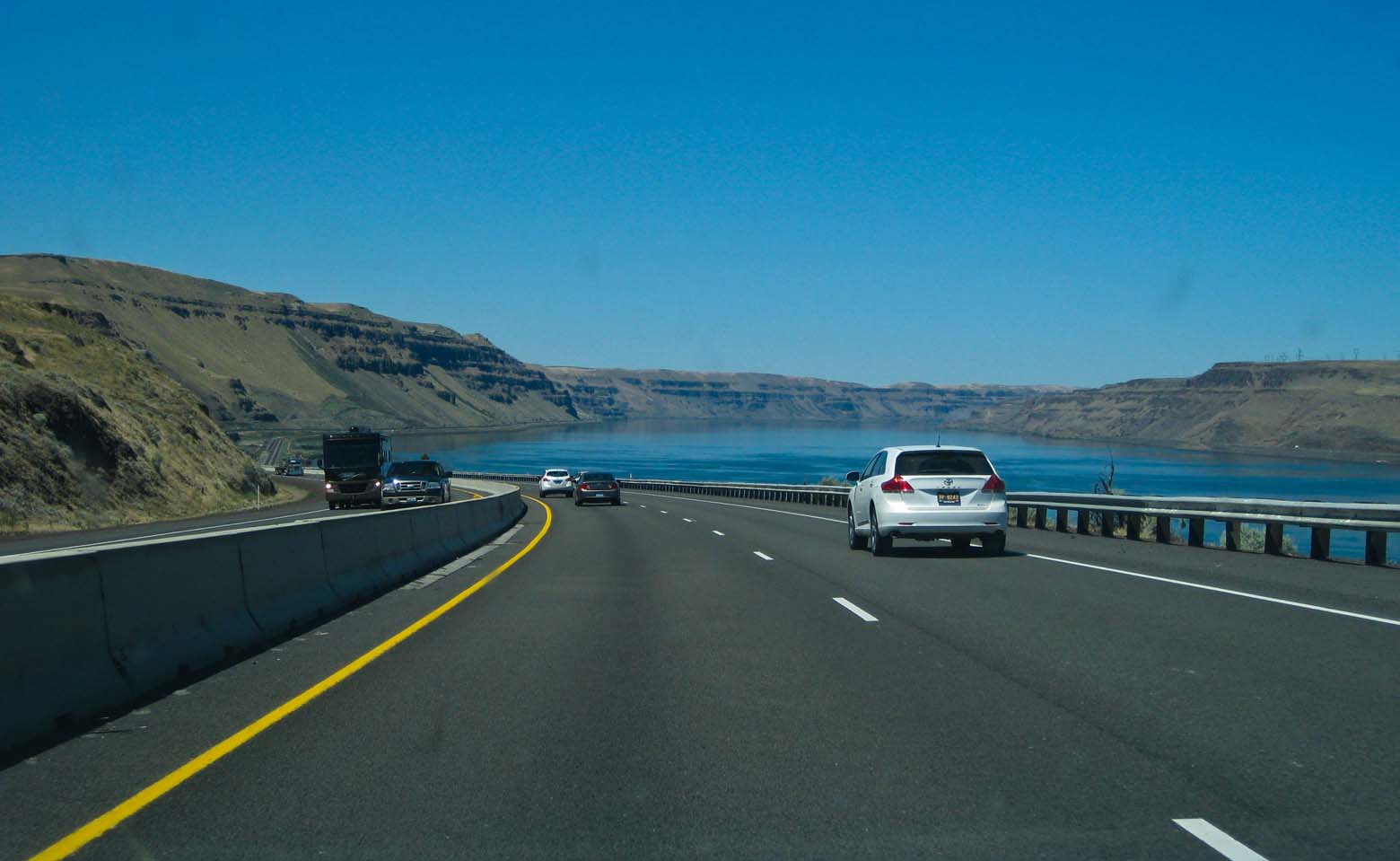
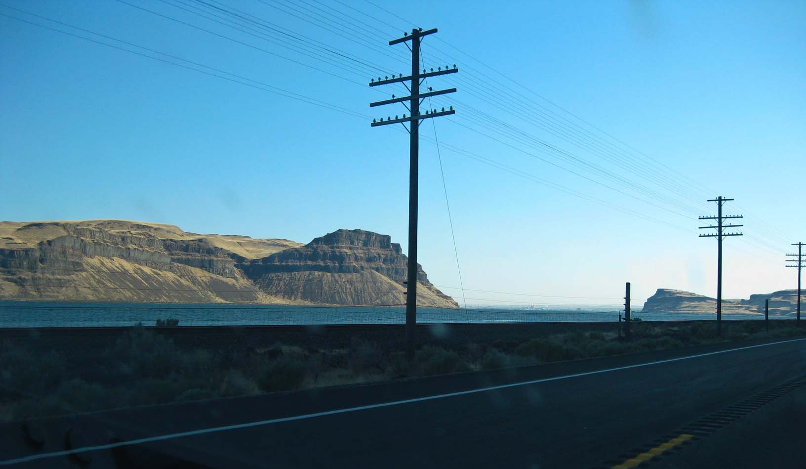
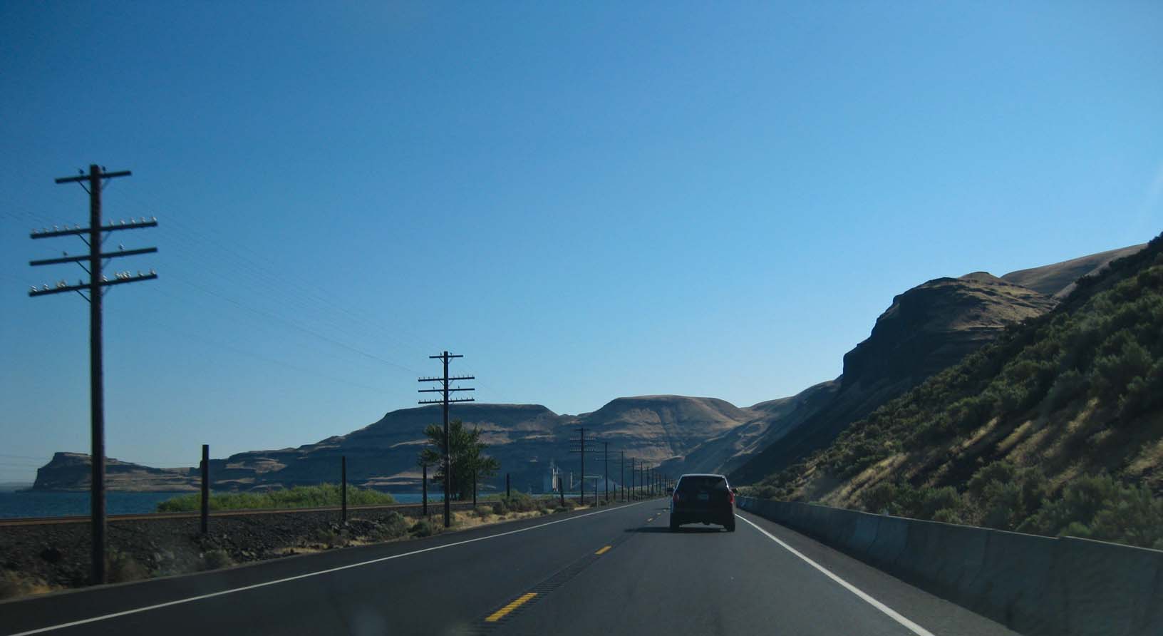
Into The Gorge |
|
|
|
|
|
|
|
|
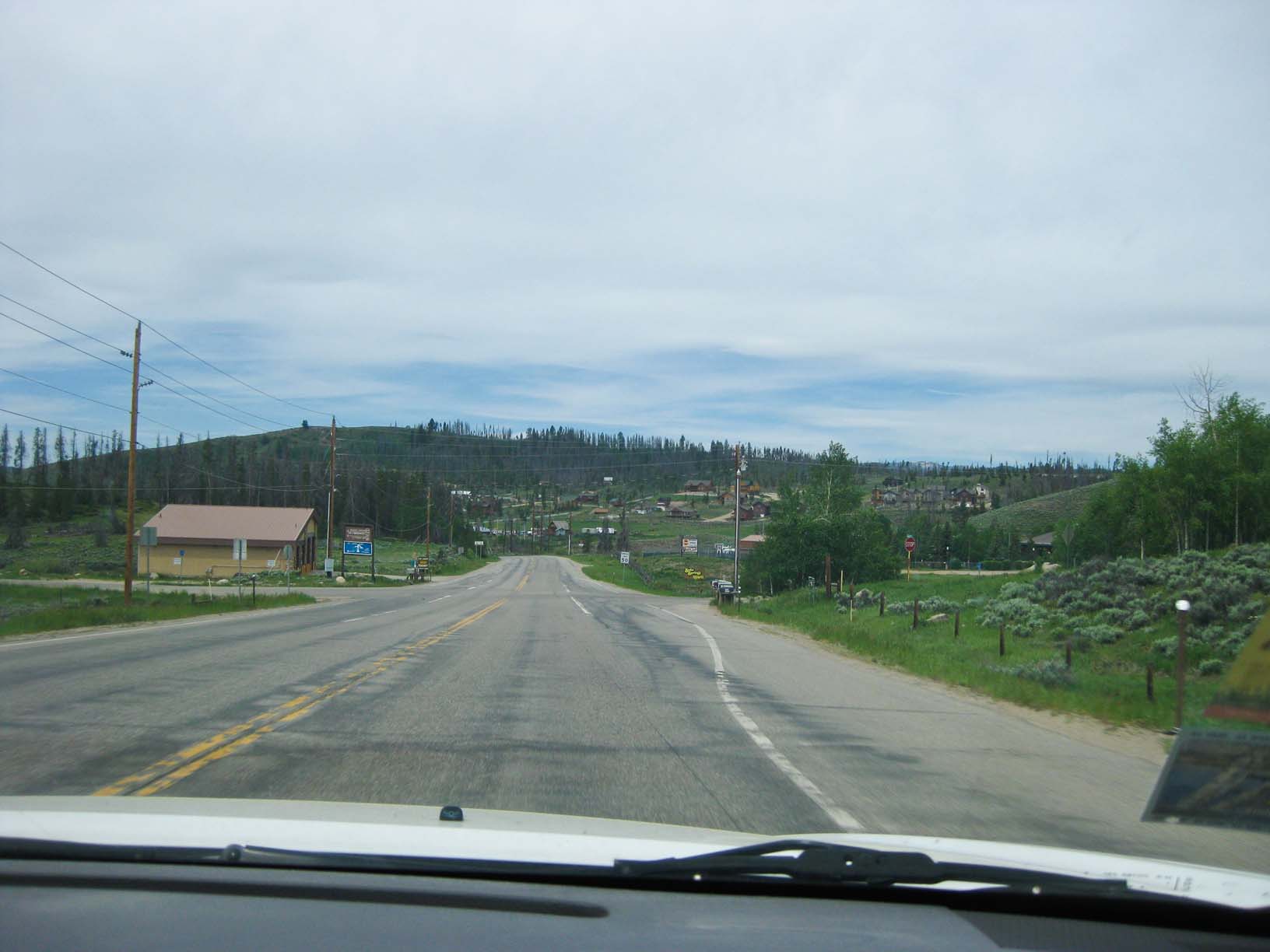
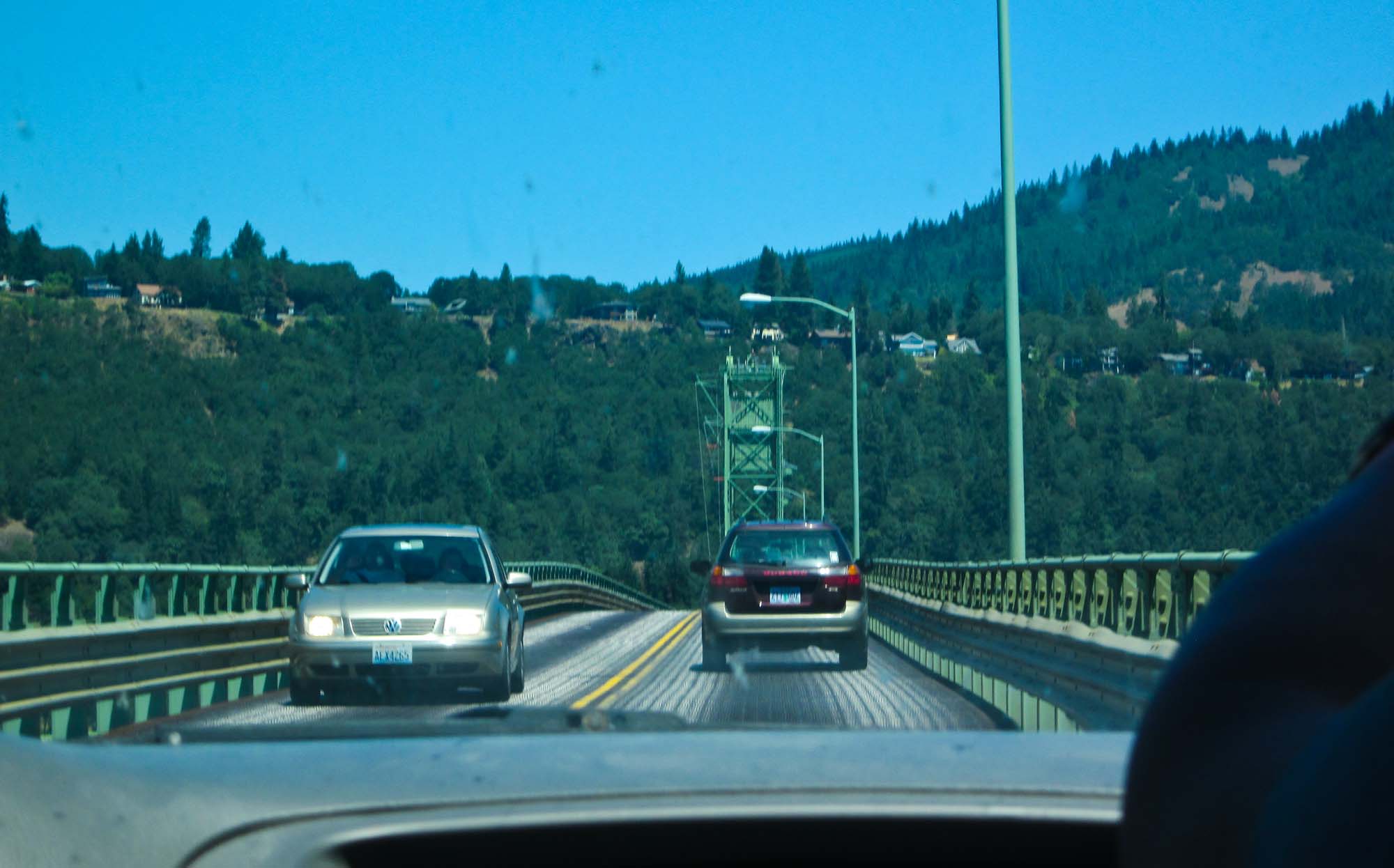
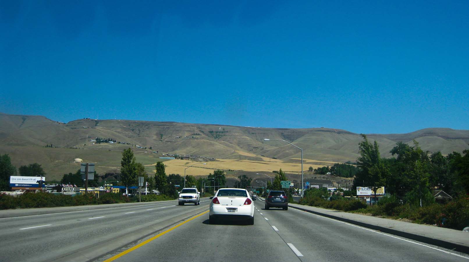
Into White Salmon! |
Home in White Salmon, we made it |
|
|
The shed, before the demolition |
|
|
|
|
|
|
|
Starting to tear down the big shed. |
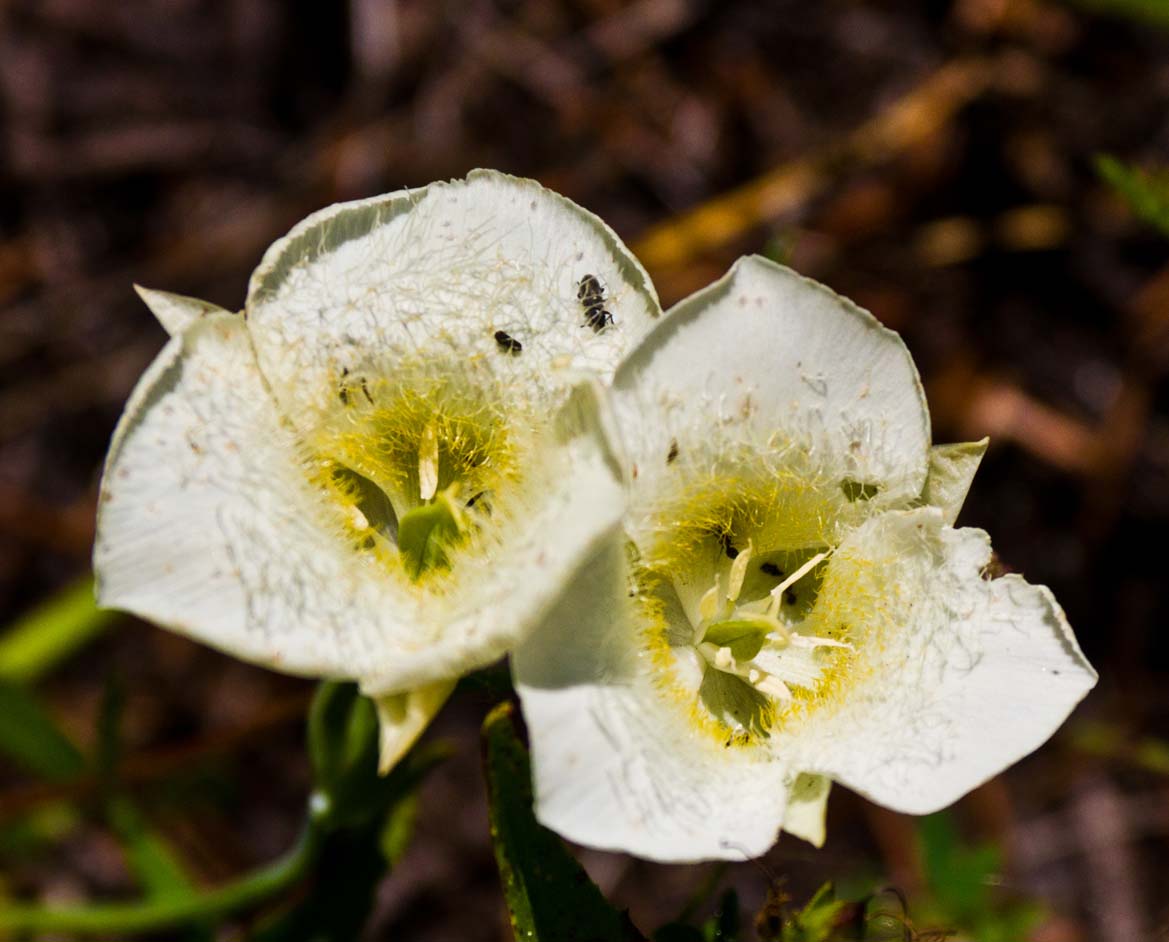
Poppies! |
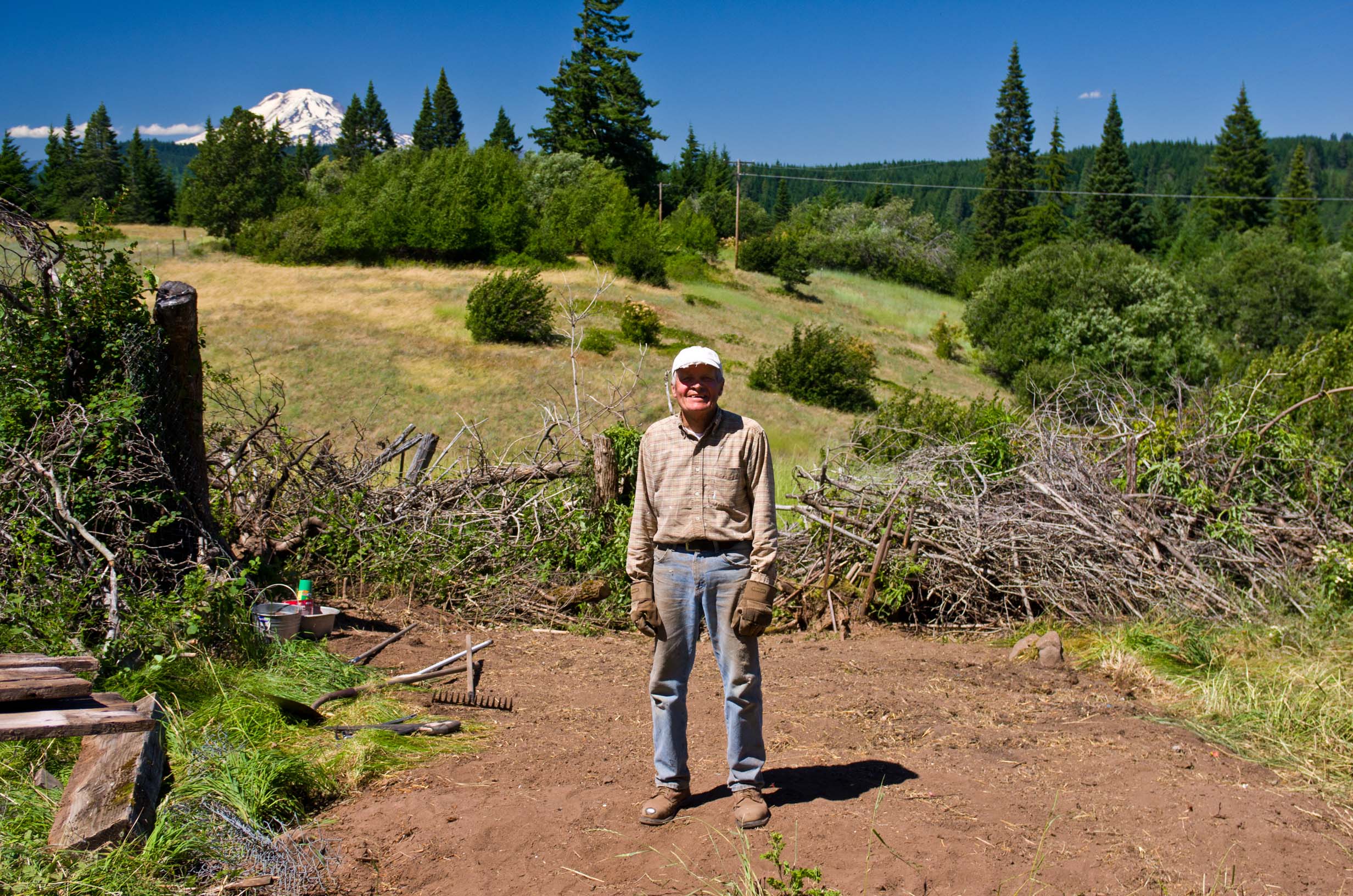
Me at our new sign |
|
|
|
|
|
|
|
|
|
Sunset photos |
|
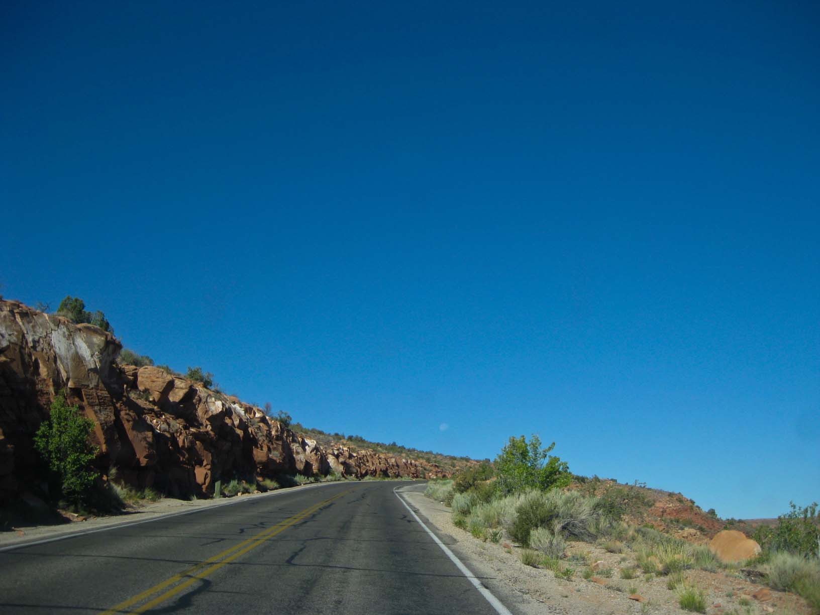
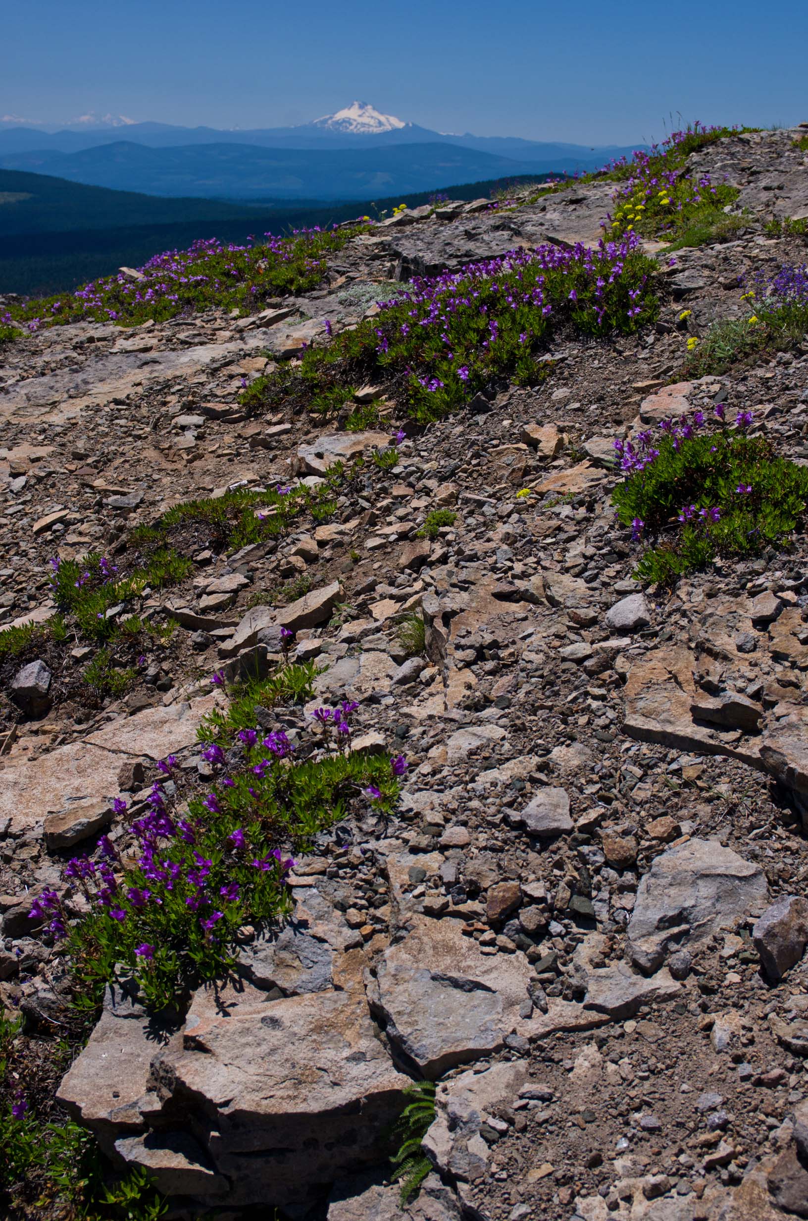
"Grassy Knoll" hike |
"Grassy Knoll" hike |
"Grassy Knoll" hike |
|
|
|
|
|
|
|
"Penninsula" hike |
"Penninsula" hike |
"Penninsula" hike |
"Penninsula" hike |
|
|
|
|
|
|
|
|
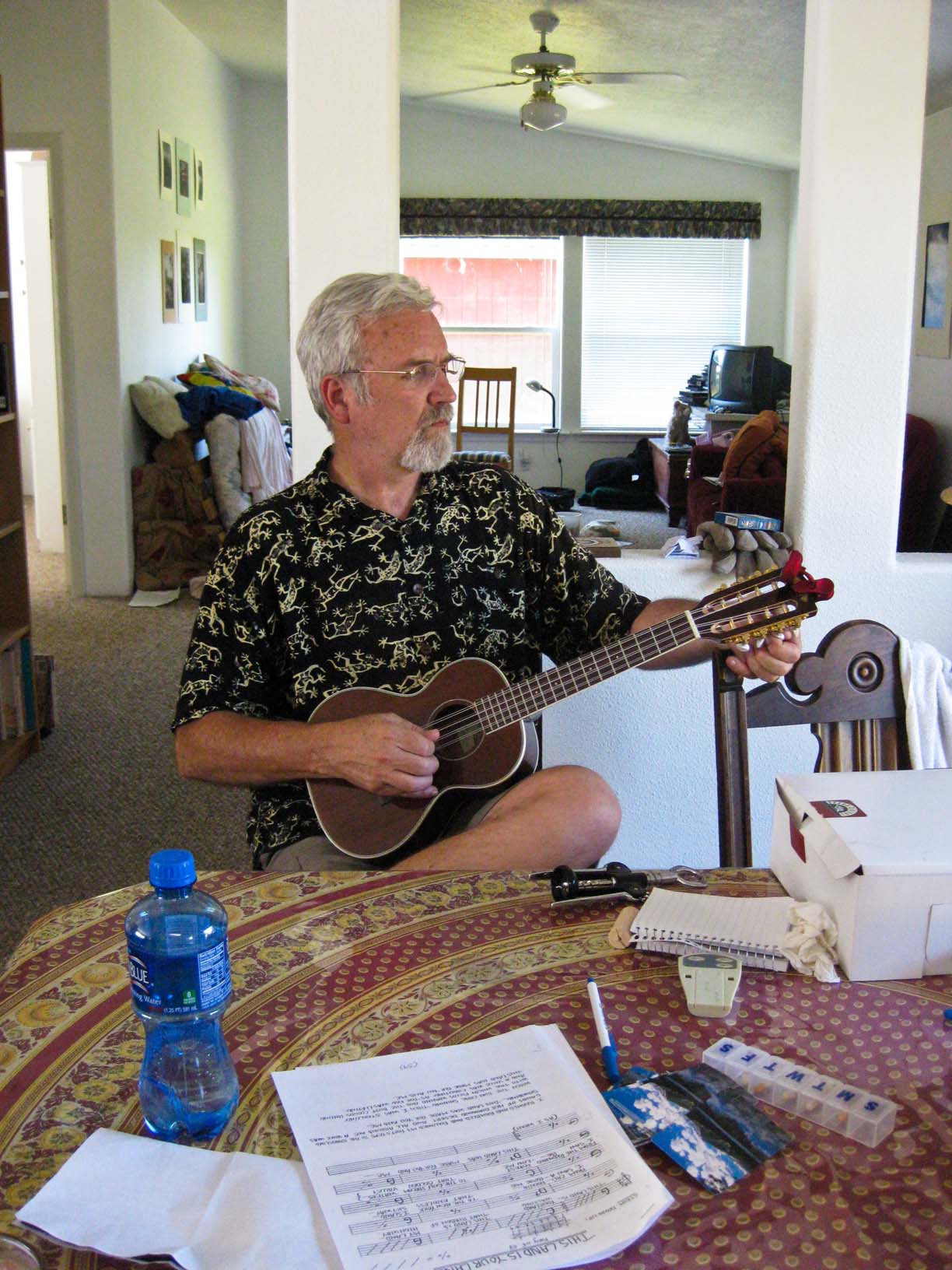
Relaxing with music and friends |
Relaxing with music and friends |
Relaxing with music and friends |
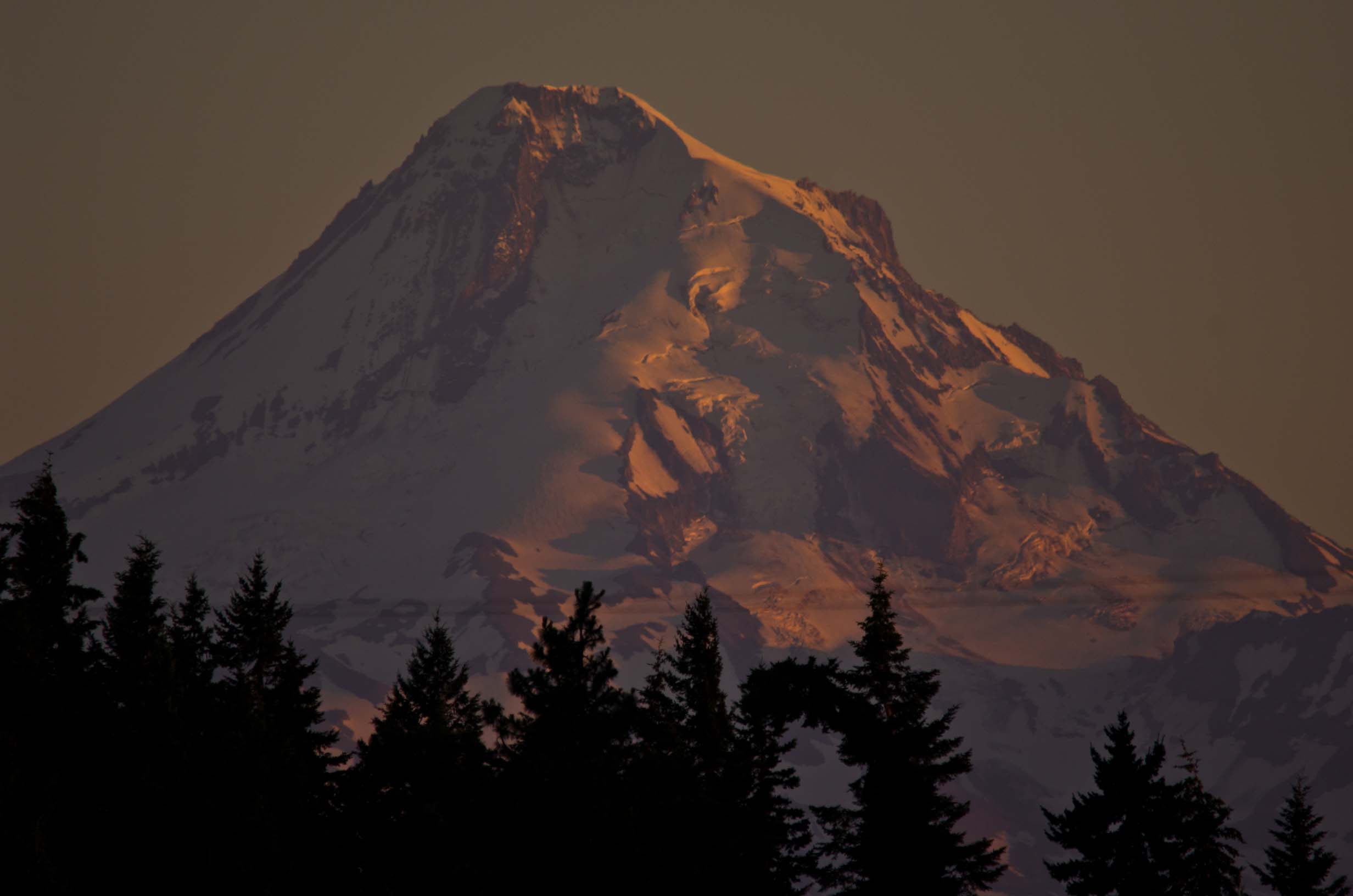
Pink sunset light on Mt. Hood |
Jamie, flying his kite |
|
|
|
|
|
|
|
Group shot with Ben, Gaye, Cara, and Nannette |
|
|
|
|
|
|
|
|
|
|
|
Lookout Mountain hike |
Lookout Mountain hike |
Lookout Mountain hike |
Lookout Mountain hike |
Lookout Mountain hike |
|
|
|
|
|
|
|
Lookout Mountain hike Jamie's pictures below |
Petroglyph site at Horsethief Lake |
Petroglyph site at Horsethief Lake |
Petroglyph site at Horsethief Lake |
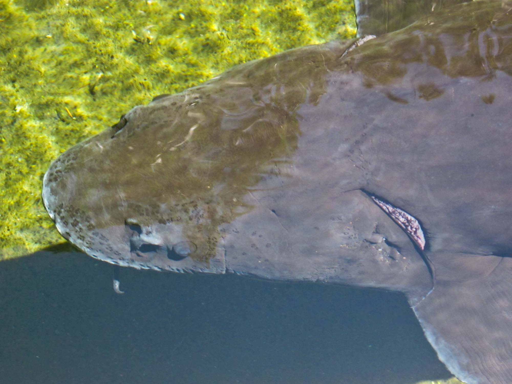
At the Bonneville Fish Hatchery and Sturgeon Center |
|
|
|
|
|
|
|
At the Bonneville Fish Hatchery and Sturgeon Center |
At the Bonneville Fish Hatchery and Sturgeon Center |
At the Bonneville Fish Hatchery and Sturgeon Center |
At the Bonneville Fish Hatchery and Sturgeon Center - Jamie's photos |
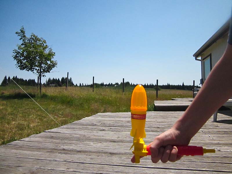
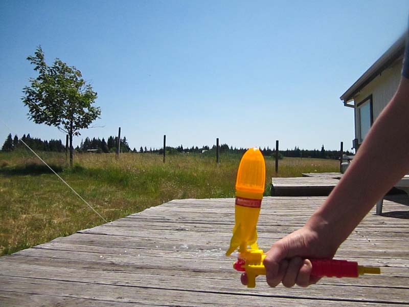
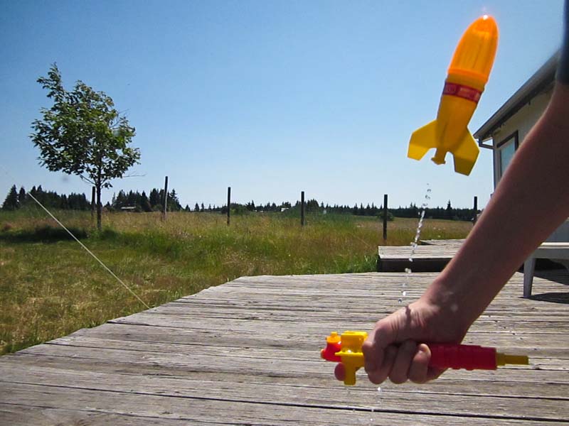
Jamie's water rocket pictures |
|
|
|
|
|
|
|
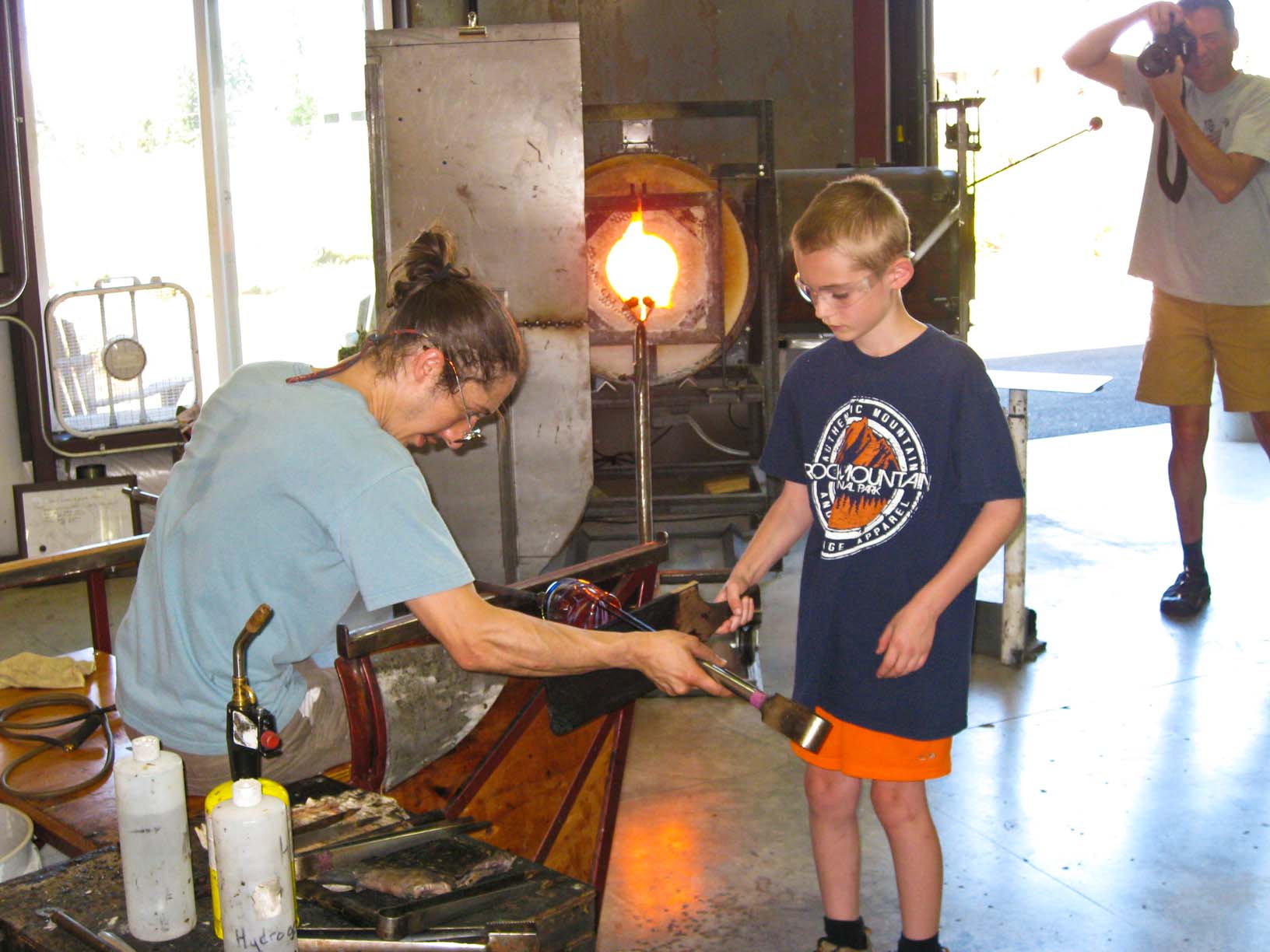
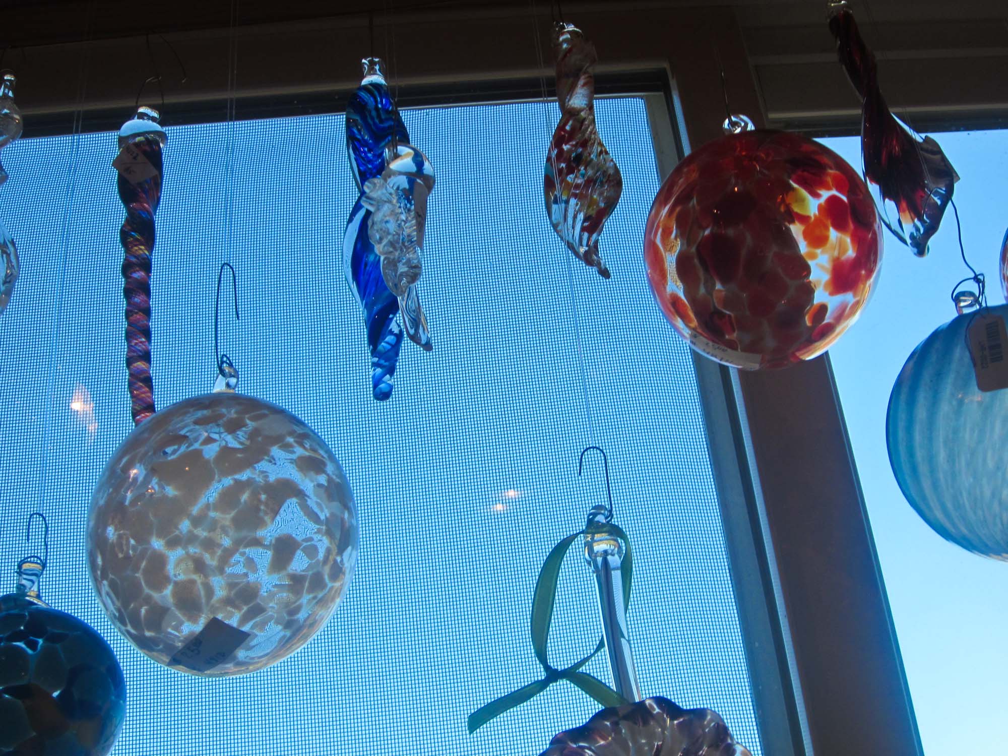
At Glassometry in Hood River |
At Glassometry in Hood River |
At Glassometry in Hood River Jamie, Cara, and Ben made glass |
At Glassometry in Hood River Jamie, helping to make his glass |
At Glassometry in Hood River Jamie, helping to make his glass |
|
|
|
|
|
|
|
At Glassometry in Hood River Jamie, helping to make his glass |
At Glassometry in Hood River Jamie, helping to make his glass |
At Glassometry in Hood River Ben helping to make his glass |
Jamie's pictures from Glassometry in Hood River |
Walking around our place |
|
|
|
|
|
|
|
Shed demolition Slide show of the demo, HERE |
Shed demolition |
Shed demolition - Shed Down! |
Shed demolition |
Our neighbor Bruce finished the work for me: A clean sweep! |
|
|
|
|
|
|
|
And then on to the second shed! The views are getting better all the time! |
Video Jamie took of Steve pulling down the second shed with his tractor |
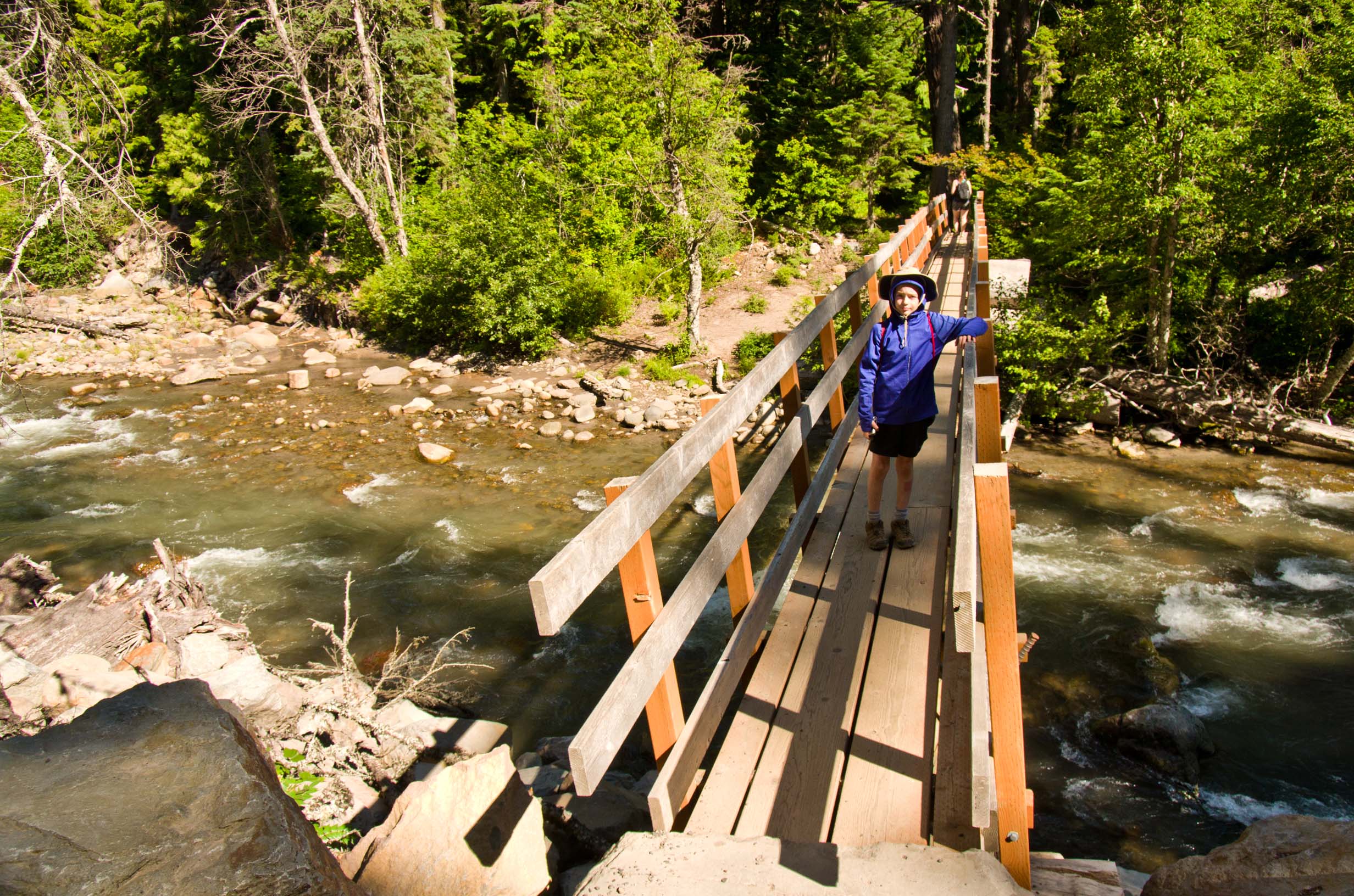
Jamie and I hiked to Tamanawas Falls |
Jamie and I hiked to Tamanawas Falls |
Jamie and I hiked to Tamanawas Falls I like Jamie's photo with the screen of flying droplets |
|
|
|
|
|
|
|
Around our place |
Around our place |
Around our place |
Around our place |
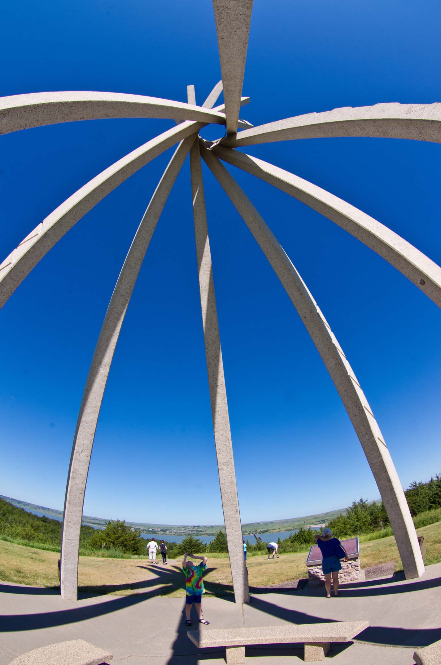
Jamie having fun with his fisheye effect |
|
|
|
|
|
|
|
Jamie having fun with his fisheye effect |
Jamie having fun with his fisheye effect |
Jamie having fun with his fisheye effect |
Gracie |
Jamie's photos around the place |
|
|
|
|
|
|
|
Nearing the end: A full dumpster |
Project for next year: Trimming the trees around the barn |
Our last evening in White Salmon: Dinner at Jeanne and Steve's place |
Our last evening in White Salmon: Dinner at Jeanne and Steve's place |
Our last evening in White Salmon: Dinner at Jeanne and Steve's place |
|
|
|
|
|
|
|
Early morning in the Gorge The start of our return road trip |
The Columbia just west of Walla Walla |
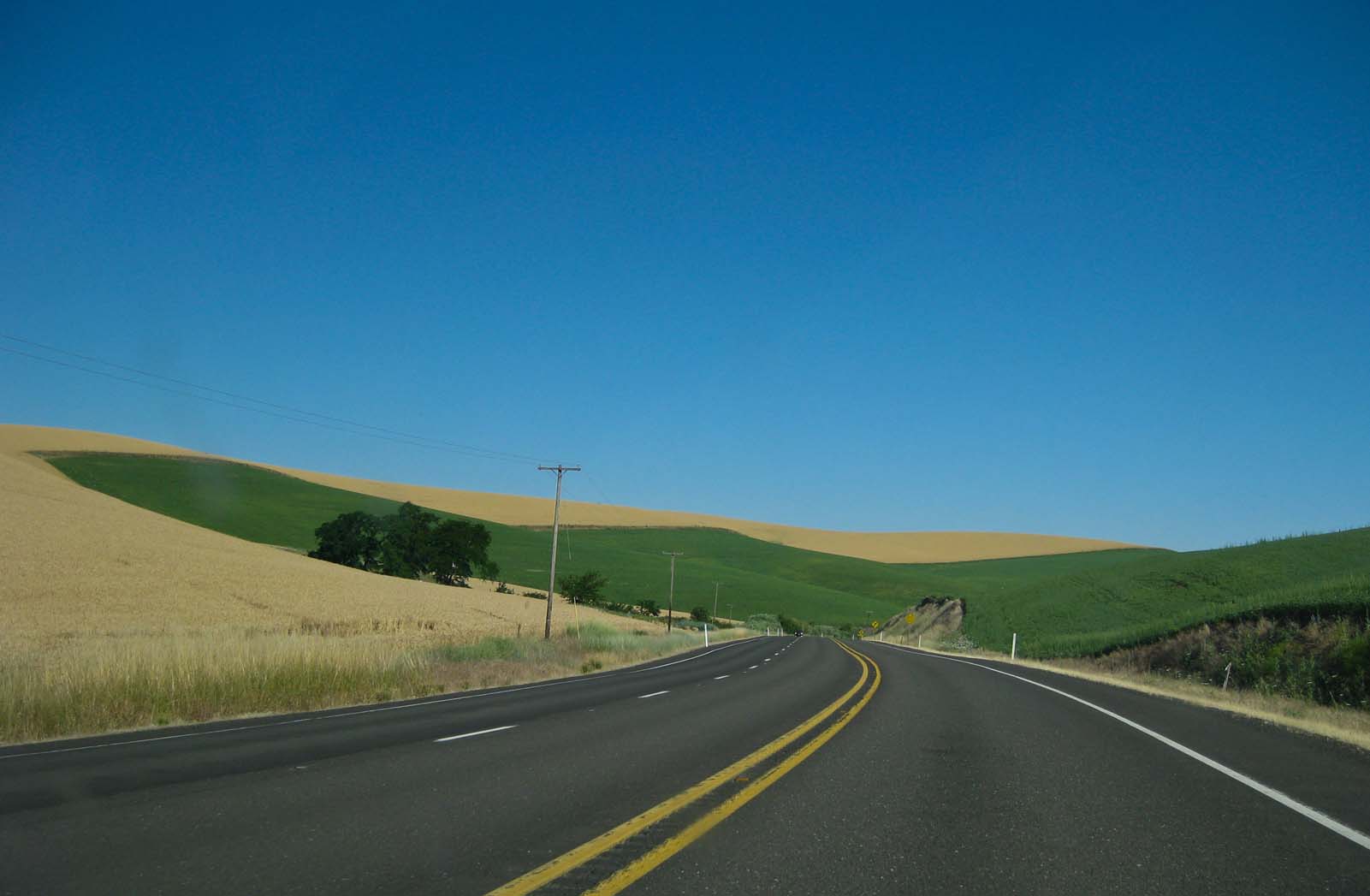
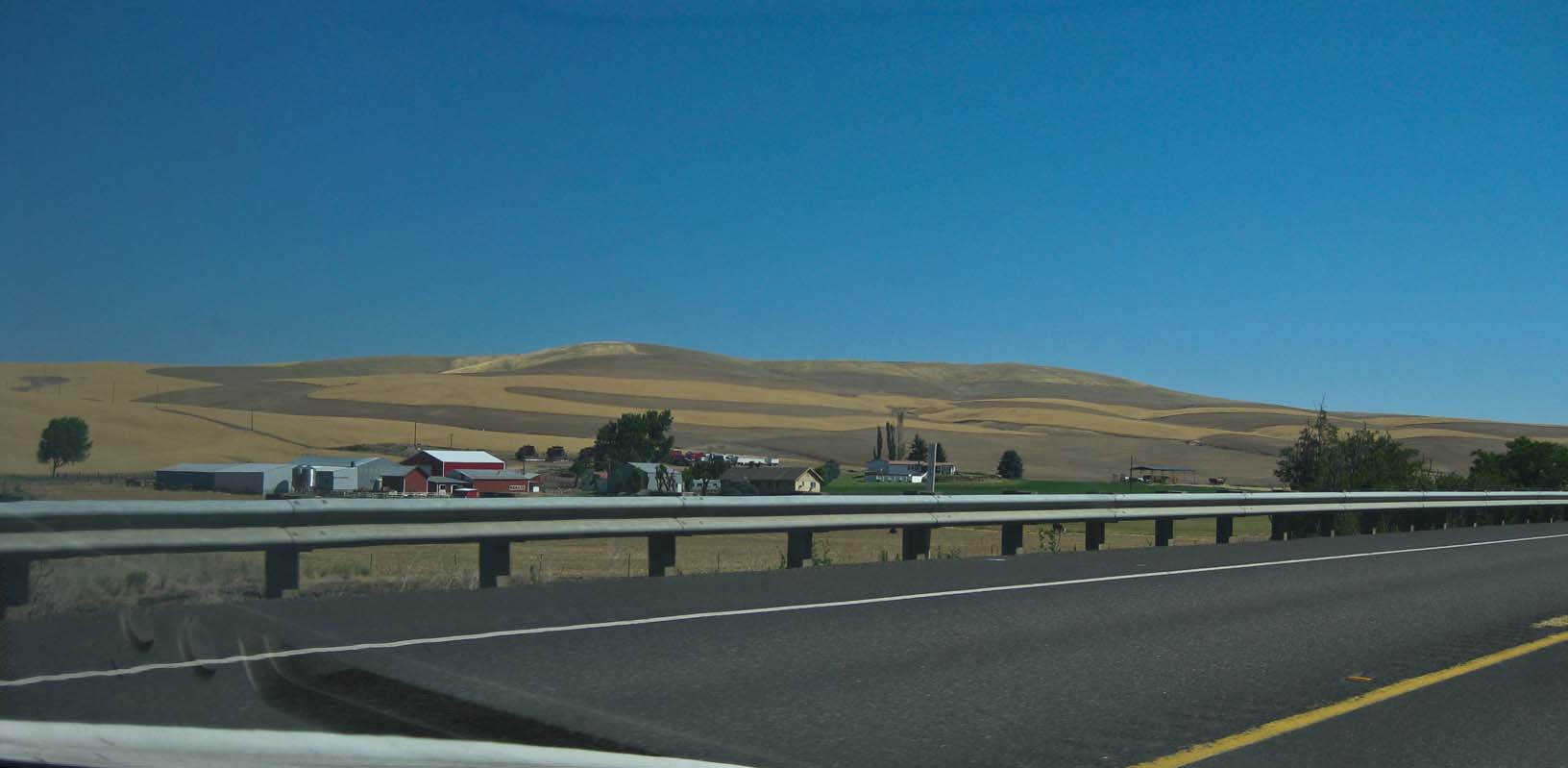
The Palouse |
|
|
|
|
|
|
|
|
|
Following the Clearwater River and Lochsa River into Idaho |
The Lochsa |
To Lolo Pass into Montana |
Deer, outside our hotel in Missoula, second morning |
Eastern Montana |
|
|
|
|
|
|
|
Over the Continental Divide in Montana |
|
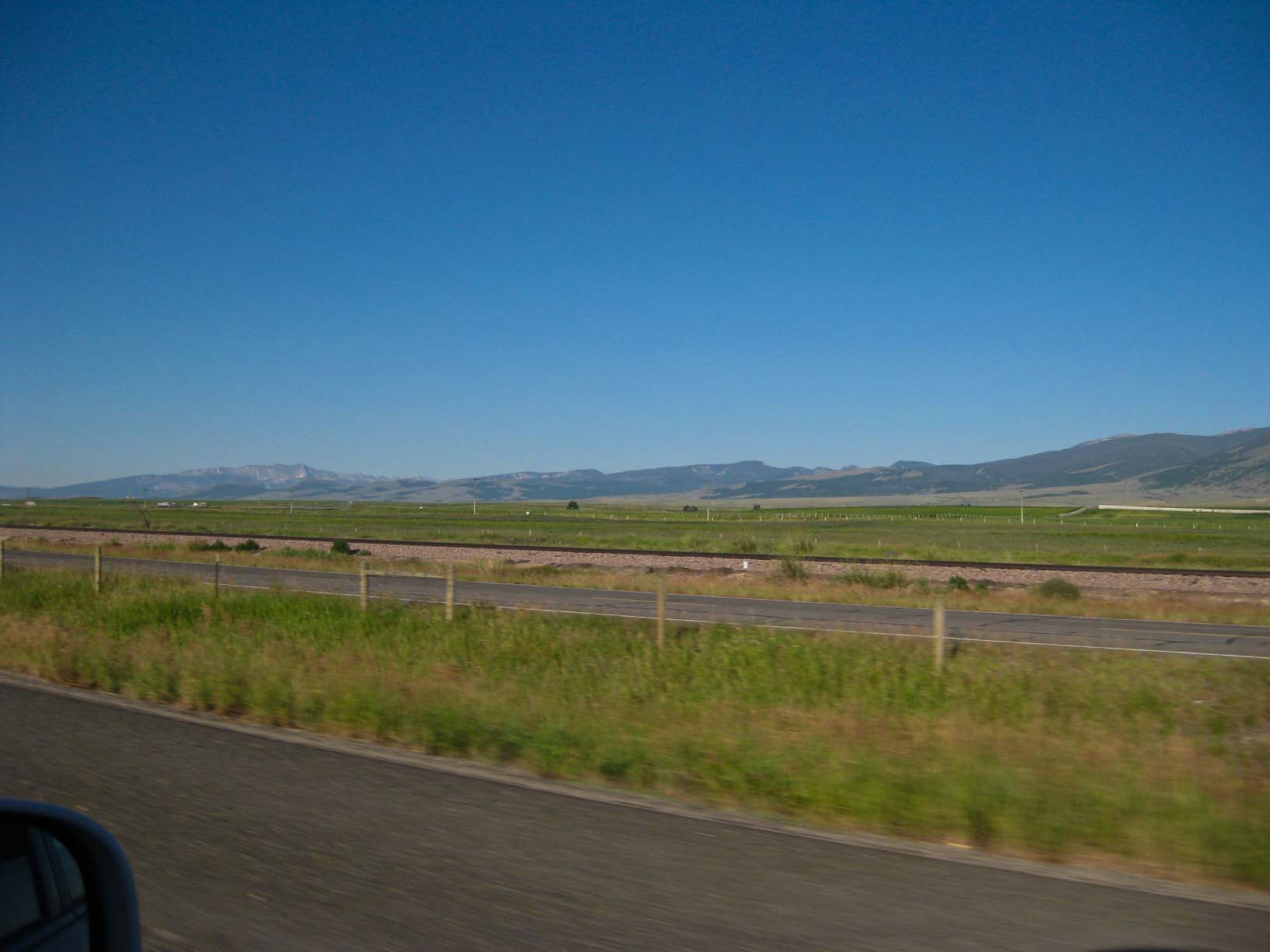
Eastern Montana -- amazingly green |
Milepost 550 on I-90 in Montana |
Into Wyoming |
|
|
|
|
|
|
|
Jamie, northern Wyoming |
Sheridan, WY, the Bighorn Mountains |
|||
|
|
|
|
|
|
|
I've never seen WYoming this green |
|
To Devil's Tower National Monument |
||
|
|
|
|
|
|
|
|
||||
|
|
|
|
|
|
|
|
||||
|
|
|
|
|
|
|
|
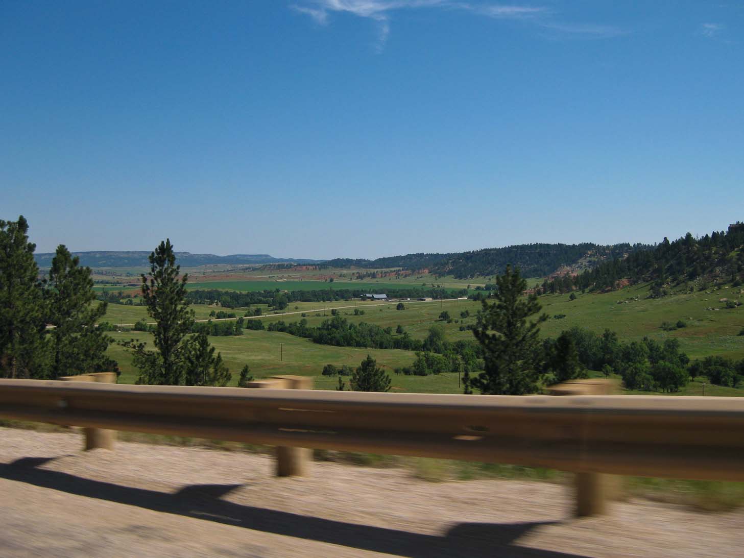
Skirting the Black Hills |
Approaching Wall, SD At Wall Drug |
Pronghorns, before dawn, Badlands NP |
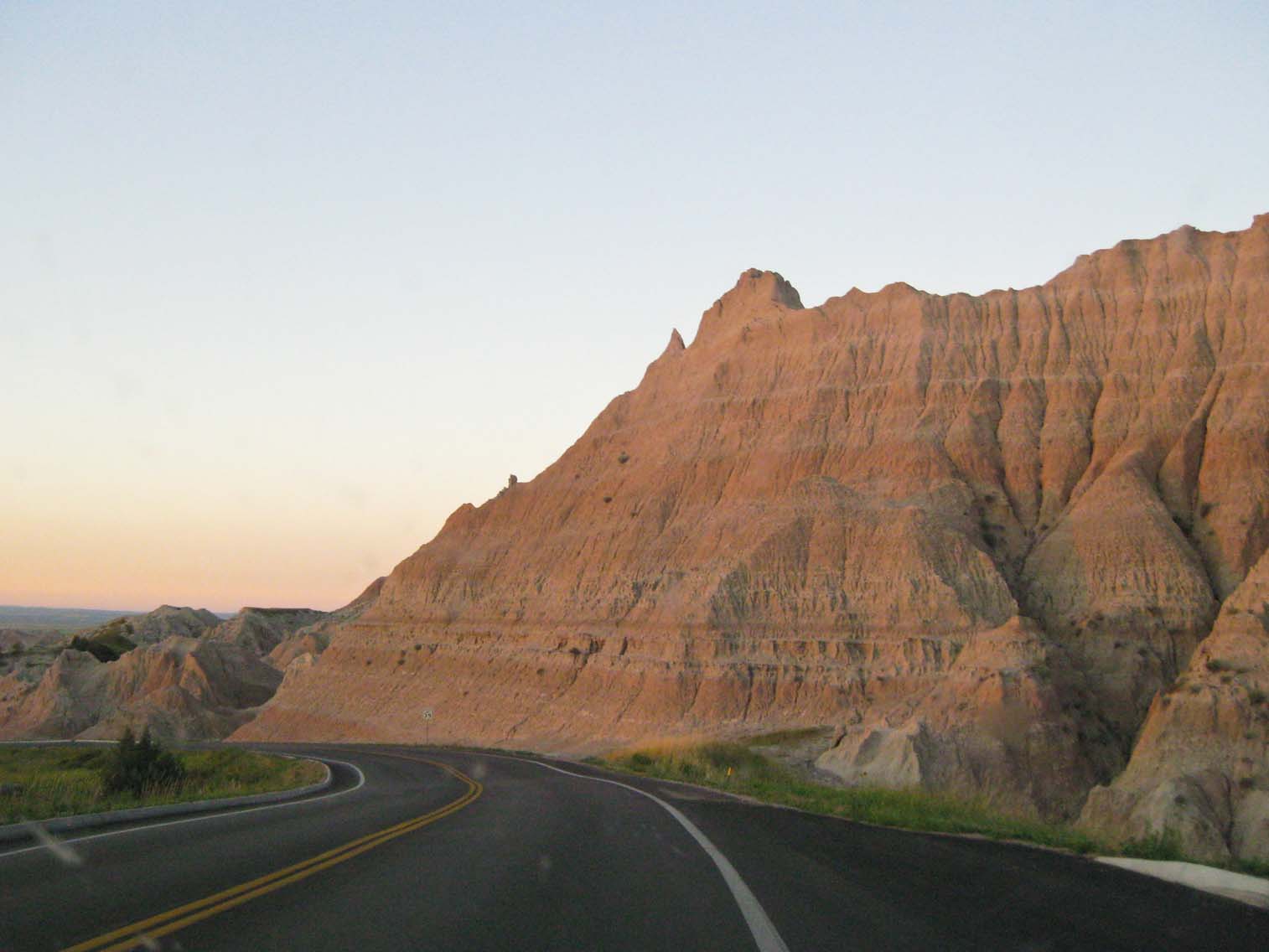
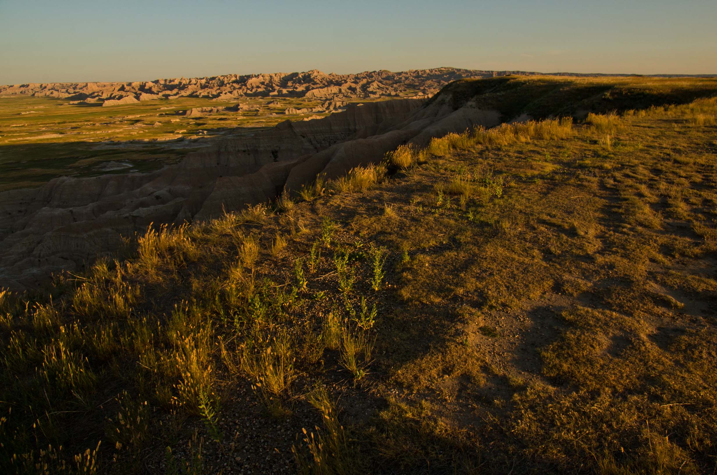
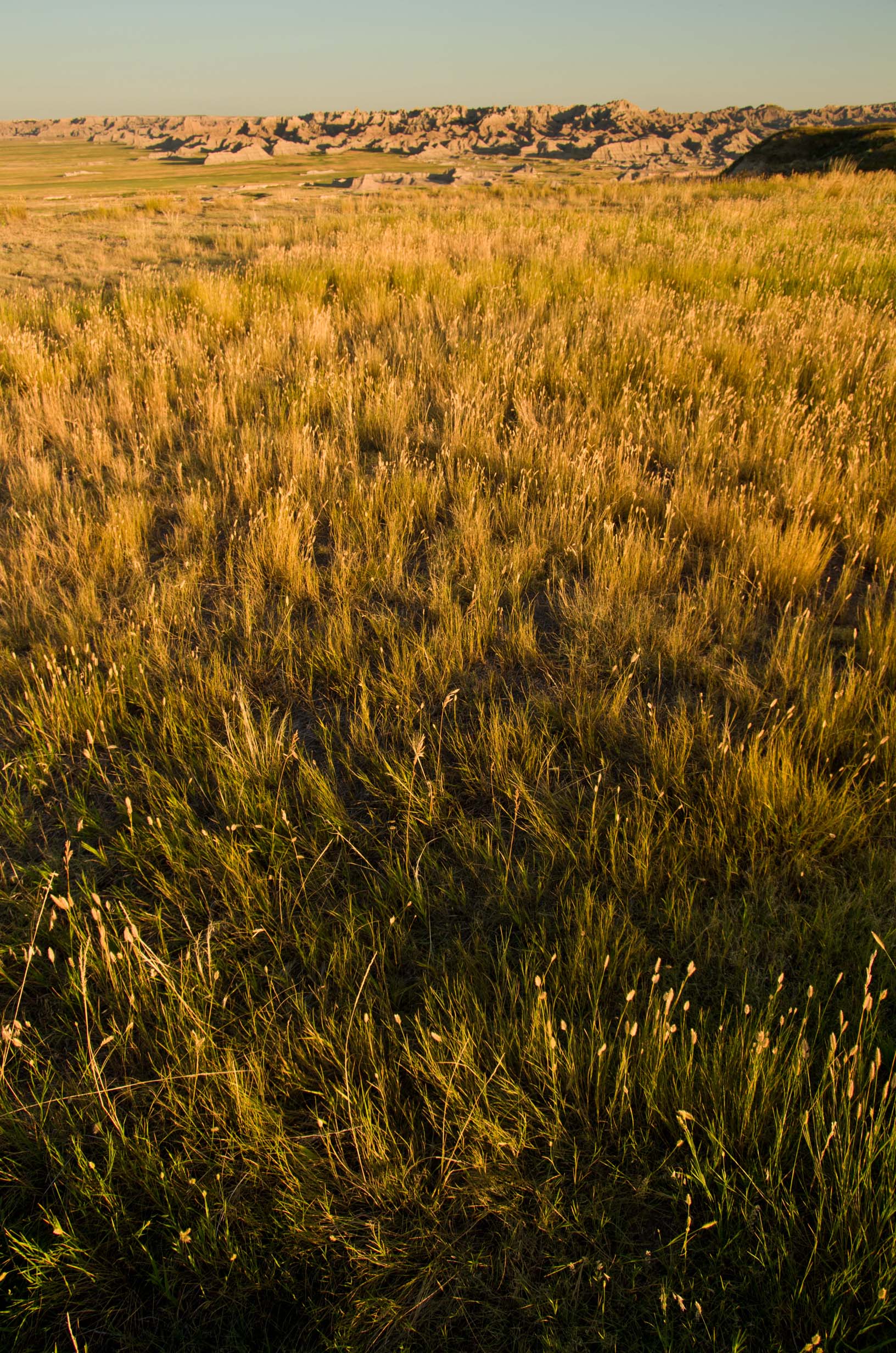
Dawn over Badlands NP |
|
|
|
|
|
|
|
Deer in the grass, Badlands NP |
||||
|
|
|
|
|
|
|
I've never been this close to a bighorn sheep before: Right beside the road. Badlands NP |
||||
|
|
|
|
|
|
|
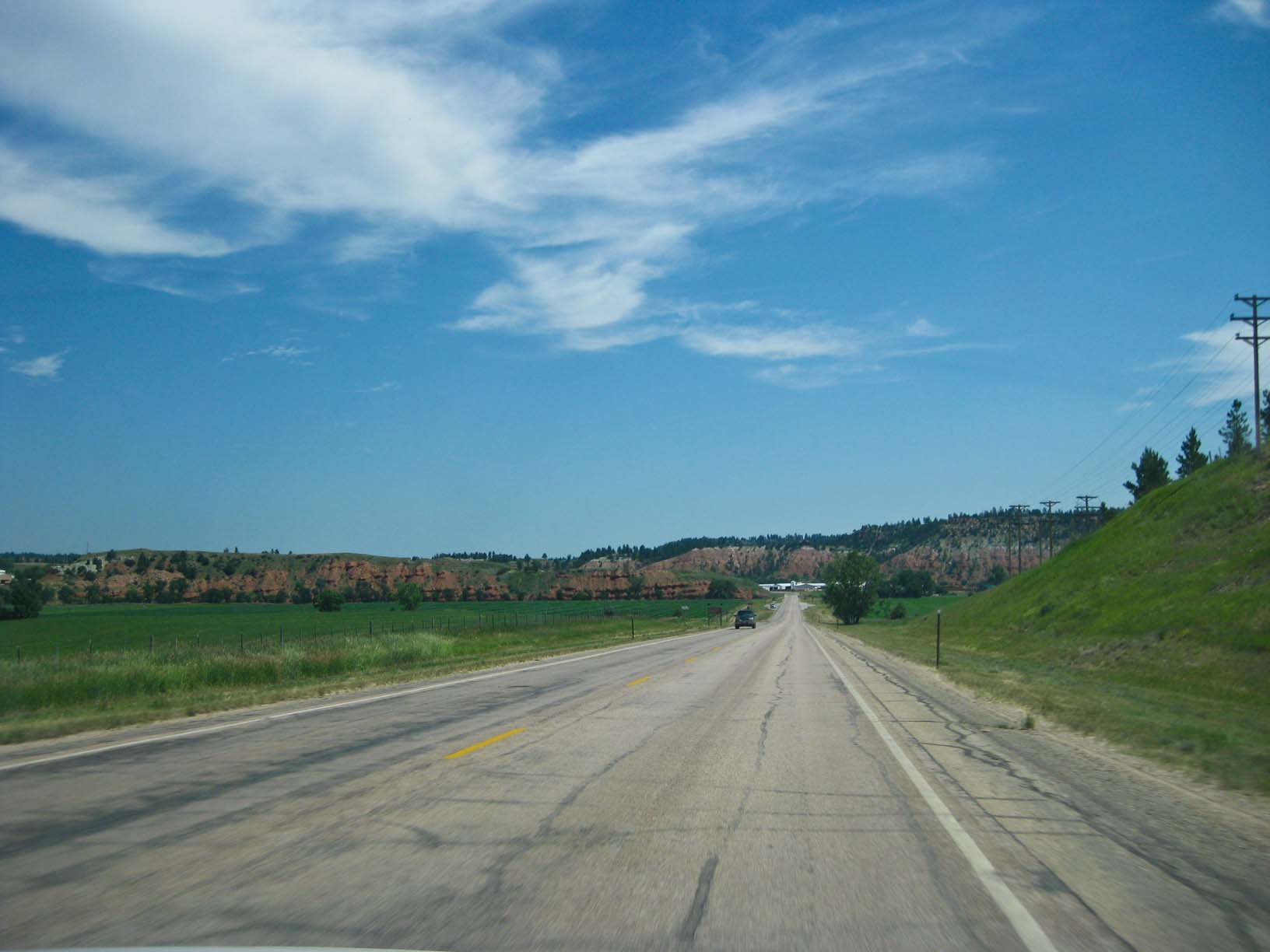
Across South Dakota |
Crossing the Missouri River on I-90 |
Crossing the Missouri River on I-90 |
||
|
|
|
|
|
The End |
|
Crossing the Missouri River on I-90 |
Crossing the Missouri River on I-90 |
Across eastern South Dakota, heading for home Look how GREEN it is! |
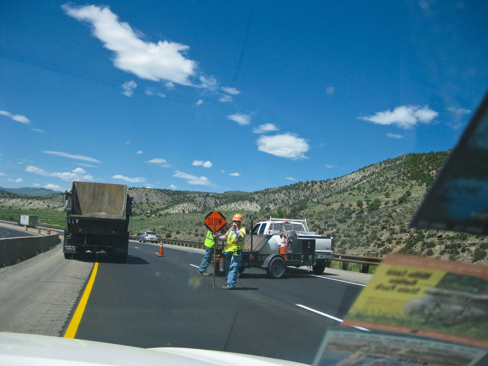
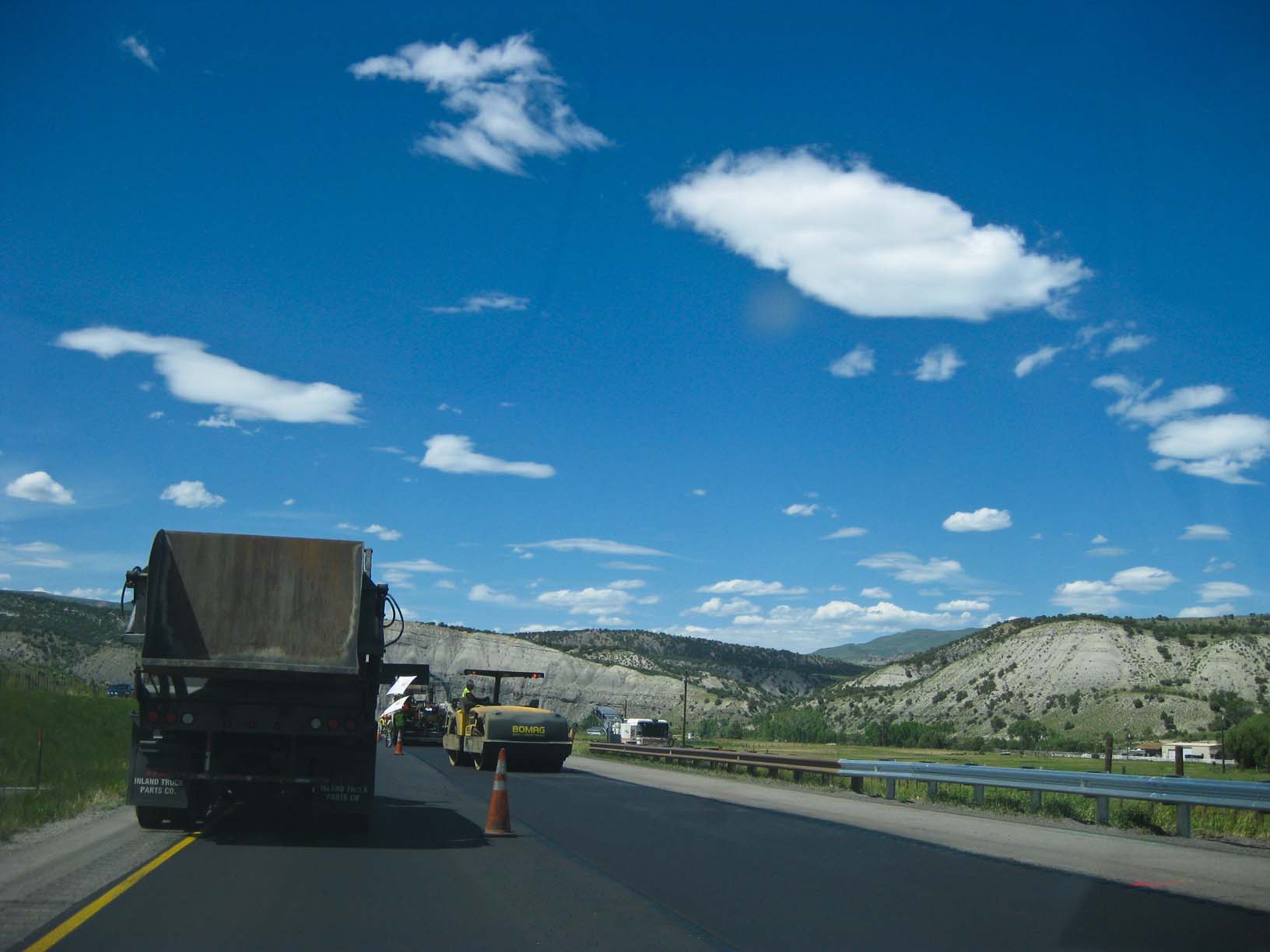
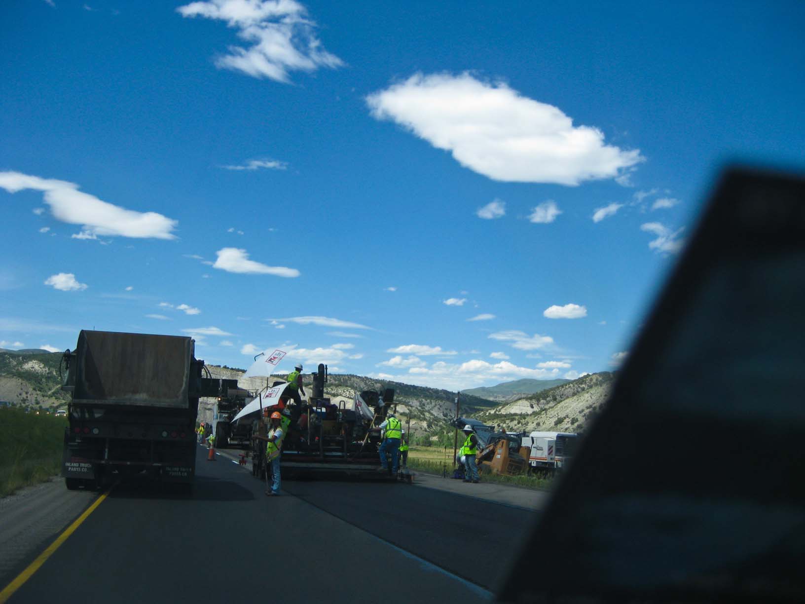
Of course, ending up with road work in Minnesota too! |
|
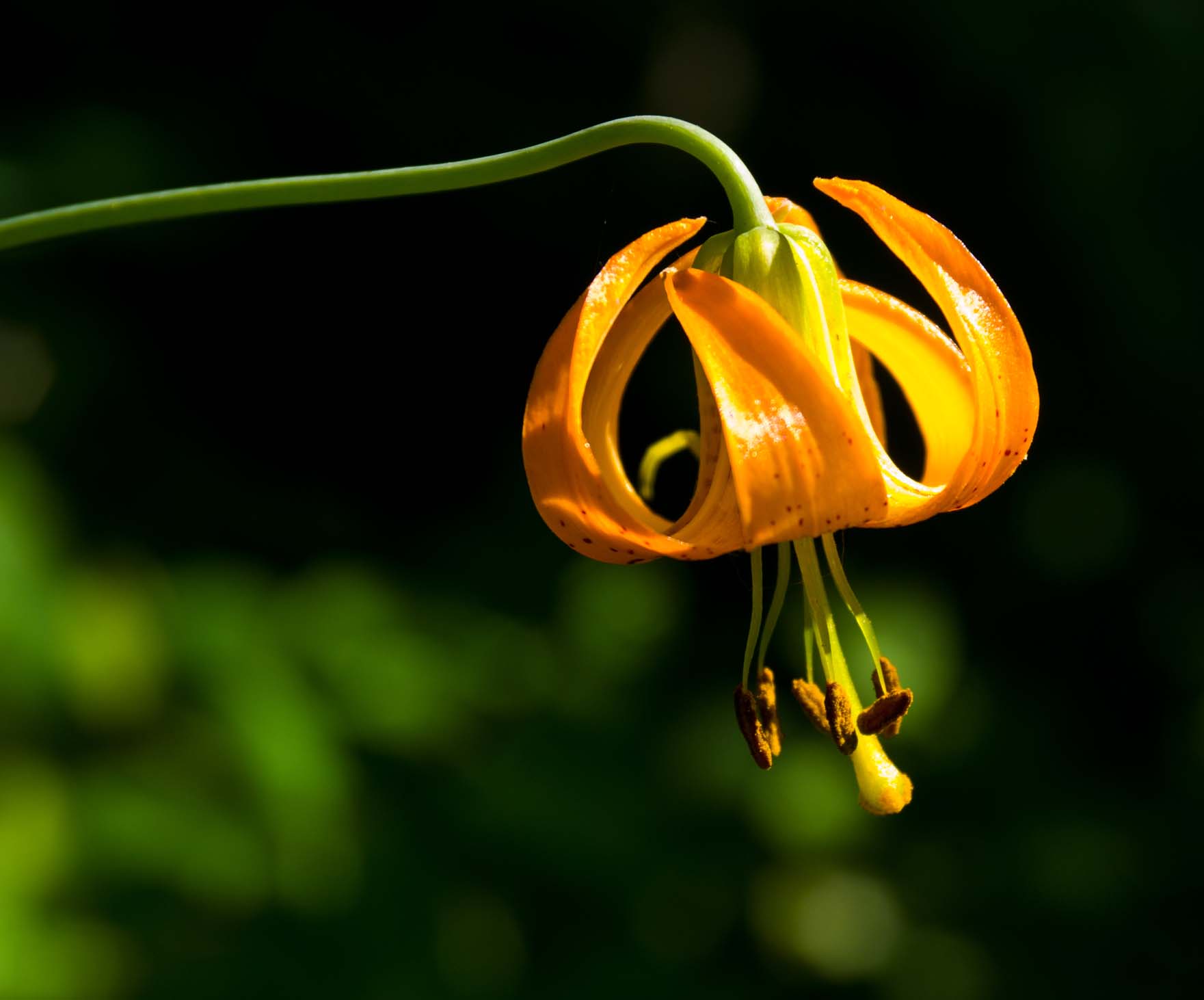
Background image is Lupine in the fields at our place, 2009
Last updated: 12-Jun-2024